TBD County Road 347 Fort Steele, WY 82301
- Added:
- Jan 13, 2026
- Days on Market:
- 113
- Last Refresh:
- May 6 at 11:06 pm
Property Features for TBD County Road 347
General Information
- Property type
- Land
- Property subtype
- Other
- Zoning
- 300
- Parking features
- Garage
- Standard status
- Active
- APN
- 21852610002000
- Lot size
- 155.46 Acres
Taxes and HOA fees
- Tax Annual Amount
- 0
Building Details
- Architectural style
- Other
Listing agent Ethan Janicki (303) 963-6738
Listing office Great Plains Land Co. 501 N. Walker Ave., Suite 100, Oklahoma City, WY (405) 255-0051
Listing date Jan 13, 2026
MLS# 11631134
Listing URL
Copyright © 2026 My State MLS. All rights reserved. All information provided by the listing agent/broker is deemed reliable but is not guaranteed and should be independently verified.
HighLights
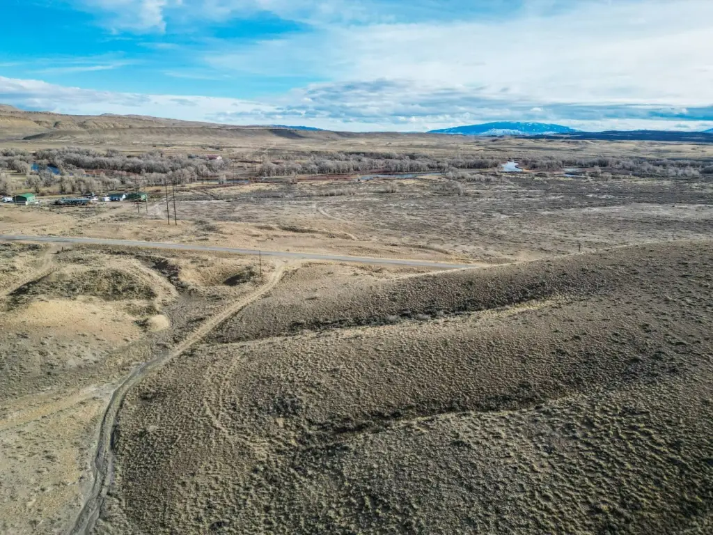
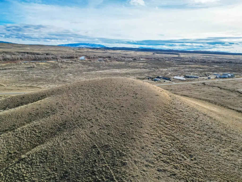
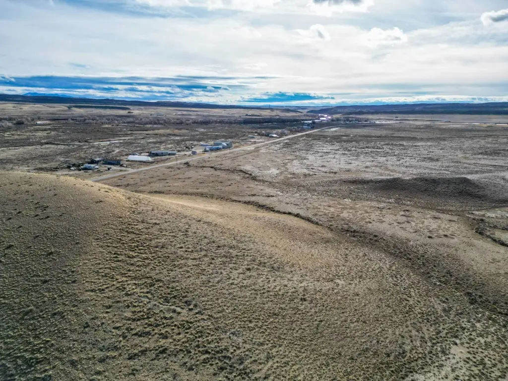
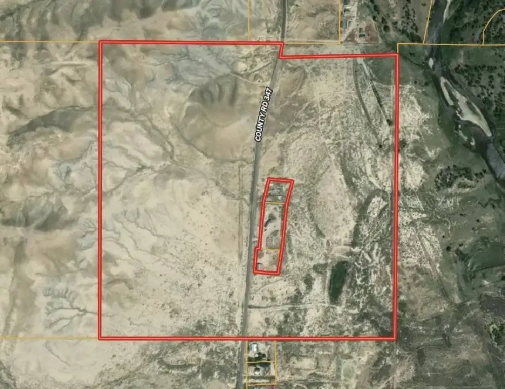
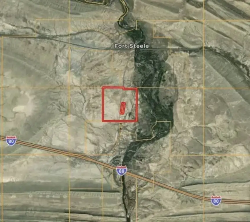
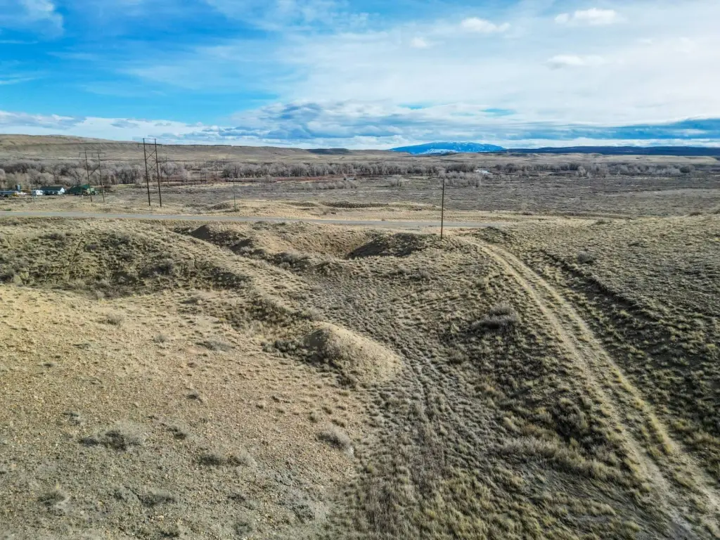
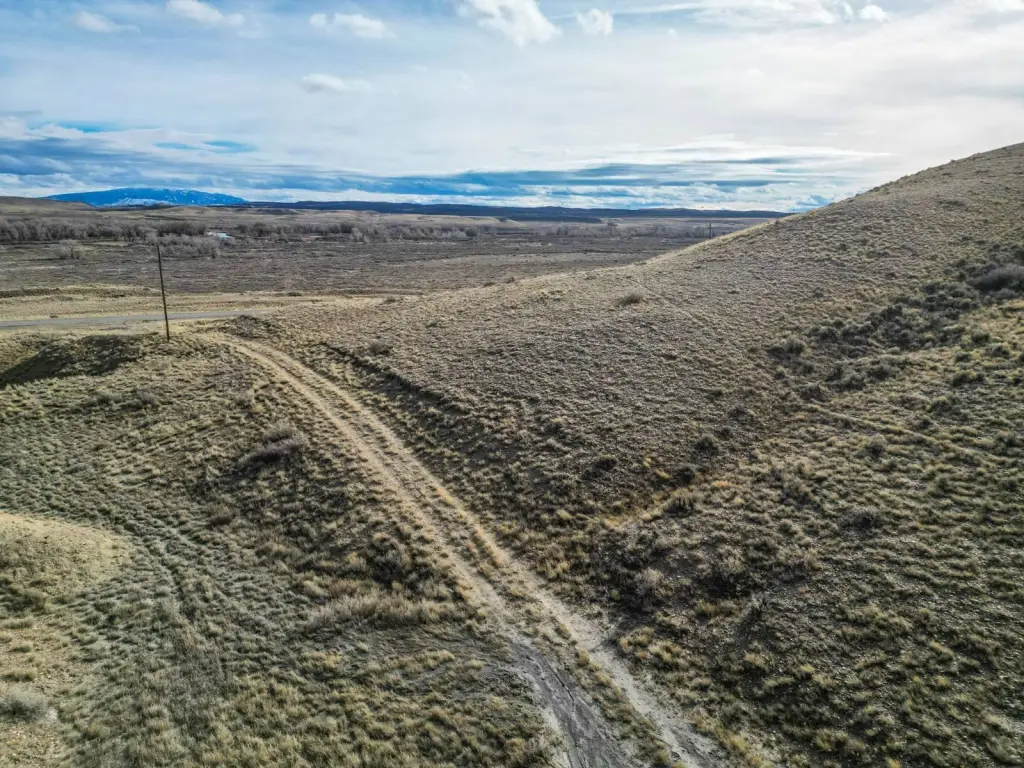
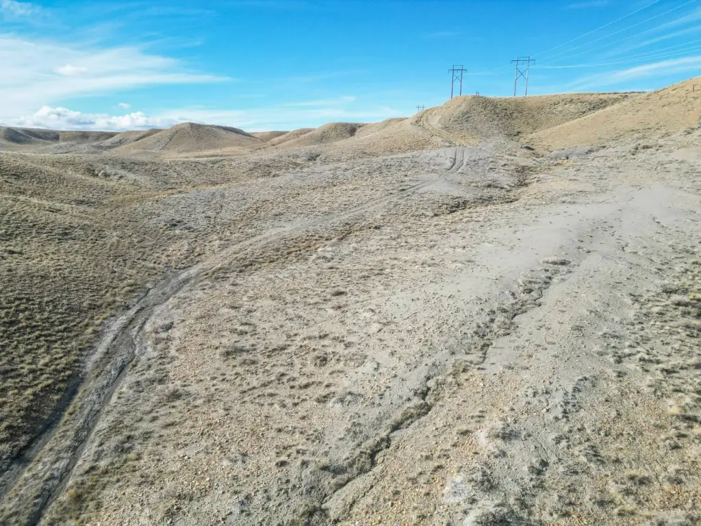
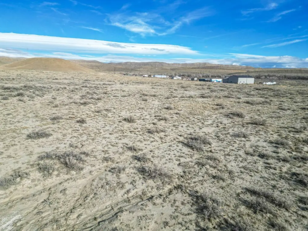
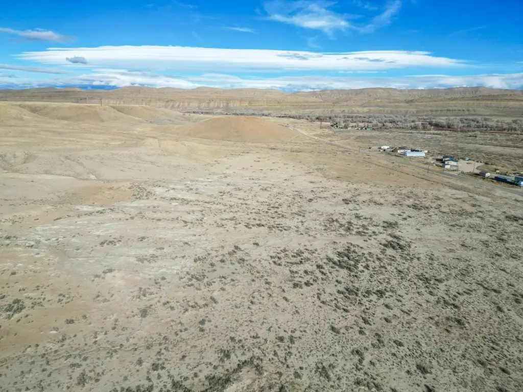
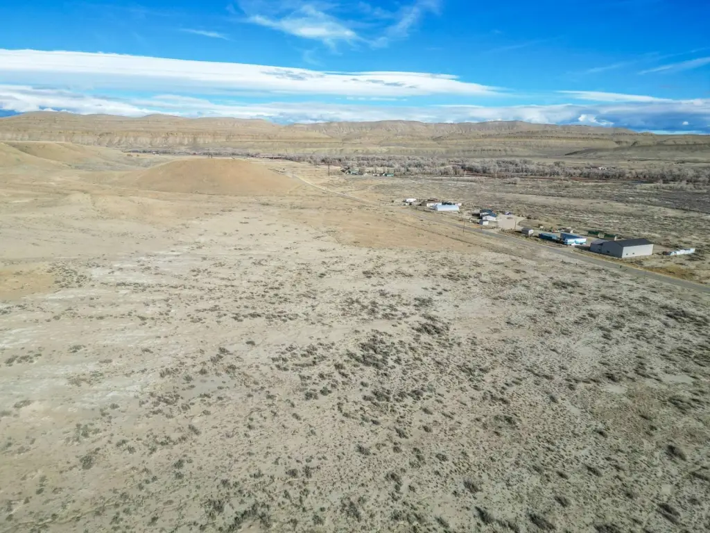
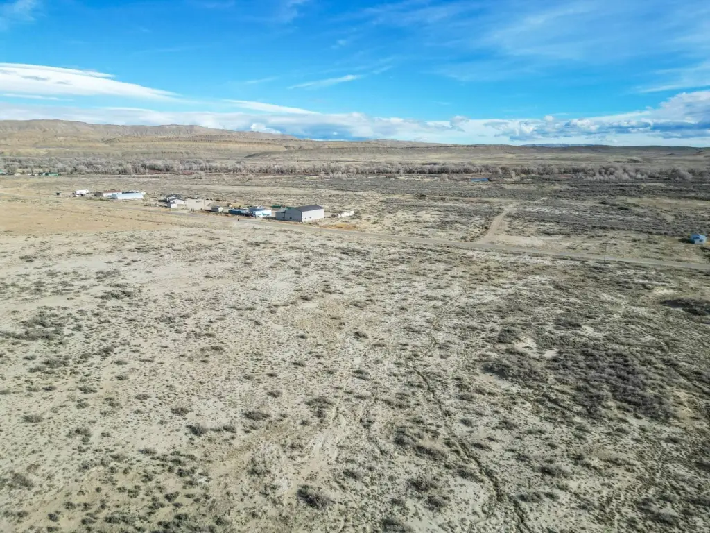
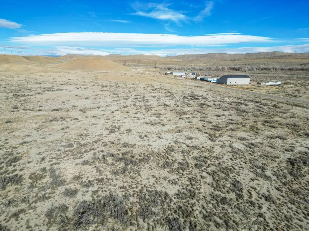
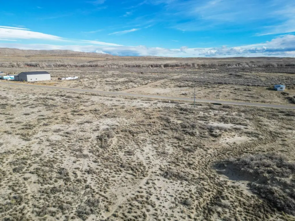
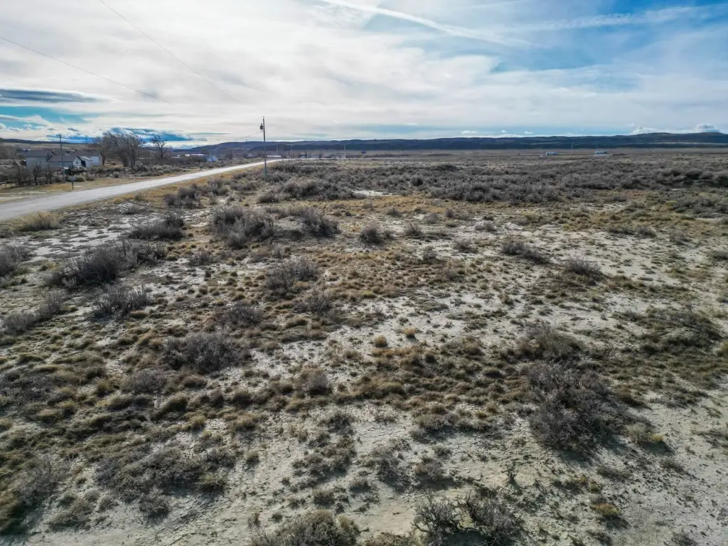
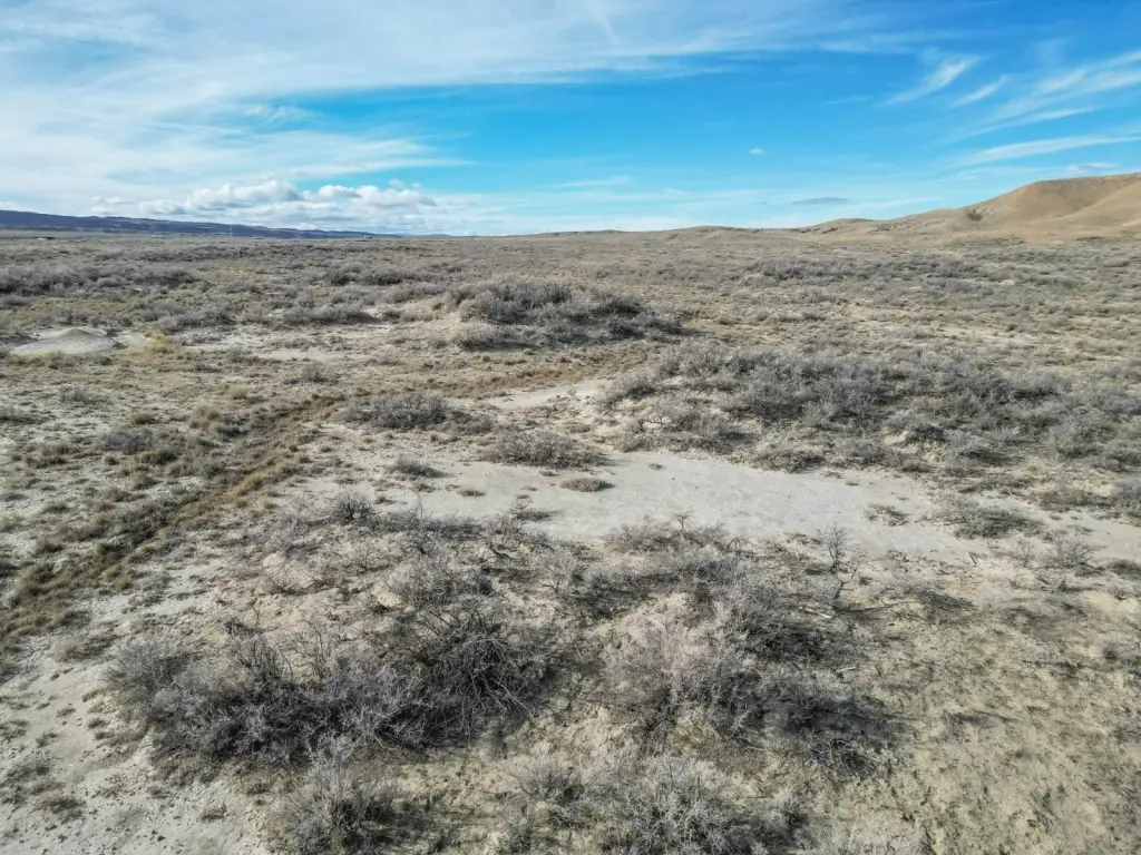
- 155.46 acres of land near historic Fort Steele, Wyoming.
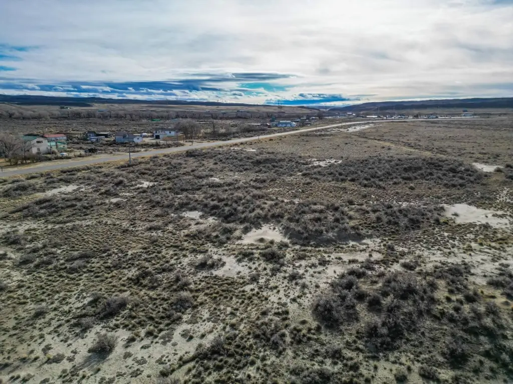
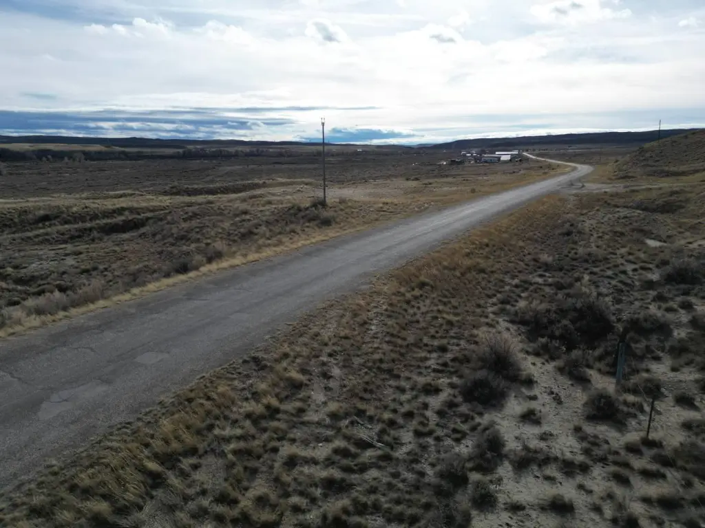
- Direct access via County Road 347 and proximity to Interstate 80.
- Borders the historic Fort Steele Historic Site.
- Adjacent to 240 acres of BLM public land for expanded recreation.
- Power lines run along County Road 347, facilitating development.
- Close proximity to the North Platte River - Fort Steele/Rochelle Public Access Area.
Overview
Wyoming Land Near Fort Steele
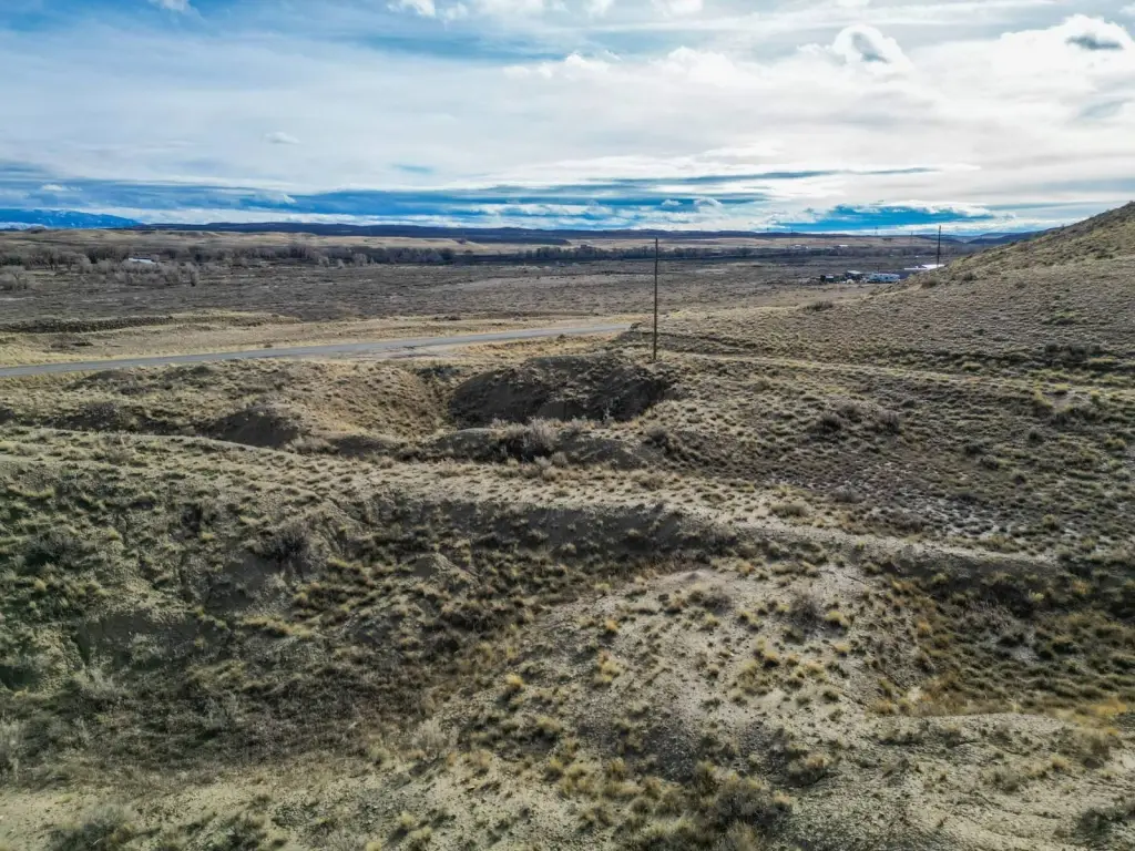
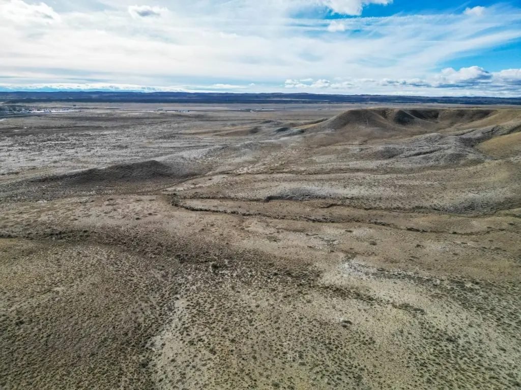
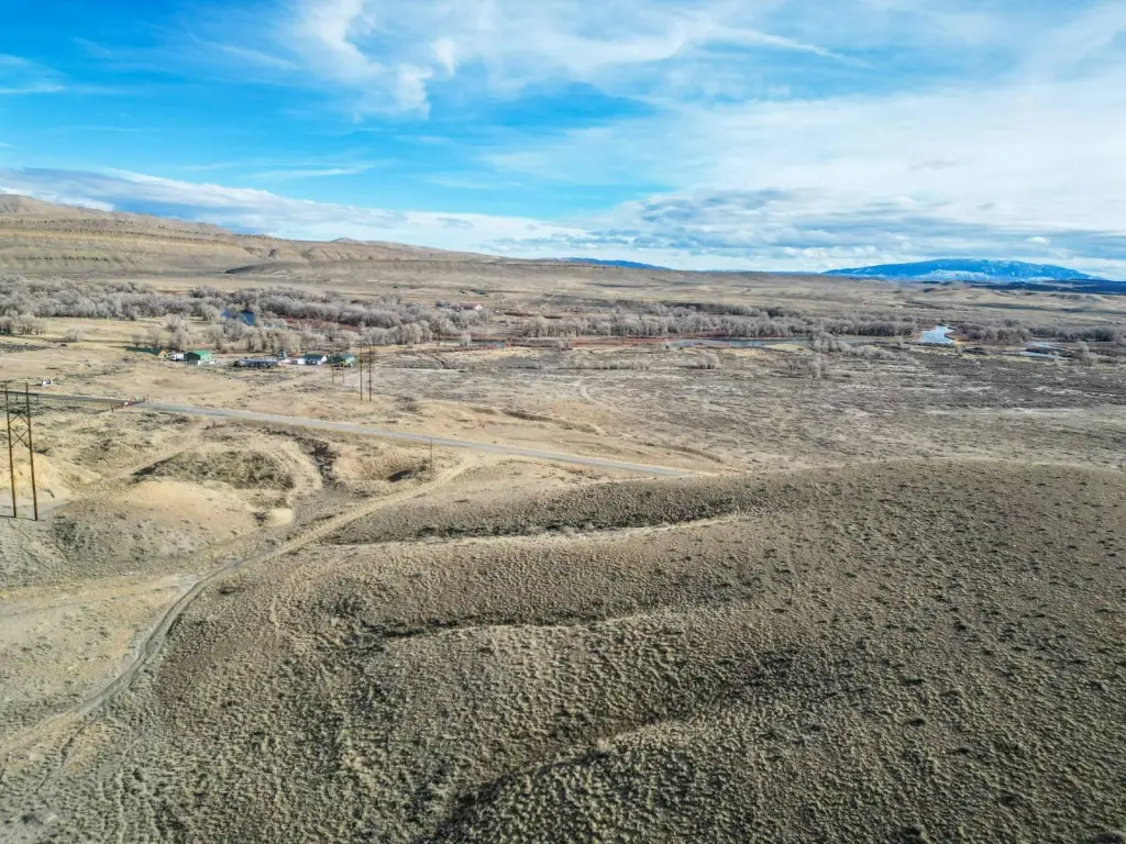
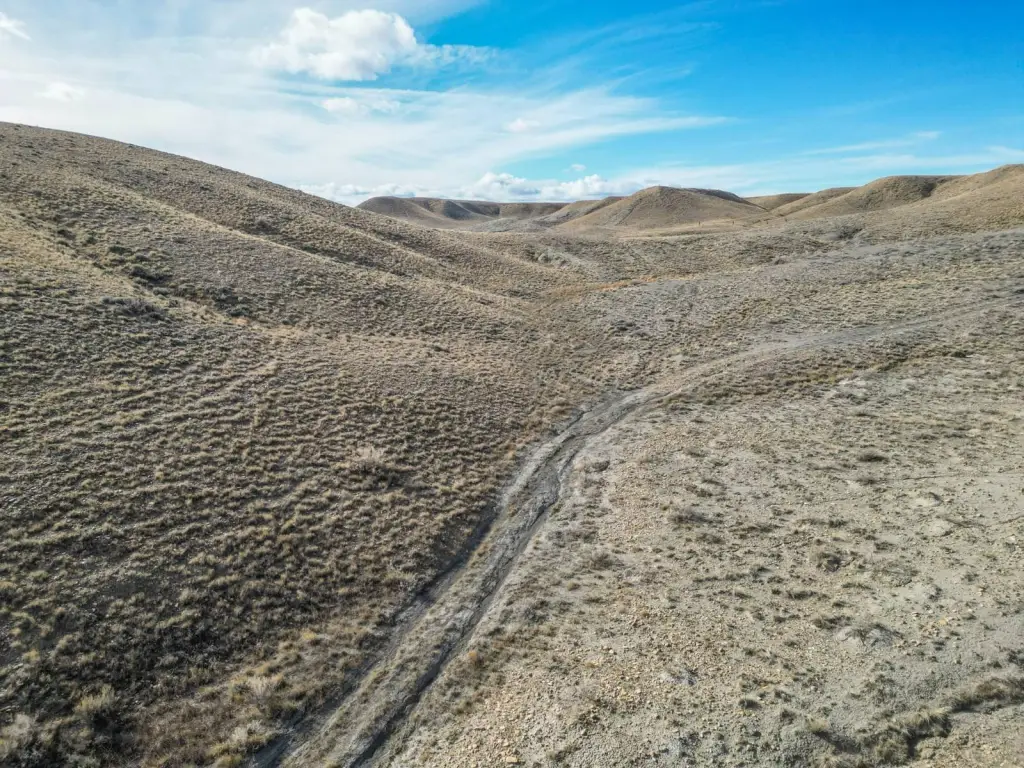
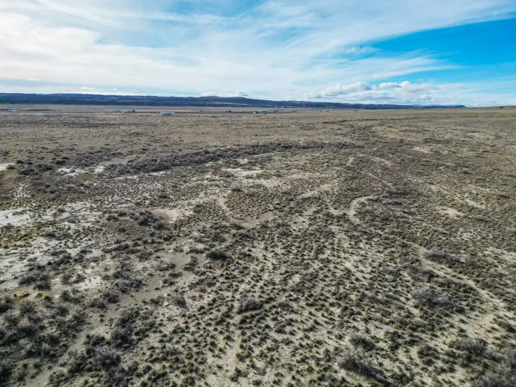
Located in Carbon County, this 155.46-acre property offers a canvas for rural living, recreation, or investment. Situated just half a mile from Interstate 80, the property provides convenient highway access while maintaining a rural setting. County Road 347 runs directly through the property from north to south, ensuring year-round accessibility. The location is near Fort Steele, with Sinclair 10 minutes away and Rawlins a 20-minute drive. The property borders the historic Fort Steele Historic Site along its northern boundary and has views of the North Platte River valley and the surrounding high plains landscape. Bordering 240 acres of BLM public land along the western boundary, recreational opportunities extend beyond the property lines. The North Platte River - Fort Steele/Rochelle Public Access Area is located across the highway, providing access to fishing, wildlife viewing, and outdoor recreation. Power lines run along County Road 347. The property is an exceptional homestead opportunity. The buildings visible in photographs and video are not included with this property. A recently completed survey is available upon request.
Property Profile
Insight Report
Location Intelligence
Current Use by Public Records
Land
Map
- City
- Fort Steele
- County
- Fremont
- State
- Wyoming
- Longitude
- -107.372
- Latitude
- 41.7532
FAQs
What type of property is this?
Land - 155+ acre Wyoming land opportunity near historic Fort Steele.
Where is this land located?
The property is located at TBD County Road 347 Fort Steele, WY.
What is the asking price?
The asking price for this property is $248,800.
What are key features of this property?
This property features: 155.46 acres of land near historic Fort Steele, Wyoming.; Direct access via County Road 347 and proximity to Interstate 80.; Borders the historic Fort Steele Historic Site.


