SUNSET LANE lot 14, Sylacauga, AL 35151


- Added:
- Feb 19, 2026
- Days on Market:
- 106
- Last Refresh:
- Jun 5 at 4:06 pm
Property Features for SUNSET LANE lot 14
General Information
- Property type
- Land
- Property subtype
- Other
- Zoning
- Residential
- Standard status
- Active
- APN
- 3203050000017013
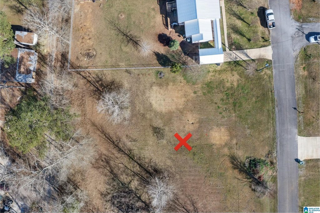
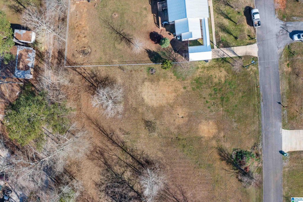
- Lot size
- 0.51 Acres
Taxes and HOA fees
- Tax Description
- 110' X 200' IRR LOT 14 SUNSET ESTATES SECTOR ONE & & RESUB OF LOTS 1,2,& 3 J O EDWARDS ESTATES SLIDE 242 PG 329 SEC 5 T22S R2E
Utilities
- Water source
- Public
Listing agent Jake Corley (205) 514-7792
Listing office Keller Williams Metro South 224 1st Street N Ste 225, Alabaster, AL (205) 605-1000
Listing date Feb 19, 2026
Copyright © 2026 Greater Alabama MLS. All rights reserved. All information provided by the listing agent/broker is deemed reliable but is not guaranteed and should be independently verified.
HighLights
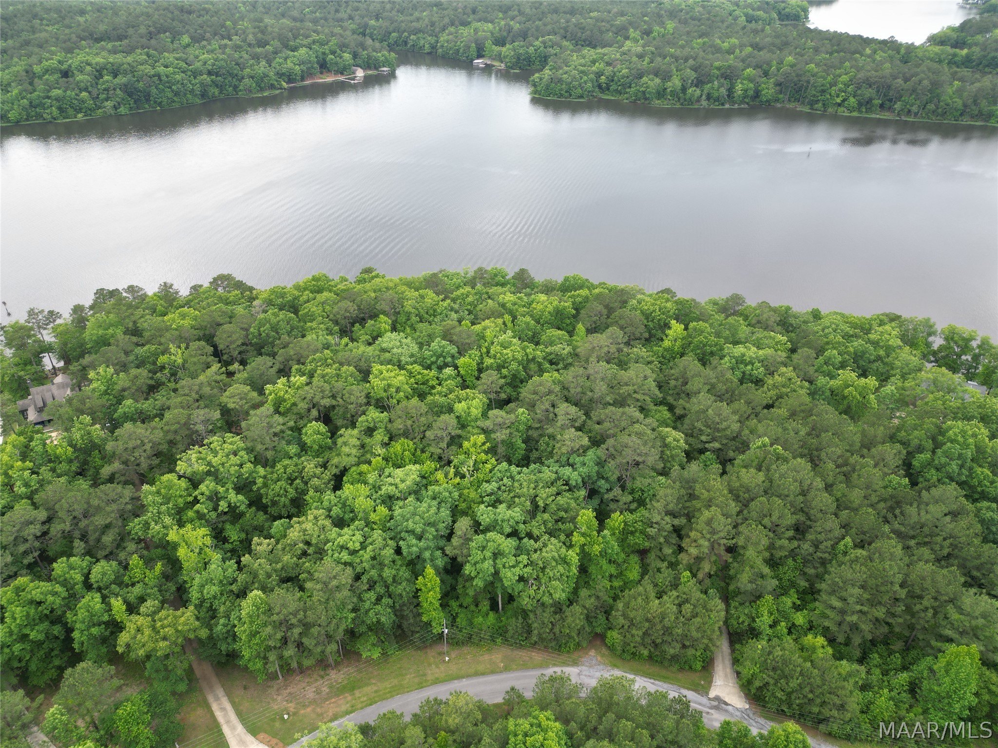
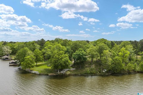
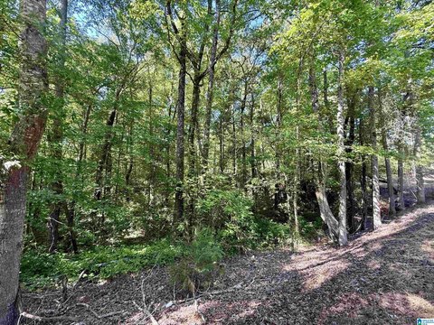
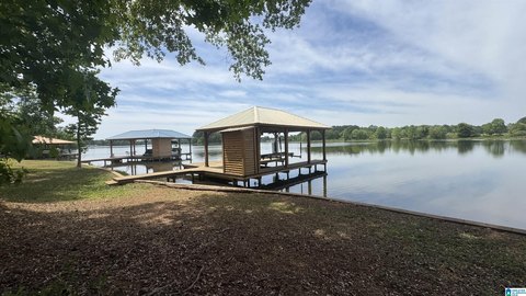
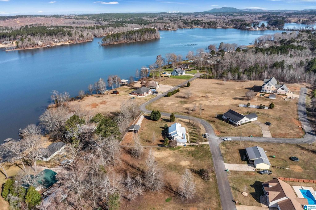
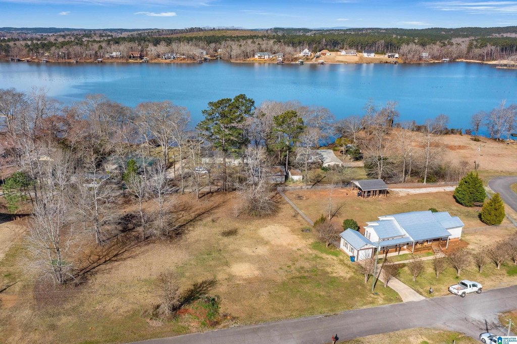
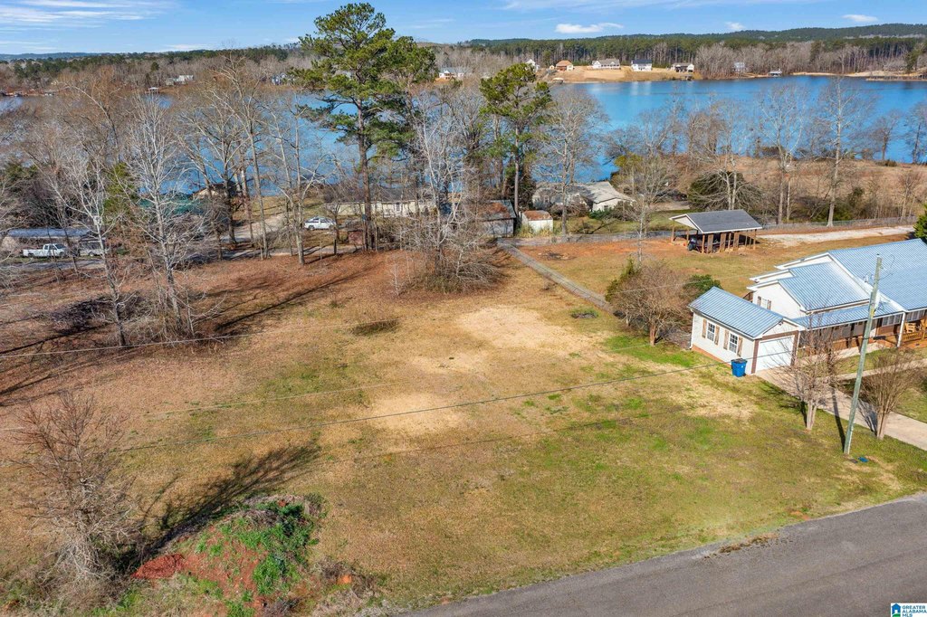
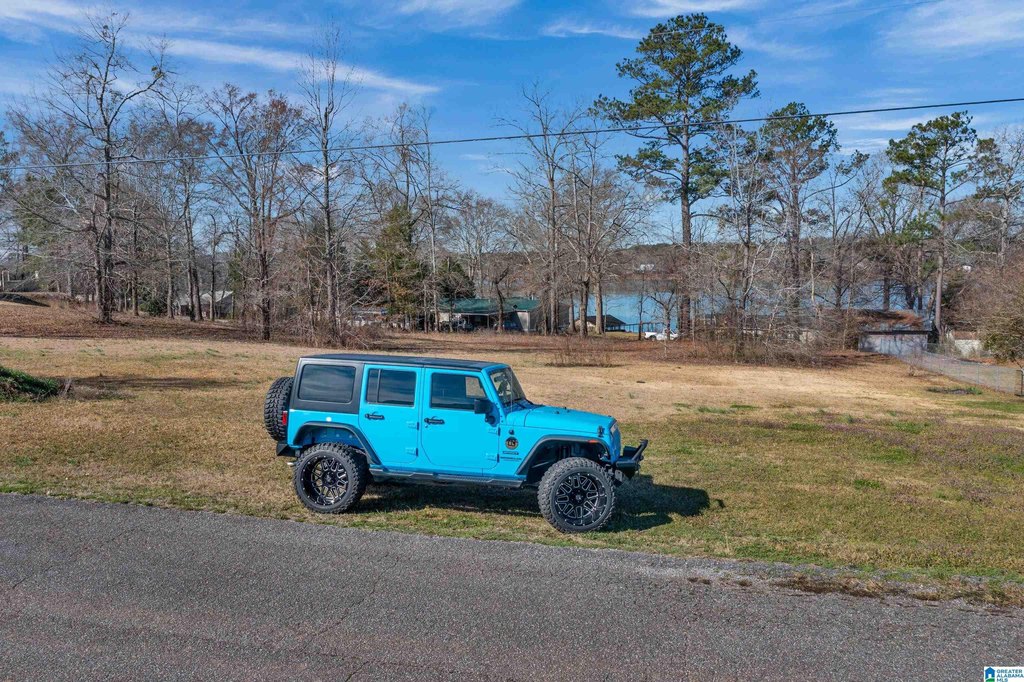
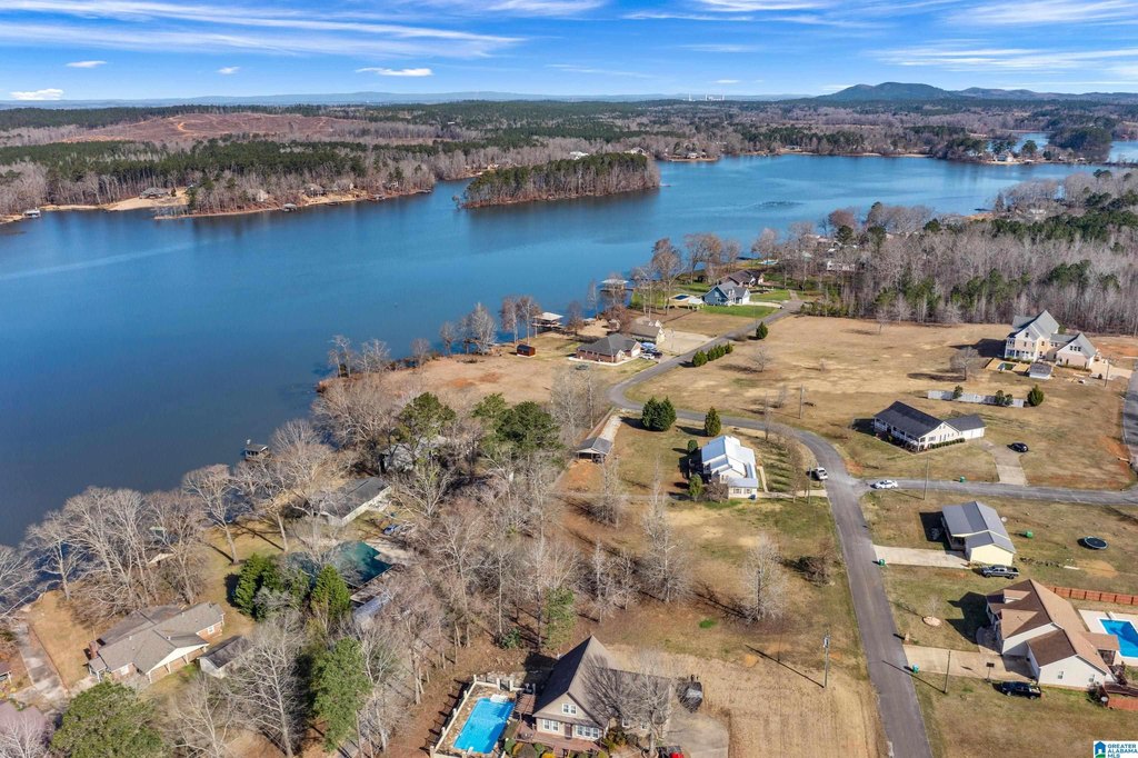
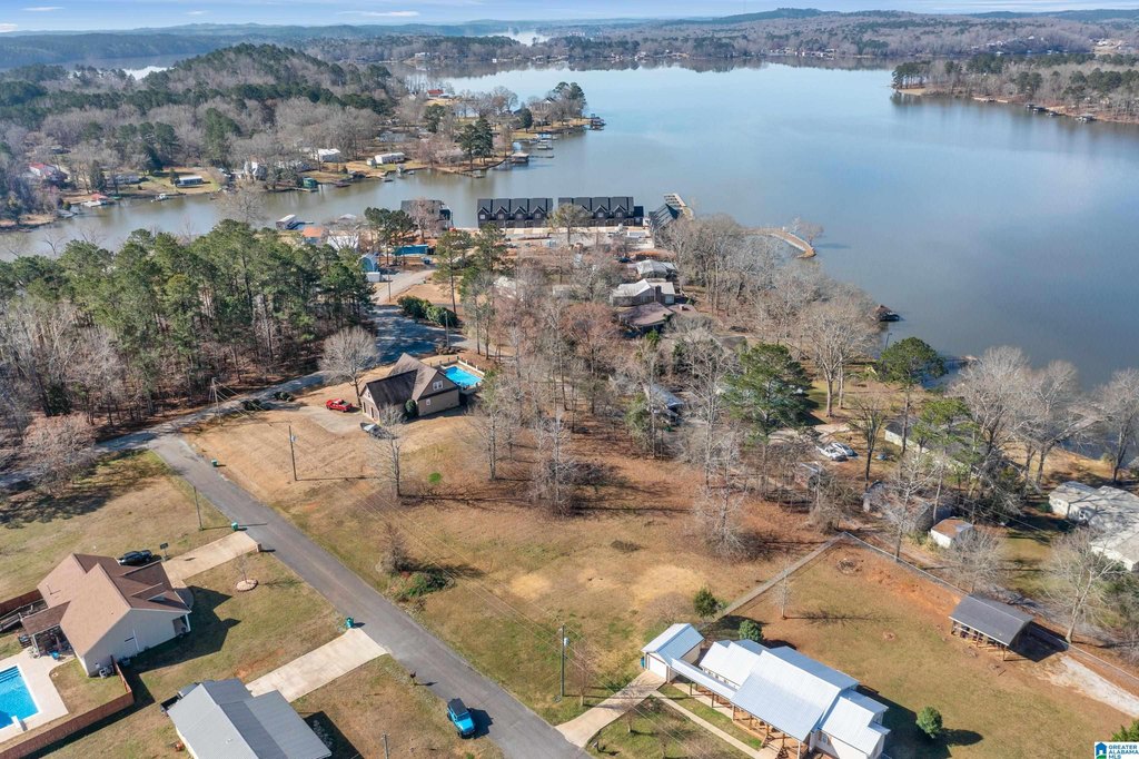
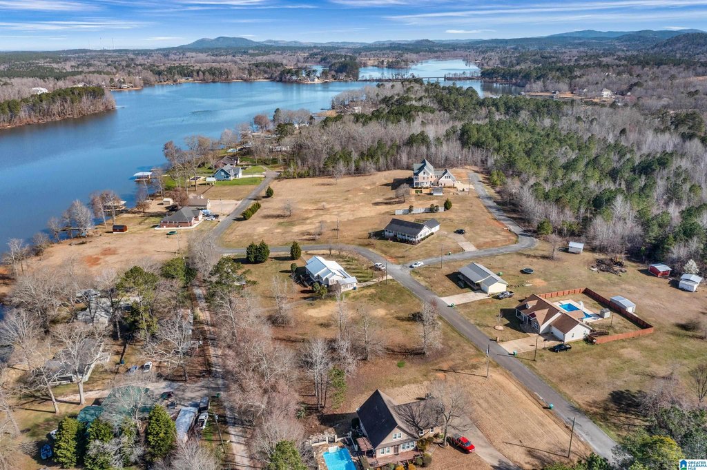
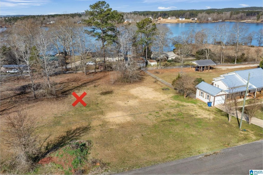
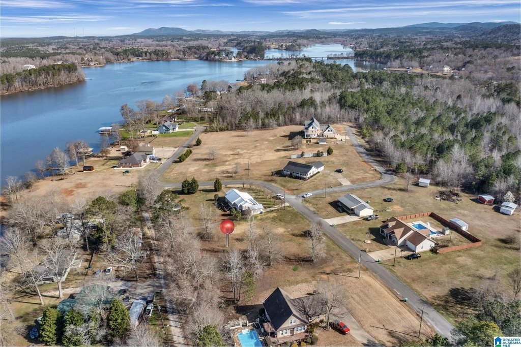
- Level 0.51+/- acre homesite in Lay Lake’s Cedar Creek community, designed for easy building.
- Public water available at the property.
- Water access is a 1–2 minute drive to a public marina and boat launch.
- Located within the Fayetteville School District.
- Minutes from Pursell Farms, offering championship golf and fine dining.
Overview
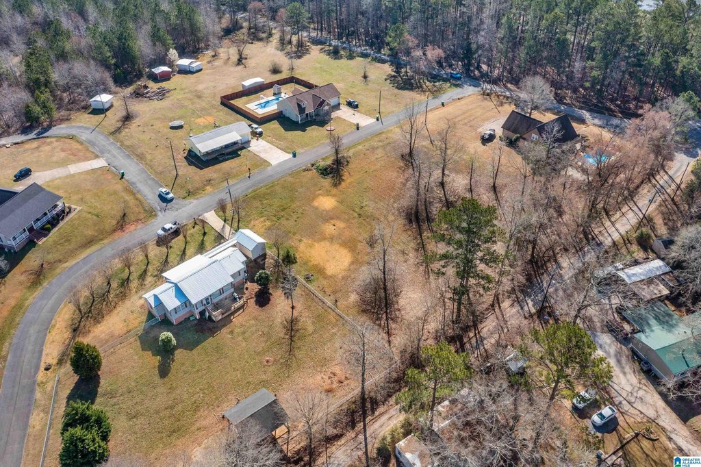
The property is positioned in the Lay Lake area, specifically noted as being within Cedar Creek. The remarks indicate water access via a public marina and boat launch that is about a 1–2 minute drive away. The surrounding lifestyle is further supported by the proximity to Pursell Farms, which is referenced for amenities including championship golf and fine dining. The community is stated to be served by the Fayetteville School District.
For buyers looking for a straightforward, buildable residential parcel near Lay Lake, this site offers a compact homesite footprint with the convenience of nearby public access for boating. The zoning is designated as Residential, aligning with single-family development plans based on the use described in the listing. If you’re working with a builder, the lot’s level condition is intended to reduce early site-prep friction as you move from planning to construction.
Current Use by Public Records
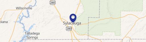
Map
- City
- Sylacauga
- County
- Talladega
- State
- Alabama
- Longitude
- -86.453744
- Latitude
- 33.1437