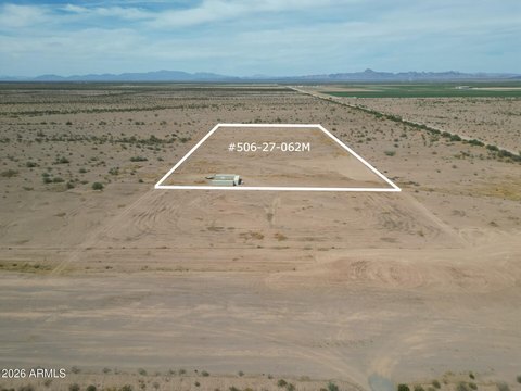
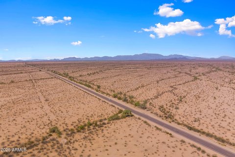
XXXB S 542nd Avenue, Tonopah, AZ 85354
- Added:
- Oct 25, 2025
- Days on Market:
- 258
- Last Refresh:
- Jul 9 at 5:06 pm
Property Features for XXXB S 542nd Avenue
General Information
- Property type
- Land
- Property subtype
- Other
- Zoning
- R-43
- Standard status
- Active
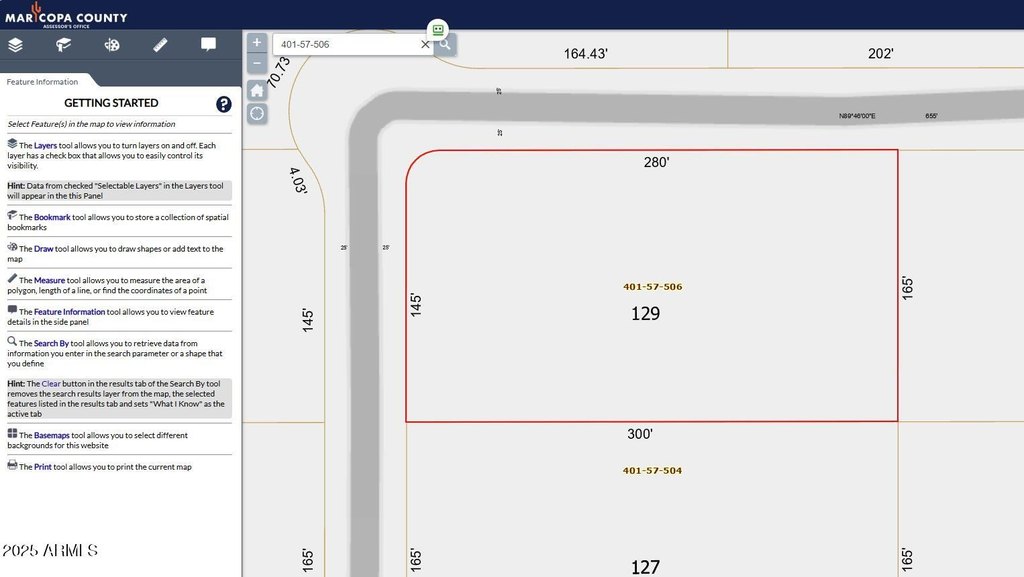
- APN
- 401-57-506
- Lot size
- 1.14 Acres
Taxes and HOA fees
- Tax Year
- 2024
- Tax Description
- LOT 129 HARQUAHALA RANCHES UNIT 2 MCR 013333
- Tax Annual Amount
- 80
Utilities
- Water source
- Private

Listing agent Sally Liddicoat License #BR637950000 (623) 278-7084
Listing office ProSmart Realty 4147 E Baseline Rd, Gilbert, AZ (480) 540-2213
Listing date Oct 25, 2025
Copyright © 2026 Arizona Regional Multiple Listing Service, Inc. All rights reserved. All information provided by the listing agent/broker is deemed reliable but is not guaranteed and should be independently verified.
HighLights
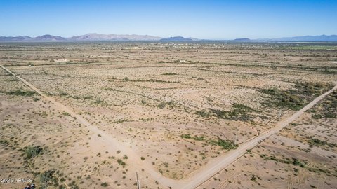
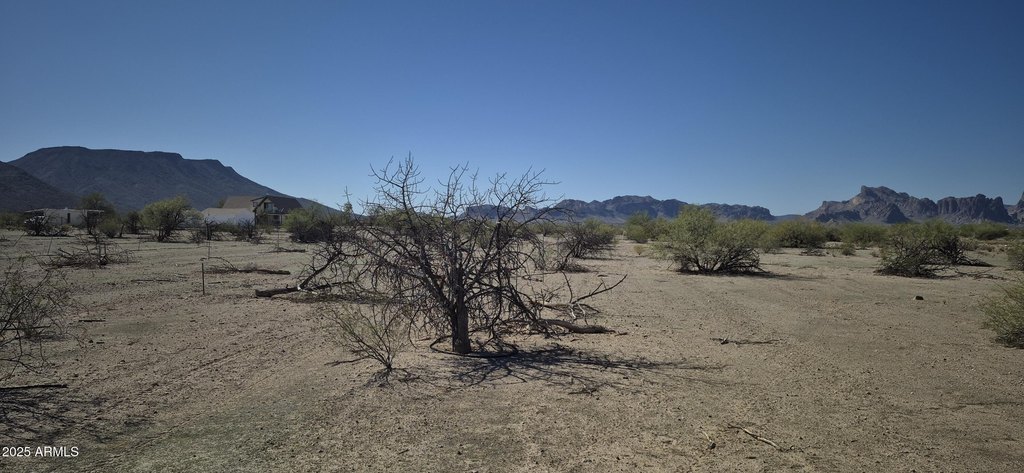
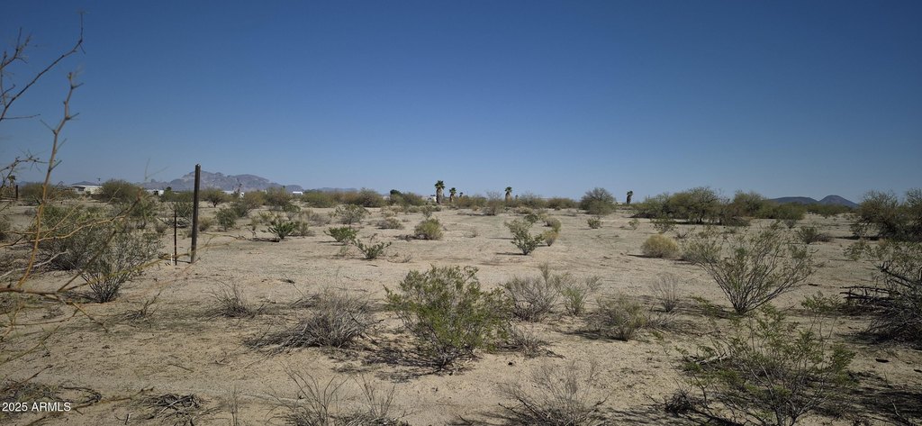
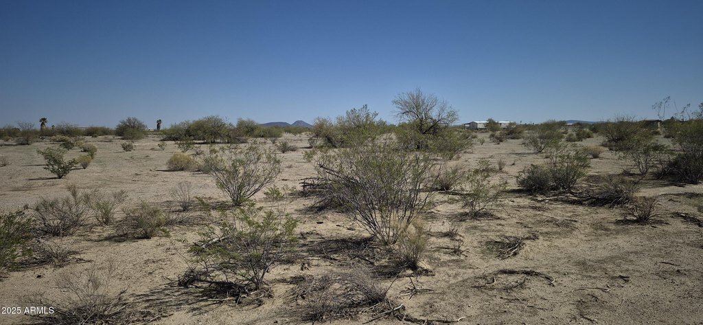
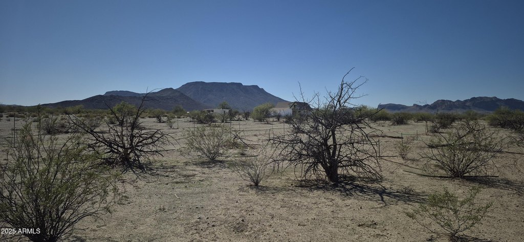
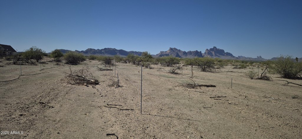
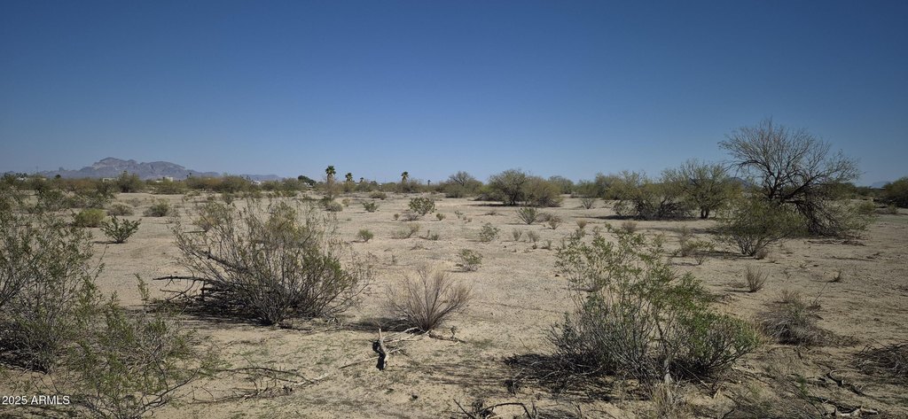
- 1.14‑acre lot offers ample space and privacy.
- Stunning mountain views provide a scenic backdrop.
- APS power available on the property.
- Private water company service ensures water access.
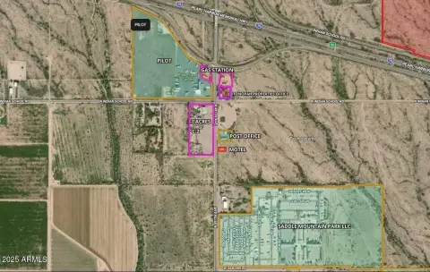
- Located in the tranquil Harquahala Ranches community.
- Ideal for those seeking country living in the Arizona desert.
Overview
Current Use by Public Records
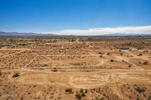
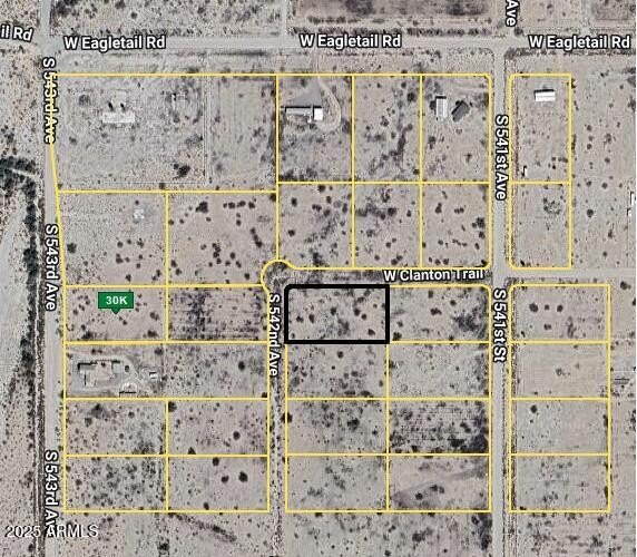
Map
- City
- Tonopah
- County
- Maricopa
- State
- Arizona
- Longitude
- -113.218749
- Latitude
- 33.360794