560 Acres Mini-Ranch Land,
TBD County RD 497, Rawlins, WY 82301
- Added:
- Oct 18, 2025
- Days on Market:
- 219
- Last Refresh:
- May 24 at 6:06 pm
Property Features for TBD County RD 497
General Information
- Property type
- Land
- Property subtype
- Other
- Zoning
- 900
- Parking features
- Garage
- Standard status
- Active
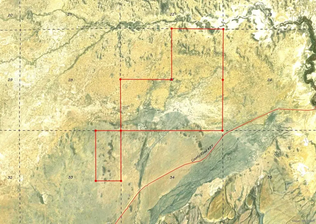
- Lot size
- 560.00 Acres
Taxes and HOA fees
- Tax Annual Amount
- 0
Building Details
- Architectural style
- Other
Listing agent James Warta (307) 757-7200
Listing office Endpoint Realty 514 Grand #400, Laramie, WY (208) 284-1782
Listing date Oct 18, 2025
MLS# 11624026
Listing URL
Copyright © 2026 My State MLS. All rights reserved. All information provided by the listing agent/broker is deemed reliable but is not guaranteed and should be independently verified.
HighLights
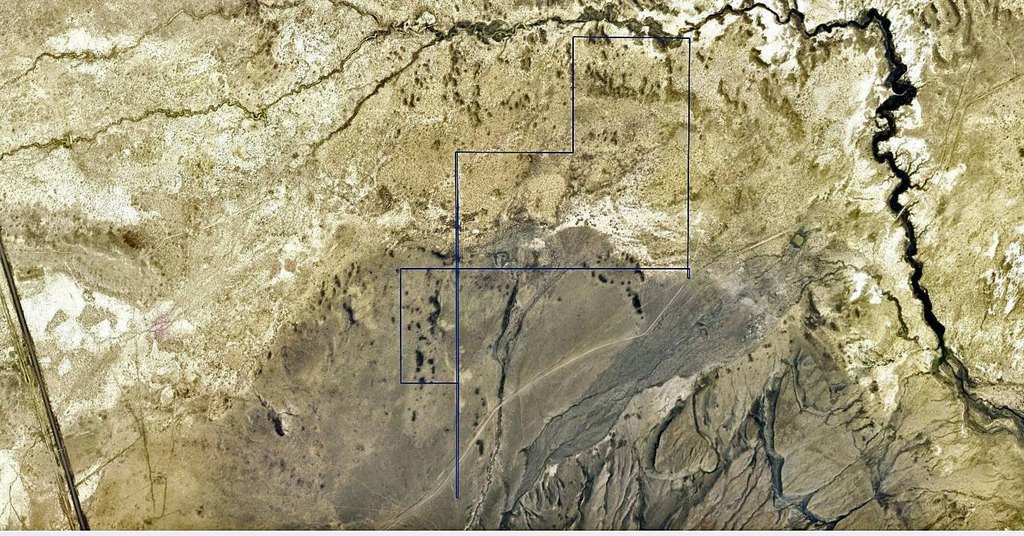
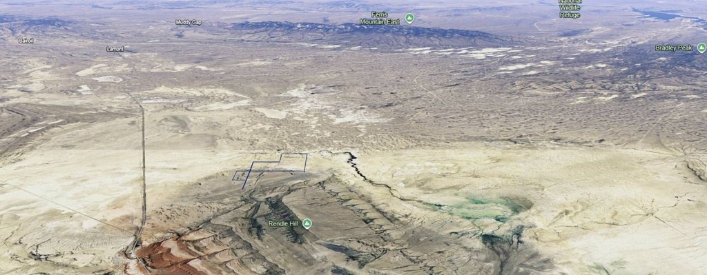
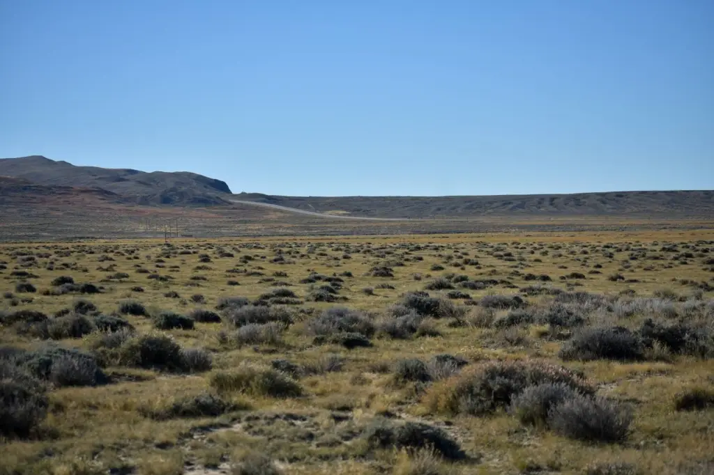
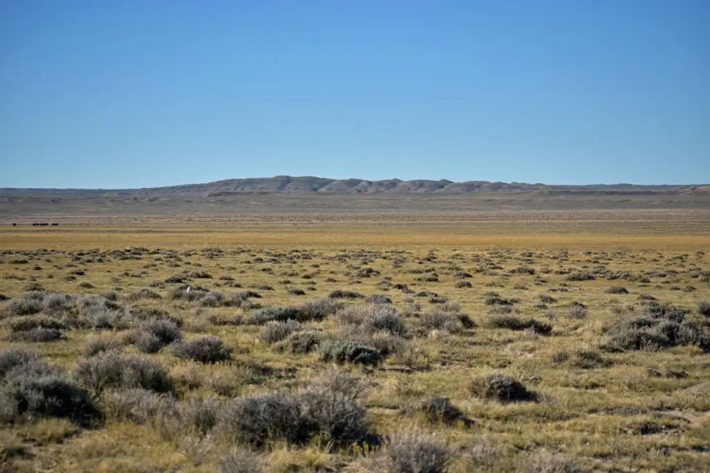
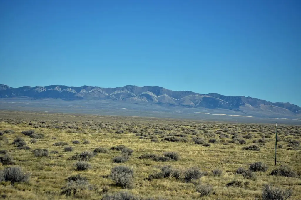
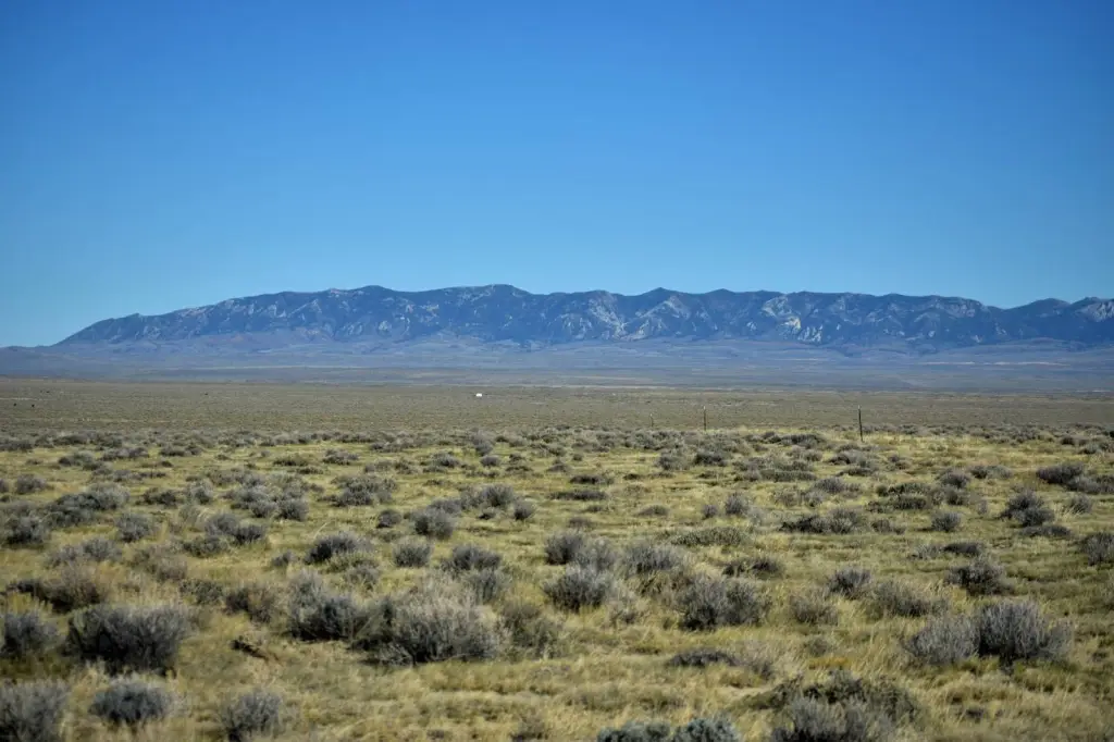
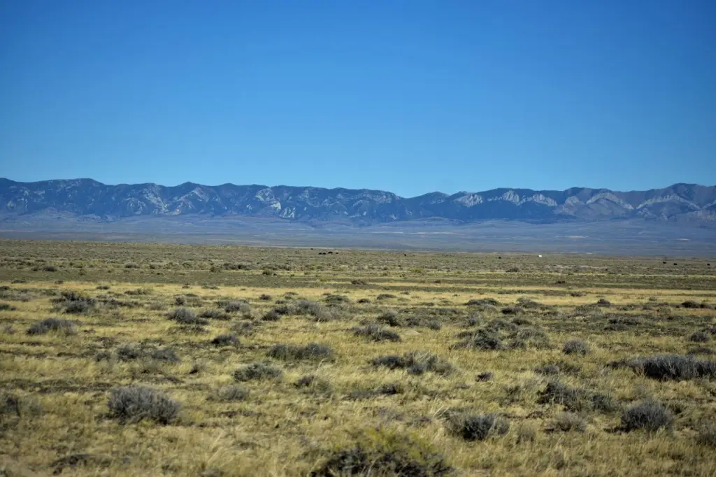
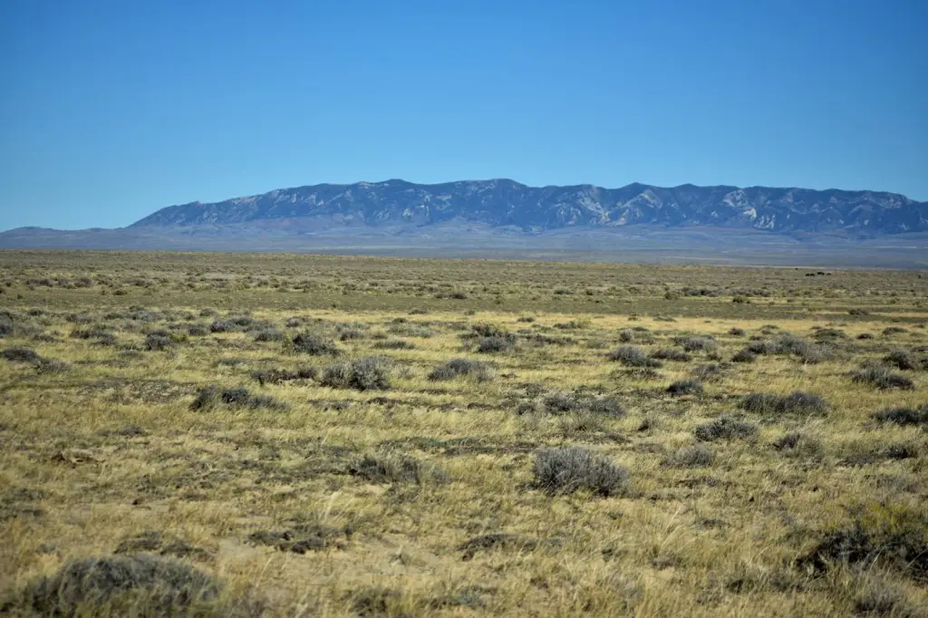
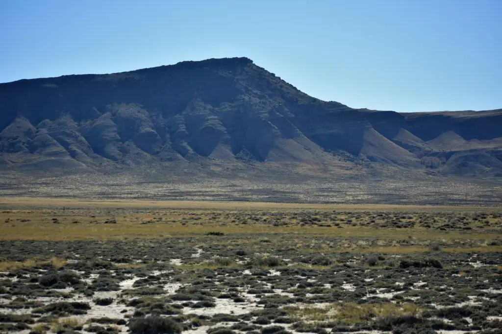
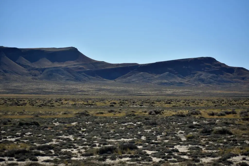
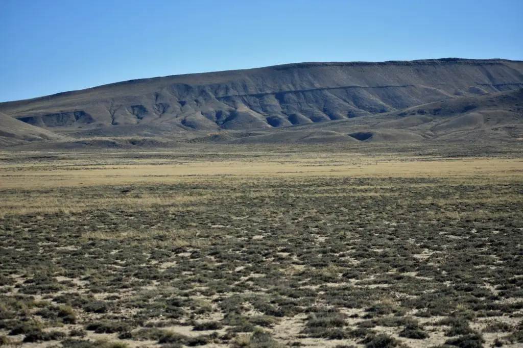
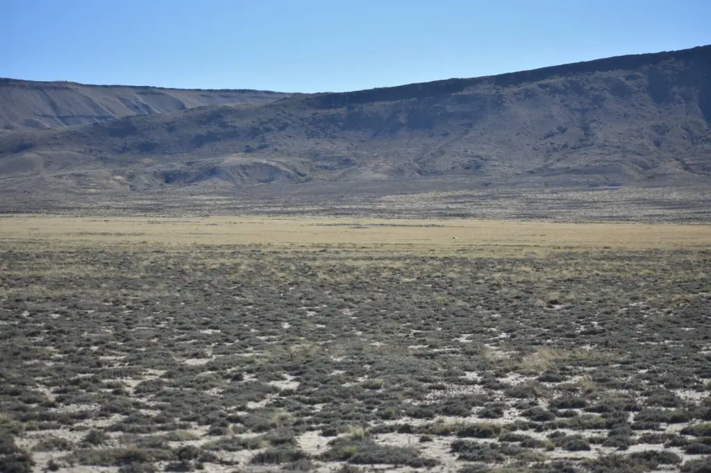
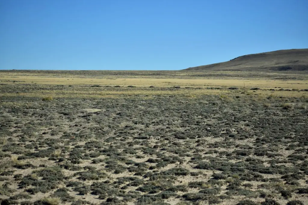
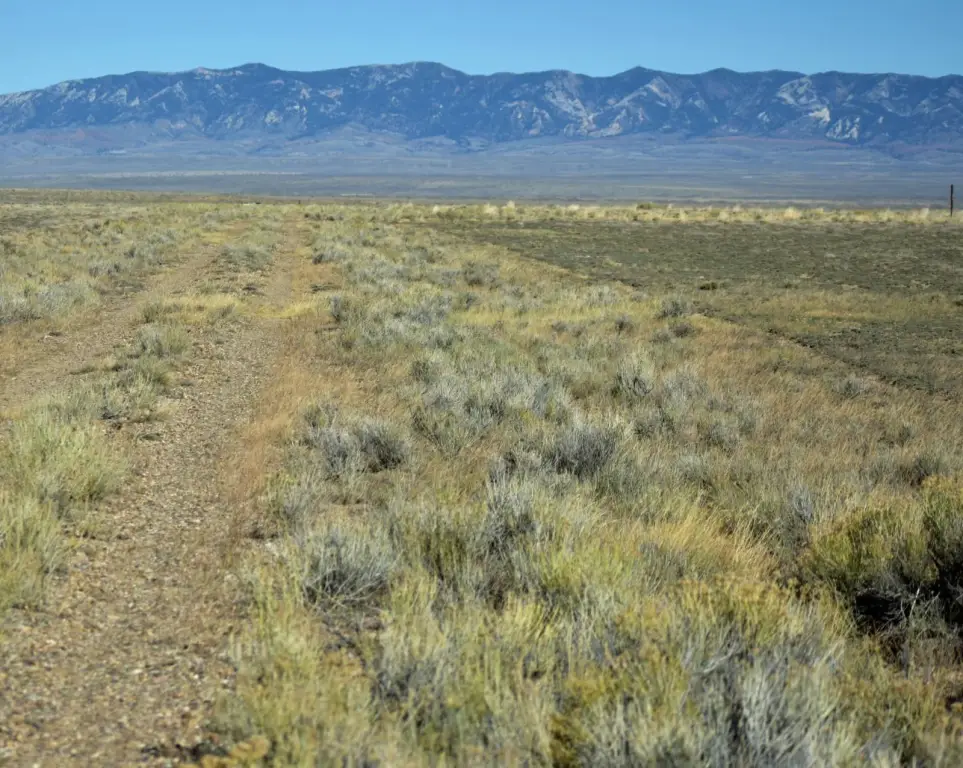
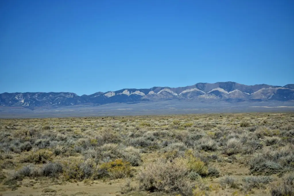
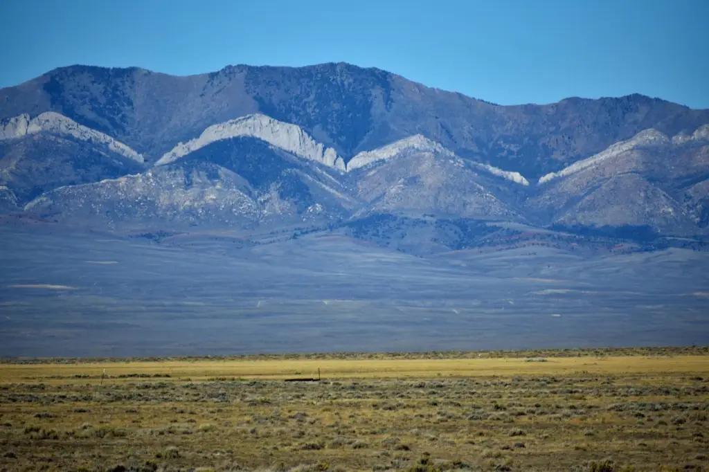
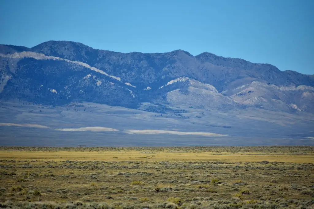
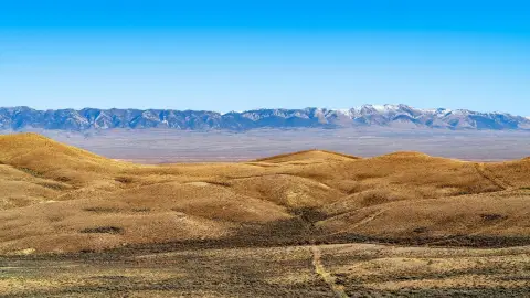
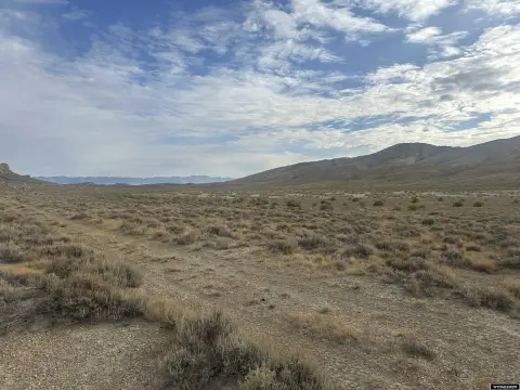
- Over 560 acres for a mini‑ranch with views of Rendle Hill, Green Mountain, Whiskey Peak, and the Ferris Mountains.
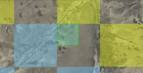
- Borders BLM land, potentially available to lease for recreation or agriculture.
- Eligible for landowner hunting tags (Elk Zone 111 and Deer Zone 87) with Wyoming Game and Fish approval.
- Adjacent to The Ferris Mountains Wilderness Study Area (WSA) offering hiking, hunting, camping, and backpacking.
- Close proximity to Independence Rock National Historic Landmark.
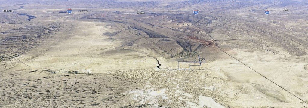
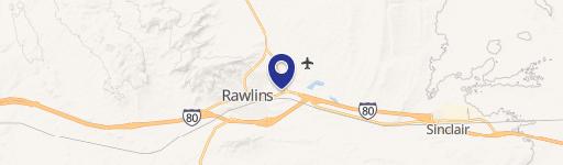
- Easy access 16 miles north of Rawlins, Wyoming, directly off County Rd. 497 connecting to Highway 287.
Overview
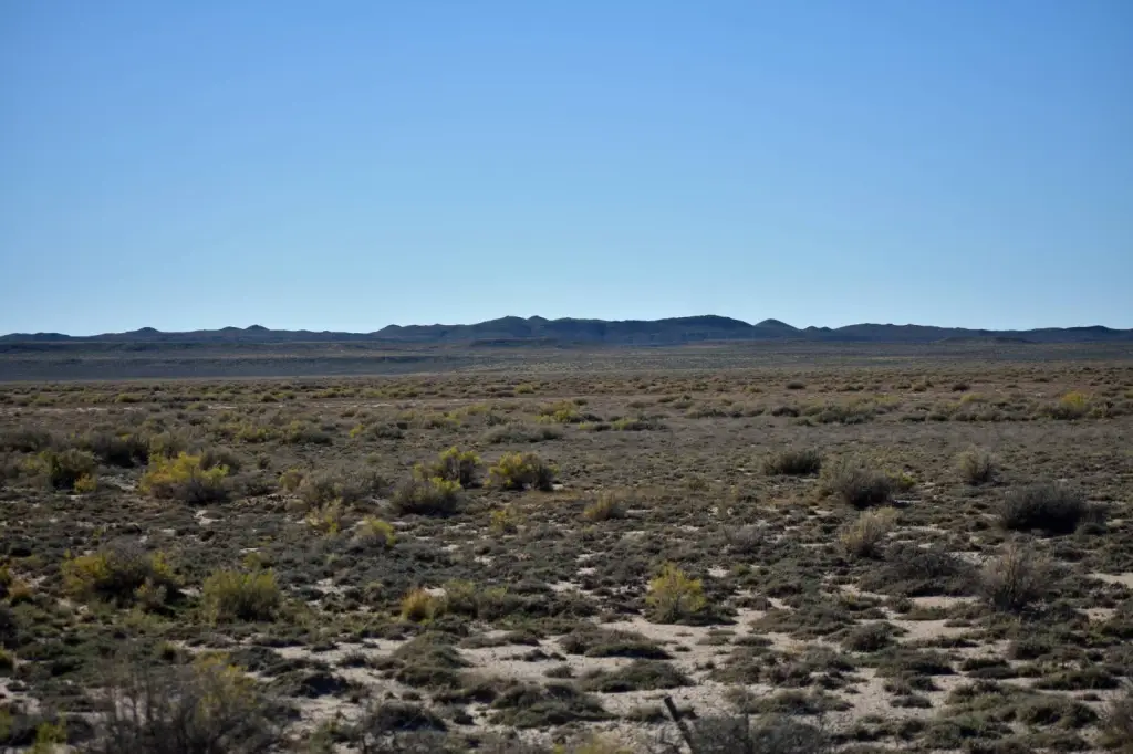
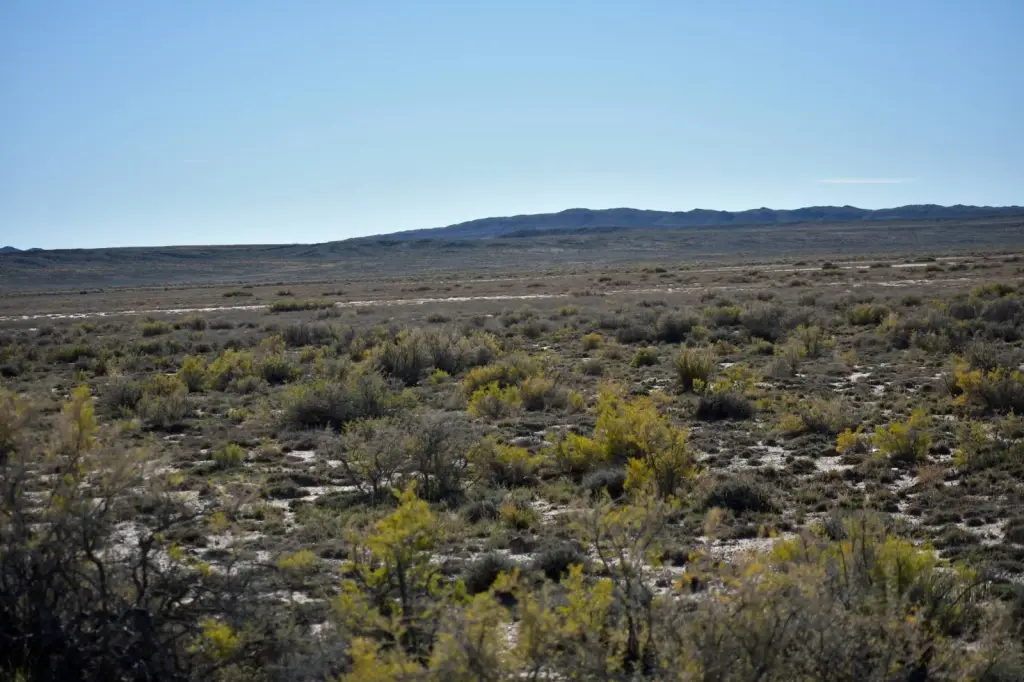
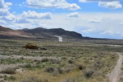
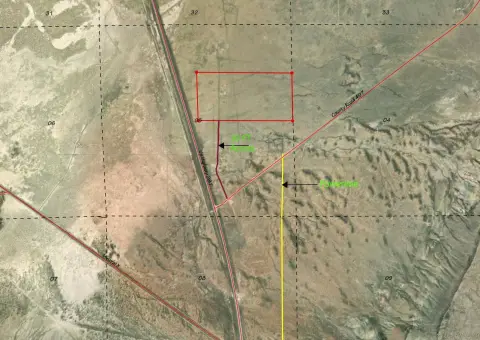
This expansive property offers over 560 acres for a mini-ranch, providing views of Rendle Hill, Green Mountain, Whiskey Peak, and the Ferris Mountains. The Ferris Mountains Wilderness Study Area (WSA) lies to the north, encompassing 22,245 acres of BLM-administered land. The WSA features steep, rugged terrain with Douglas fir stands and grassy parks, offering opportunities for hiking, hunting, camping, and backpacking. Independence Rock, a national historic landmark, is also nearby. BLM land borders the property boundaries, potentially available for lease, offering opportunities for recreation or agricultural uses like grazing. Currently, there are no utilities or fenced borders. The property meets acreage requirements for landowner hunting tags, subject to Wyoming Game and Fish approval for Elk Zone 111 and Deer Zone 87. Resources are available in Rawlins, Wyoming, 16 miles south, with access via County Rd. 497 connecting to Highway 287. Building in Carbon County RAM Zone is primarily for agriculture or mining, subject to restrictions from the Carbon County Zoning office in Rawlins.
Location Intelligence
Current Use by Public Records
Hunting land
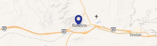
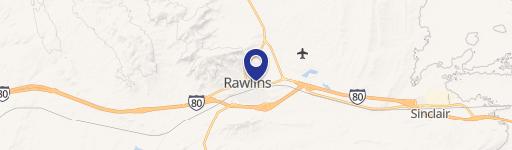
Map
- City
- Rawlins
- County
- Fremont
- State
- Wyoming
- Longitude
- -107.329627
- Latitude
- 42.007196
Nearby Similar for Sale


FAQs
What type of property is this?
Agricultural land / Farmland - 560 acres near Ferris Mountains WSA, ideal for recreation.
Where is this agricultural land / farmland located?
The property is located at TBD County RD 497 Rawlins, WY.
What is the asking price?
The asking price for this property is $355,000.
What are key features of this property?
This property features: Over 560 acres for a mini‑ranch with views of Rendle Hill, Green Mountain, Whiskey Peak, and the Ferris Mountains.; Borders BLM land, potentially available to lease for recreation or agriculture.; Eligible for landowner hunting tags (Elk Zone 111 and Deer Zone 87) with Wyoming Game and Fish approval.


