
Harlan County Republican River Pivot, Oxford, NE 68967

- Added:
- Mar 26, 2026
- Days on Market:
- 100
- Last Refresh:
- Jul 3 at 3:06 pm
Property Features for Harlan County Republican River Pivot
General Information
- Property type
- Land
- Property subtype
- Other
- Standard status
- Active
- Lot size
- 122.00 Acres
Listing agent Jordan Maassen (308) 532-9300
Listing office Lashley Land and Recreational Brokers 2218 E. Walker Road, North Platte, NE (308) 532-9300
Listing date Mar 26, 2026
Copyright © 2026 My State MLS. All rights reserved. All information provided by the listing agent/broker is deemed reliable but is not guaranteed and should be independently verified.
HighLights
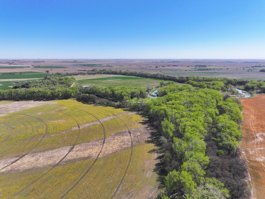
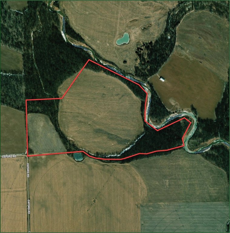
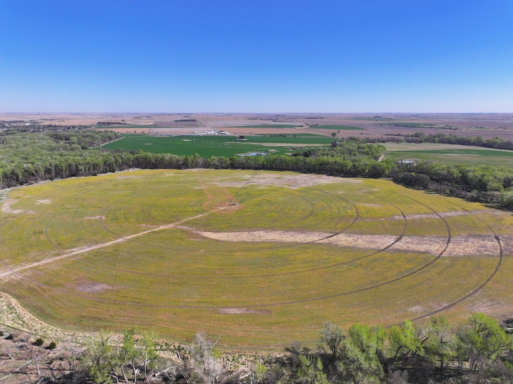
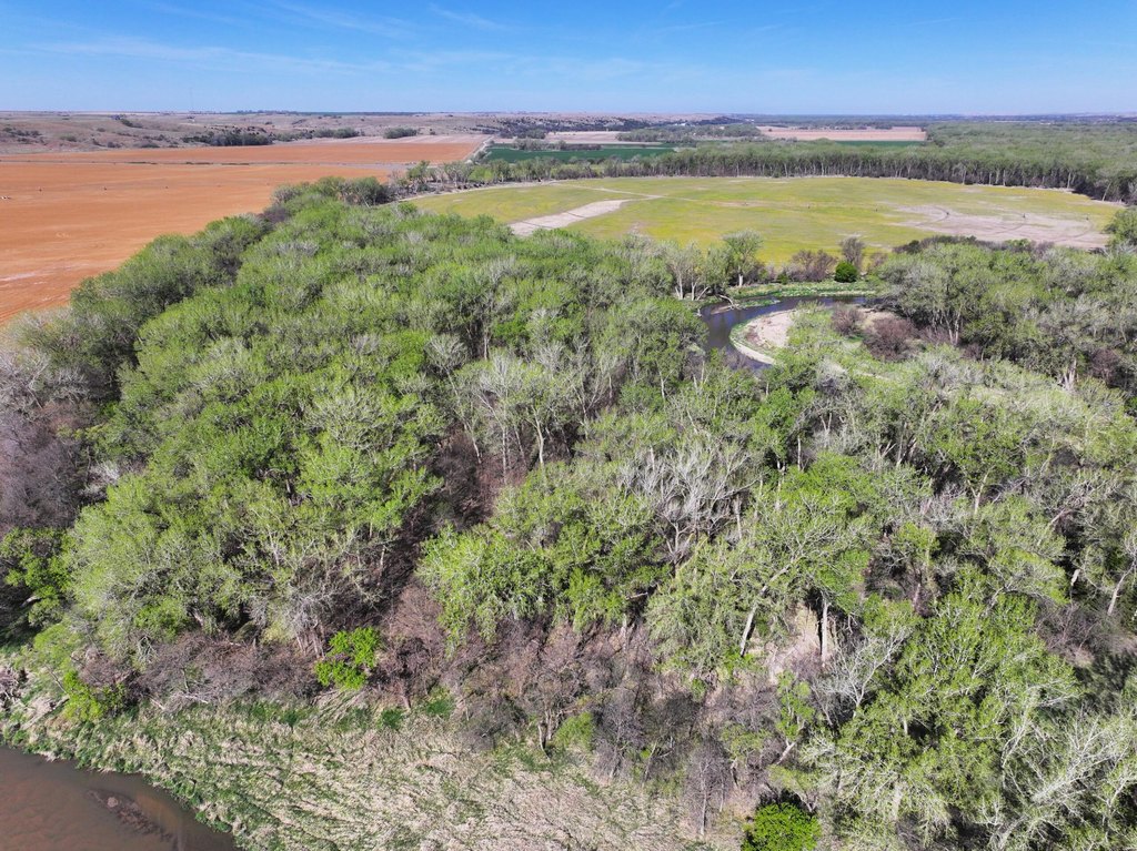
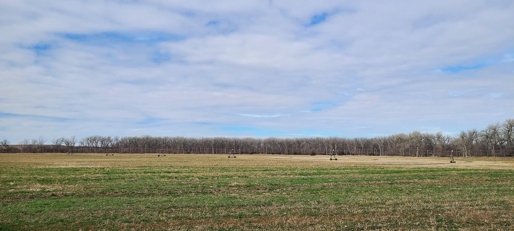
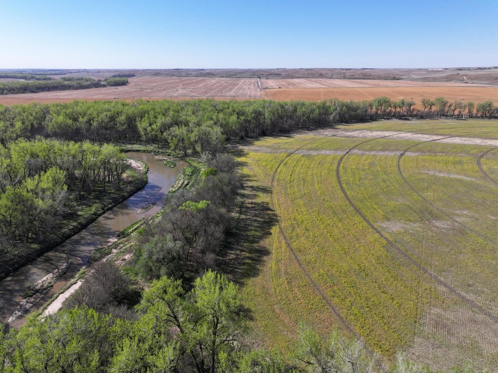
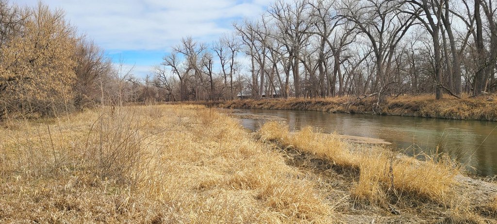
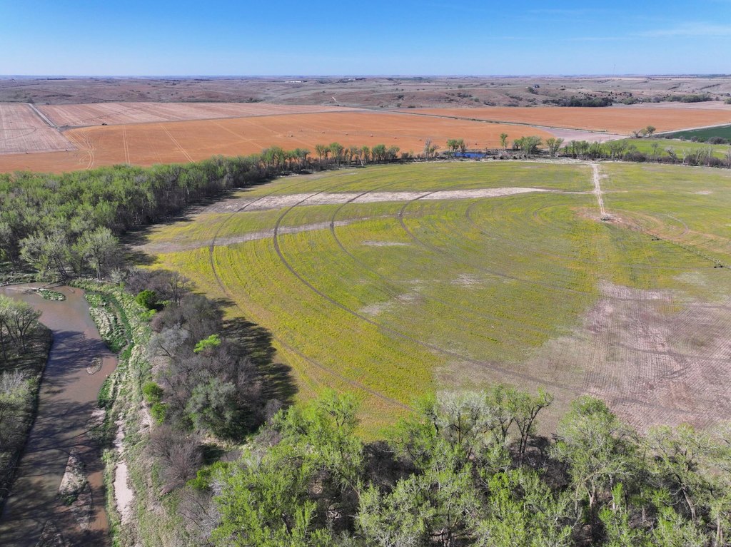
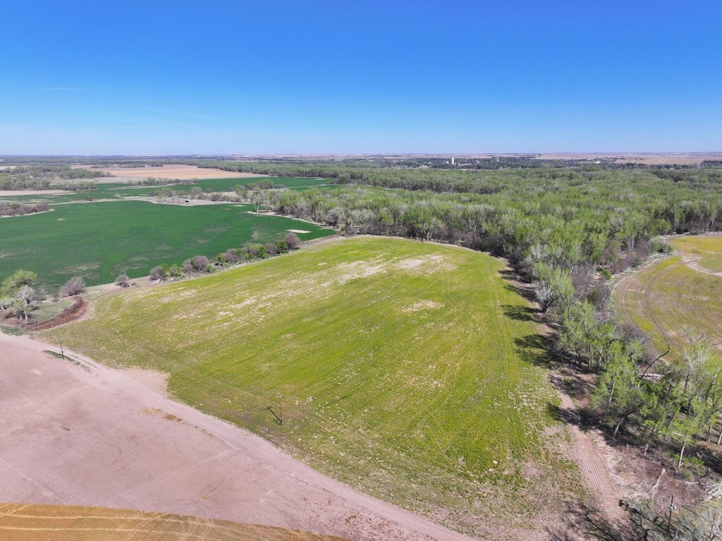
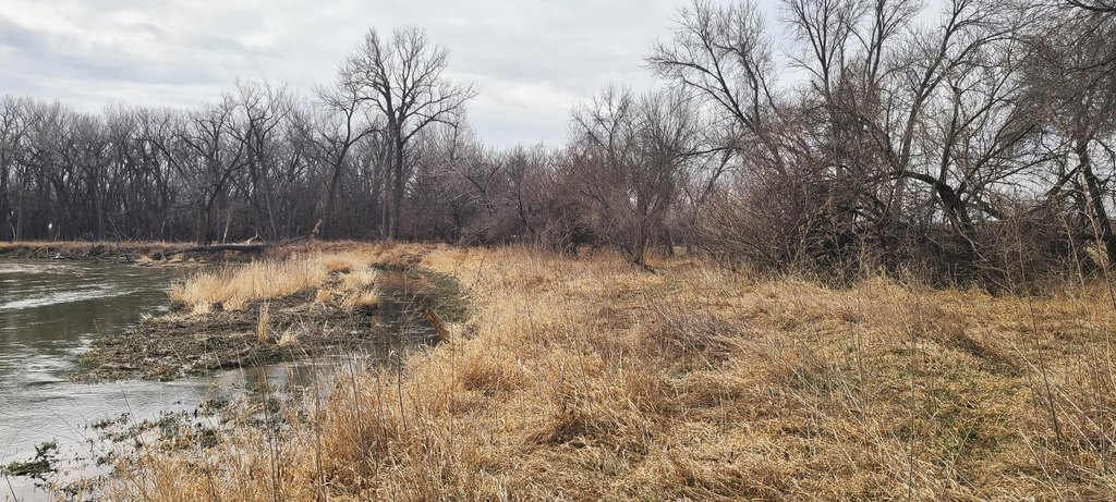
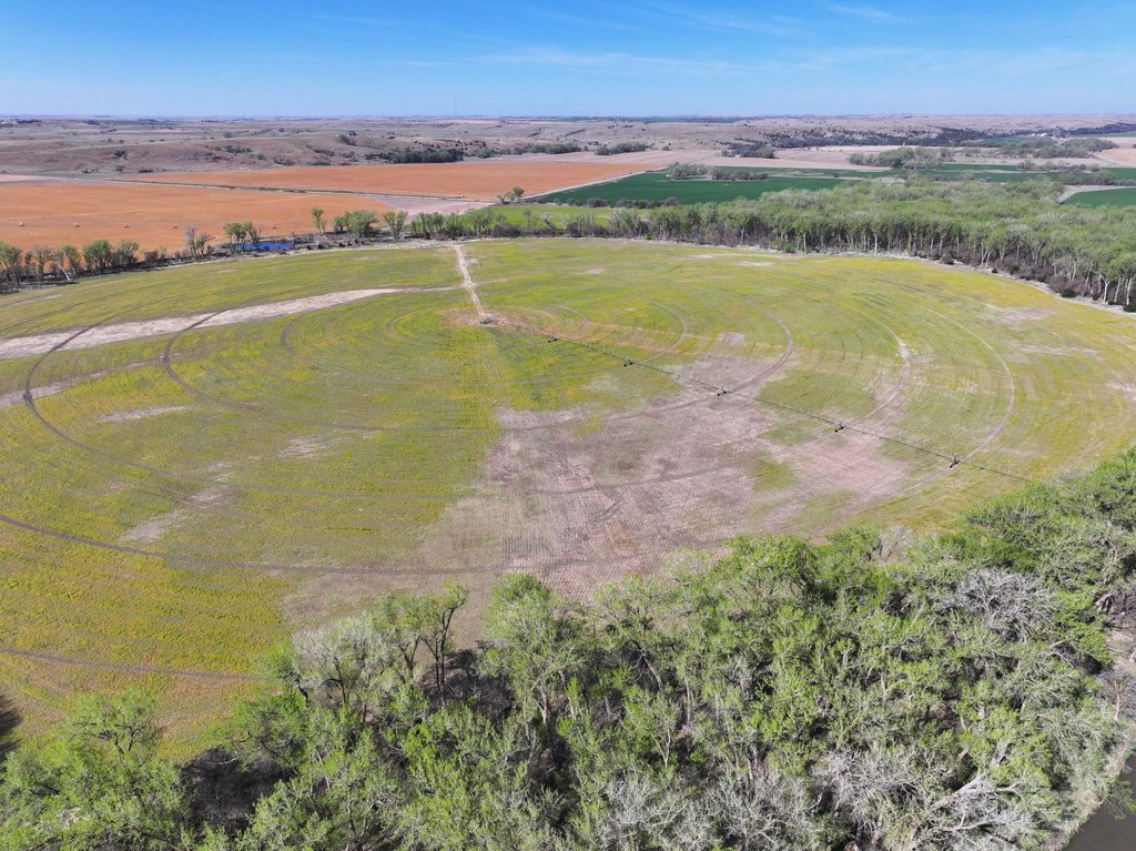
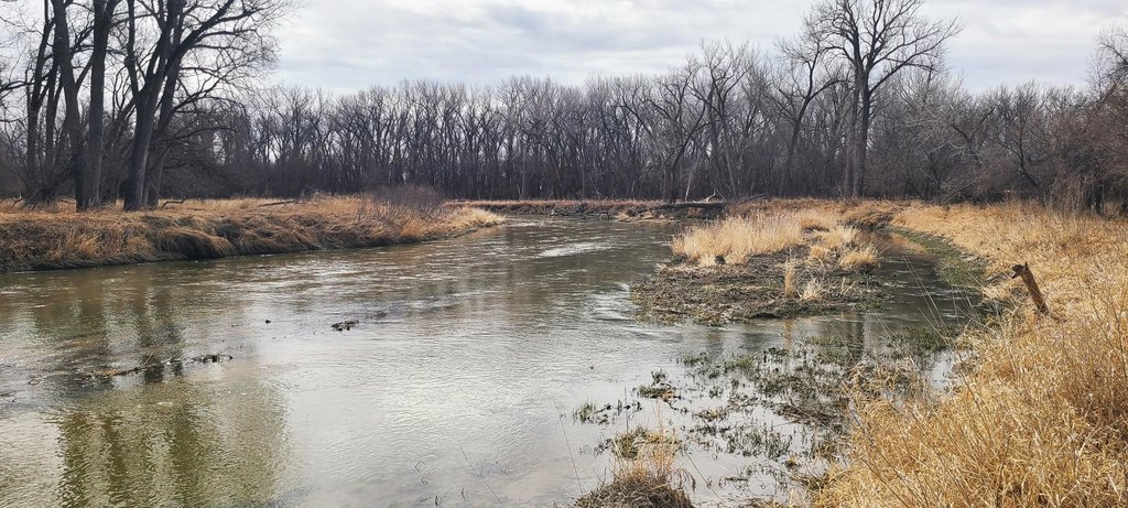
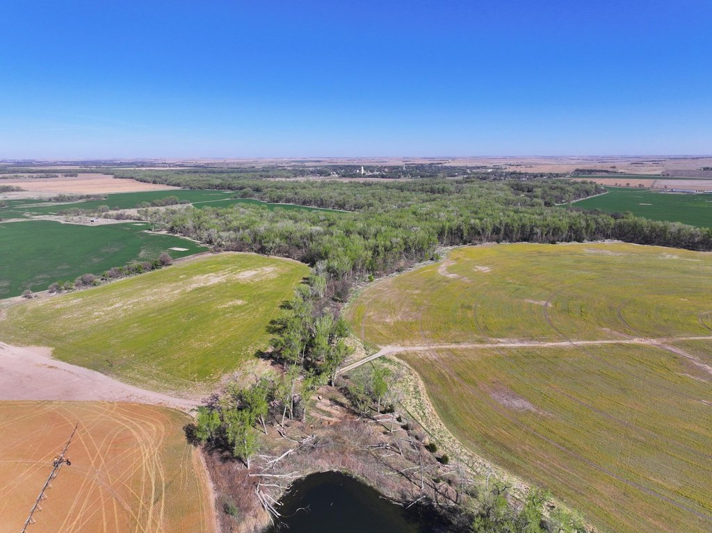
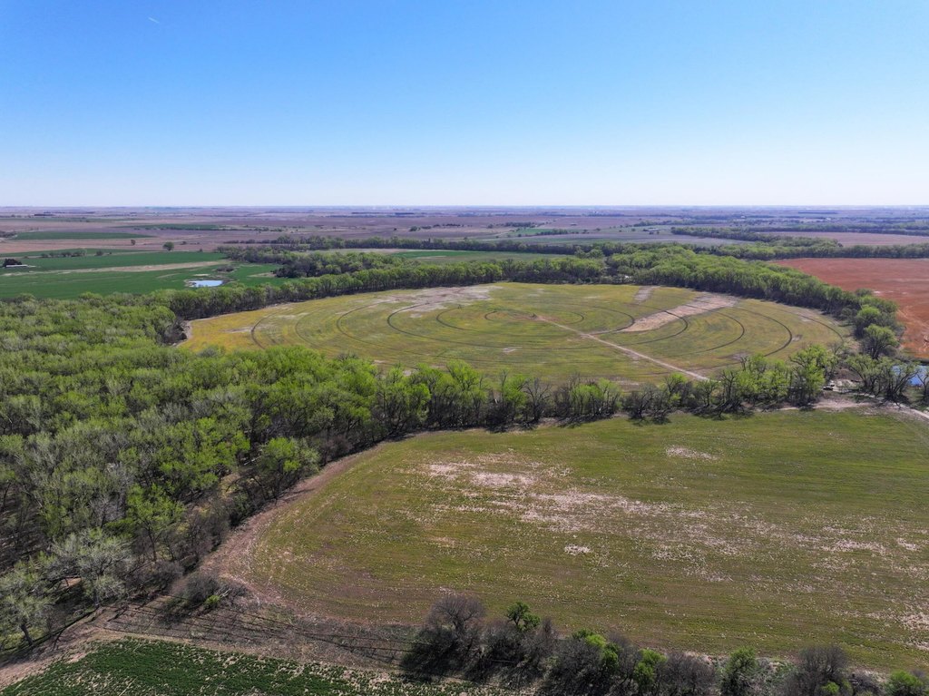
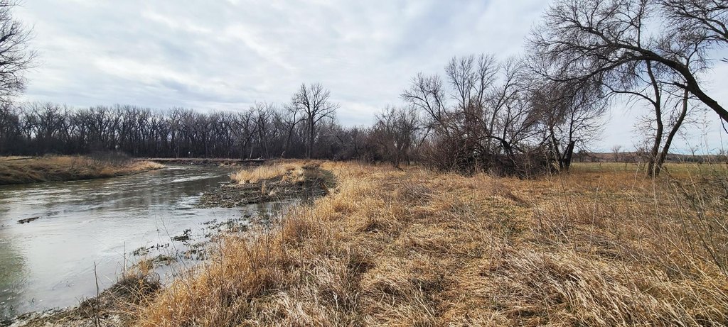
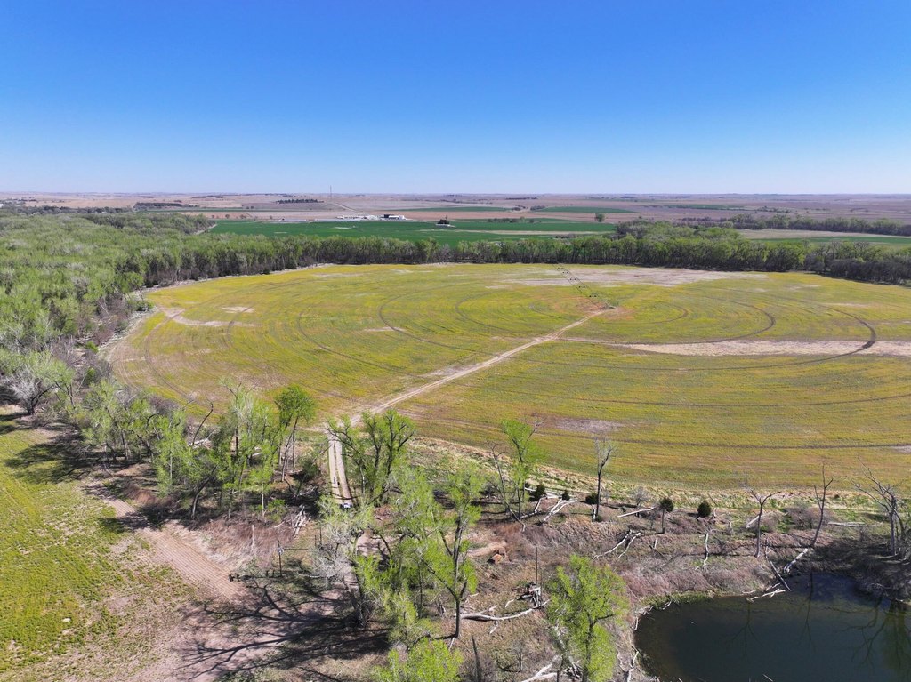
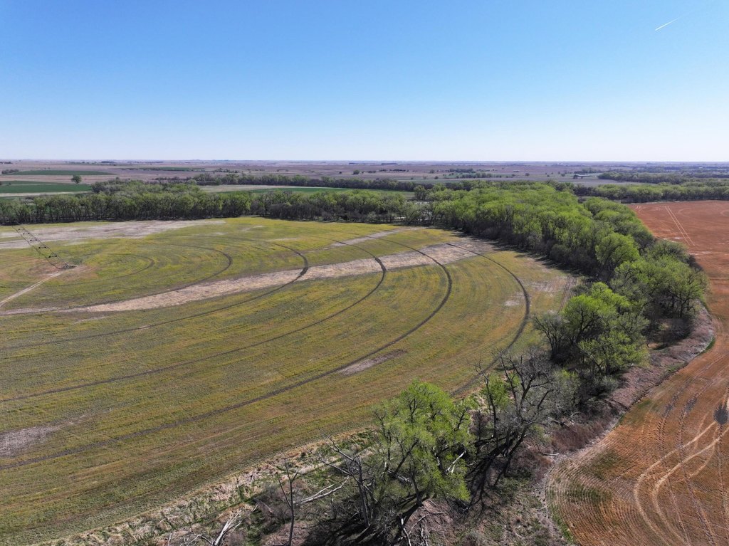
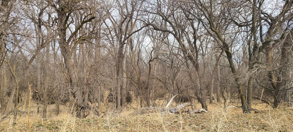
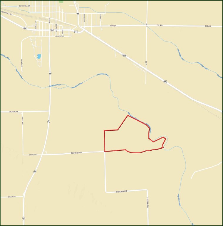
- Approximately 1 mile of Republican River frontage along the northern boundary in Harlan County, NE
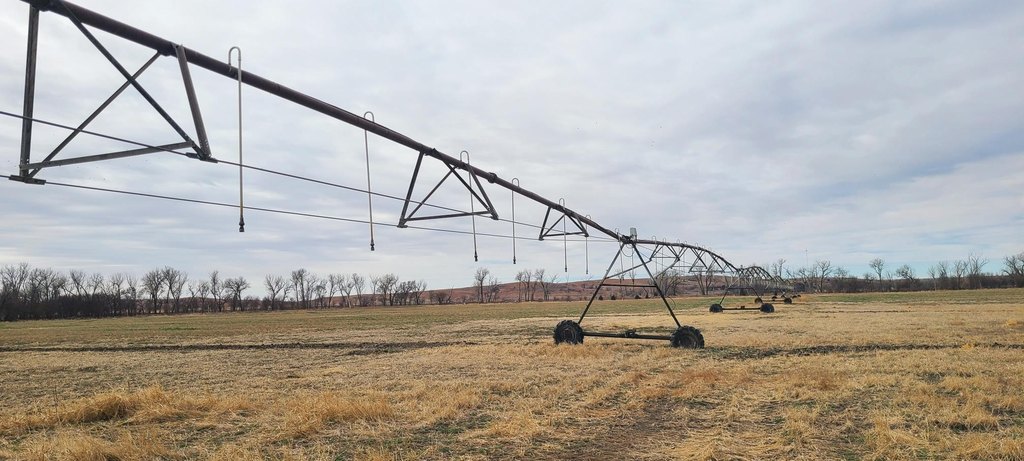
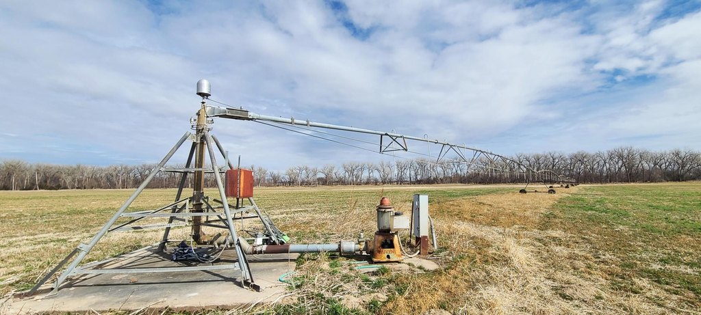
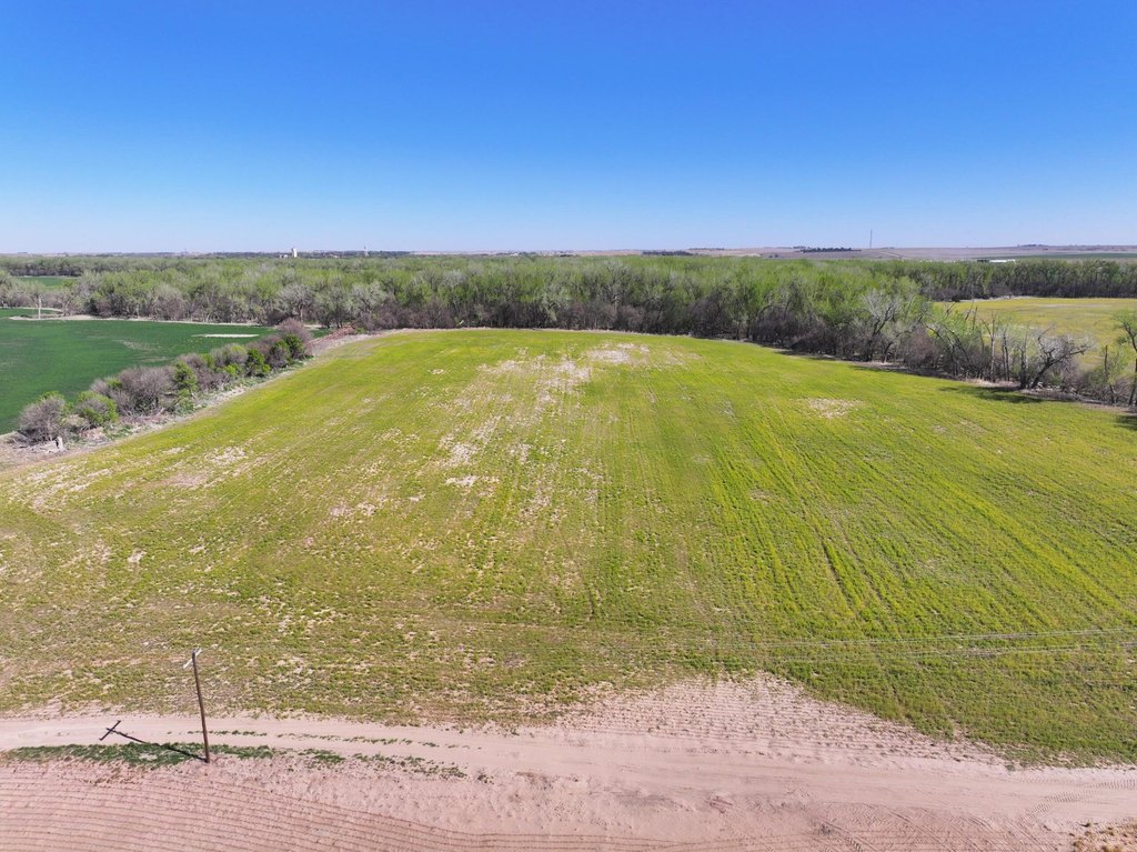
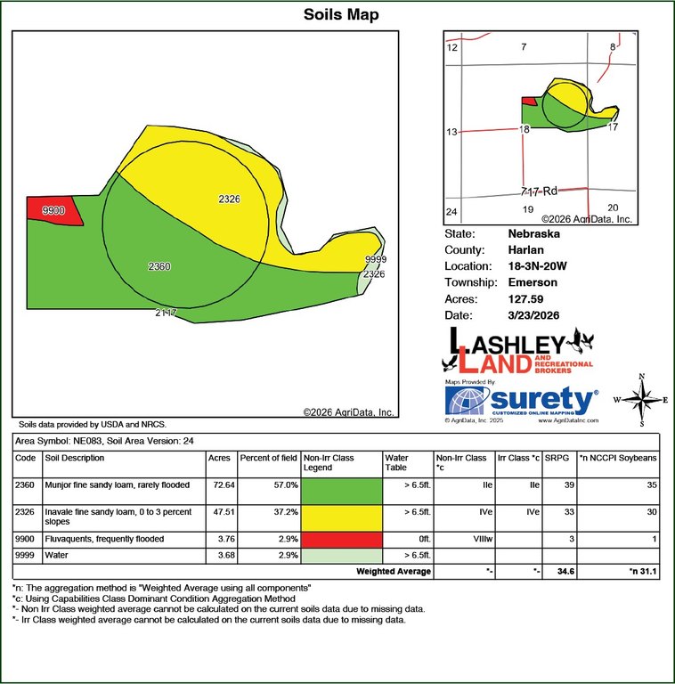
- 72.1 Certified Irrigated Acres under a late‑model pivot with a Valley control panel and 3‑phase power at the pivot point
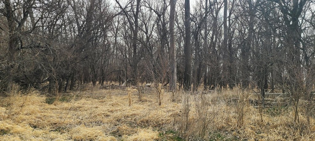
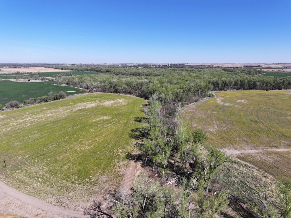
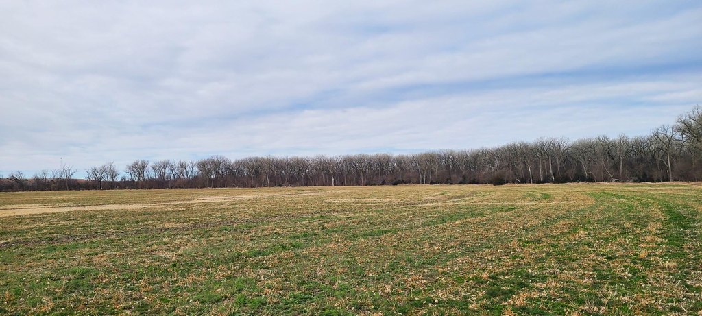
- Total of 122 taxed assessed acres: 72 irrigated acres plus 50 dryland and accretion timber
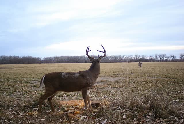
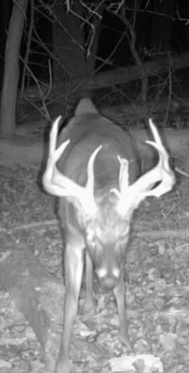
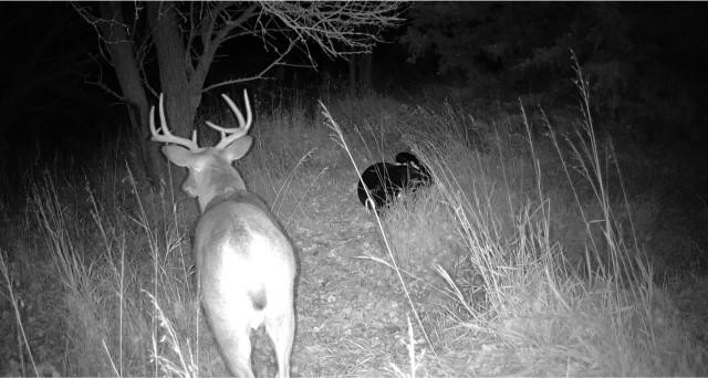
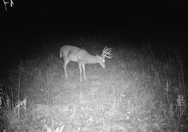
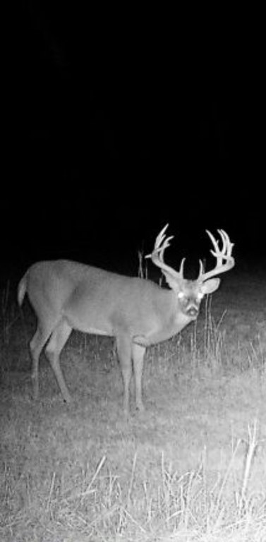
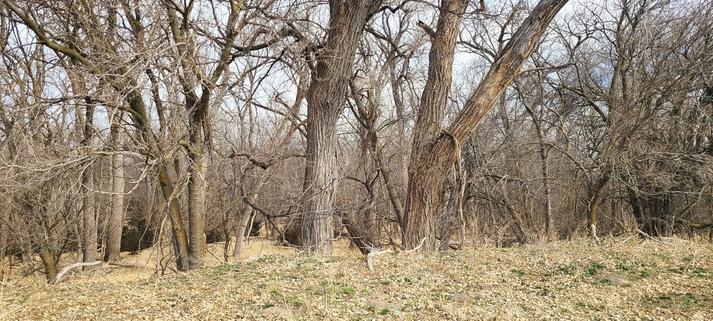
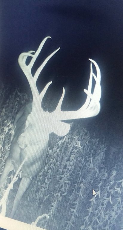
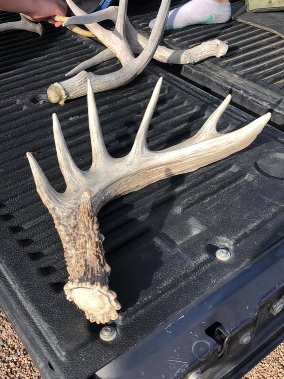
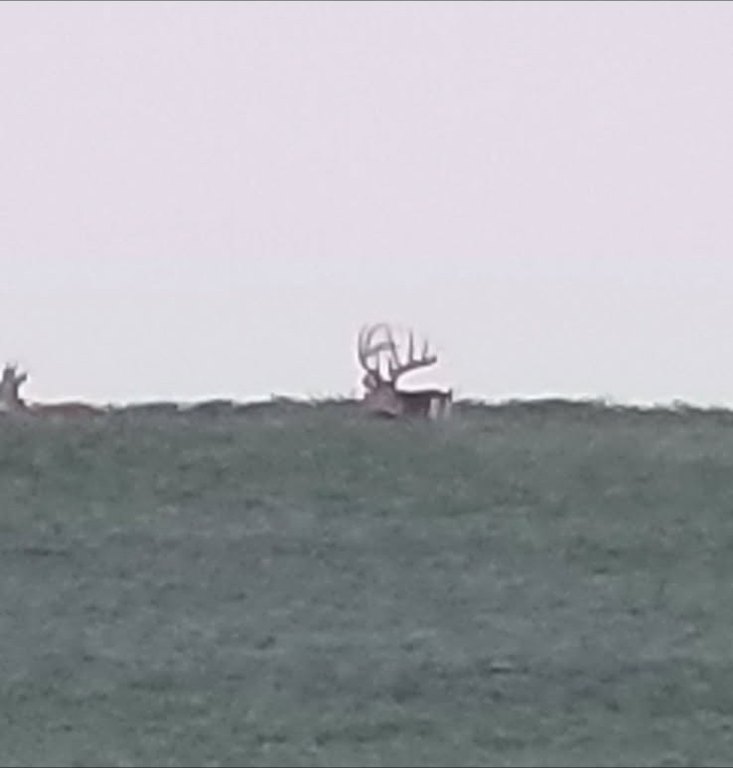
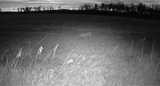
- Mature accretion timber and mixed farmland habitat supporting whitetail deer and turkey hunting
- Multiple potential building sites with scenic views and privacy
- Taxes listed at $2,541.26 for Oxford, NE 68967 (Harlan County)
Overview
The Republican River forms the northern boundary, with approximately a mile of frontage described along the northern edge. The natural corridor of water and surrounding habitat is a central component of the property’s recreational appeal, with the irrigated fields positioned for wildlife feeding and bedding. The property is located just a few miles south of Oxford, and local amenities in Oxford are described as including fuel, grocery, banking, and dining.
For buyers seeking land that can serve multiple uses, the layout supports year-round ground-based recreation while also maintaining a functioning irrigated component for agricultural operations. The existence of multiple prime building sites is also described, offering potential for a future home or hunting cabin. A tax statement is provided, along with the note that the irrigated acres are lower Republican NRD (72.1 CIAs).
Current Use by Public Records
Map
- City
- Oxford
- County
- Furnas
- State
- Nebraska
- Longitude
- -99.620735
- Latitude
- 40.227428


