
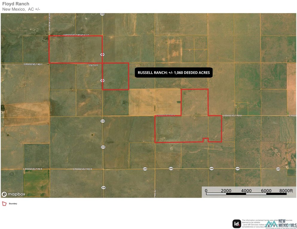
Nm 330 Roads, Floyd, NM 88118
- Added:
- Jun 17, 2026
- Days on Market:
- 11
- Last Refresh:
- Jun 27 at 1:06 pm
Property Features for Nm 330 Roads
General Information
- Property type
- Land
- Property subtype
- Other
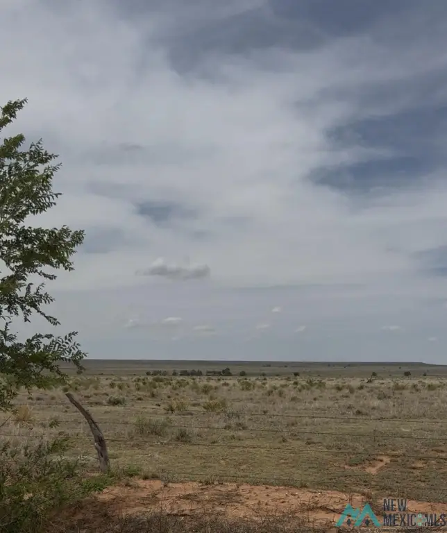
- Fencing
- Fenced, Barbed Wire, Perimeter
- Standard status
- Active
- APN
- 400001000245700;400001000246000;400001000237400;
- Lot size
- 1,060.00 Acres
Taxes and HOA fees
- Tax Year
- 2025
- Tax Description
- S: 2 T: 2 S R: 31 E S/2 320 Acres 07/17/24 20241521 Tdd;S: 12 T: 2 S R: 31 E 05/15/25 20251116 Rev Nw/4 160.000 Acres; S: 7 T: 2 S R: 32 E Se/4; S: 18 T: 2 S R: 32 E N/2 (Less 4.097 A.Trk In Ne/4 For Floyd Tower) 312.373 AcresS: 17 T: 2 S R: 32 E W/
- Tax Annual Amount
- 10
Listing agent Chris Rolston (575) 499-3515
Listing office Town & Country Real Estate, Inc. 521 N Main Suite A, Clovis, NM (575) 762-7776
Listing date Jun 17, 2026
Copyright © 2026 New Mexico MLS. All rights reserved. All information provided by the listing agent/broker is deemed reliable but is not guaranteed and should be independently verified.
HighLights
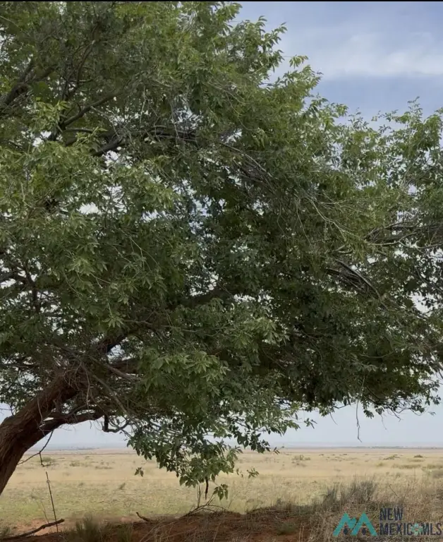
- 1,060 deeded acre ranch located just off NM Highway 330 between Floyd and Elida, NM (near Upton).
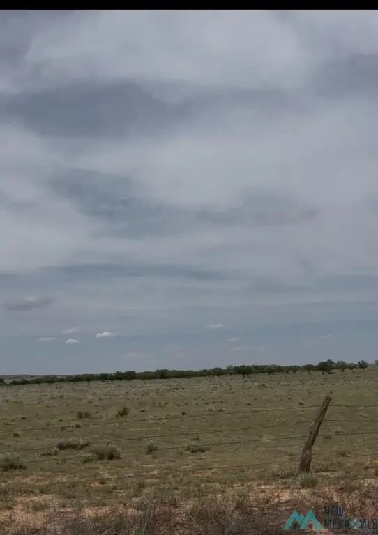
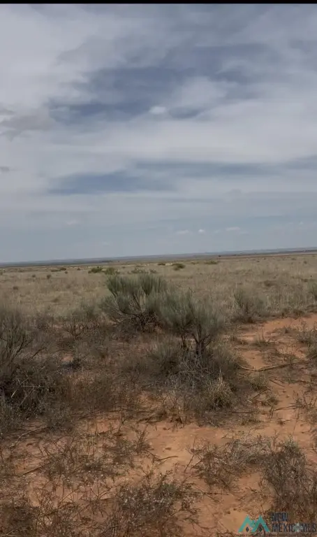
- Approximately 740 acres of native grass plus 320 acres of reversionary CRP grass for grazing and future management flexibility.
- Water from two wells: one in good working condition; second well not operational and needs a new pump, motor, and pressure tank.
- Well inspection details: approximately 12 feet of water in the hole; total depth about 64 feet (Zamora Well Service).
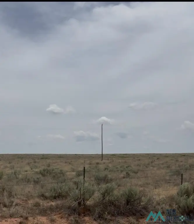
- Fencing includes perimeter fencing with barbed wire.
- Two quarter sections formerly enrolled in CRP do not have permanent fencing.
Overview
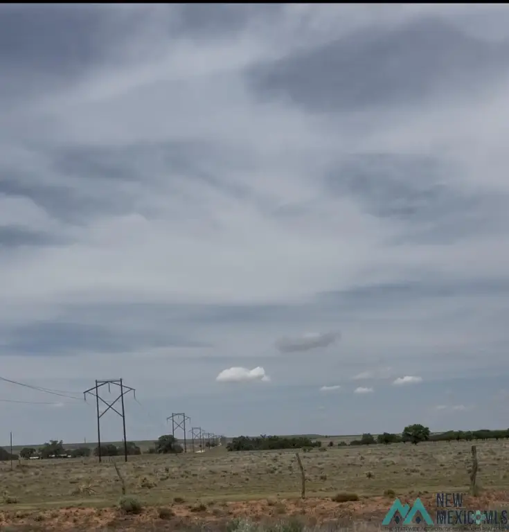
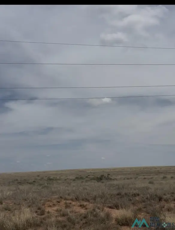
The property is located between Floyd and Elida, New Mexico, just off NM Highway 330 near Upton, with convenient year-round access. It is in Roosevelt County.
For operators seeking grazing ground with native forage and reversionary CRP history, this ranch provides a straightforward acreage platform and on-site water resources. The condition of the second well and the lack of permanent fencing on the former CRP quarter sections are important considerations for planning livestock handling and system upgrades. The property is being offered through a sealed offer process with an offer deadline of 12:00 Noon (Mountain Standard Time) on Friday, July 3rd.
Current Use by Public Records
Map
- City
- Floyd
- County
- Roosevelt
- State
- New Mexico
- Longitude
- -103.654769
- Latitude
- 34.15847357


