
Dryland Farm Tract with Highway
Hwy 36, Esbon, KS 66941
- Added:
- Feb 7, 2026
- Days on Market:
- 148
- Last Refresh:
- Jul 5 at 6:06 pm
Property Features for Hwy 36
General Information
- Property type
- Land
- Property subtype
- Other
- Standard status
- Active Under Contract
- Lot size
- 346.00 Acres
Listing agent Richard Boyles
Listing office Farmers National Co 623 Ash Rd, Esbon, KS
Listing date Feb 7, 2026
MLS# 11651349
Listing URL
Copyright © 2026 My State MLS. All rights reserved. All information provided by the listing agent/broker is deemed reliable but is not guaranteed and should be independently verified.
HighLights
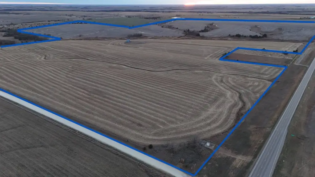
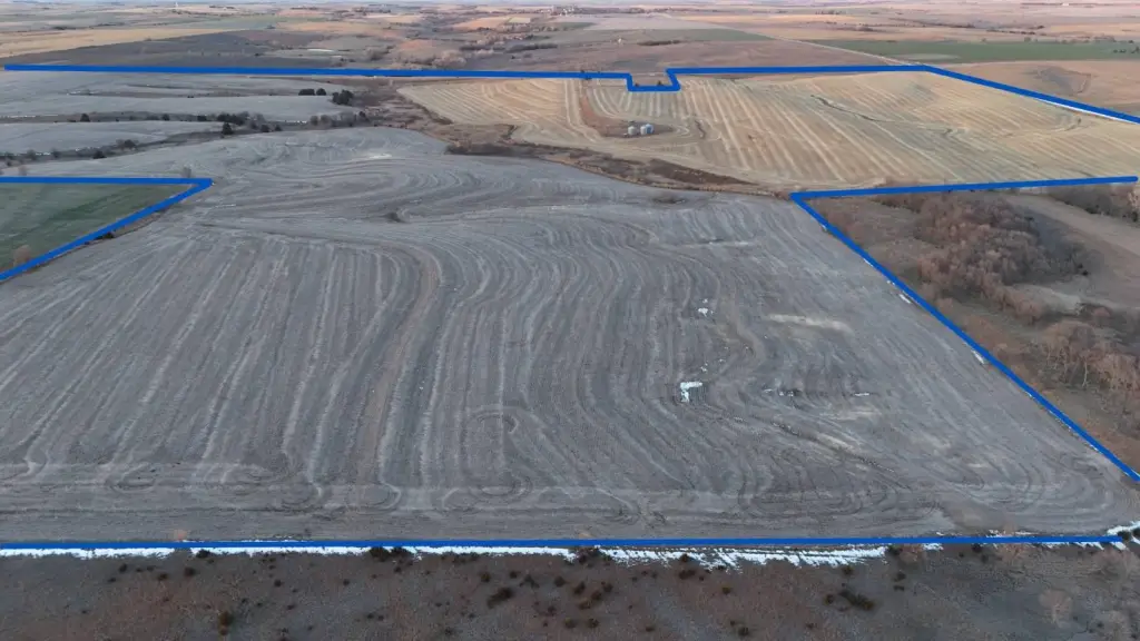
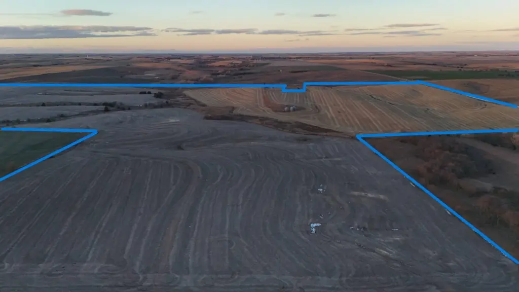
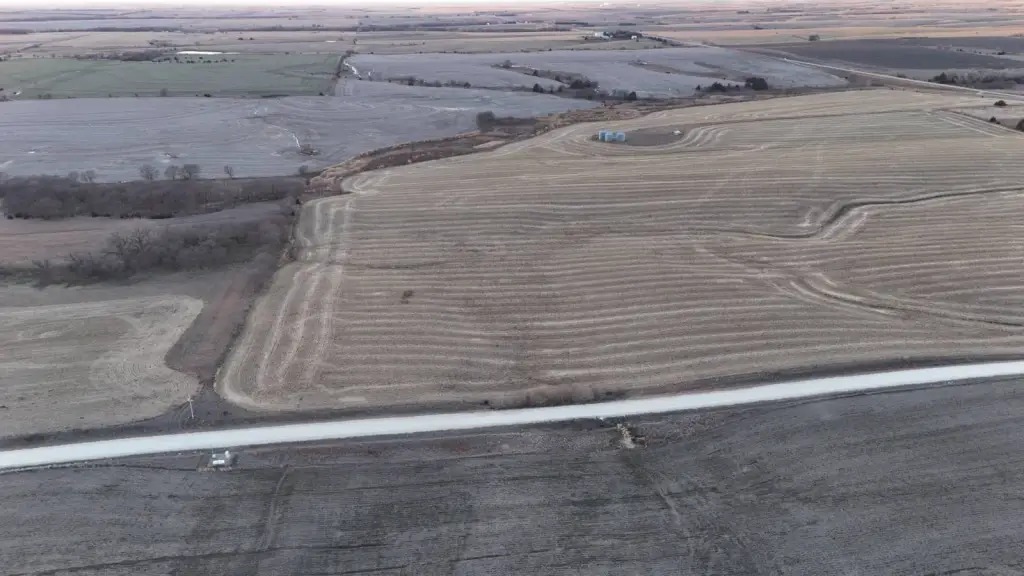
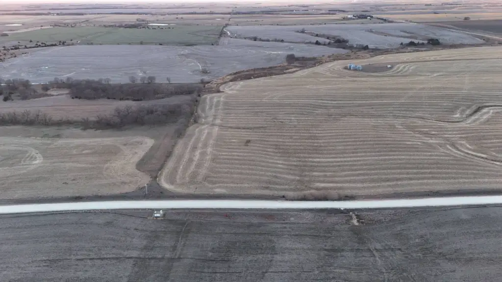
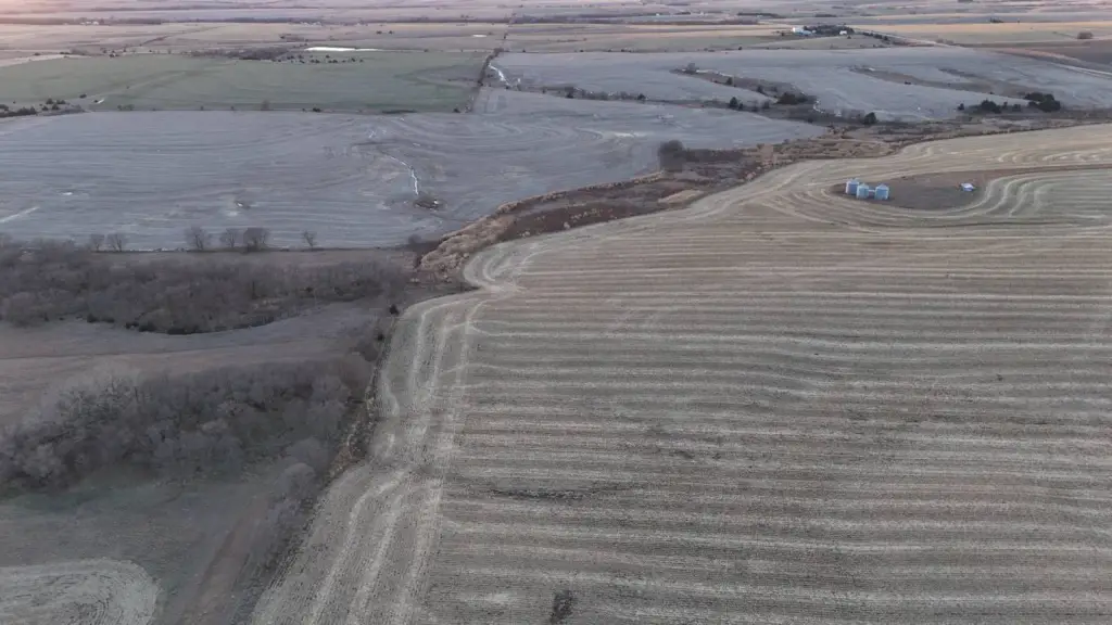
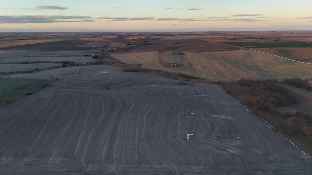
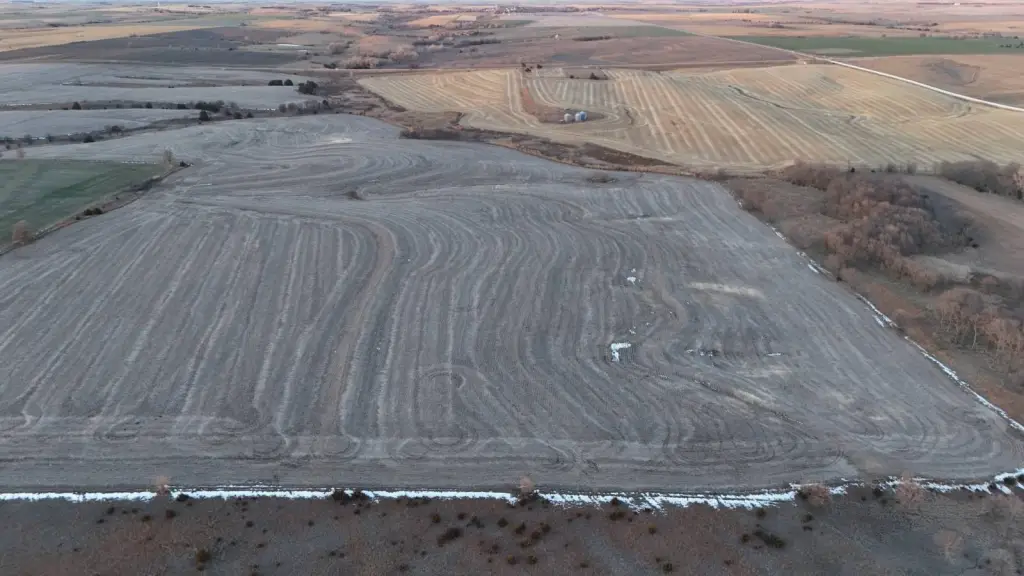
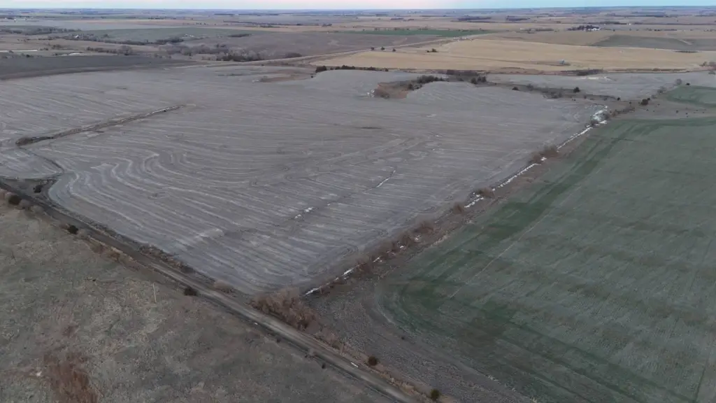
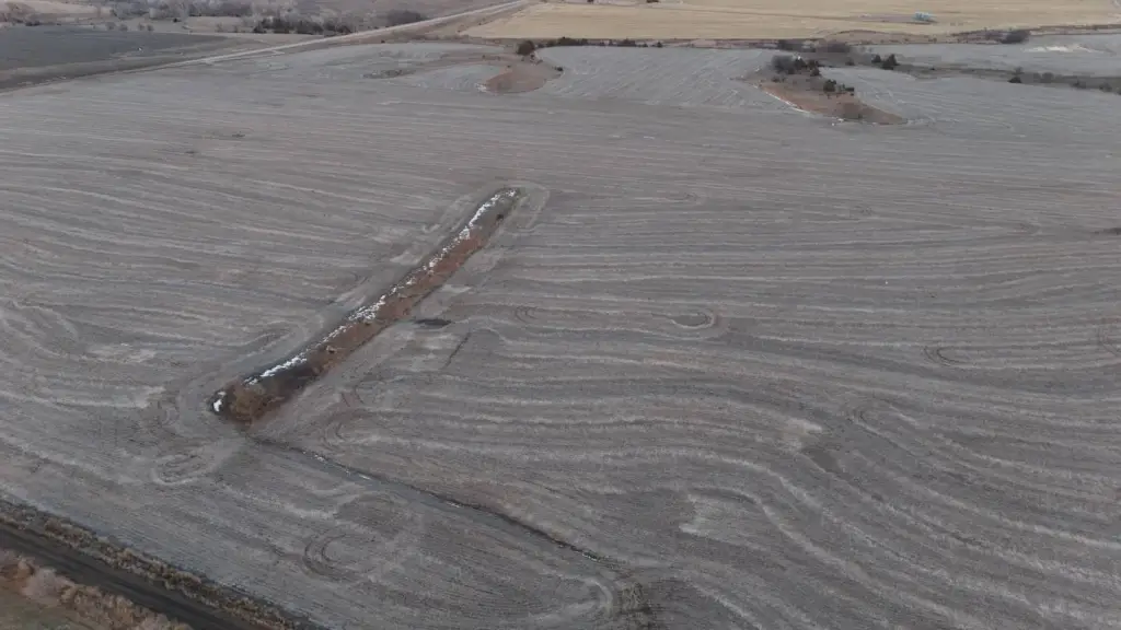
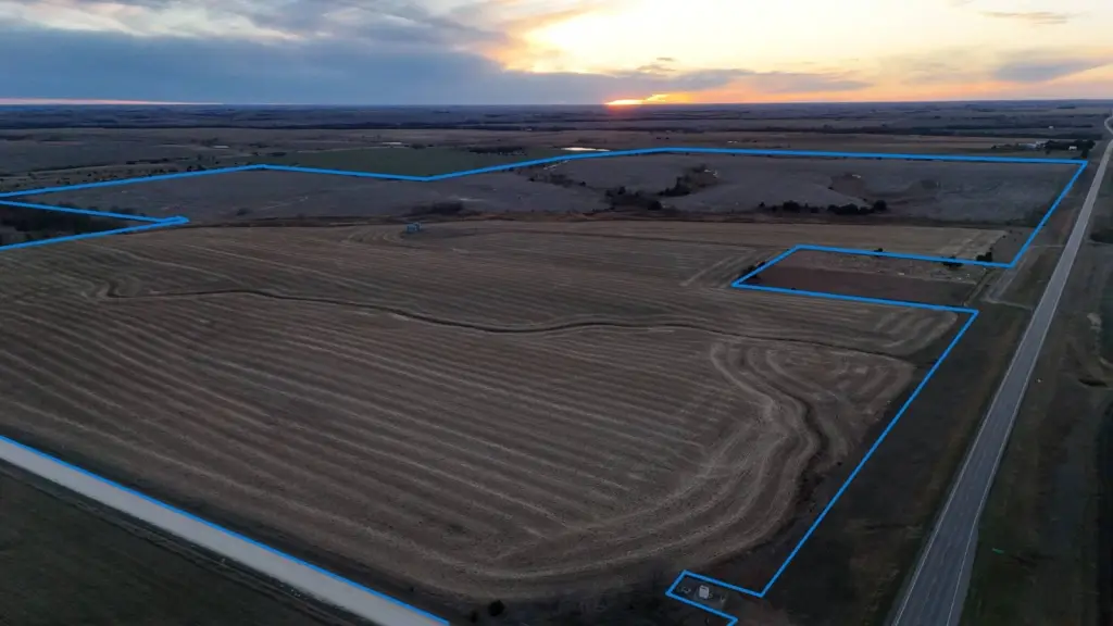
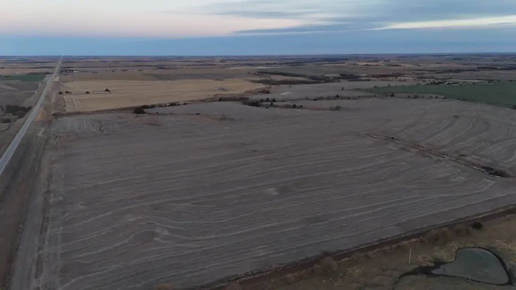
- 346+/- acre Jewell County farm on a single contiguous tract with productive dryland cropland and natural drainage features
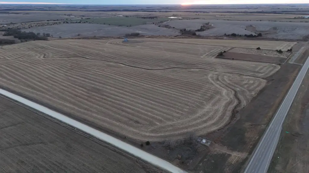
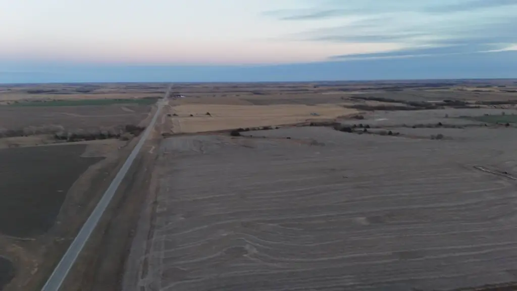
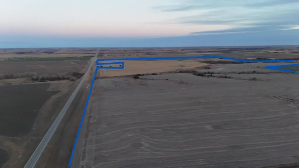
- Highway frontage along the entire north boundary, plus county road access on both the east and west sides for multiple entry points
- 339.15 FSA crop acres total: 305.35 acres currently in row crop and the balance in grass
- Includes a mix of highly farmable upland acres and complementary bottom/drainage ground within one large, continuous unit
- A small 30' x 30' area in the NE corner of the NW 1/4 of the SE 1/4 is owned by a neighboring landowner and is not part of the sold land
Overview
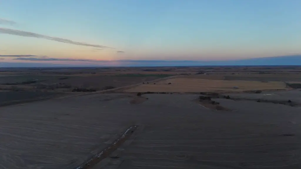
This 346+/- acre Jewell County farm consists of a single contiguous tract designed for efficient field operations. The property includes productive dryland cropland along with natural drainage features and a mix of open upland acres and bottom and drainage ground. There are 339.15 FSA crop acres, with 305.35 acres currently in row crop and the balance in grass. A three-sided road access configuration supports day-to-day work across the fields.
The farm has highway frontage along the entire north boundary, with county road access available on both the east and west sides. This layout provides multiple convenient entry points for large equipment and grain hauling. There is also a small 30-foot square area in the northeast corner of the NW 1/4 of the SE 1/4 that is owned by a neighboring landowner; it has been farmed together with the property and is included in the FSA crop acres, but it is not part of the land being sold.
For operators, the combination of dryland row crop acres, grass ground, and drainage areas can fit a range of crop and ground-management plans within one continuous unit. For buyers seeking sizable farmland acreage, the extensive north-side highway frontage and multiple county road access points offer practical logistical convenience for ongoing farming and hauling.
Property Profile
Location Intelligence
Current Use by Public Records
Agricultural land / Farmland
Map
- City
- Esbon
- County
- Jewell
- State
- Kansas
- Longitude
- -98.43895
- Latitude
- 39.78055
FAQs
What type of property is this?
Agricultural land / Farmland - Single contiguous tract with productive dryland cropland, natural drainage areas, and multiple all-weather access points for farm operations.
Where is this agricultural land / farmland located?
The property is located at Hwy 36 Esbon, KS.
What is the asking price?
The asking price for this property is Off market.
What are key features of this property?
This property features: 346+/- acre Jewell County farm on a single contiguous tract with productive dryland cropland and natural drainage features; Highway frontage along the entire north boundary, plus county road access on both the east and west sides for multiple entry points; 339.15 FSA crop acres total: 305.35 acres currently in row crop and the balance in grass


