Pr-748 CAIMITAL, Guayama 00784

- Added:
- May 26, 2026
- Days on Market:
- 14
- Last Refresh:
- Jun 8 at 6:06 am
Property Features for Pr-748 CAIMITAL
General Information
- Property type
- Land
- Property subtype
- Other
- Zoning
- R-G
- Standard status
- Active
- APN
- 420-003-011-40-000
- Lot size
- 54.34 Acres
Taxes and HOA fees
- Tax Annual Amount
- 175
Building Details
- Architectural style
- Other
Listing agent Luis Figueroa License #24293 (787) 689-7061
Listing office ARK REAL ESTATE 1666 Ave. Ponce de Leon, San Juan (787) 382-3720
Listing date May 26, 2026
Copyright © 2026 Stellar MLS. All rights reserved. All information provided by the listing agent/broker is deemed reliable but is not guaranteed and should be independently verified.
HighLights
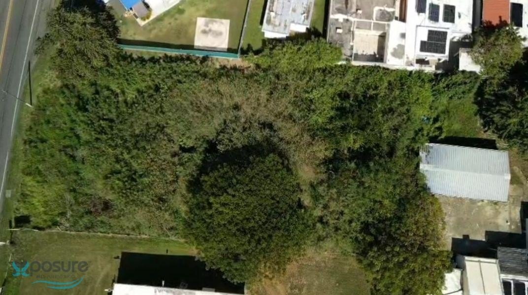
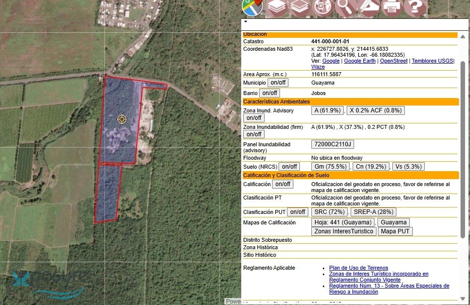
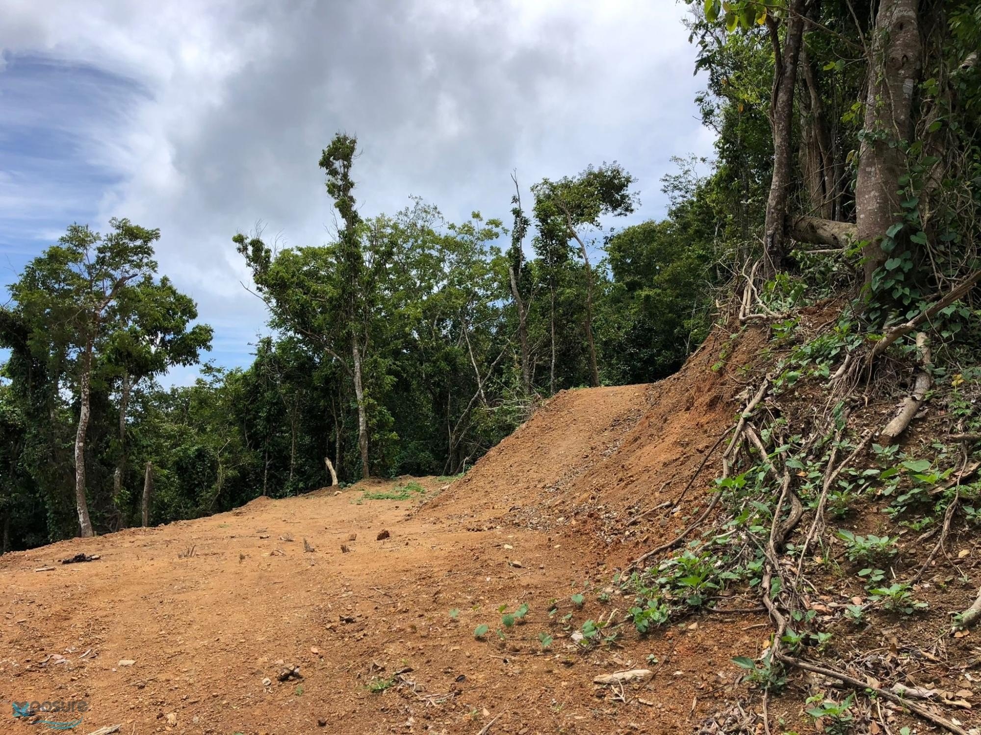
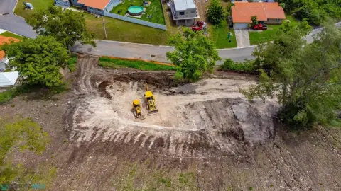
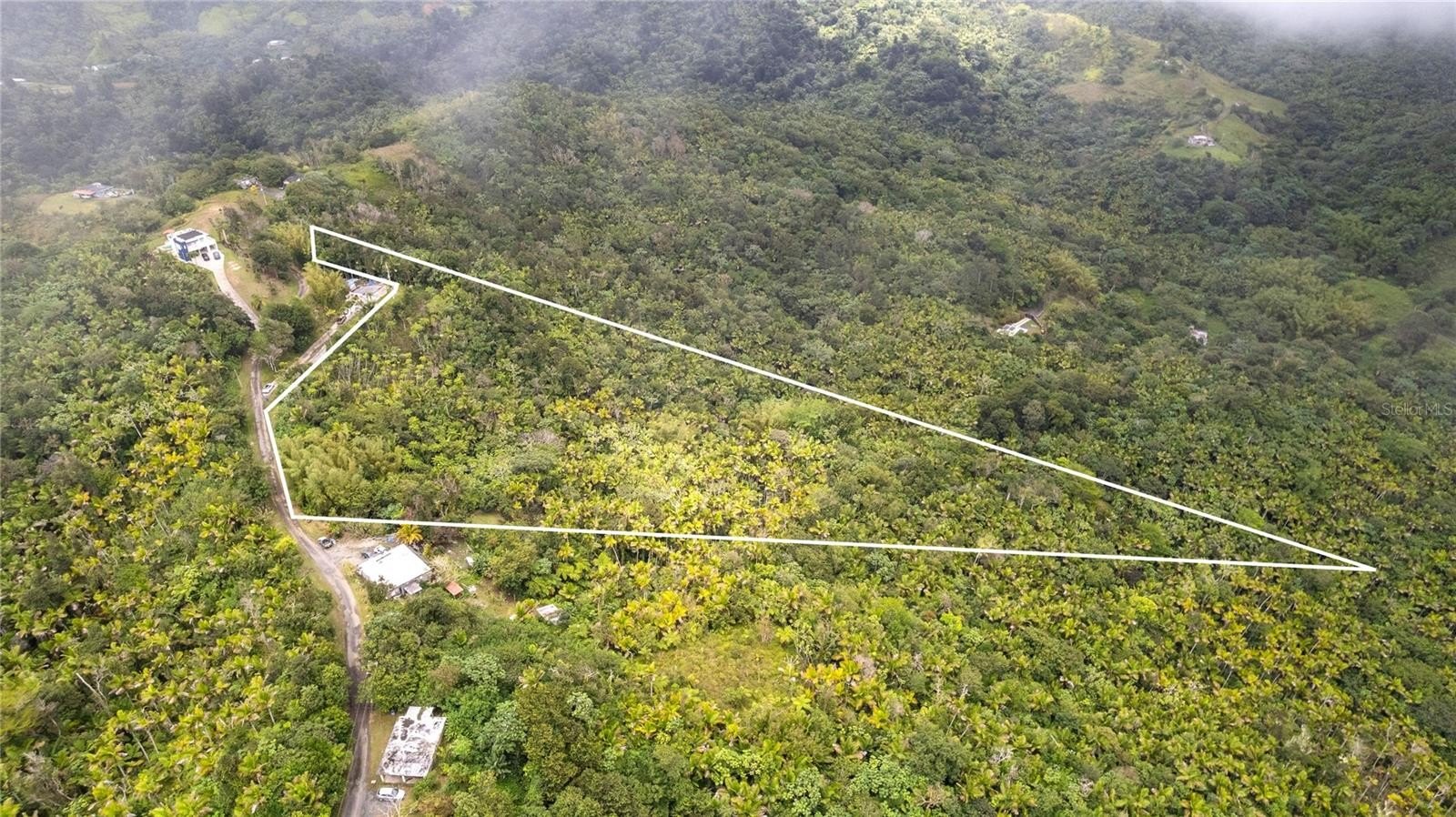
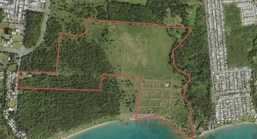
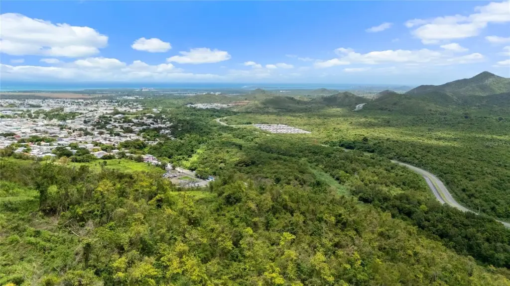
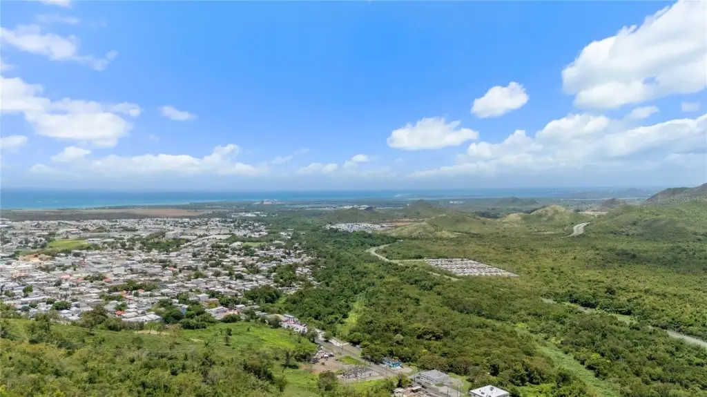
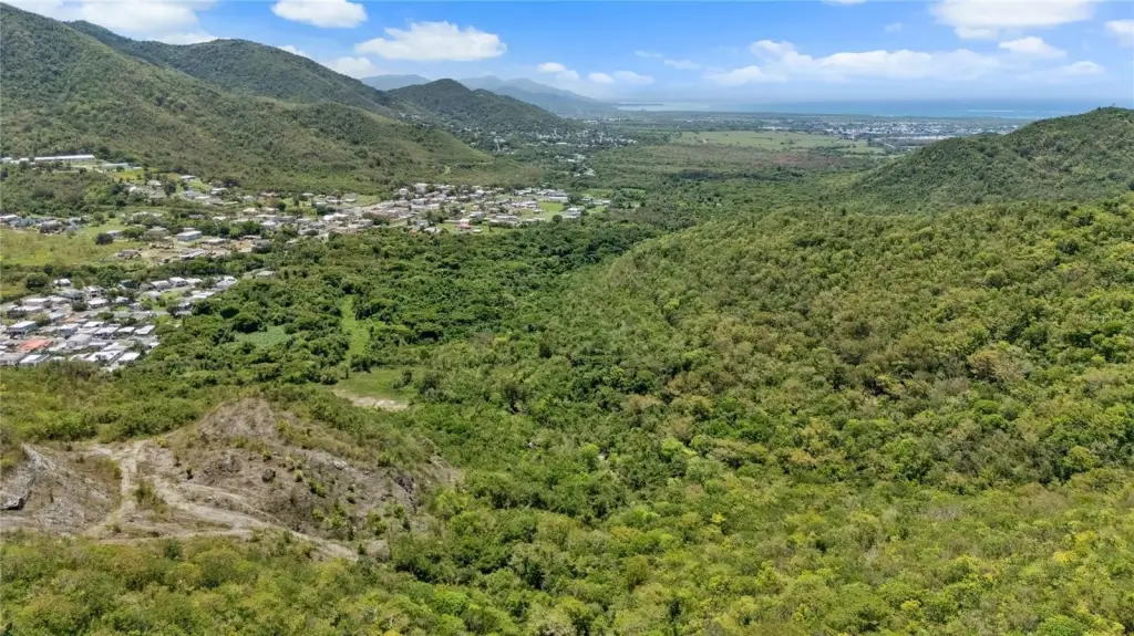
- Approximately 55.95 cuerdas (219,905 square meters) of land along PR‑748 in the Caimital Ward of Guayama
- Zoned R‑G (General Rural), supporting a broad range of residential, agricultural, tourism, and other compatible uses per applicable regulations
- Includes a previously approved 30‑lot subdivision concept, offering a planning head start for future development
- Flood Zone X per available FEMA mapping, with the entire property located outside high‑risk flood hazard areas
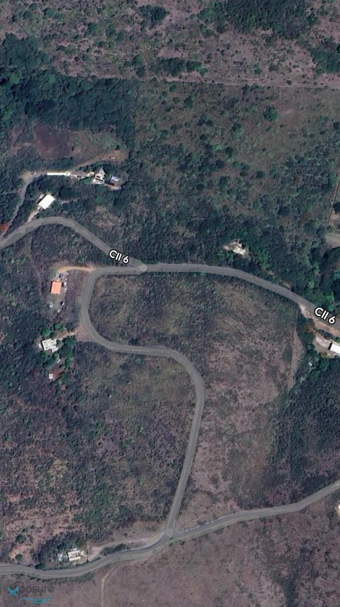
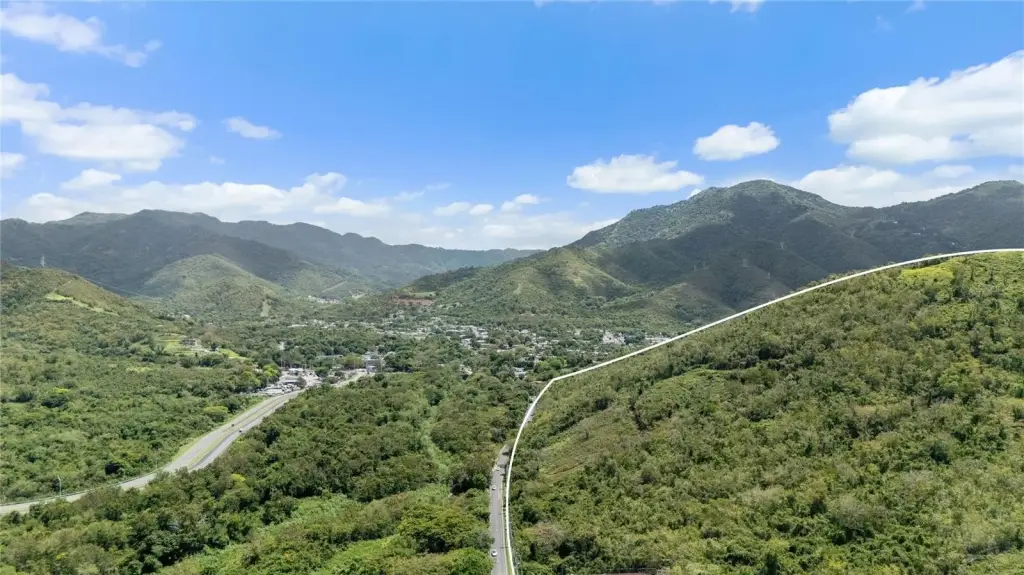
- Direct access from PR‑748 and proximity to downtown Guayama and major transportation routes
- CRIM: $175 annually; coordinates provided: 17.99574860, -66.10844626
Overview
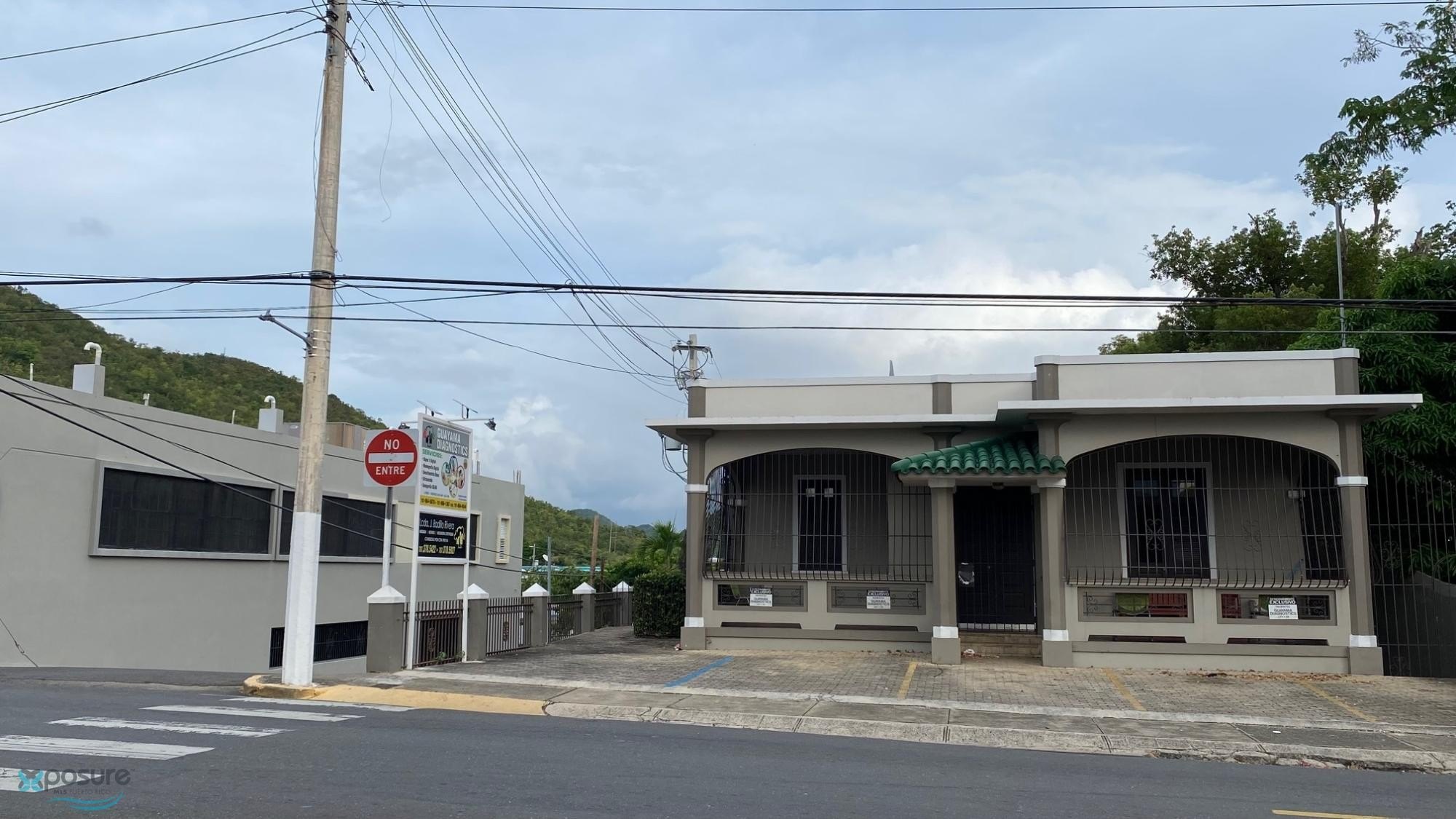
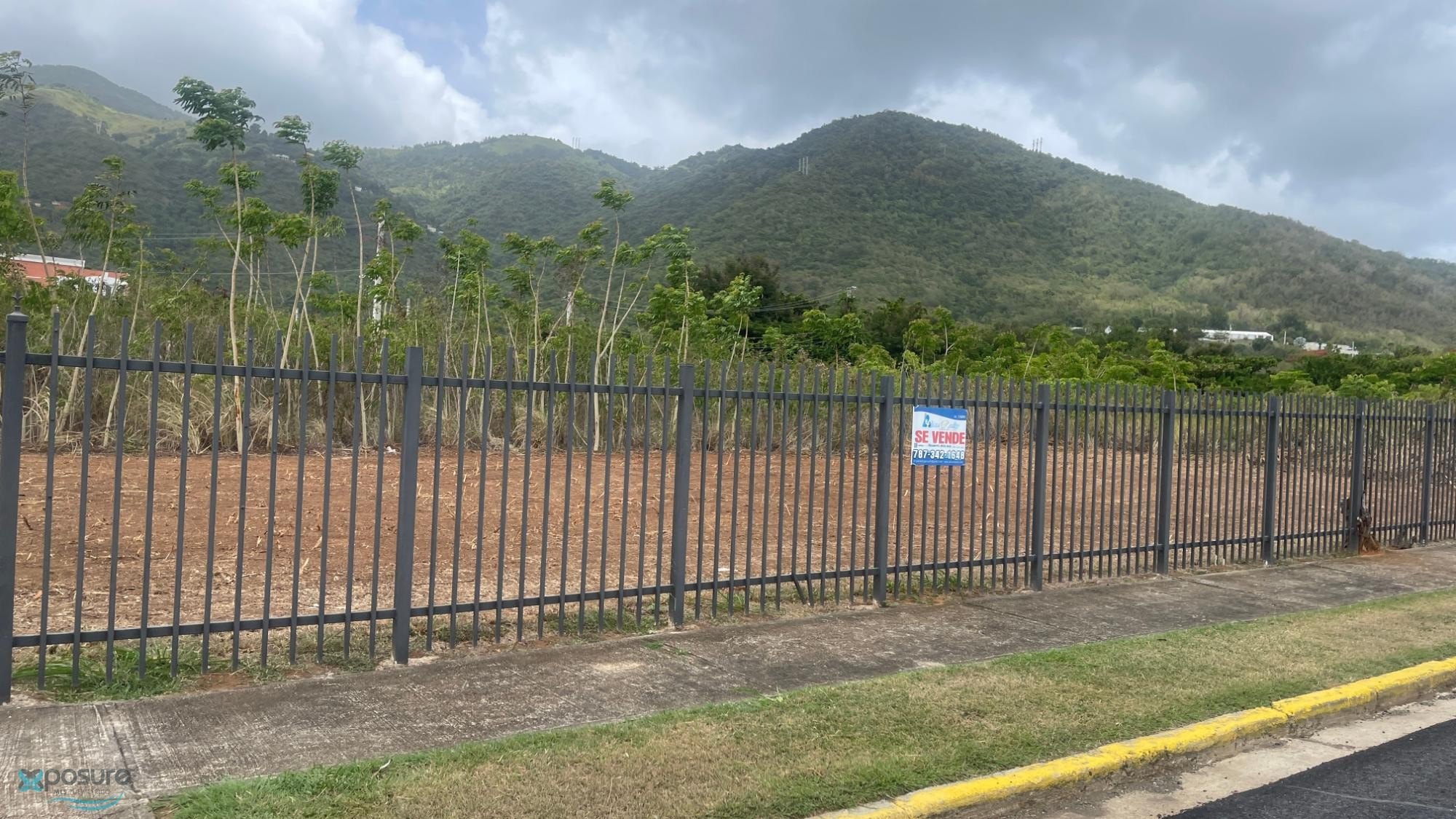
The land has direct access from PR-748 and is located immediately adjacent to Guayama’s urban center, with shopping, schools, restaurants, government services, and major transportation routes described as nearby. FEMA mapping information provided indicates the entire property is in Flood Zone X, outside of high-risk flood hazard areas.
For buyers, developers, or landowners looking for a substantial tract with flexible development pathways under the R-G classification, this parcel combines rural setting with convenient connectivity to downtown Guayama. The previously approved subdivision concept can be valuable for those aiming to move beyond preliminary layouts and into more defined next steps, subject to applicable regulations and approvals.
Current Use by Public Records
Map
- City
- Guayama
- County
- Adjuntas
- State
- Longitude
- -66.1099419
- Latitude
- 17.9972573