
Fox Farm Road, Hurley, VA 24620
- Added:
- Nov 4, 2025
- Days on Market:
- 213
- Last Refresh:
- Jun 5 at 11:06 am
Property Features for Fox Farm Road
General Information
- Property type
- Land
- Property subtype
- Other
- Standard status
- Pending
- Lot size
- 175.16 Acres
Taxes and HOA fees
- Tax Year
- 2025
- Tax Description
- +/- 175.168 Acres; Map #: 2HH041027; KNOX CREEK 0 0; Deed Inst. #: 240000434; Plat Inst. #: 230000454
- Tax Annual Amount
- 123
Listing agent Matthew Gallimore License #225062681 (540) 239-2585
Listing office UC/Blue Ridge Land & Auction PO Box 234 102 South Locust St., Floyd, VA (540) 745-2005
Listing date Nov 4, 2025
Copyright © 2026 New River Valley Association of Realtors. All rights reserved. All information provided by the listing agent/broker is deemed reliable but is not guaranteed and should be independently verified.
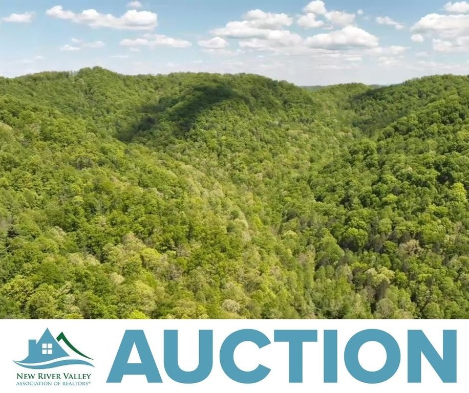
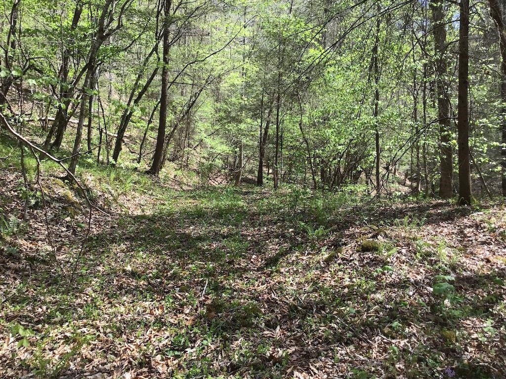
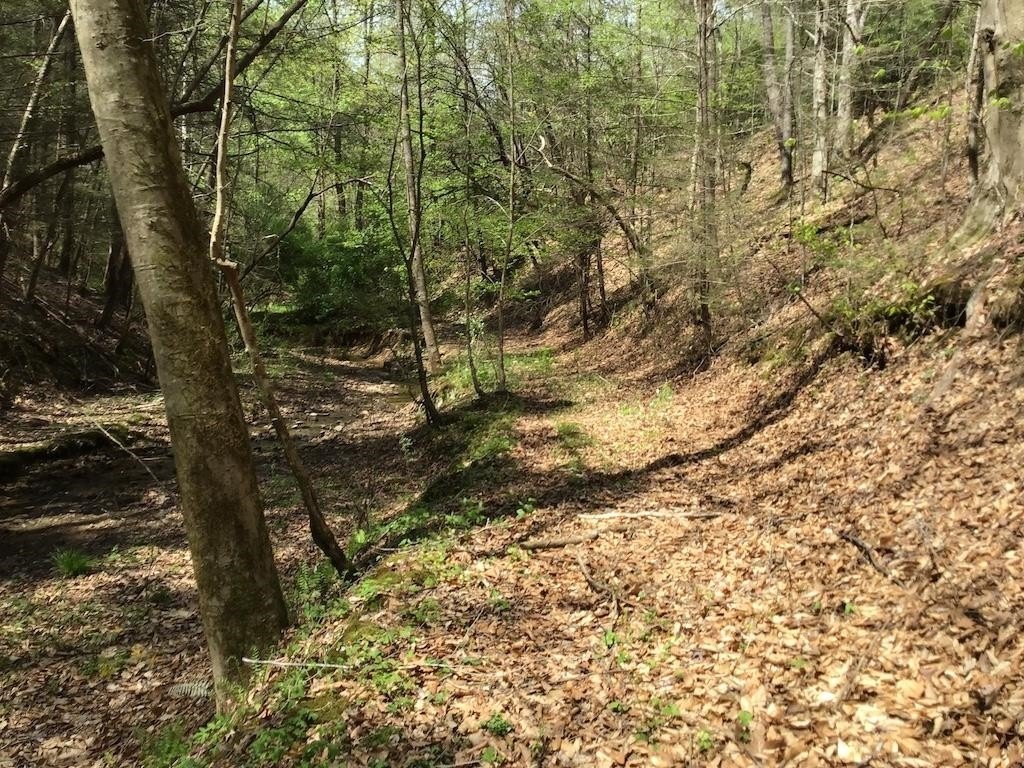
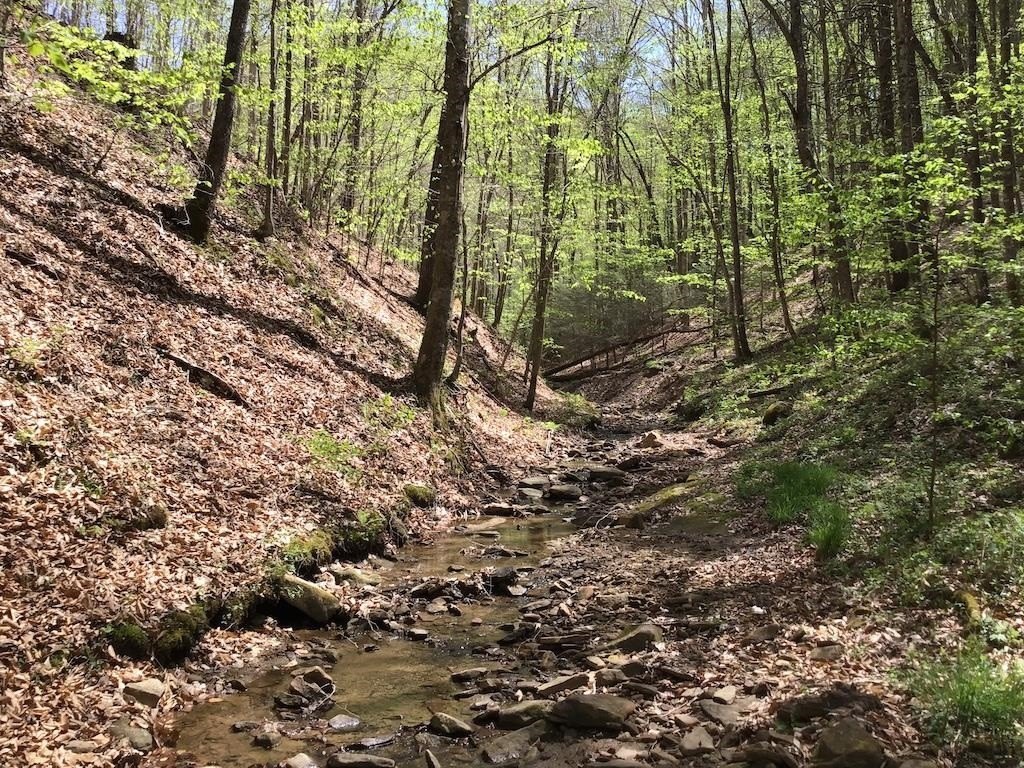
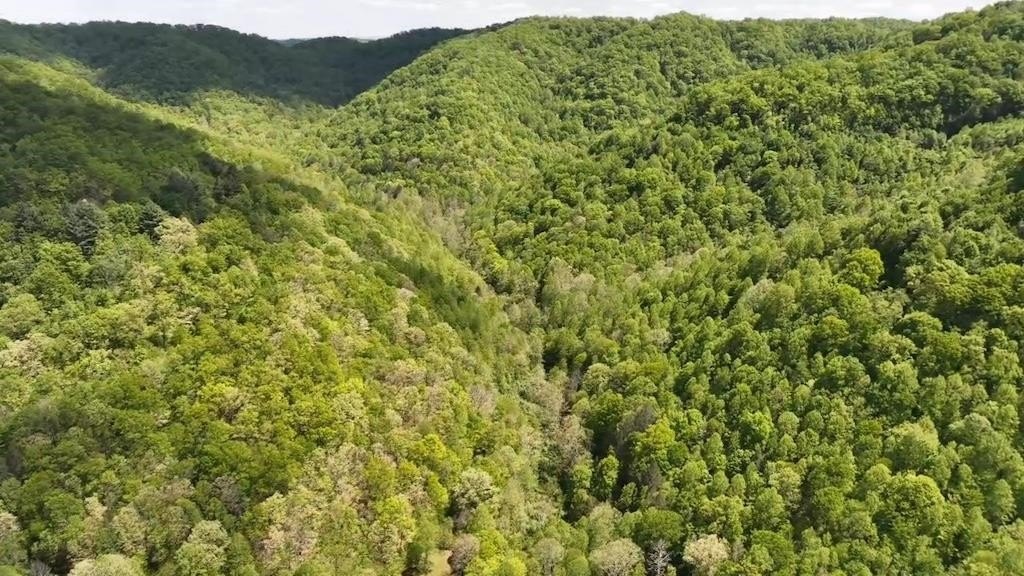
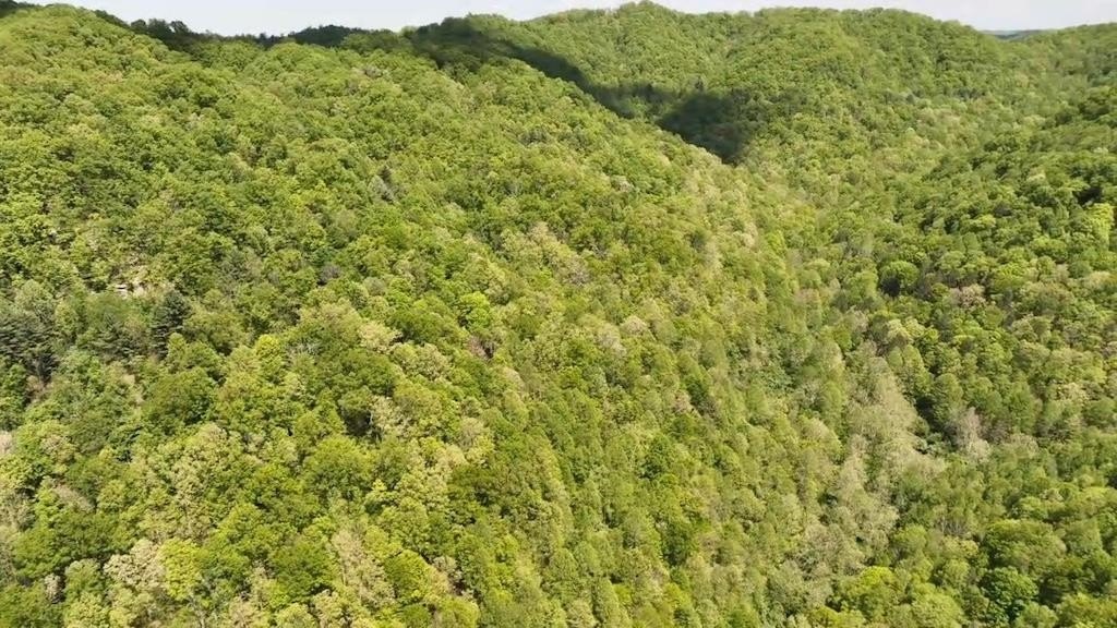
HighLights
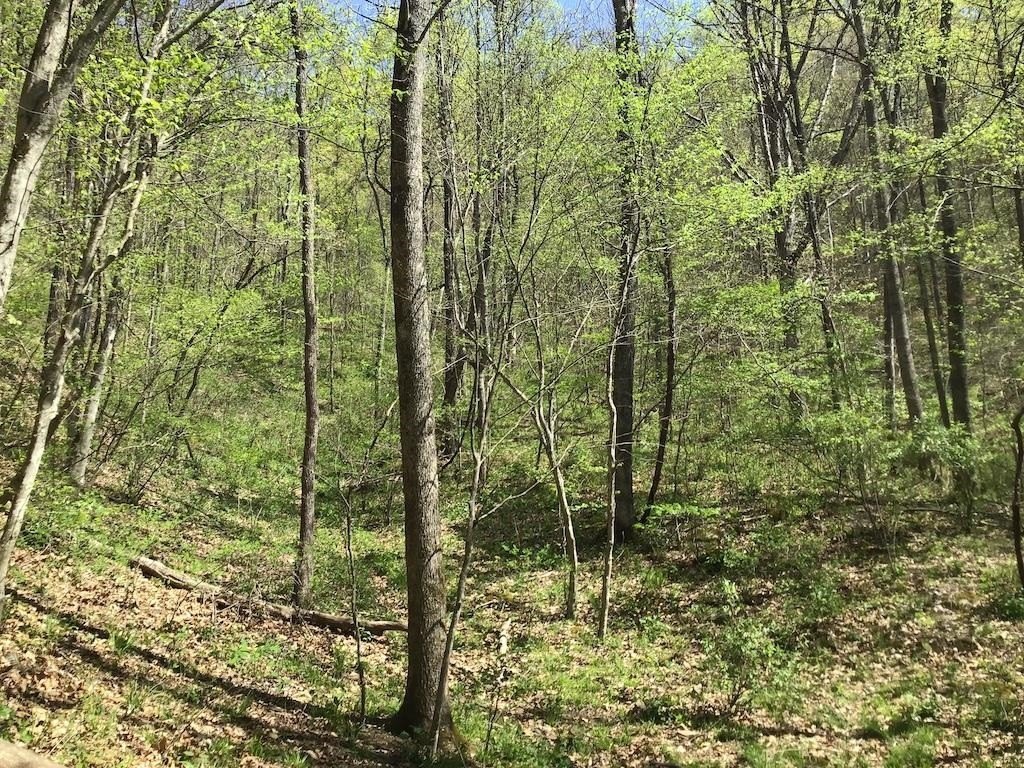
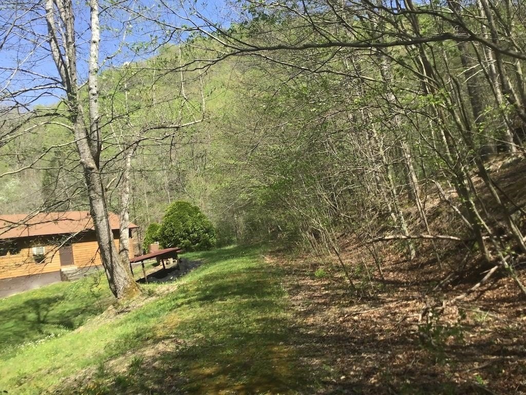
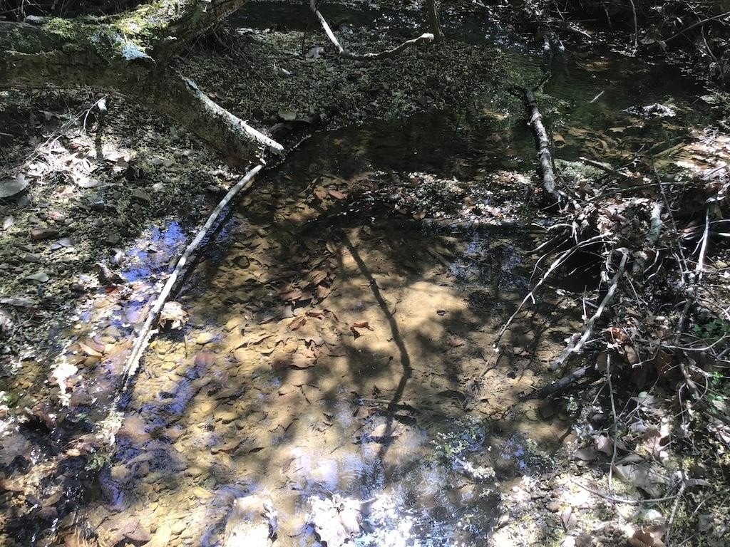
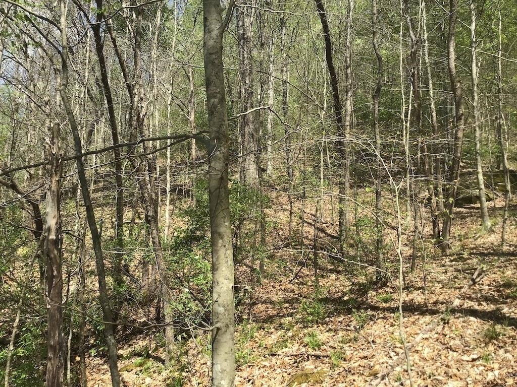
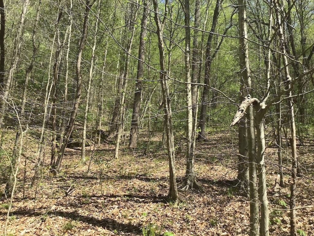
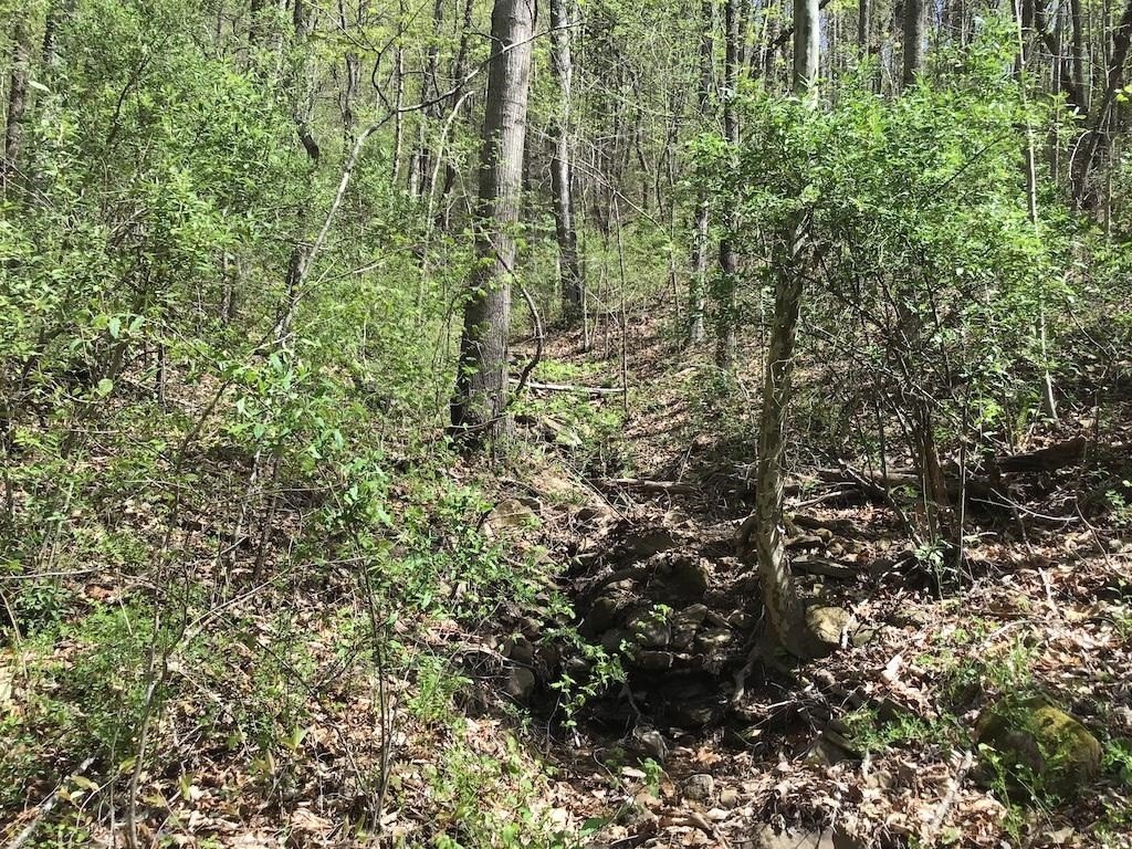
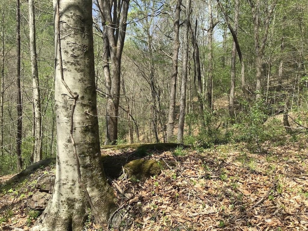
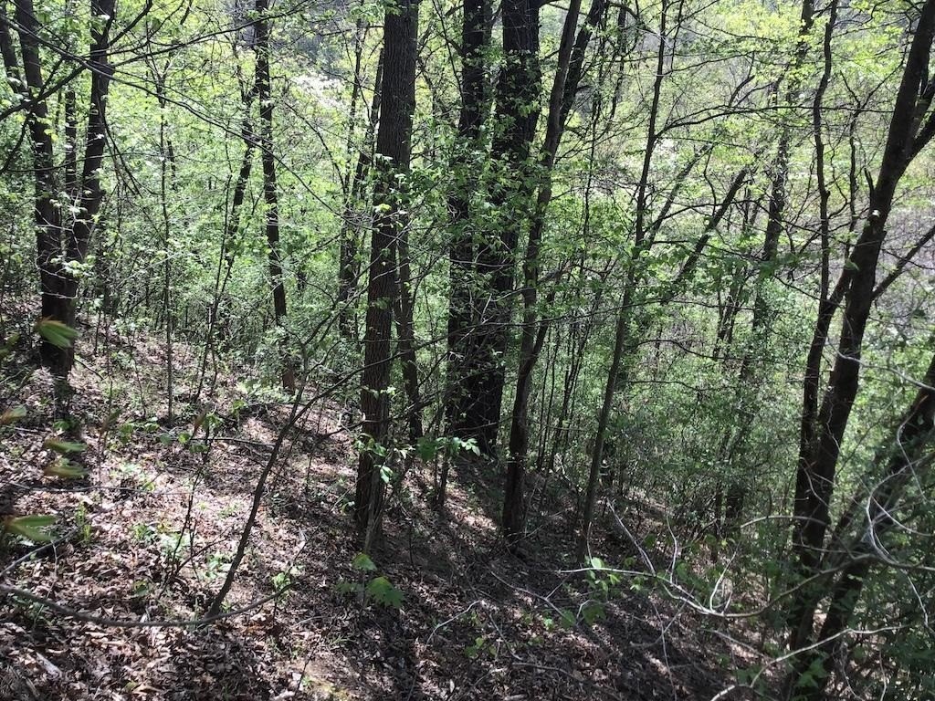
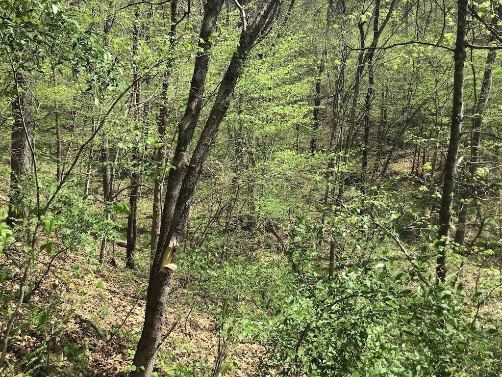
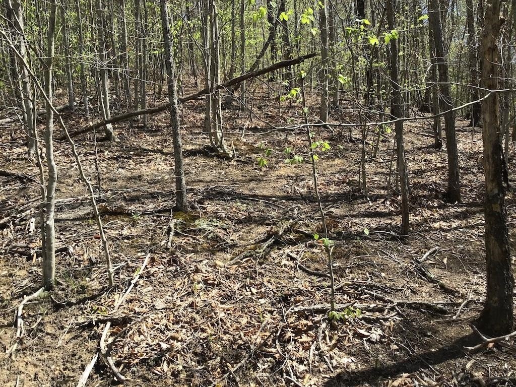
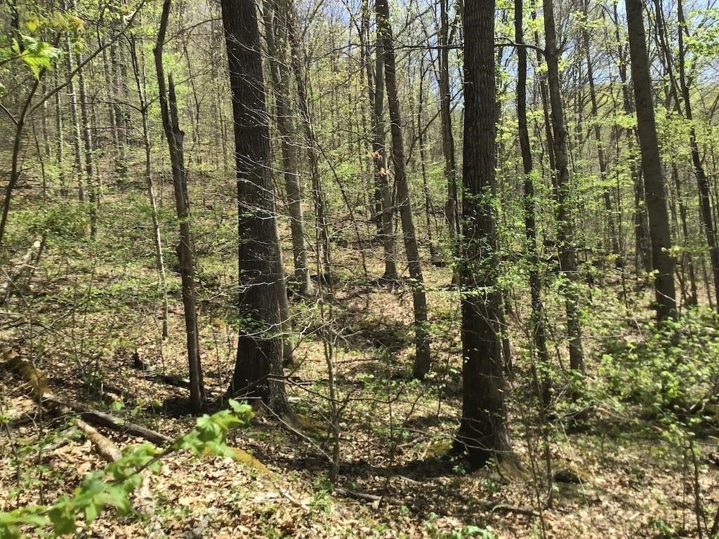
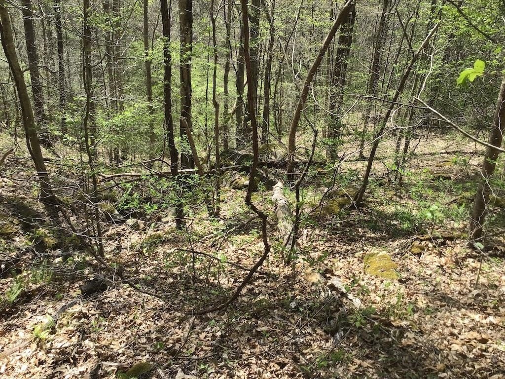
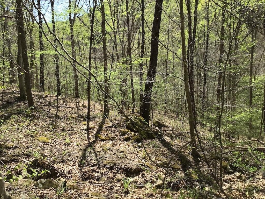
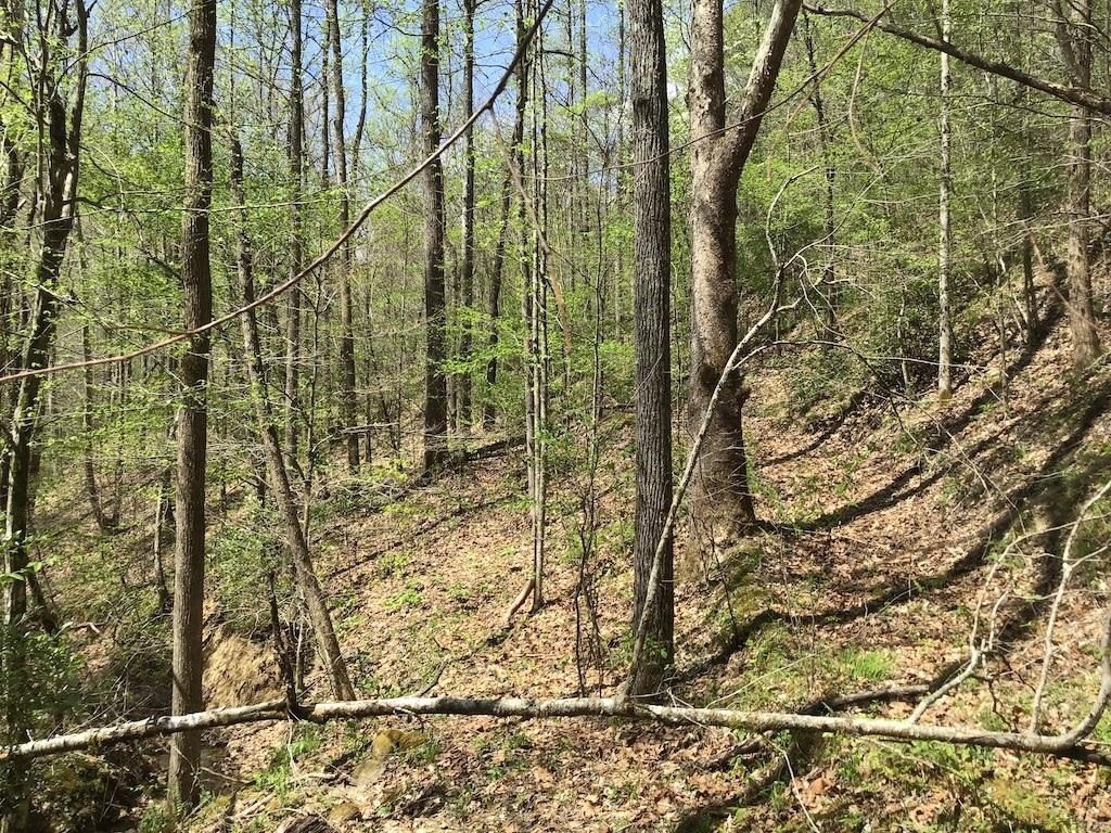
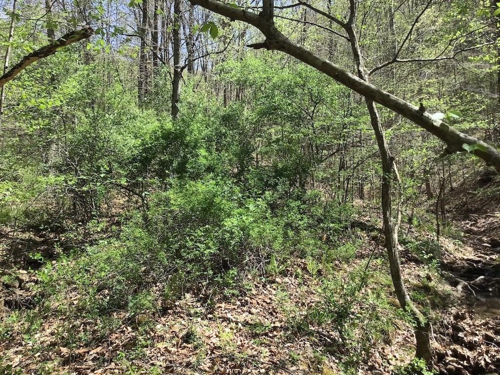
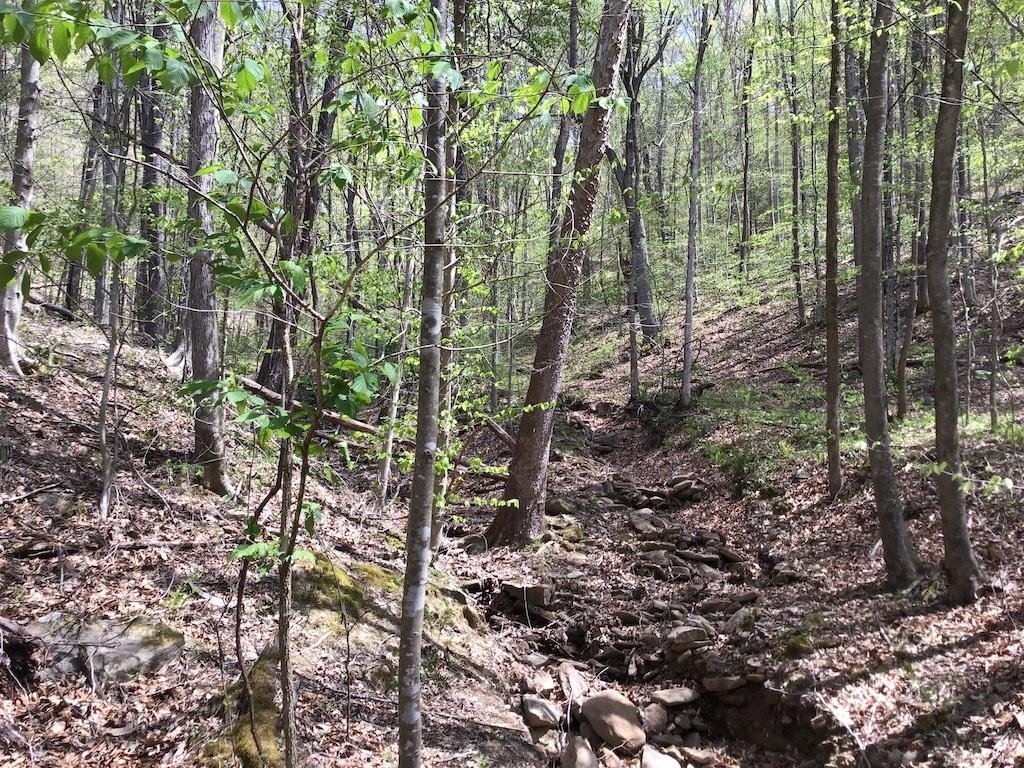
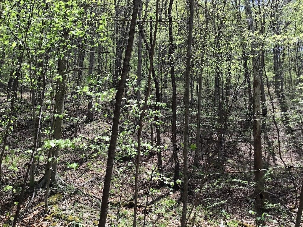
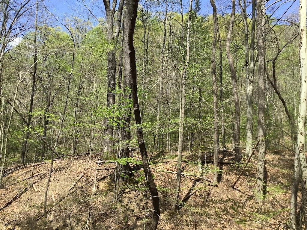
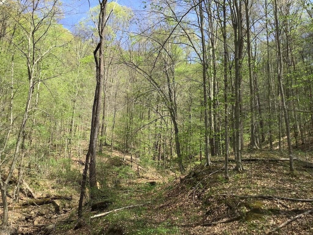
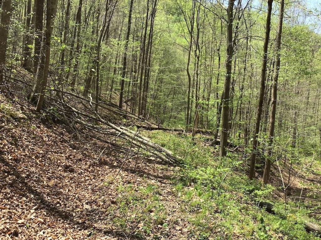
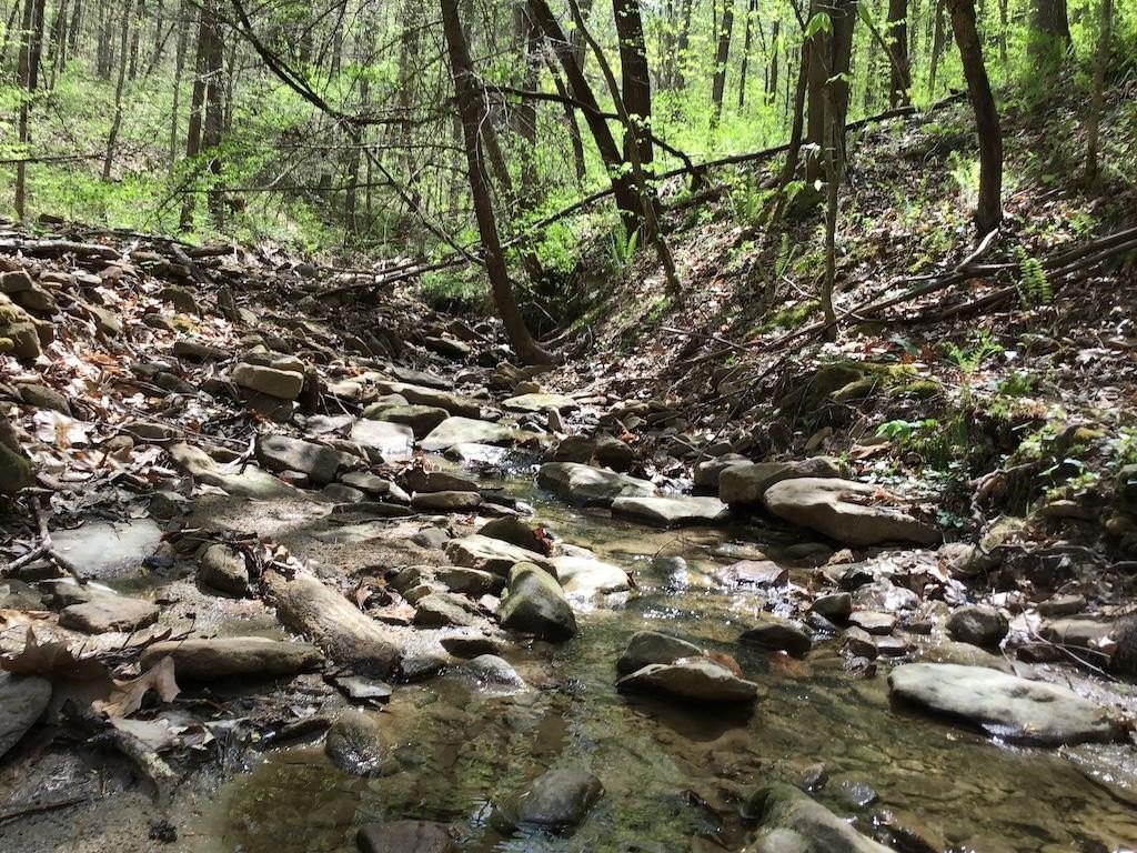
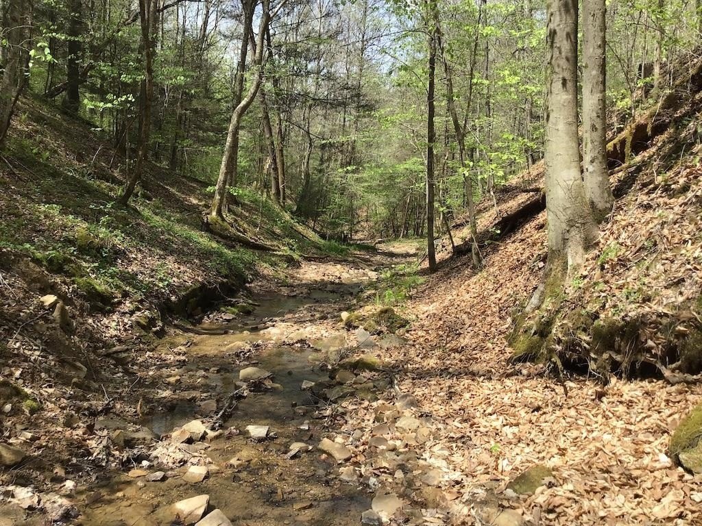
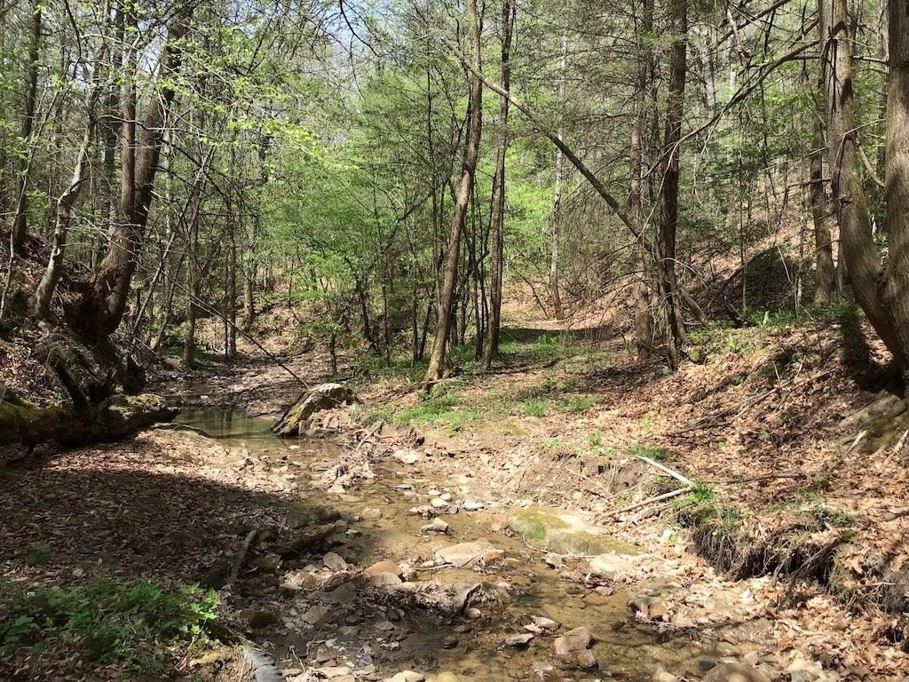
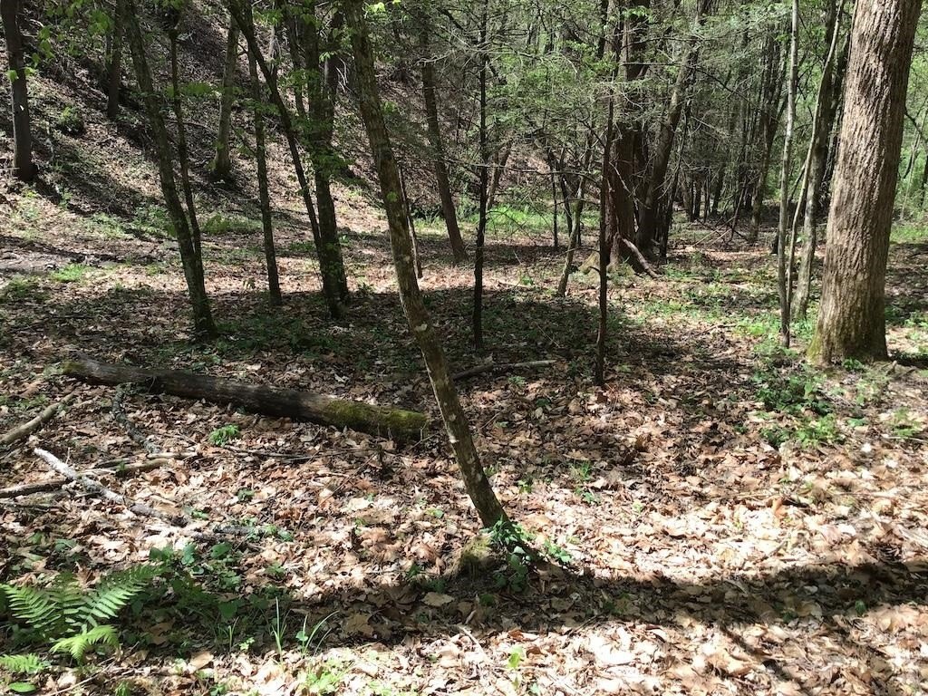
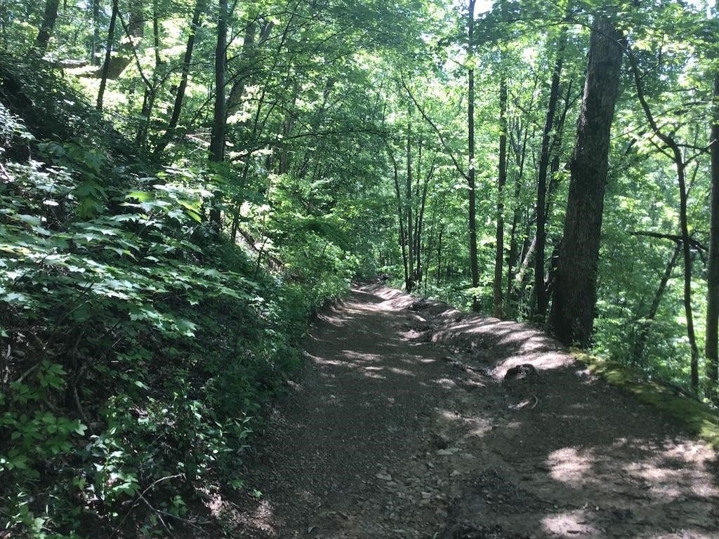
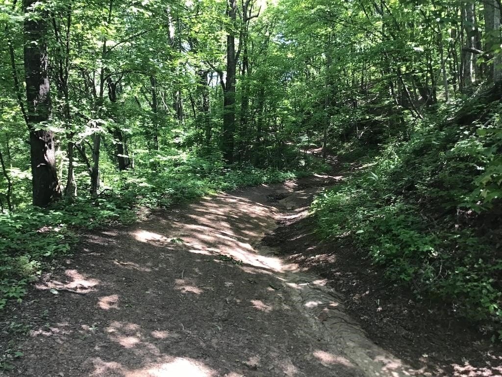
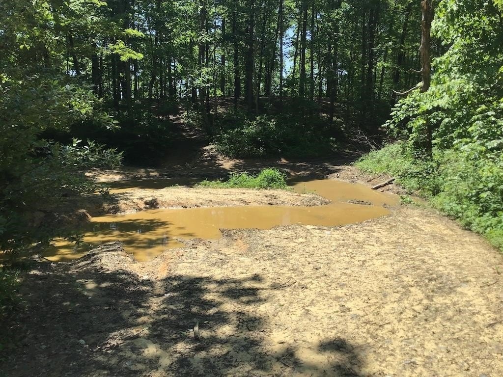
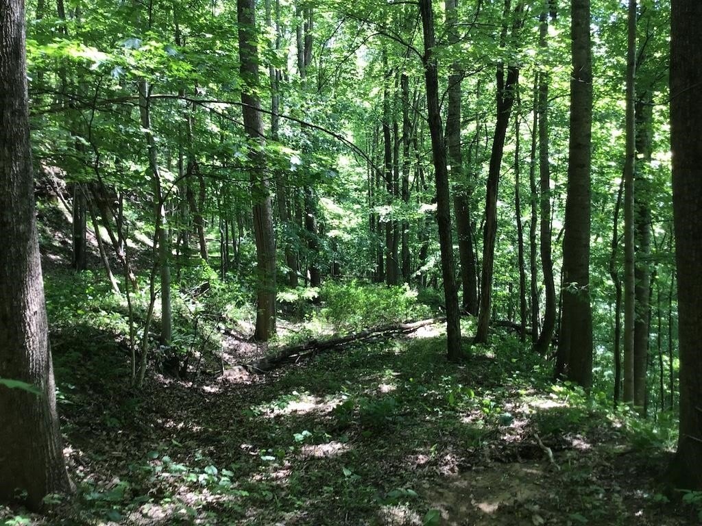
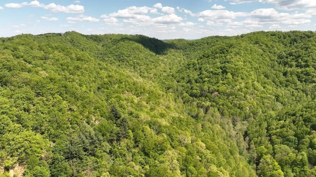
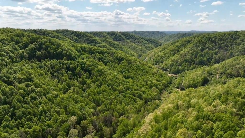
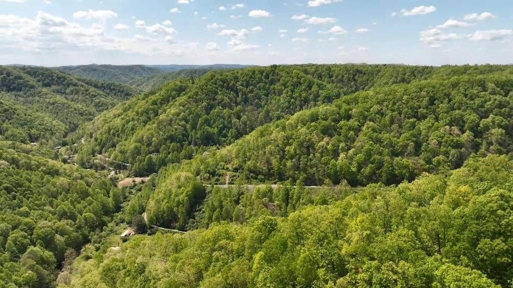
- 175‑acre mountain tract with Left Fork of Guess Fork frontage and bordering the WV state line ridge
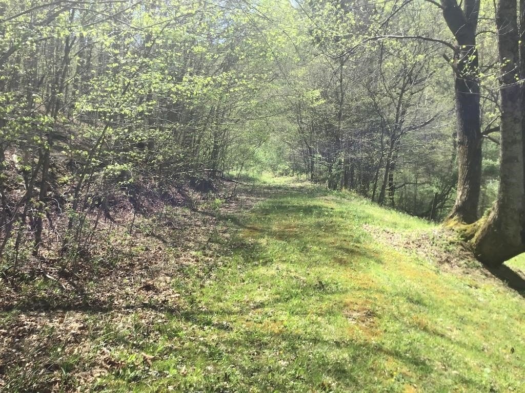
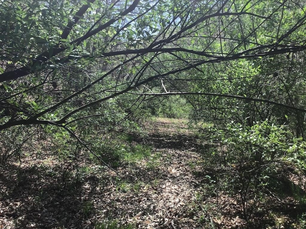
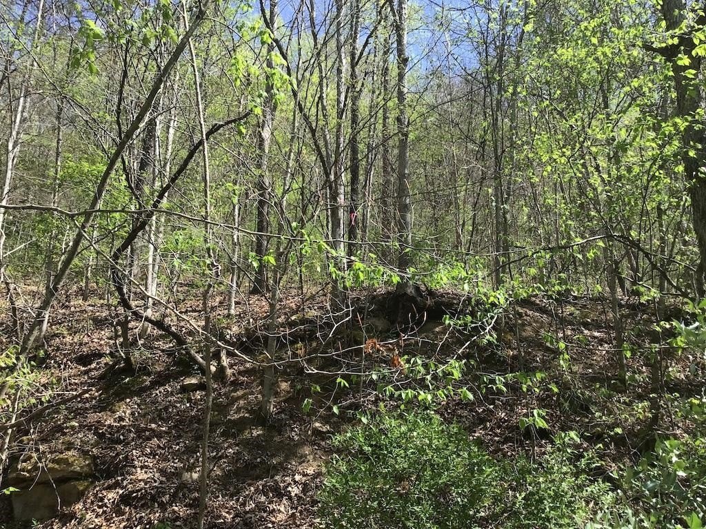
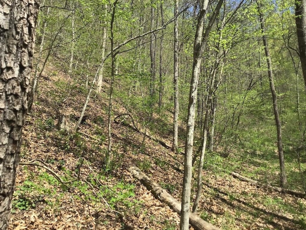
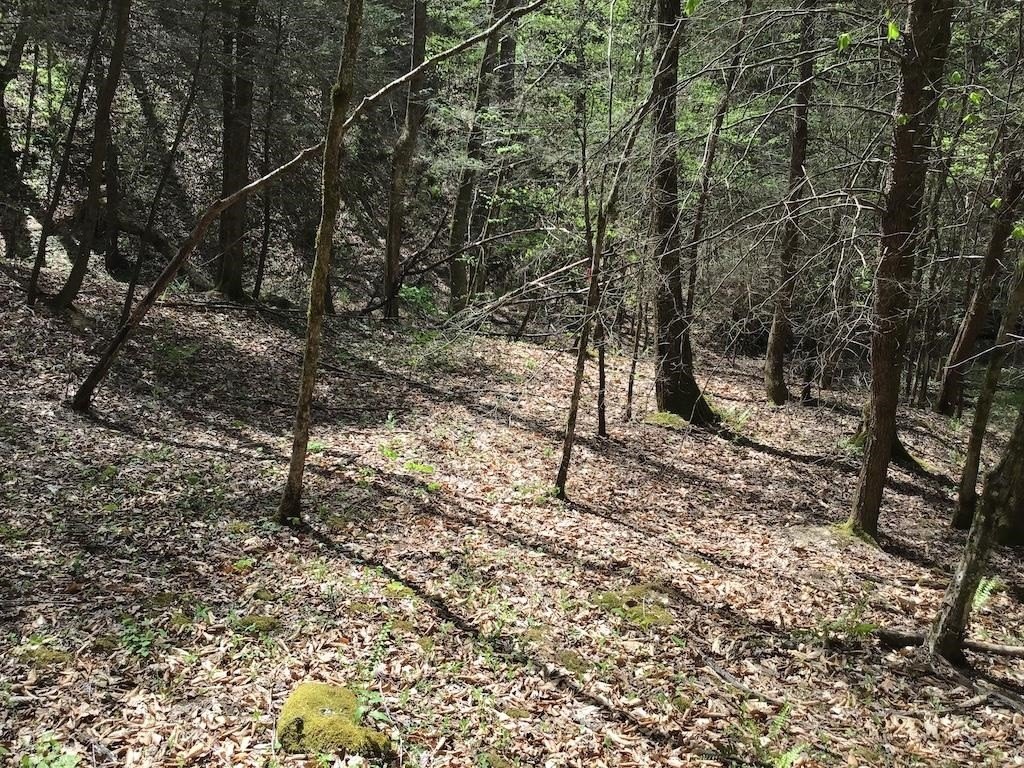
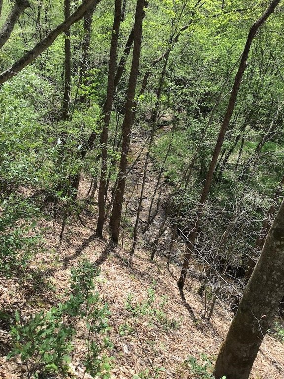
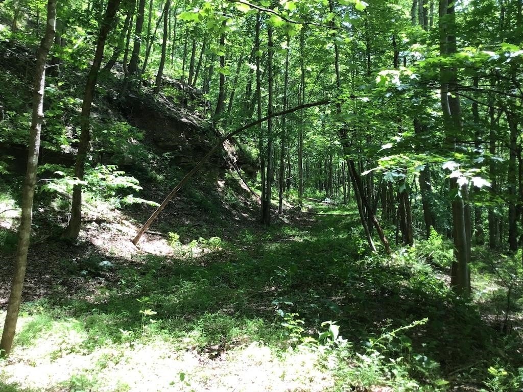
- South‑facing slopes with rock cliffs and a 1,700‑foot strip mine bench for potential hiking or scenic overlooks
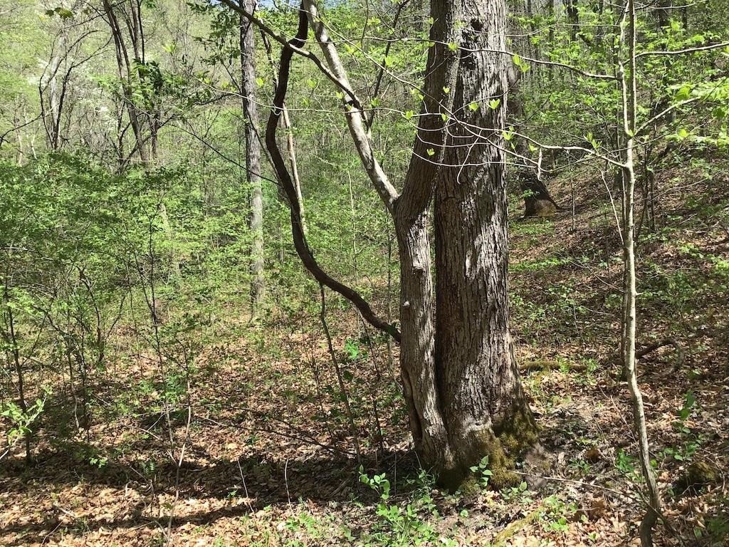
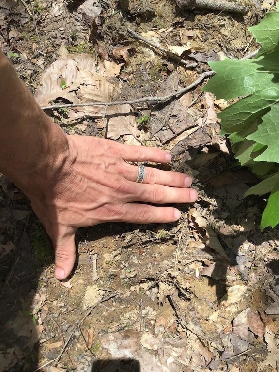
- Hunting recreation confirmed by observed signs of deer, bear, and turkey
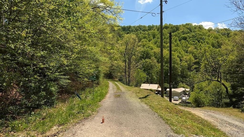
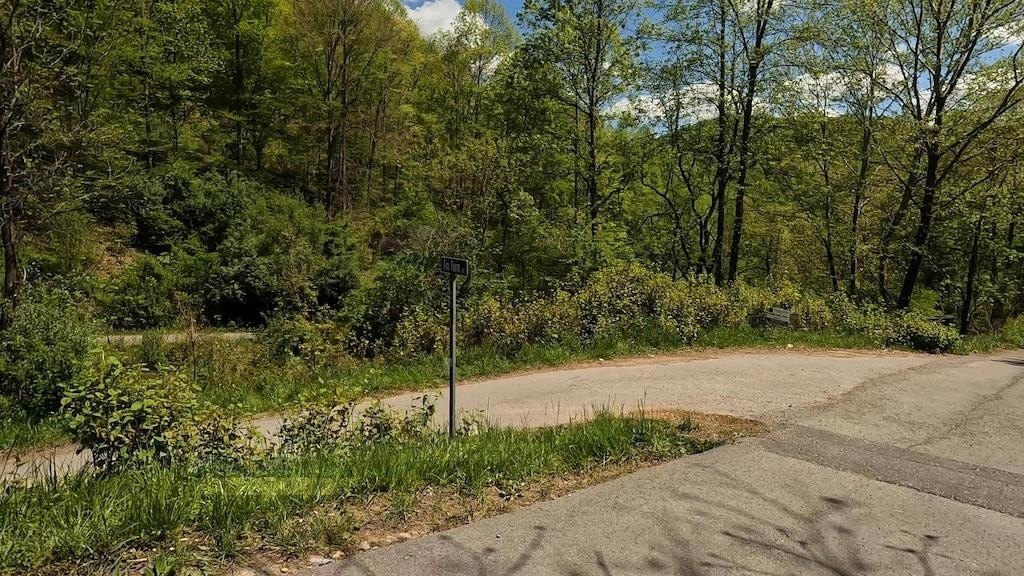
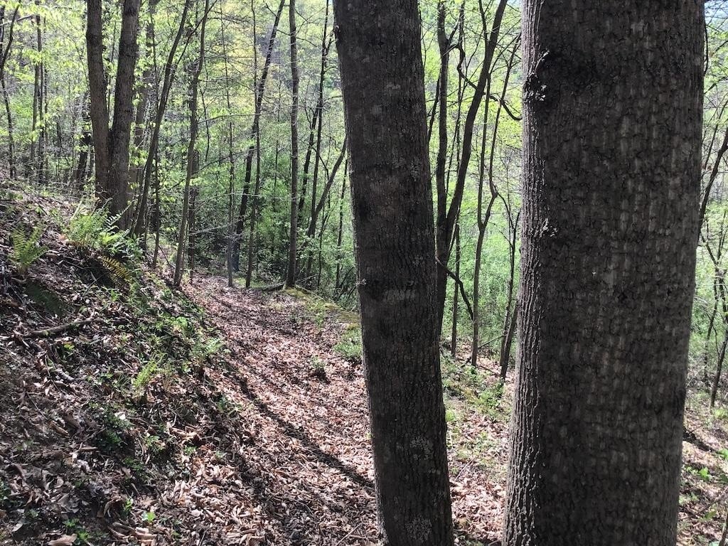
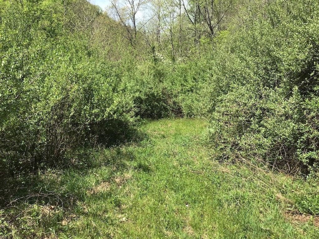
- Access via a 15' right of way off Fox Farm Rd
- Auction property: auction ends Friday, November 21 at 3 PM; list price is the starting bid
Overview
The tract is situated on the Left Fork of Guess Fork and borders the West Virginia state line ridge. It is accessed via a 15' right of way off Fox Farm Road. Based on the information provided, the acreage is positioned for buyers seeking privacy and an outdoor-oriented property with natural features suited to extended stays.
For buyers looking for off-grid style recreation land, this holding provides substantial acreage for hunting and trail development, along with natural elements like cliffs and a bench that can help shape visitor routes and viewpoints. The current configuration is raw land, and prospective buyers are directed to review the bidder packet for additional details related to the auction and property terms.
Current Use by Public Records
Map
- City
- Hurley
- County
- Buchanan
- State
- Virginia
- Longitude
- -82.0301
- Latitude
- 37.4151


