
Crooked Finger Rd, Scotts Mills, OR 97375

- Added:
- Aug 14, 2024
- Days on Market:
- 683
- Last Refresh:
- Jun 27 at 6:06 pm
Property Features for Crooked Finger Rd
General Information
- Property type
- Land
- Property subtype
- Other
- Zoning
- FT
- Standard status
- Active
- APN
- 538231
- Lot size
- 80.00 Acres
Taxes and HOA fees
- Tax Description
- ACRES 40, NW 1/4 OF SE 1/4
- Tax Annual Amount
- 637
Listing agent Dale Ropp License #940900089 (503) 400-7995
Listing office DAT Real Estate Solutions, PC 4660 Portland Rd NE Ste 103, Salem, OR (503) 400-7995
Listing date Aug 14, 2024
Copyright © 2026 Regional Multiple Listing Services. All rights reserved. All information provided by the listing agent/broker is deemed reliable but is not guaranteed and should be independently verified.
HighLights
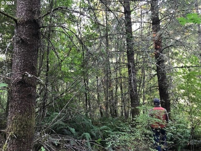
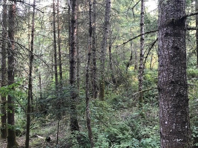
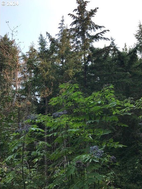
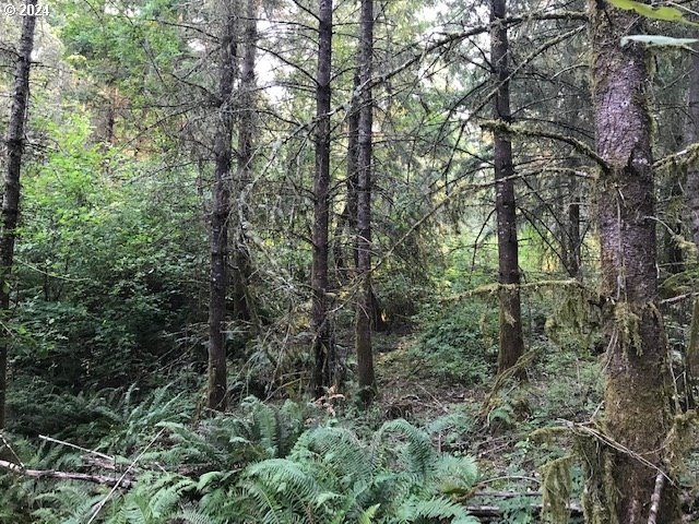
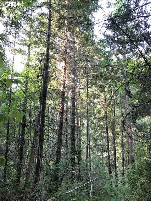
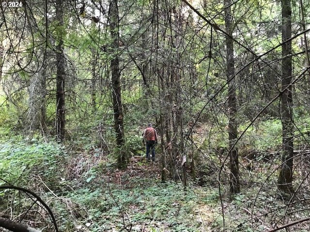
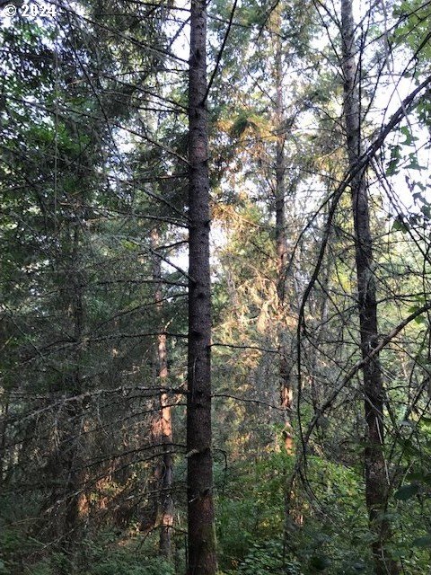
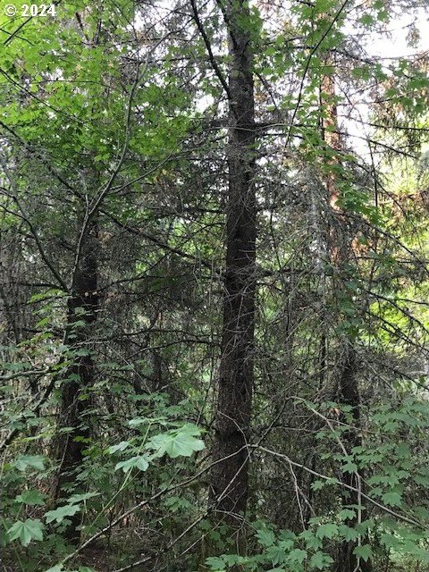
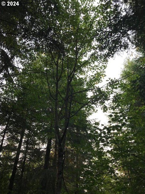
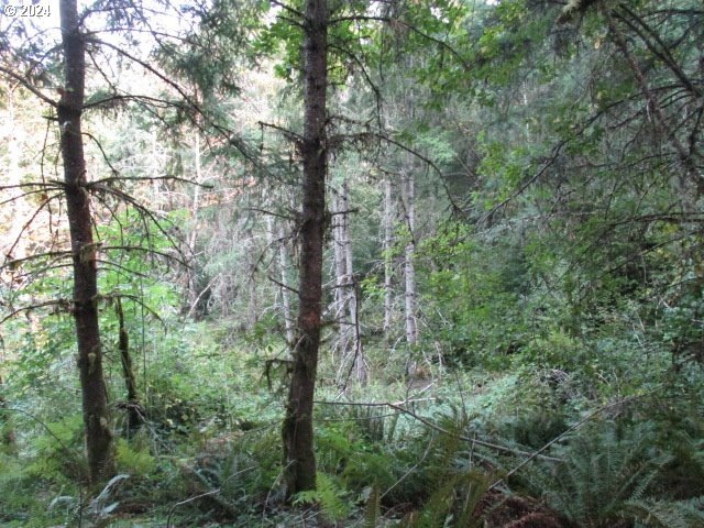
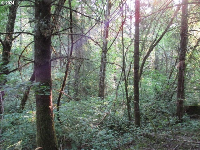
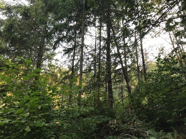
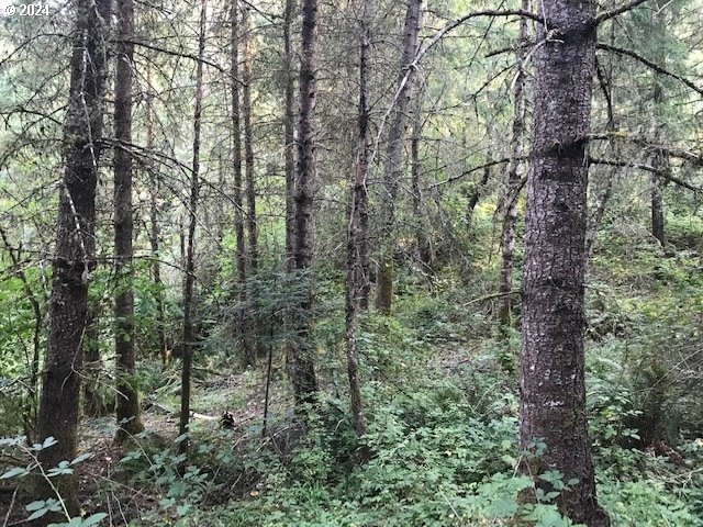
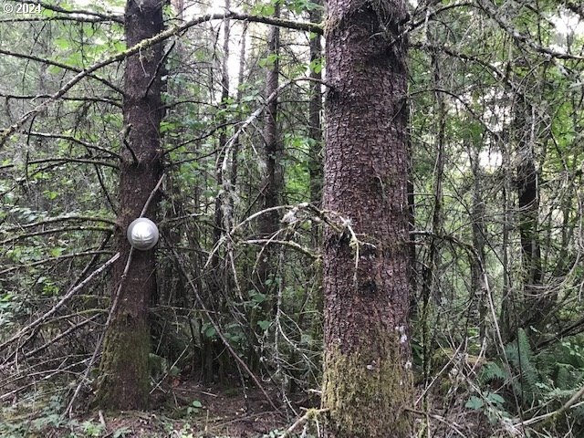
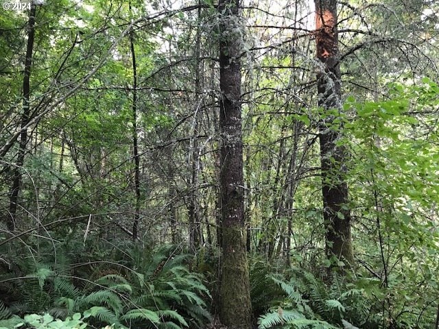
- 80 +/- acres of land.
- Located in a desired area between Crooked Finger Rd & Briar Knob Loop Rd.
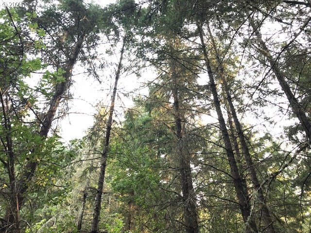
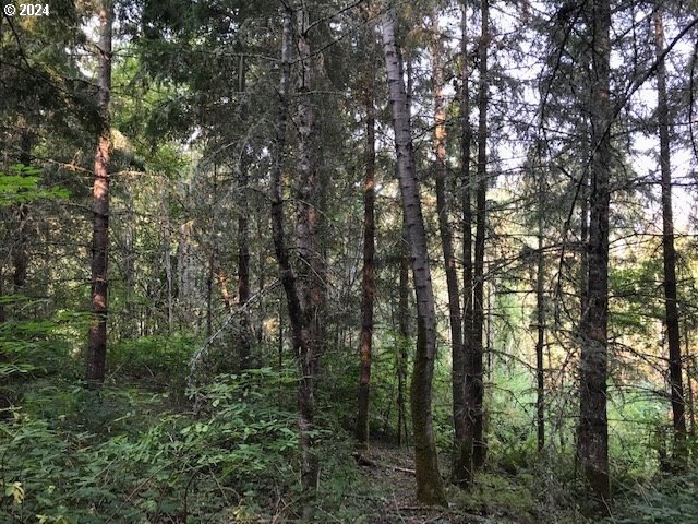
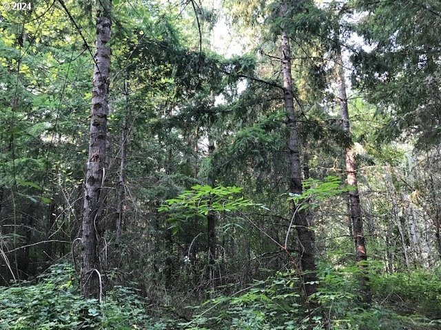
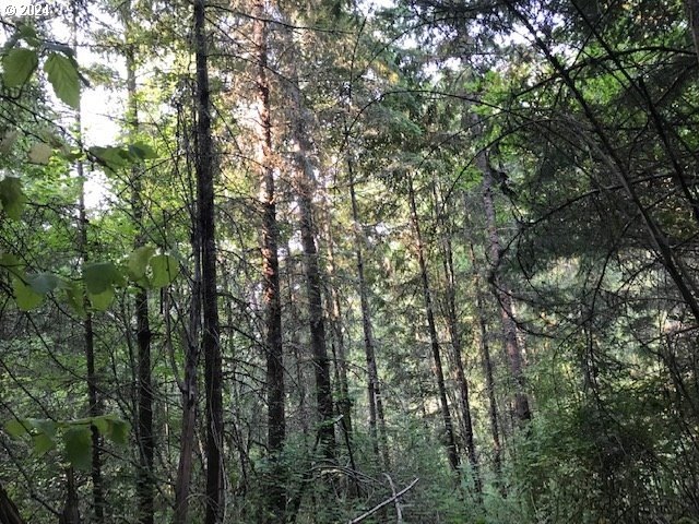
- Features 30‑31 year old fir trees.
- Includes large patches of hardwoods.
- Acreage is approximate.
- Coordinates provided for location.
Overview
The property is situated in an area described as highly desirable, positioned between Crooked Finger Rd and Briar Knob Loop Rd. The seller notes there are no recorded access agreements with surrounding neighbors. Prospective buyers are directed to perform their own due diligence regarding access requirements and whether any resulting lots may be buildable under Oregon law.
For buyers evaluating timberholdings or land with recreational and management potential, the existing mixed timber composition may be an important factor. Buyers considering development or any residential use should plan for careful independent review of legal access and buildability, since recorded access agreements are not shown and the property’s suitability for a home site is not supported by the available remarks.
Current Use by Public Records
Map
- City
- Scotts Mills
- County
- Marion
- State
- Oregon
- Longitude
- -122.629369
- Latitude
- 44.97367


