Conover Ln., Atkins, VA 24311
- Added:
- Jun 2, 2026
- Days on Market:
- 13
- Last Refresh:
- Jun 14 at 5:06 pm
Property Features for Conover Ln.
General Information
- Property type
- Land
- Property subtype
- Other
- Zoning
- A/R
- Standard status
- Active
- Lot size
- 39.49 Acres
Taxes and HOA fees
- Tax Year
- 2025
- Tax Annual Amount
- 227
Utilities
- Water front features
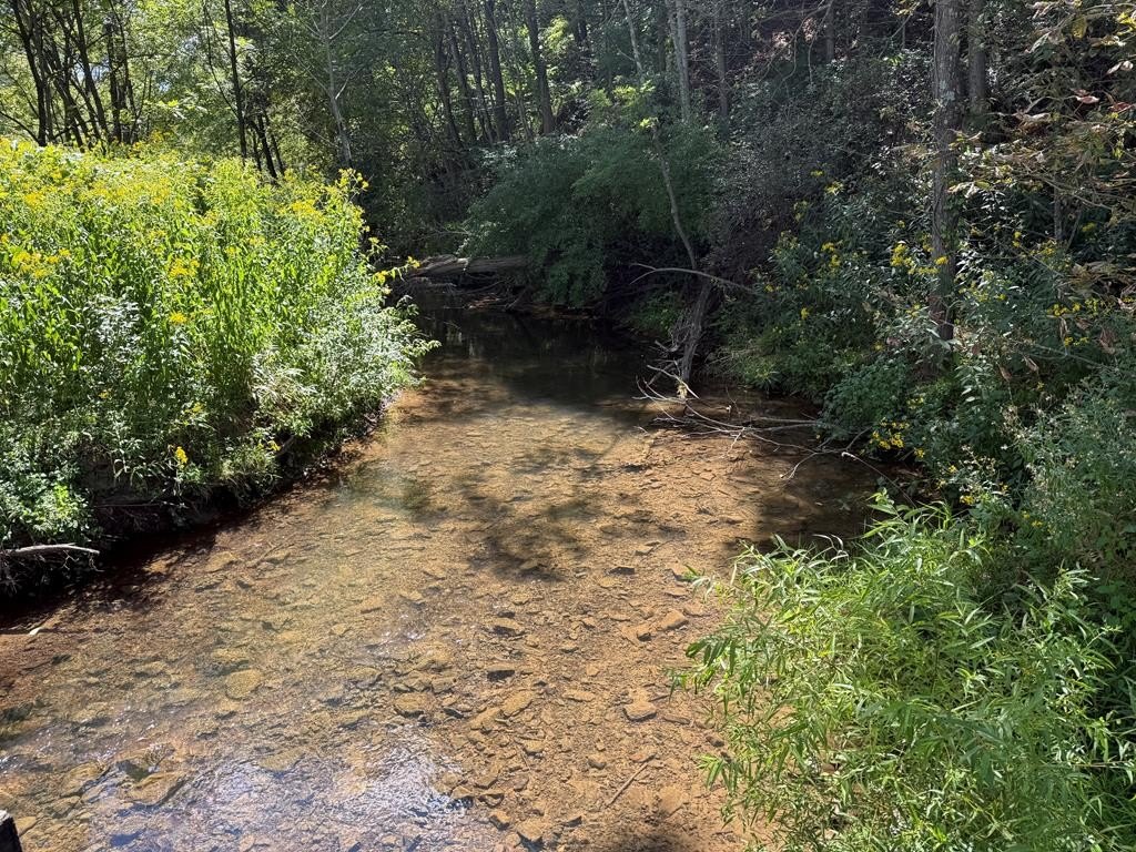
- Creek, Waterfront
- Water front
- 1
Listing agent Jonathan Stamper License #0225264256 (276) 781-8270
Listing office Appalachian Realty Co. 123 W Main St., Marion, VA (276) 783-5173
Listing date Jun 2, 2026
Copyright © 2026 Southwest Virginia Association of Realtors. All rights reserved. All information provided by the listing agent/broker is deemed reliable but is not guaranteed and should be independently verified.
HighLights
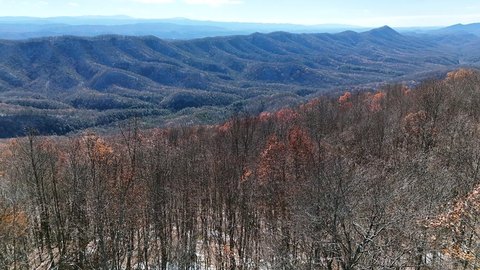
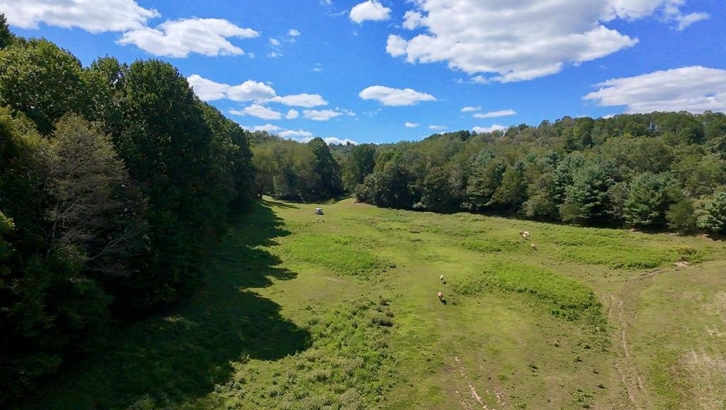
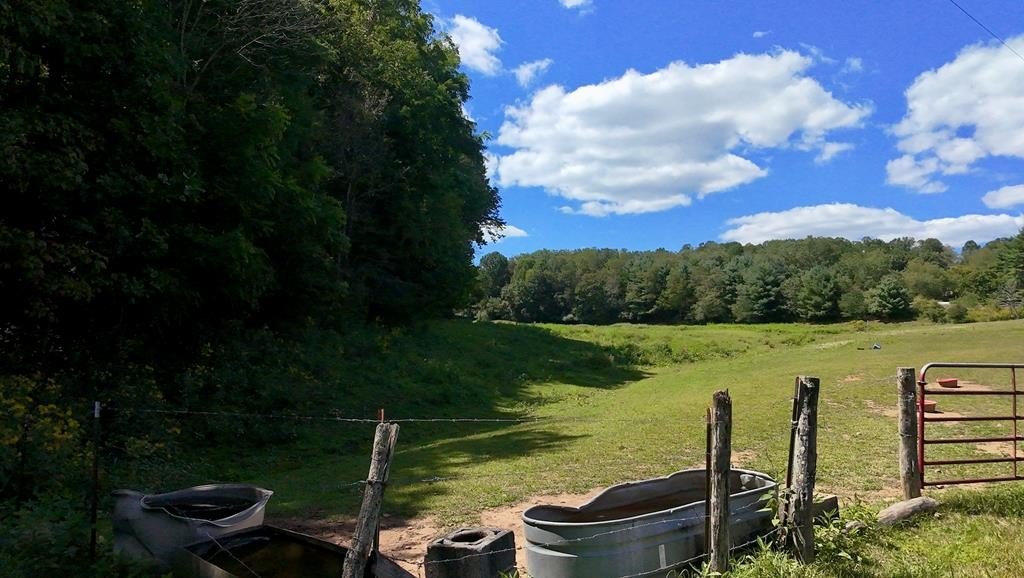
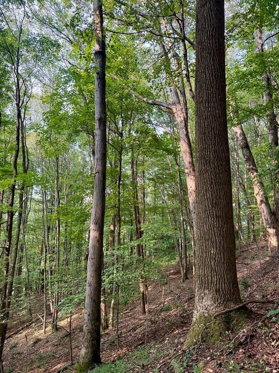
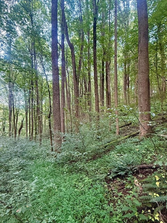
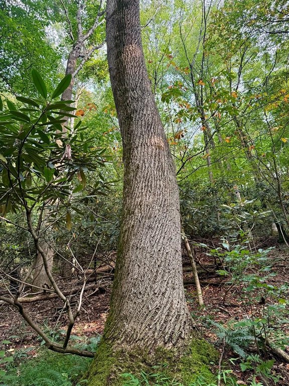
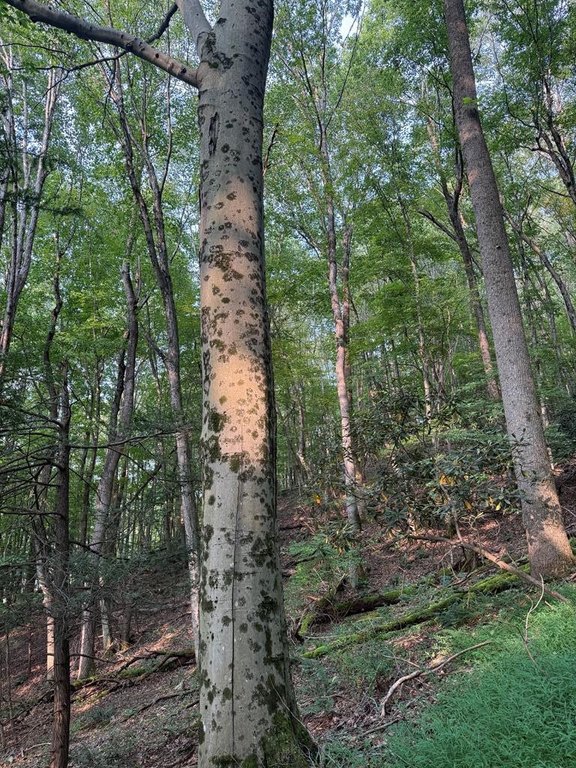
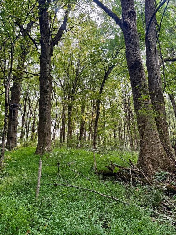
- 39.49‑acre tract in the Atkins/Groseclose area with a mix of cleared and wooded land
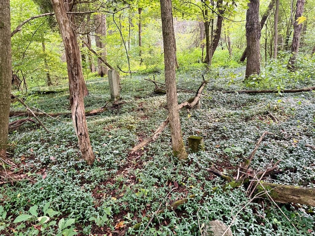
- Middle Fork of the Holston River headwaters flow through the property for approximately 70 ft
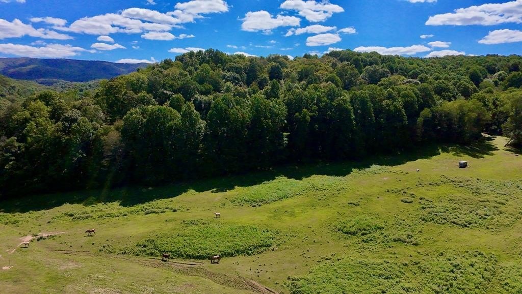
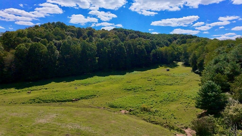
- Approximately 7 acres used as horse pasture; the remainder is undeveloped forest
- Known for abundant wildlife, including a thriving deer population
- Located less than 1 mile from the Appalachian Trail and Jefferson National Forest/Mt. Rogers National Recreation Area
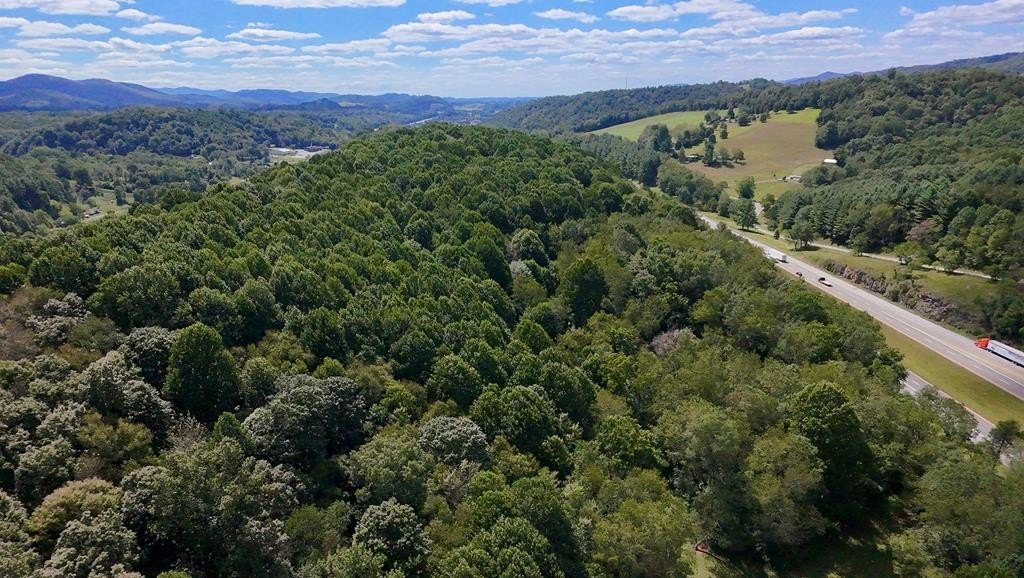
- Borders I‑81 and is about 10 miles from Marion or Rural Retreat
Overview
Set in the Atkins/Groseclose area near the Appalachian Trail and Jefferson National Forest/Mt. Rogers National Recreation Area, the property is also described as known for abundant wildlife, including a thriving deer population. The tract is convenient to I-81 and is only about 10 miles from Marion or Rural Retreat.
The existing horse pasture makes the property particularly workable for equestrian use, while the surrounding undeveloped forest supports hunting and other outdoor-oriented recreation. With room for farming and potential building consistent with the A/R zoning designation, this offering provides a versatile layout for buyers seeking a rural land base that combines pasture, timber, and river headwaters.
Current Use by Public Records
Map
- City
- Atkins
- County
- Smyth
- State
- Virginia
- Longitude
- -81.3826585
- Latitude
- 36.8814735