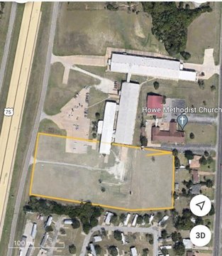
Bennett Road, Howe, TX 75459
- Added:
- Mar 17, 2026
- Days on Market:
- 99
- Last Refresh:
- Jun 23 at 11:06 pm
Property Features for Bennett Road
General Information
- Property type
- Land
- Property subtype
- Other
- Standard status
- Active
- APN
- 356186
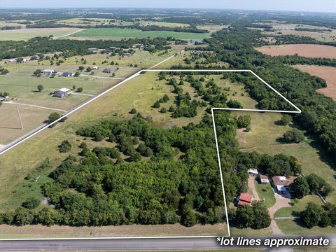
- Lot size
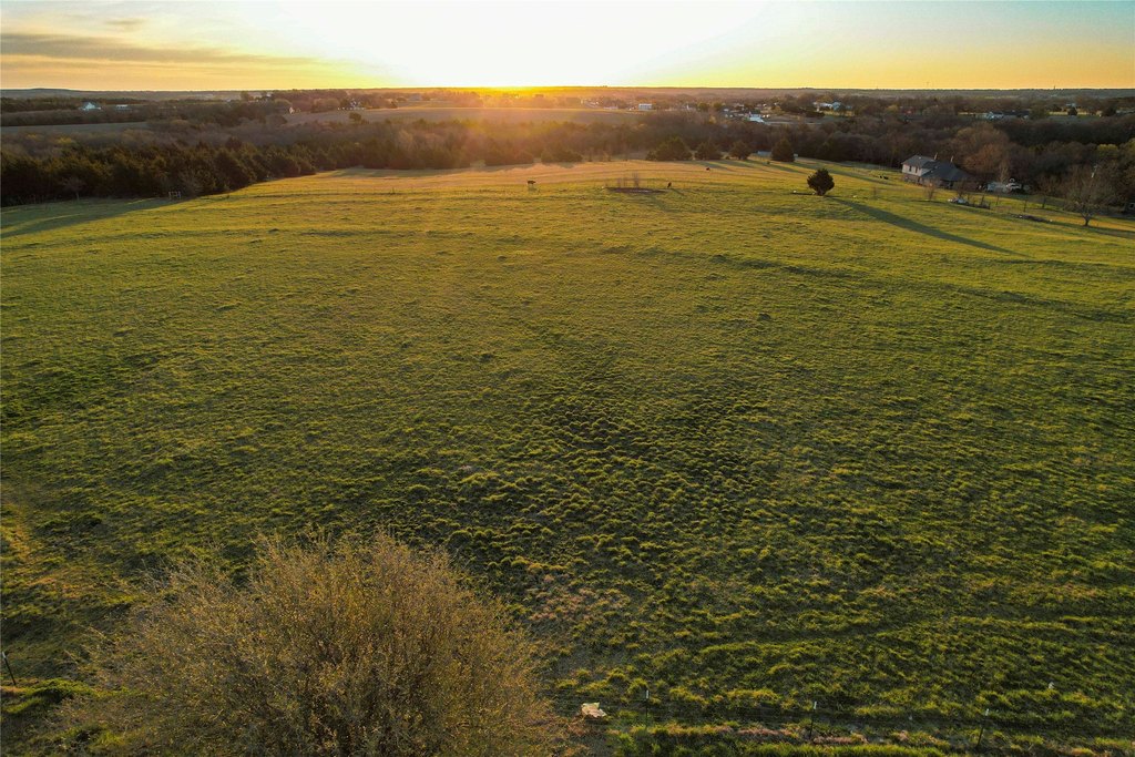
- 5.63 Acres
Taxes and HOA fees
- Tax Description
- G-0774 MCDANIEL JEREMIAH A-G0774, ACRES 5.628
- Tax Annual Amount
- 4
Listing agent Corey Baumann License #0803877 (830) 428-0096
Listing office Whitetail Properties Real Estate Boerne, TX (217) 285-9000
Listing date Mar 17, 2026
Copyright © 2026 North Texas Real Estate Information Systems, Inc. All rights reserved. All information provided by the listing agent/broker is deemed reliable but is not guaranteed and should be independently verified.
HighLights
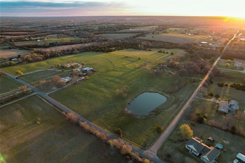
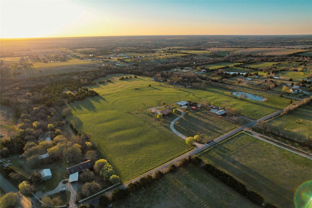
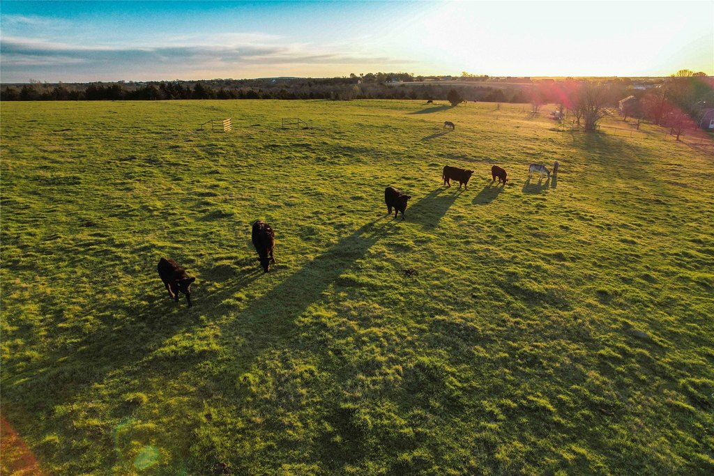
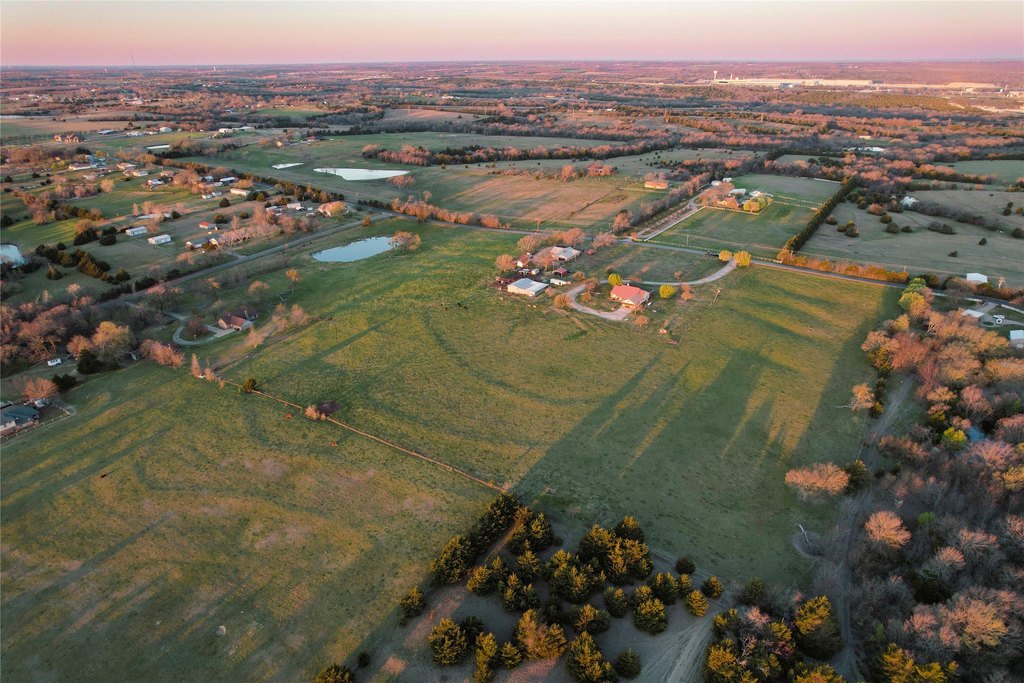
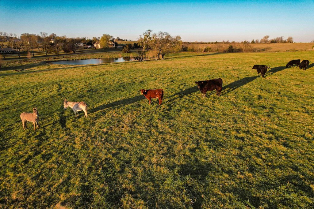
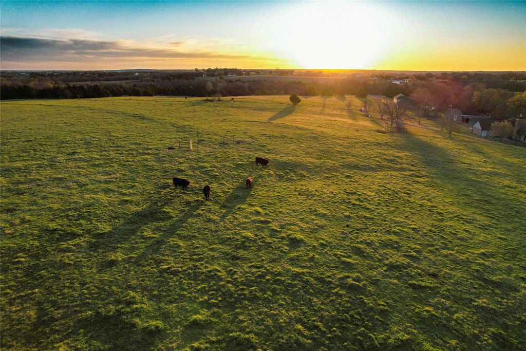
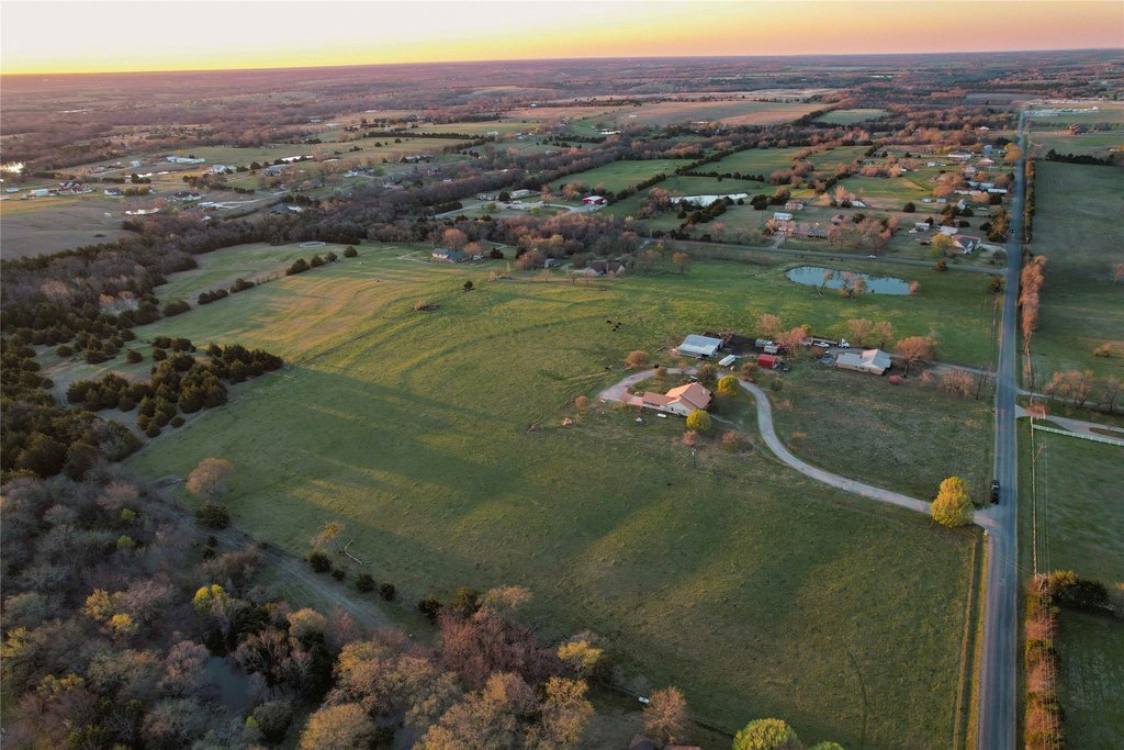
- Grayson County, TX land tract with approximately 250 ft of road frontage for access and potential entry points.
- Public water and electricity are available along the road, supporting future improvements to connect with utilities.
- Partially AG exempt for potential tax advantage for qualifying agricultural use.
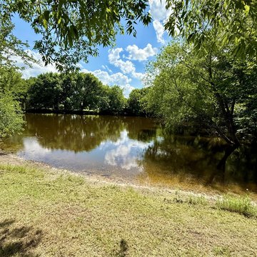
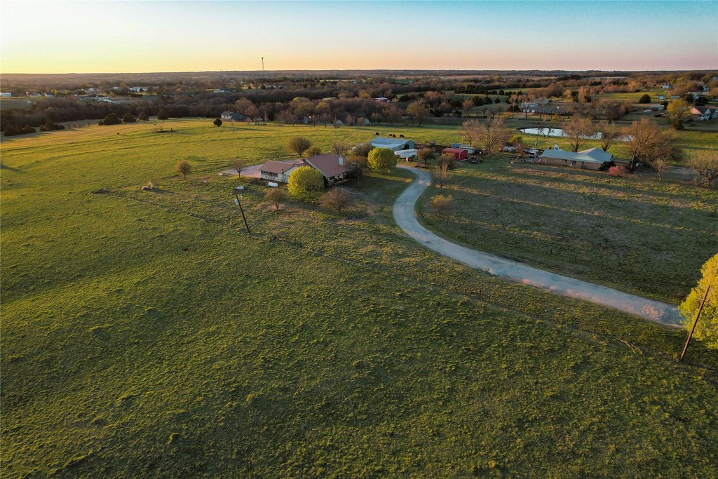
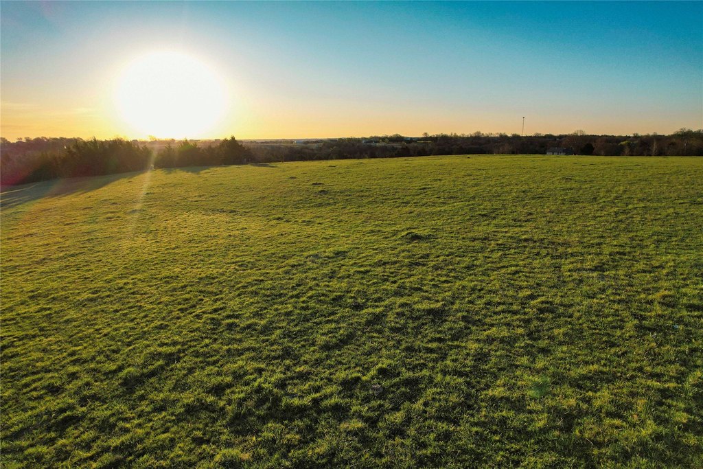
- Rolling hills and natural topography offer visibility and flexible options for land‑use planning.
- Near Sherman: about 8 miles to downtown Sherman; about 20 miles to downtown Denison.
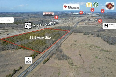
- Proximity to major roads and employers: ~2 miles to Highway 11, ~3 miles to Highway 75 and Texas Instruments, and ~14 miles to Highway 82.
Overview
The tract is located near Sherman, placing it within reach of major transportation corridors and community services. It is approximately 2 miles from Highway 11, about 3 miles from Highway 75 and the Texas Instruments facility, and roughly 14 miles from Highway 82. Downtown Sherman is about 8 miles away, while downtown Denison is approximately 20 miles from the property. This proximity positions the land within an area benefiting from growth in and around Sherman and along expanding Highway 11.
With road access, available utilities, and agricultural characteristics, the property may appeal to buyers looking to hold for long-term value or to plan a home site or other development in alignment with local requirements. For investors and operators, the combination of workable terrain and utility availability supports a range of potential land use directions based on end goals.
Current Use by Public Records
Map
- City
- Howe
- County
- Grayson
- State
- Texas
- Longitude
- -96.583453
- Latitude
- 33.531351