8028 Caratoke Highway, Powells Point, NC 27966
- Added:
- Jun 4, 2026
- Days on Market:
- 1
- Last Refresh:
- Jun 4 at 4:06 pm
Property Features for 8028 Caratoke Highway
General Information
- Property type
- Commercial Sale
- Property subtype
- Other
- Zoning
- HI
- Standard status
- Active
- Lot size
- 9.90 Acres
Taxes and HOA fees
- Tax Year
- 2025
- Tax Annual Amount
- 1153

Listing agent Karen Etheridge License #192289 (252) 202-3073
Listing office Sun Realty - Kitty Hawk / Currituck 6385 N Croatan Hwy Suite 101, Kill Devil Hills, NC (252) 261-3892
Listing date Jun 4, 2026
Copyright © 2026 Outer Banks Association of Realtors®. All rights reserved. All information provided by the listing agent/broker is deemed reliable but is not guaranteed and should be independently verified.
HighLights
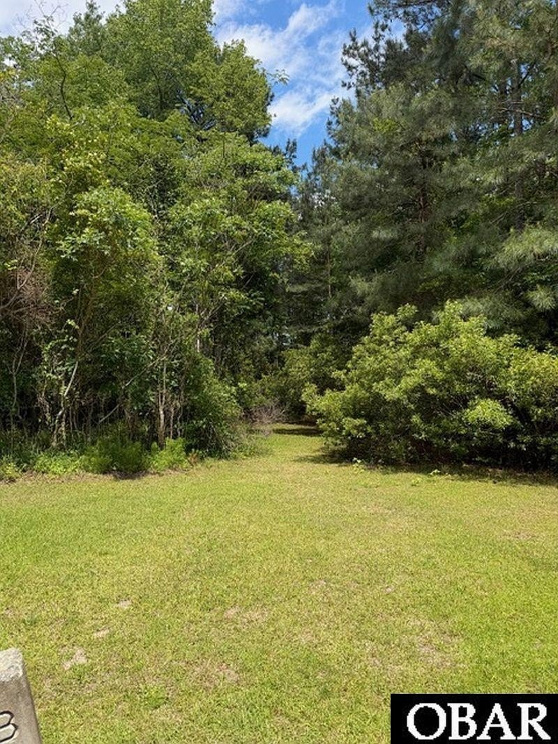
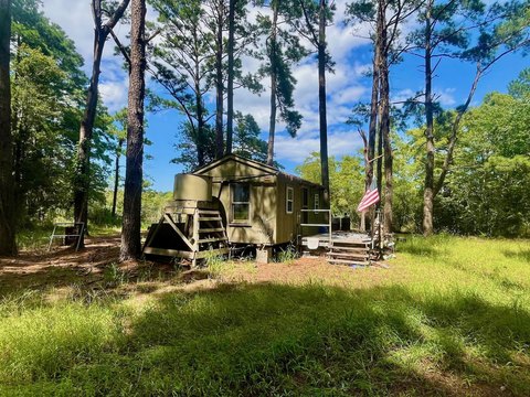
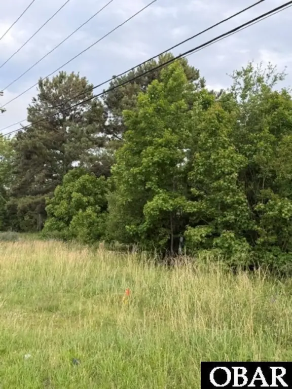
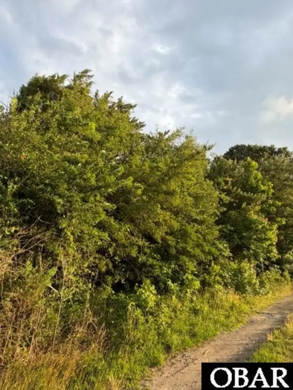
- Approx. 10 acres with Heavy Industrial zoning for commercial and industrial development.
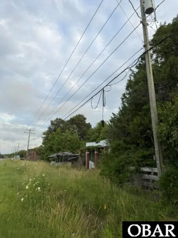
- Approx. 300 feet of highway frontage for visibility and direct roadside access.
- Located in an "X" flood zone.
- Expansive acreage with room for buildings, equipment storage, parking, or future expansion.
- Quick highway access to the Outer Banks for transportation and logistics use.
Overview
The address is 8028 Caratoke Highway in Currituck County, NC. The property’s reported highway frontage and convenient highway access are positioned to support a range of transportation- and logistics-oriented operations. The parcel is also described as being close to quick access to the Outer Banks.
Given the HI heavy industrial zoning and the combination of acreage and frontage, this land may be a workable fit for industrial and contractor-oriented uses that require room for buildings, equipment storage, parking, or future expansion. For buyers and brokers, the site’s reported flood zone designation and highway frontage are practical considerations when evaluating development planning, access, and operational footprint. Interested parties should confirm zoning details and allowable uses with the local jurisdiction prior to planning or application.
Current Use by Public Records
Location Insight
- Map
- Local Demand
- City
- Powells Point
- County
- Currituck
- State
- North Carolina
- Longitude
- -75.843583
- Latitude
- 36.141979