Overview
83.20 Acres on Historic Route 66
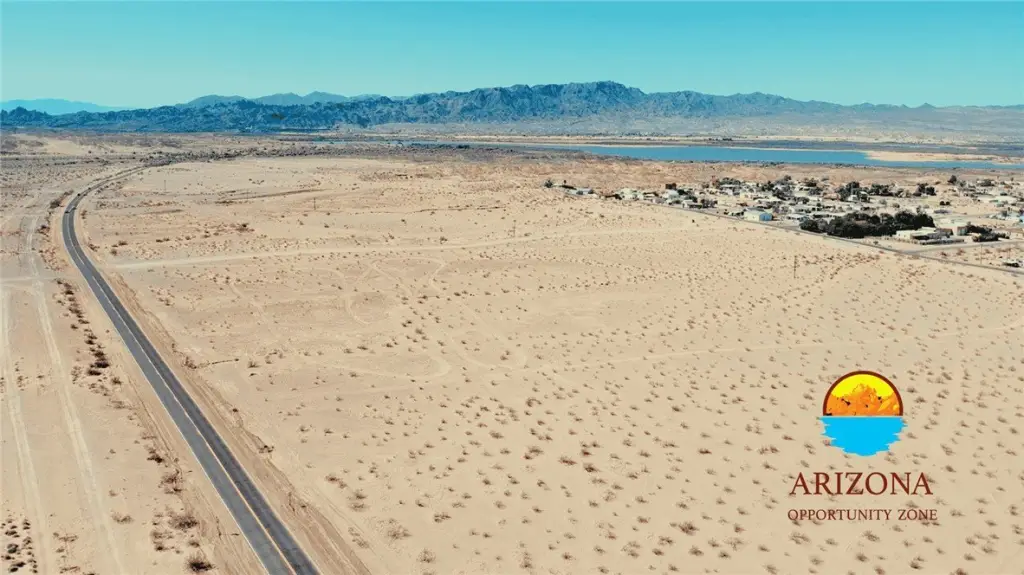
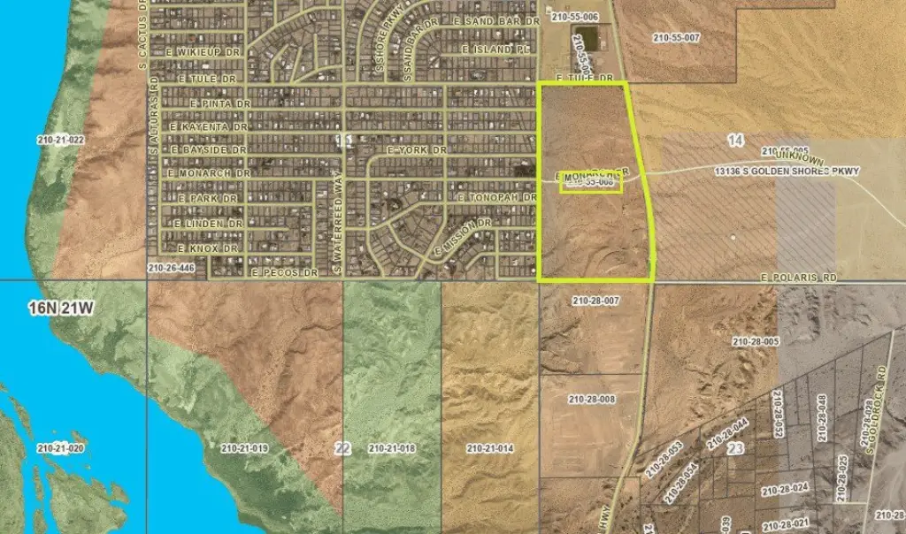
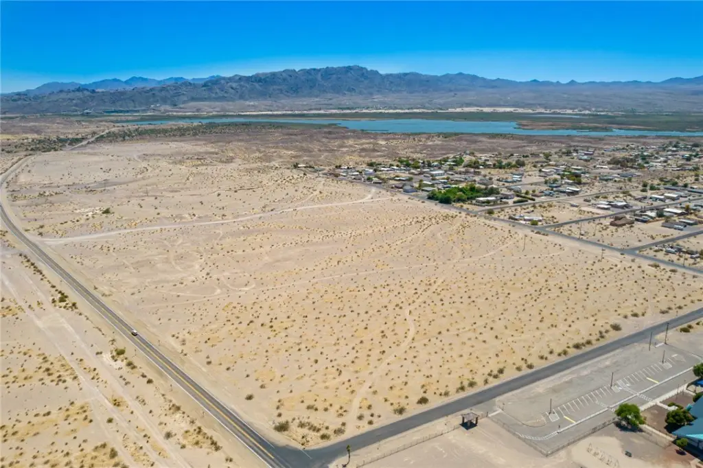
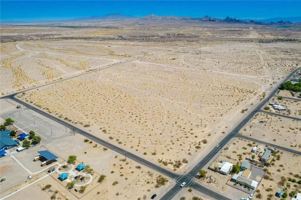
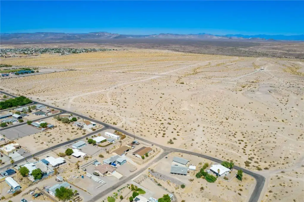
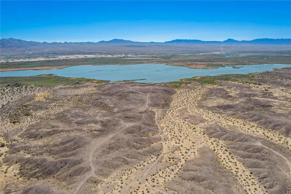
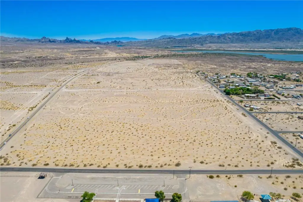
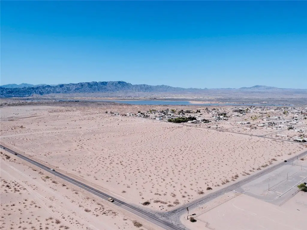
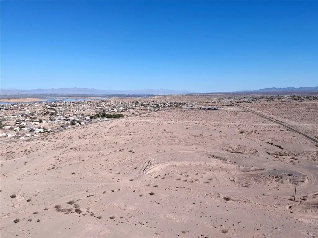
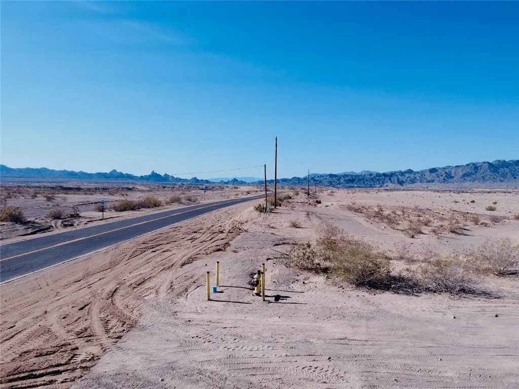
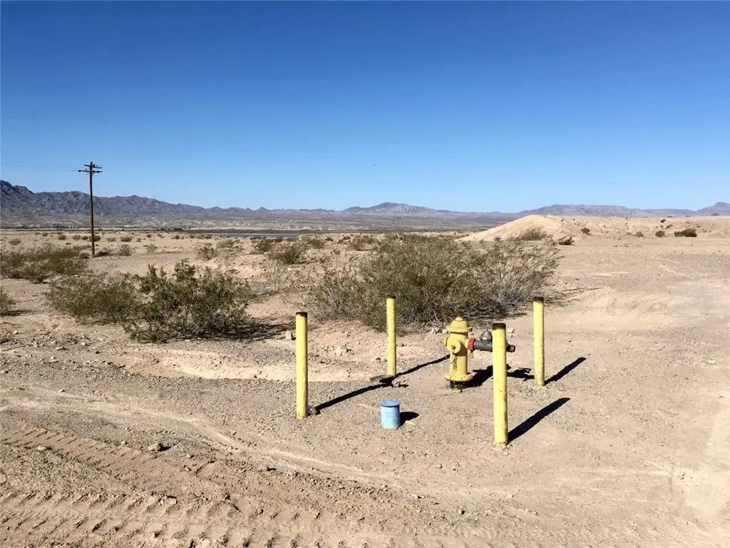
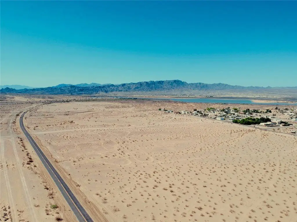
This 83.20-acre parcel is located directly along Historic Route 66 in Topock, Arizona, overlooking the Havasu National Wildlife Refuge and Colorado River corridor. The property is positioned within a federally designated Qualified Opportunity Zone, making it a prime investment for mixed-use development, including single-family or workforce housing, an RV park or campground, commercial storage, retail, or a combination of uses. Zoned A-R (Agricultural Residential) under the Mohave County General Plan with Urban Development and Light Industrial designations, the site features nearly 1/2 mile of frontage along Route 66 with paved access on two sides. Utilities are to and through the property, including power, high-speed internet, natural gas, and water service. Golden Shores Water Company has issued a will serve letter, and ADWR previously approved a 100-year Colorado River water supply for the former Topock Village Estates plat. Entirely located in FEMA Zone X (outside the floodplain), the land sits at approximately 600 elevation and offers unobstructed panoramic views of Topock Bay and surrounding mountains. The property is ideally situated near the communities of Golden Shores and Topock, just minutes from Topock66 Marina & Restaurant, and centrally located between Lake Havasu City, Bullhead City, Laughlin, and Needles. With strong regional growth, recreational amenities, and over 145,000 residents within a 35-mile radius, this parcel presents a rare large-scale development opportunity in Mohave County. It enjoys quick access to I-40, nearby schools, fire department, post office, and local businesses. Endless outdoor recreation surrounds the area with boating, fishing, off-roading, and wildlife exploration all within minutes. The property provides the land, location, and infrastructure to bring a vision to life, whether that vision is a residential community, destination RV resort, or mixed-use investment blending homes, storage, and retail. More land is available to the south of this parcel held by the same owner, for a total of 169 acres if desired.