Missouri Ozarks Homestead with
3385 County Road 5615, Bunker, MO 63629

Farm, Rustic - Bunker, MO
Type:Farm
Property size:
2,730 SFLot size:
80.00 AcresPrice / SF:
$347/SF- Added:
- Apr 24, 2026
- Days on Market:
- 39
- Last Refresh:
- Jun 1 at 8:06 pm
Property Features for 3385 County Road 5615
General Information
- Property type
- Farm
- Property subtype
- Farm
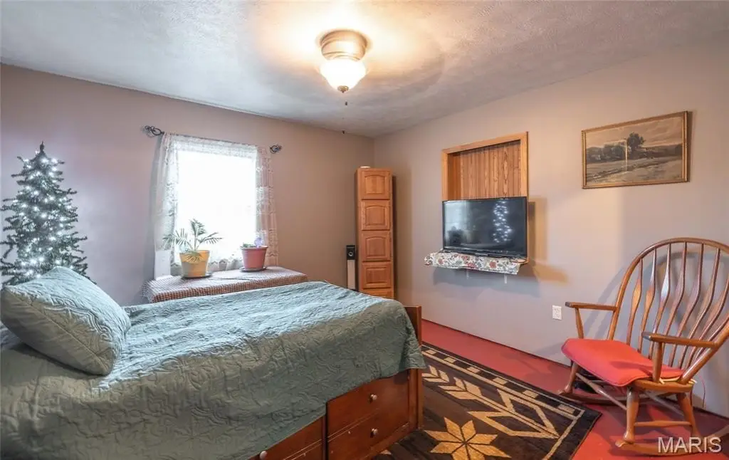
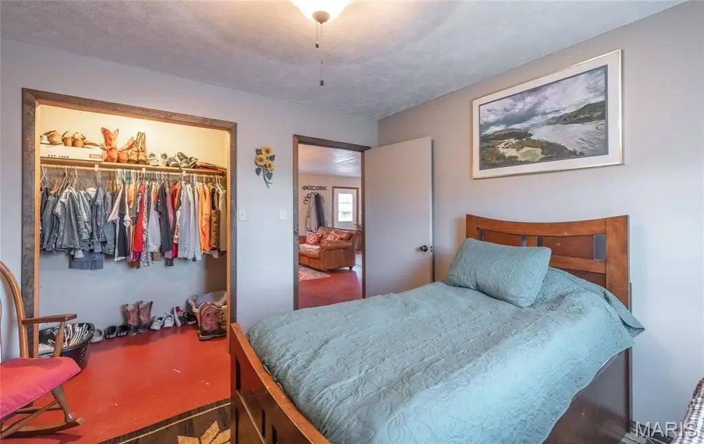
- Bedrooms
- 4
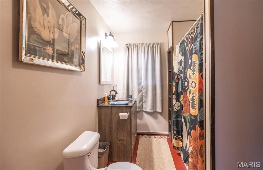
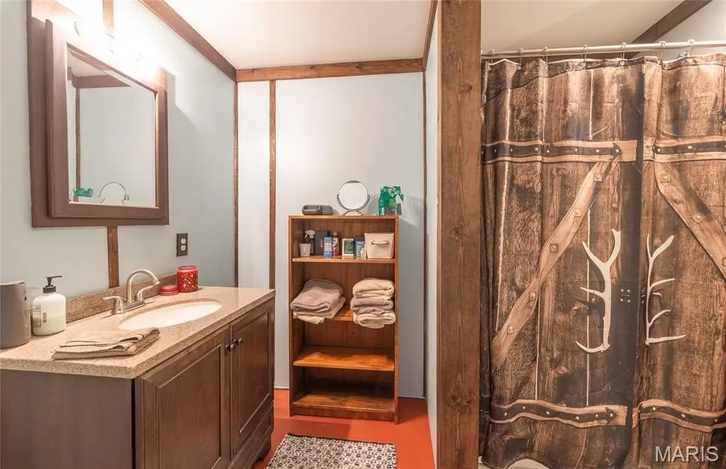
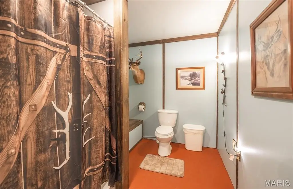
- Bathrooms
- 2
- Rooms
- Bathroom 1, Bathroom 2, Bedroom 1, Bedroom 2, Bedroom 3, Bedroom 4
- Interior features
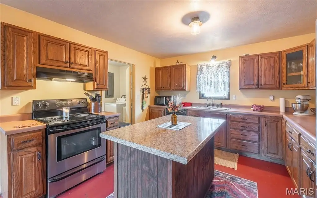
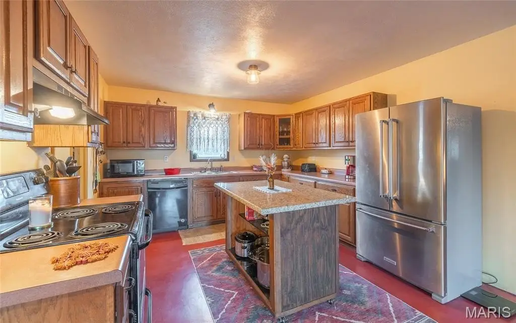
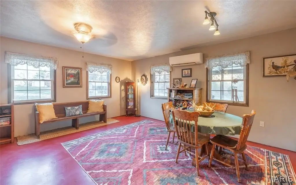
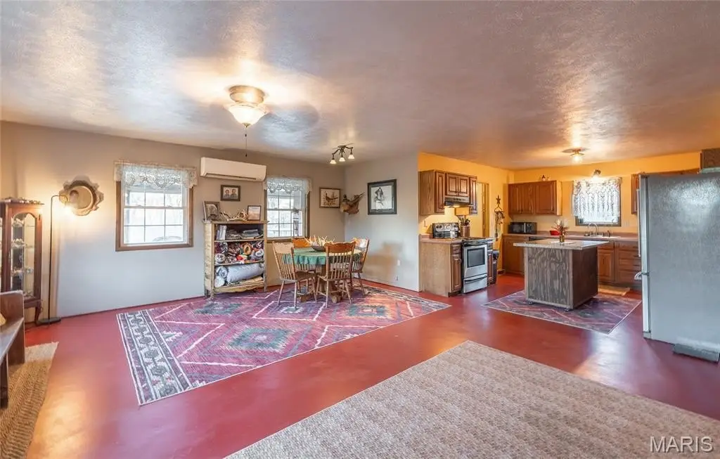
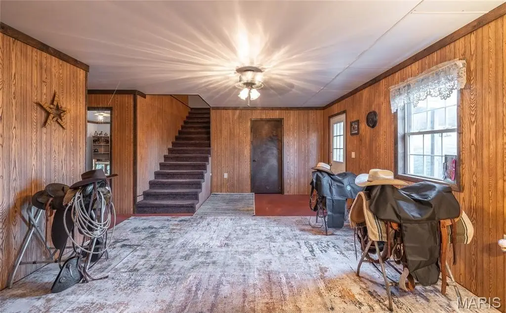
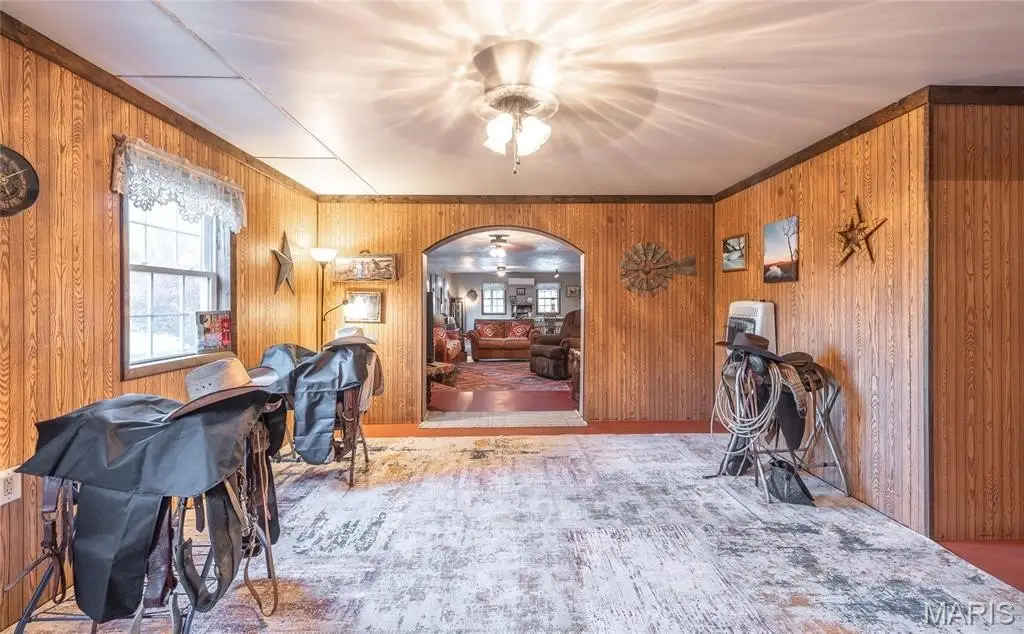
- Country Kitchen, Dining/Living Room Combo, Kitchen Island, Kitchen/Dining Room Combo, Open Floorplan
- Standard status
- Active
- APN
- 21-4.0-20-0-00-002.000
- Size
- 2,730 SF
- Lot size
- 80.00 Acres
Taxes and HOA fees
- Tax Year
- 2025
- Tax Annual Amount
- 956
Utilities
- Heating system
- Ductless (Heating)
- Cooling system
- Central Air
- Water front features
- Creek, Waterfront
- Water front
- 1
Building Details
- Year built
- 2004
- Building materials
- Frame, Metal Siding
- Roof type
- Metal
- Architectural style
- Rustic

Listing agent Kelly Johnston License #2013027356 (314) 412-2288
Listing office Whitaker Marketing Group 101 US Hwy 69, Ames, MO (515) 996-5263
Listing date Apr 24, 2026
MLS# 26002449
Listing URL
Copyright © 2026 Mid America Regional Information Systems, Inc. All rights reserved. All information provided by the listing agent/broker is deemed reliable but is not guaranteed and should be independently verified.
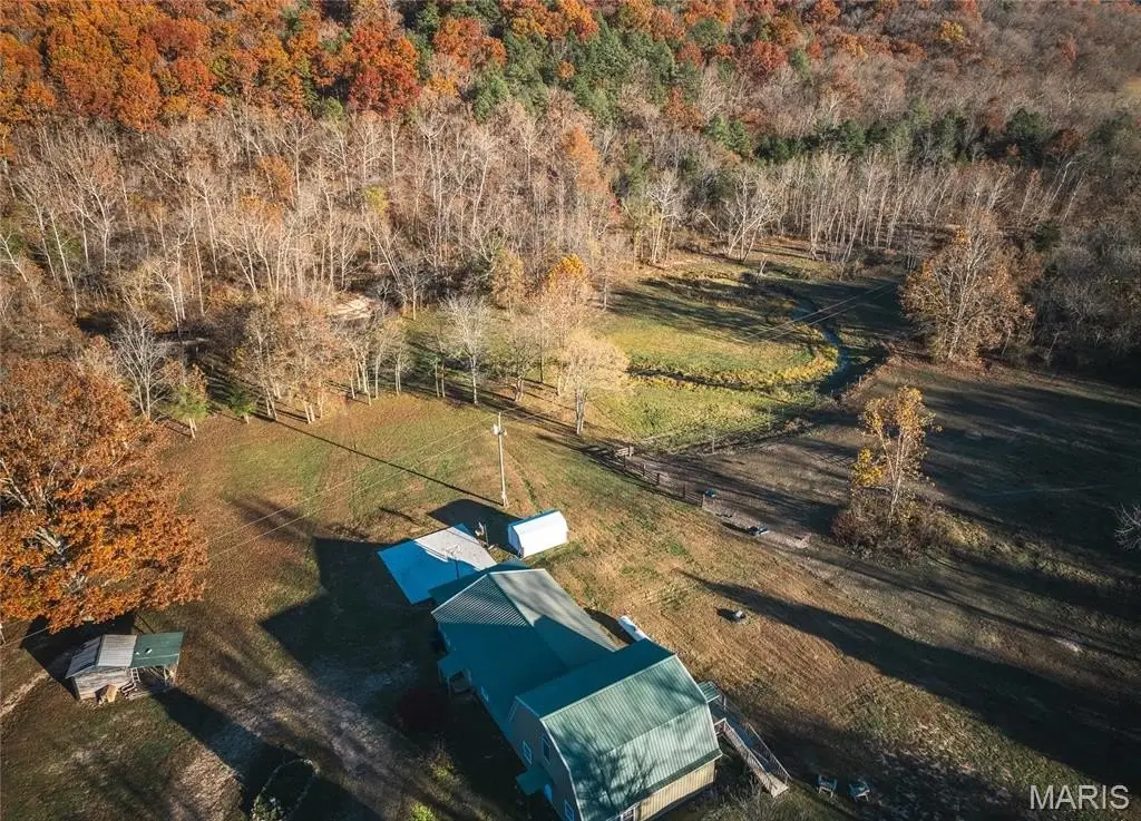
HighLights
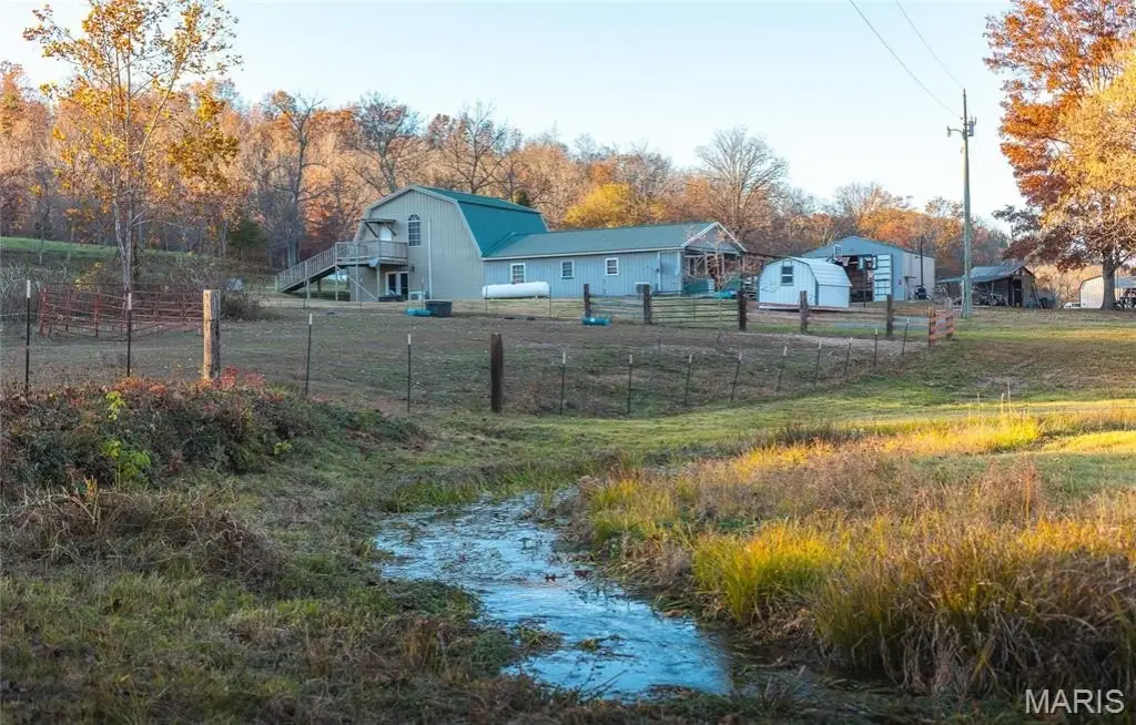
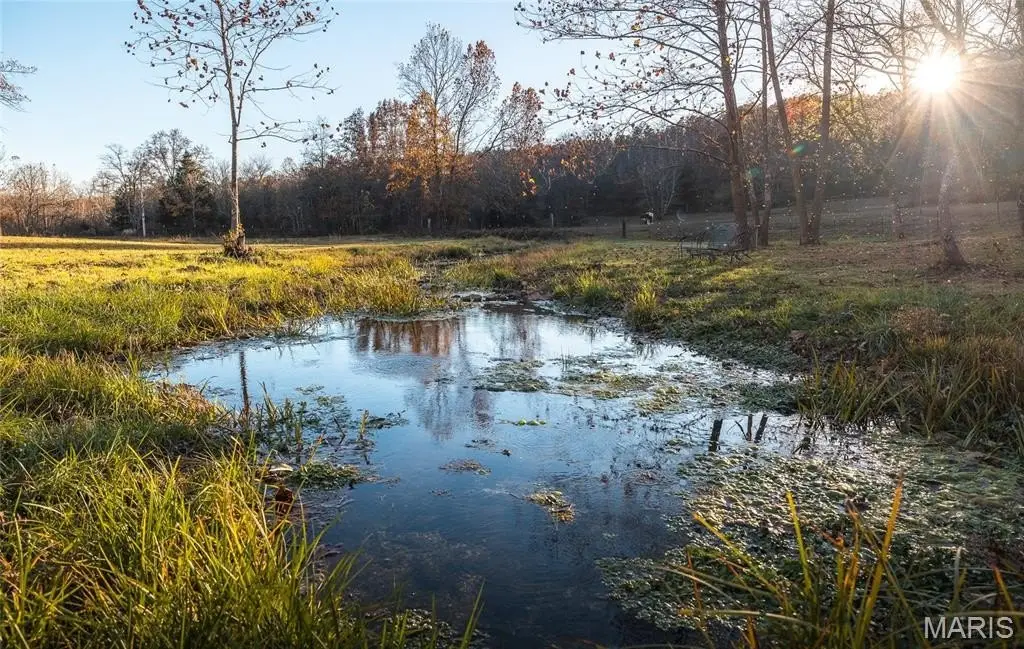
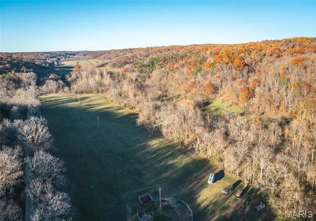
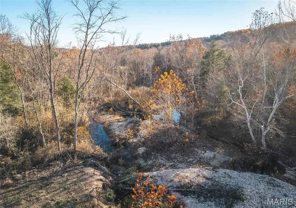
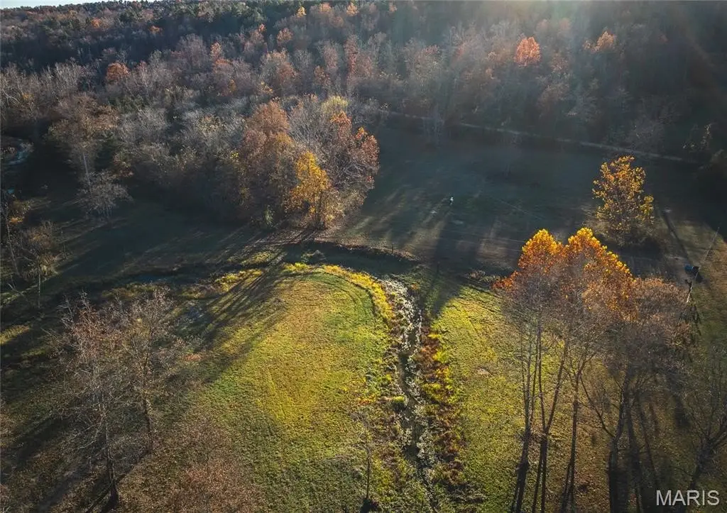
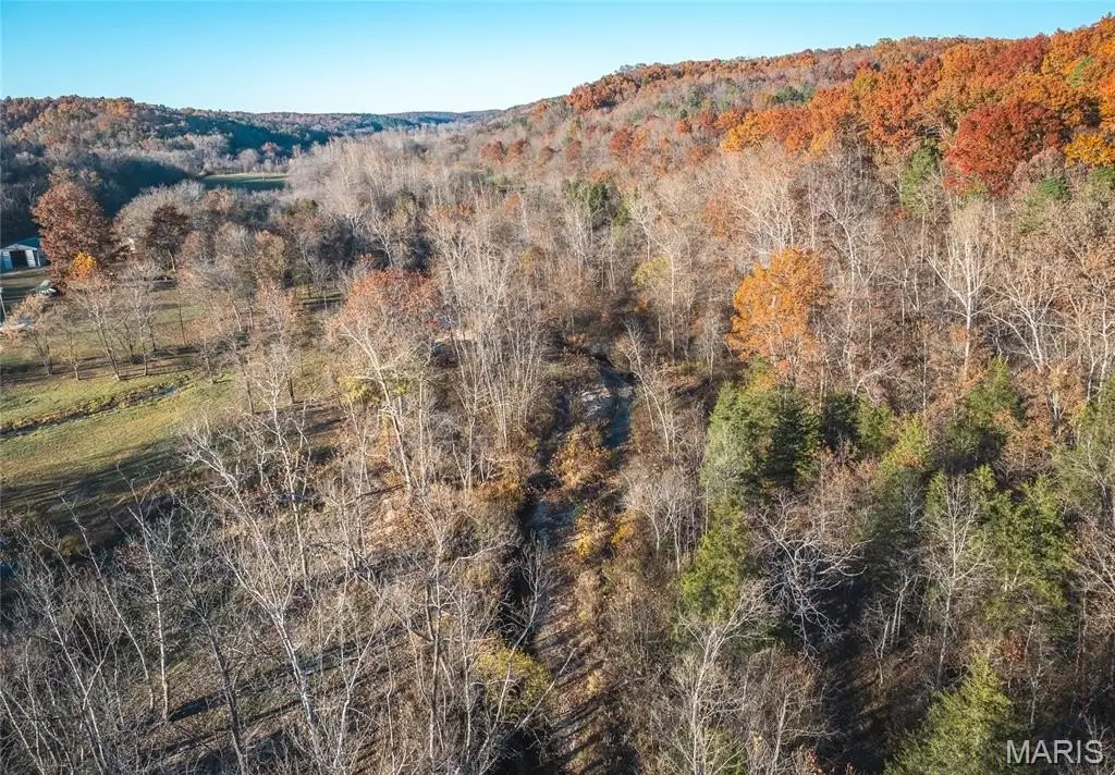
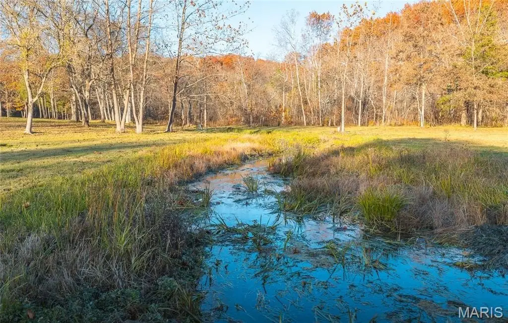
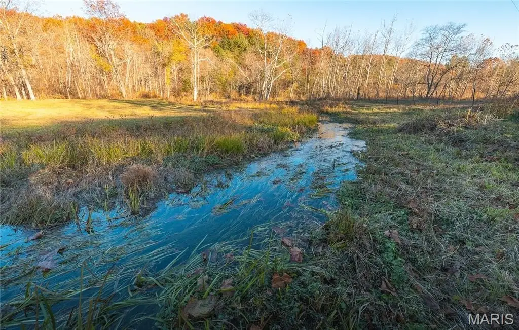
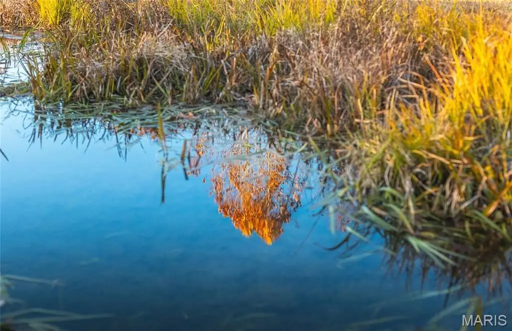
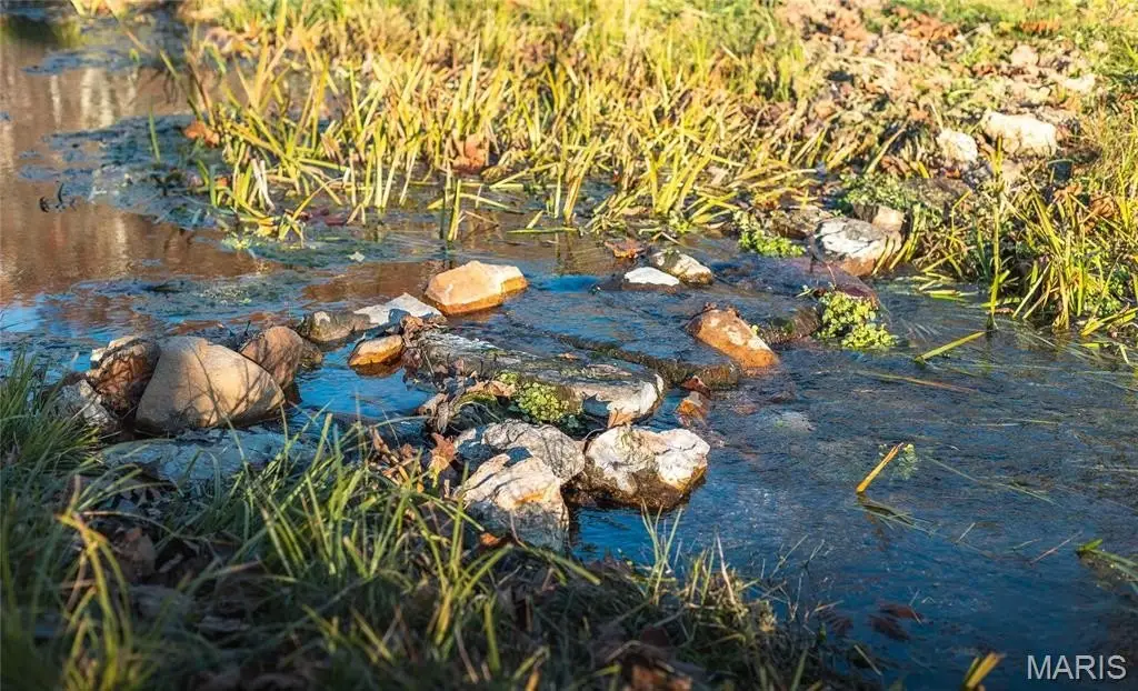
- Verified 900‑gallon‑per‑minute natural spring feeding into a private section of Sinking Creek, providing over half a mile of creek frontage and abundant water resources.
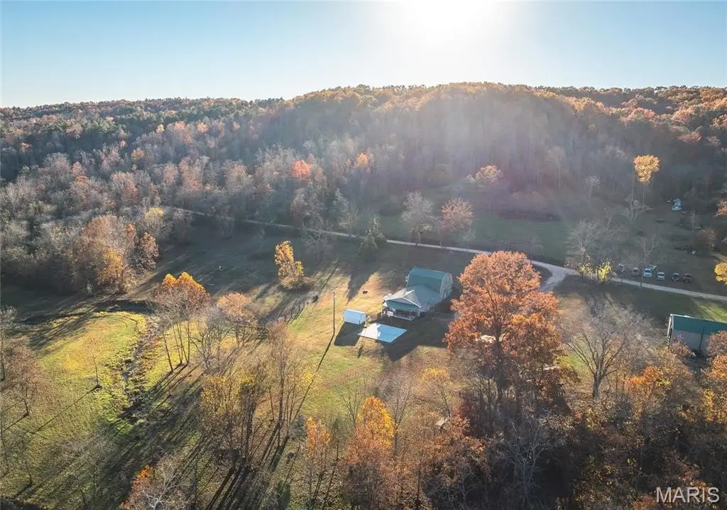
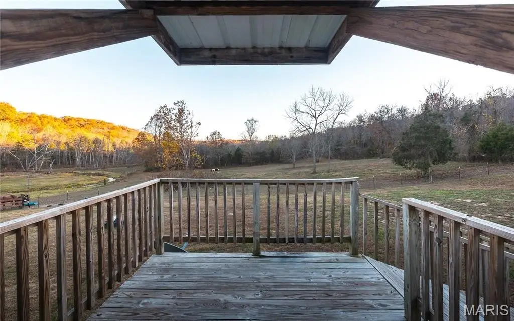
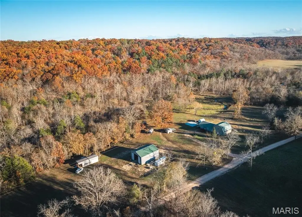
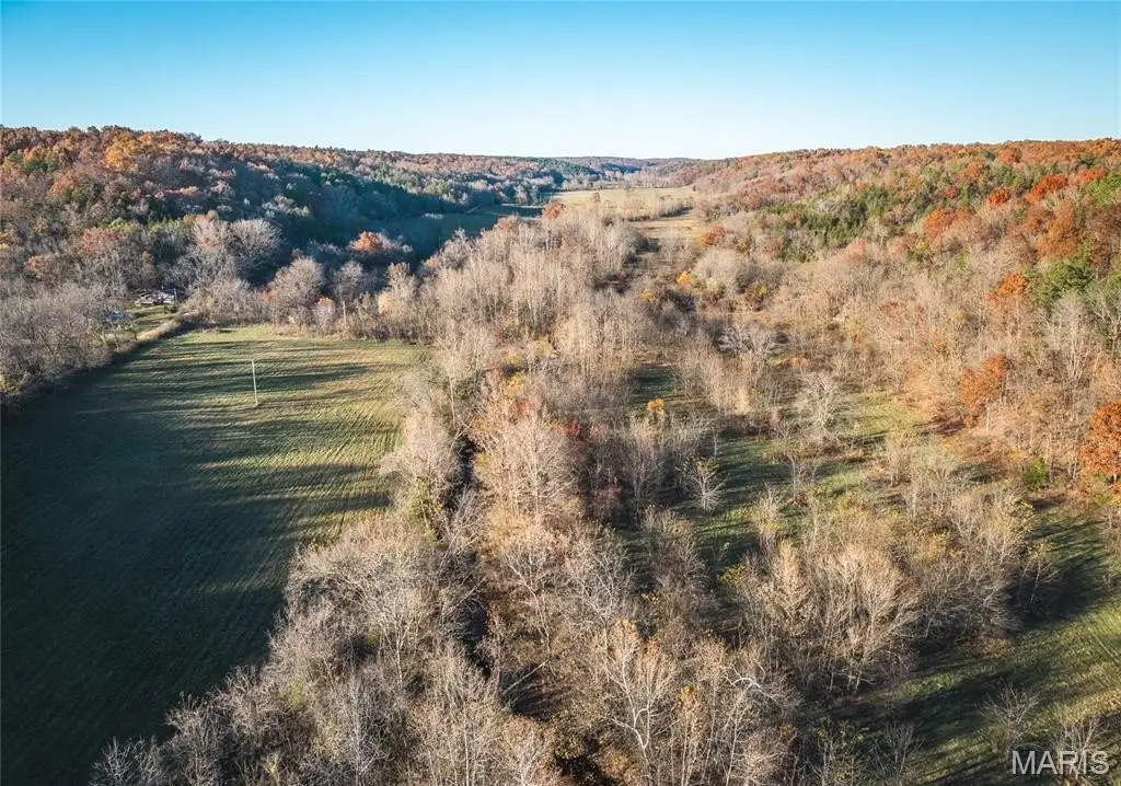
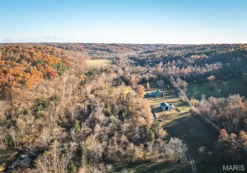
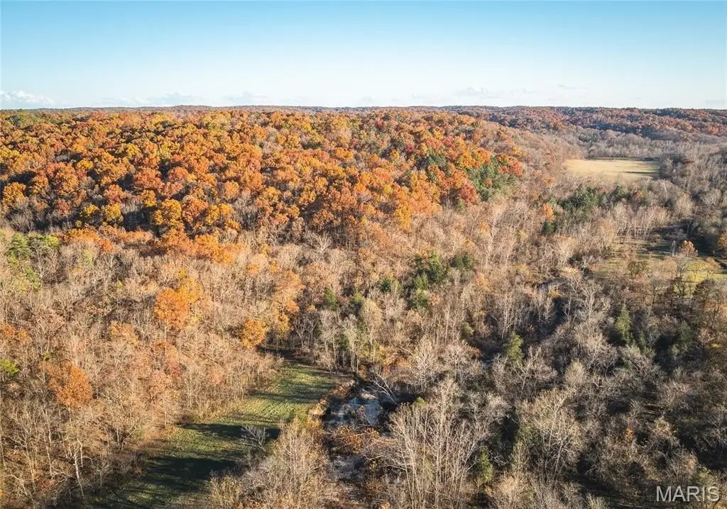
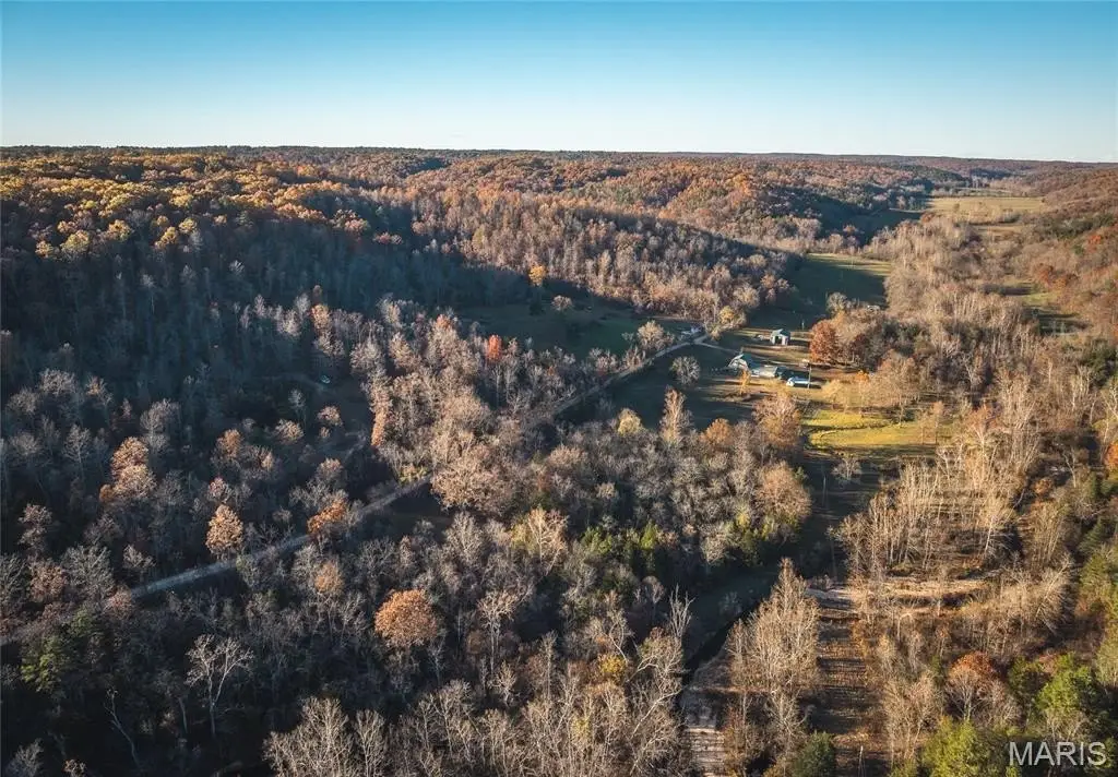
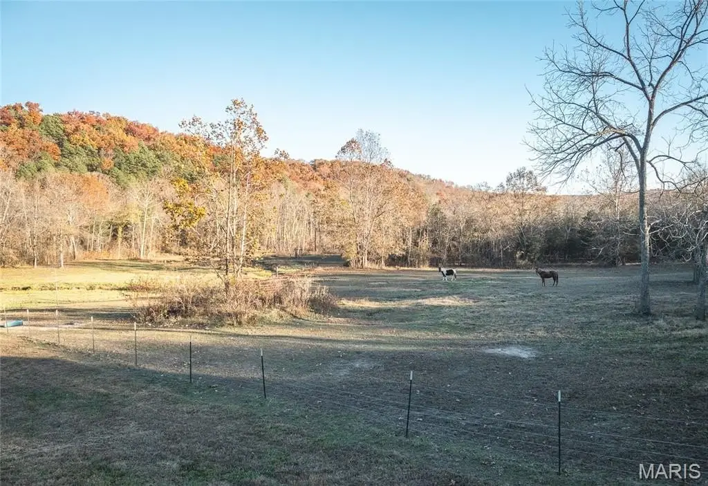
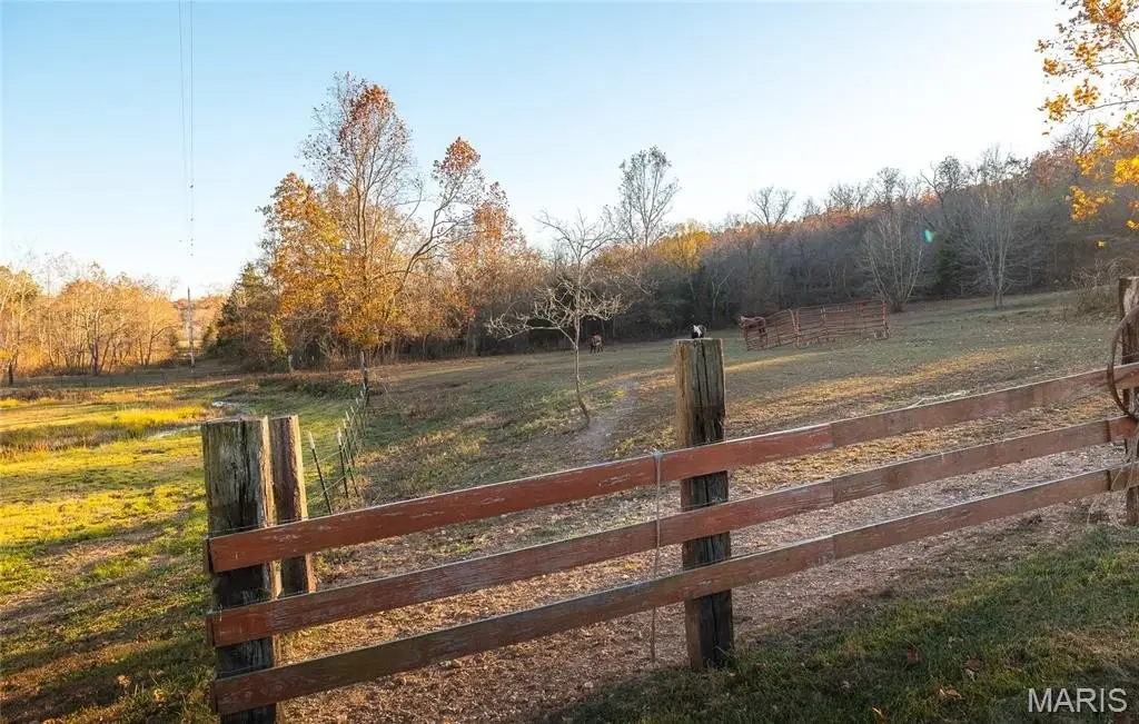
- 80‑acre private property bordering thousands of acres of Mark Twain National Forest, offering unmatched access to outdoor recreation and solitude.
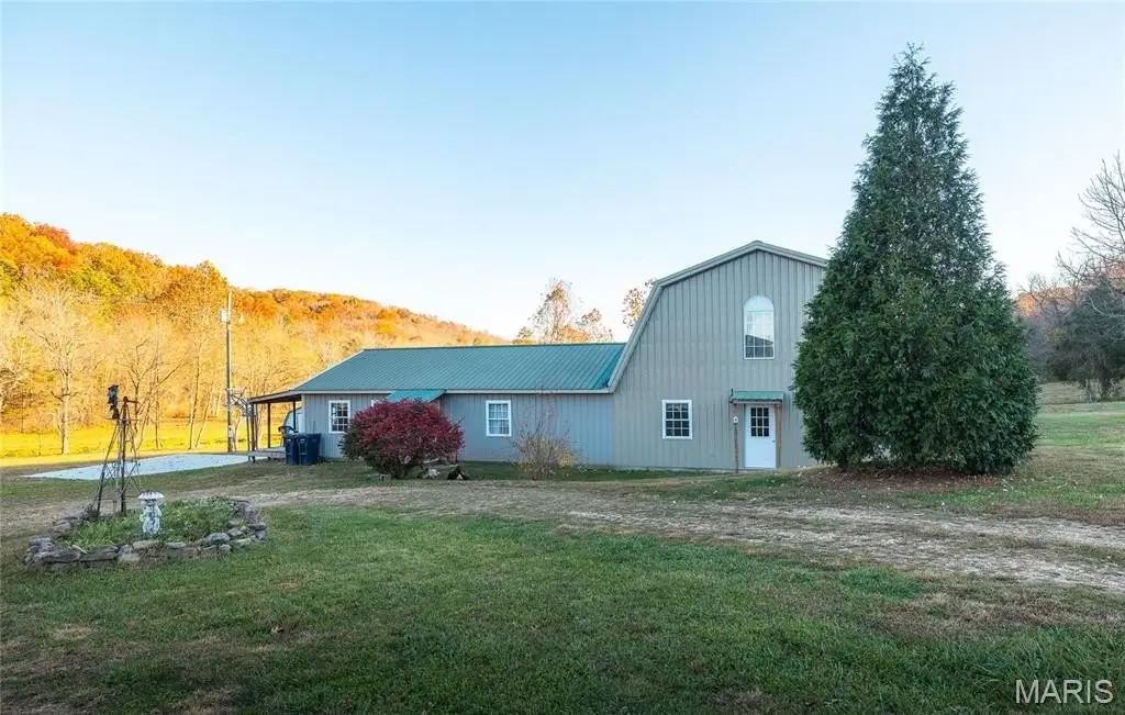
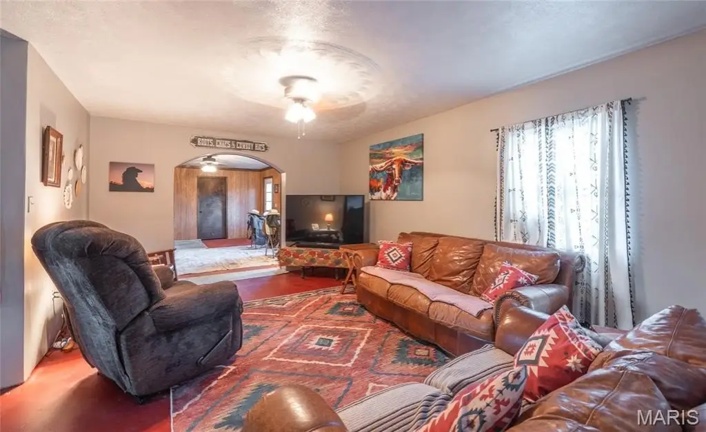
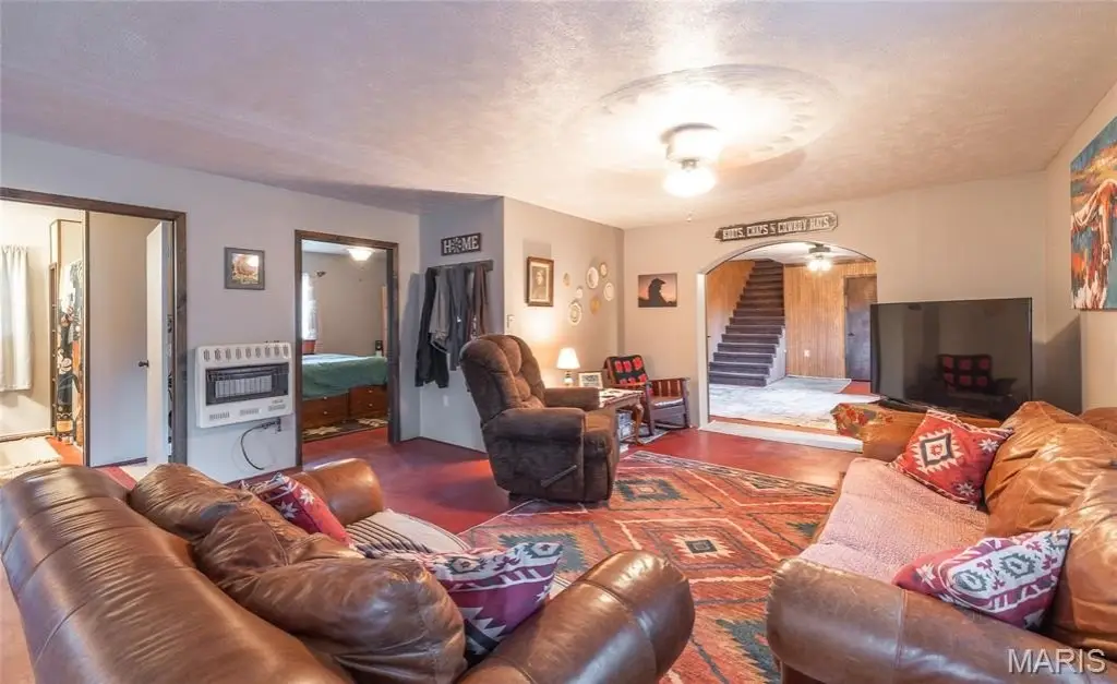
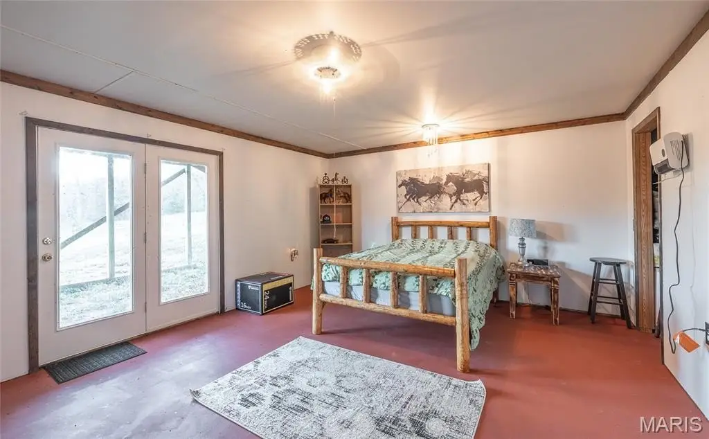
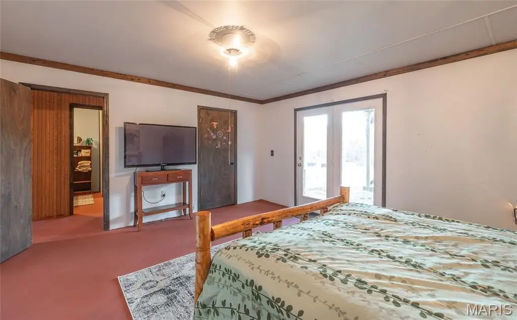
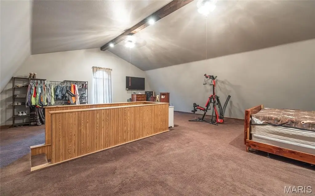
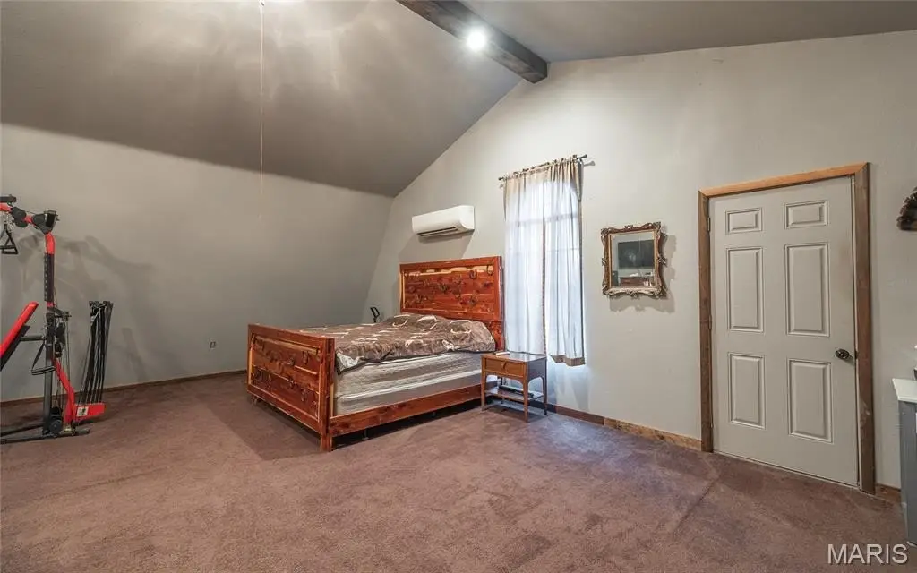
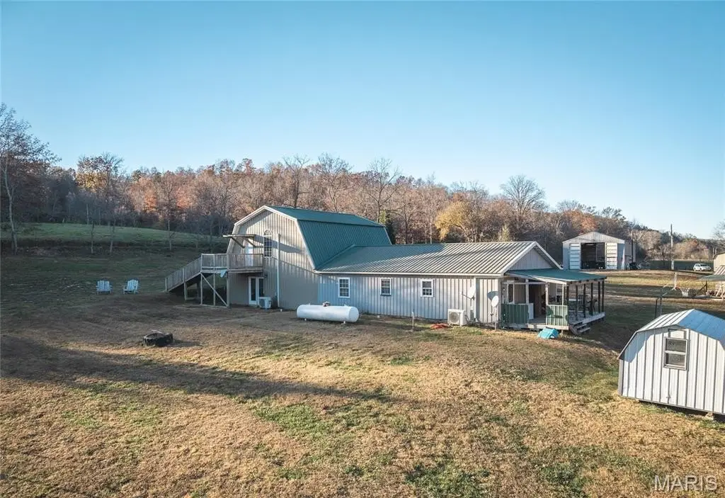
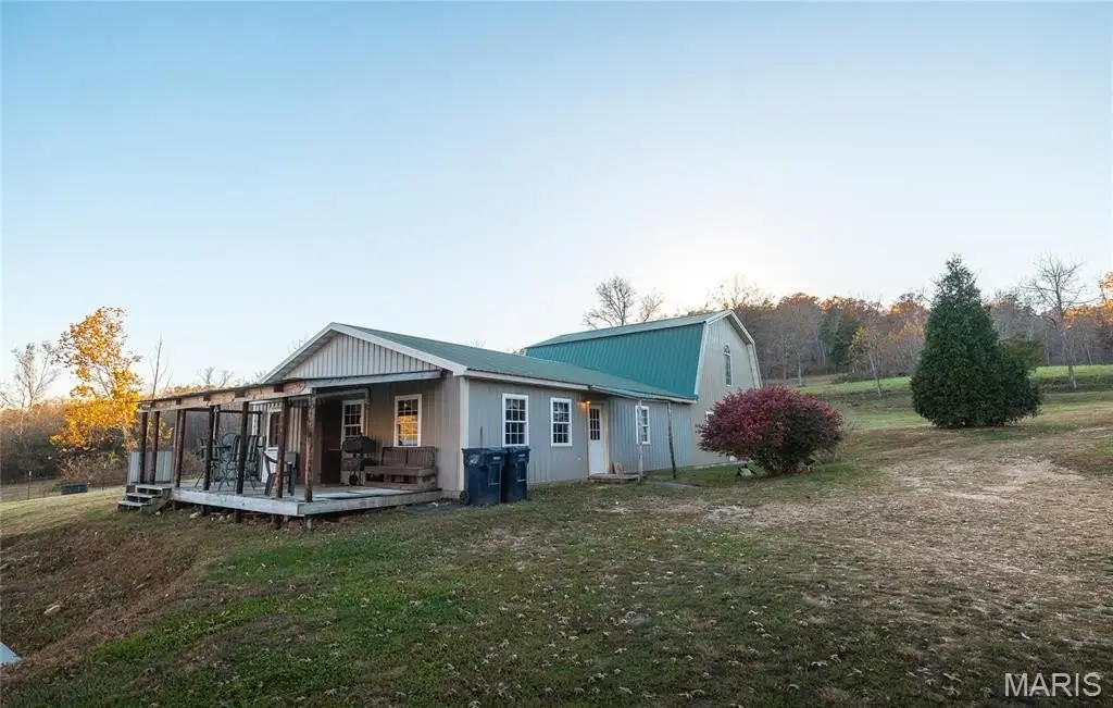
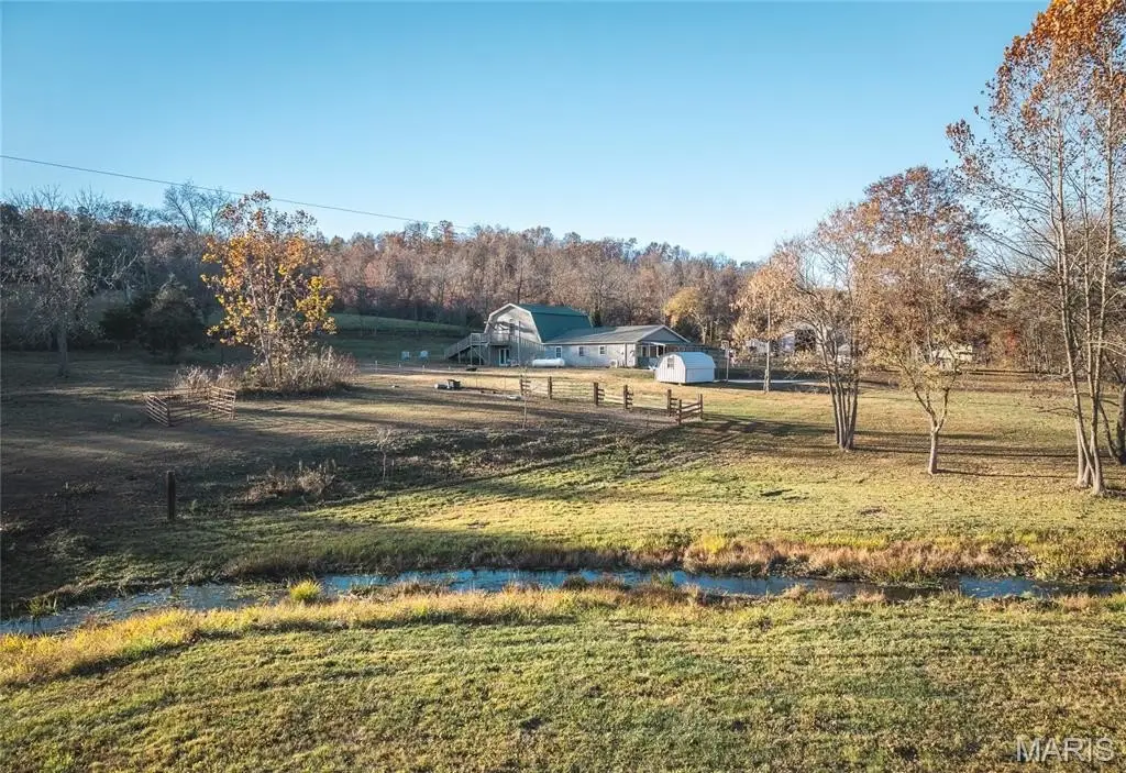
- 3,300‑square‑foot home with 4 bedrooms and 2 full baths featuring an open‑concept design and scenic views.
- No restrictive covenants or zoning limitations, allowing for diverse uses.
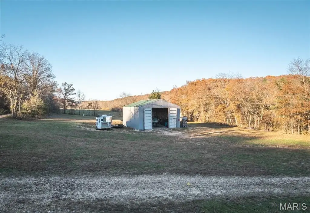
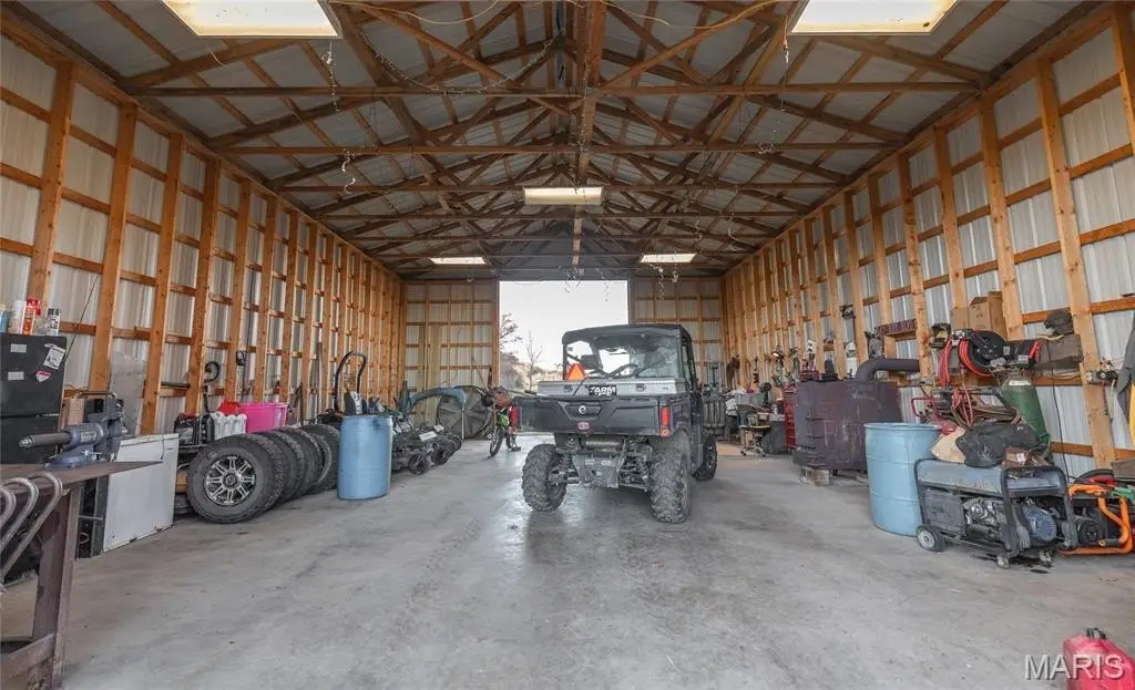
- 30’ x 40’ detached garage/shop, providing flexible space.
- Ideal location in the Missouri Ozarks, offering a blend of off‑grid freedom, sustainable living, and water‑rich opportunity.
Overview
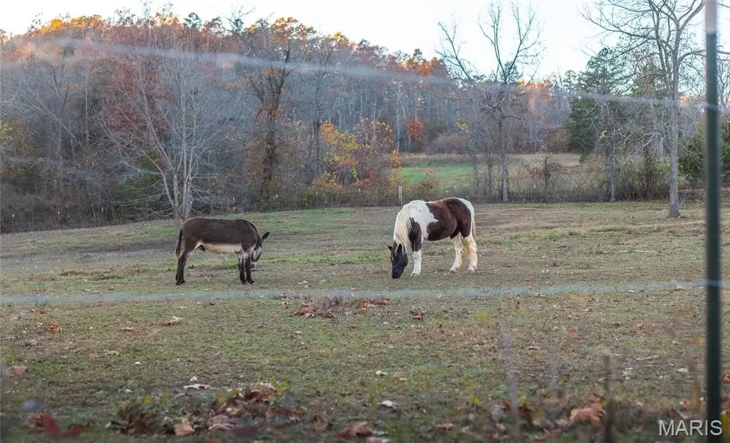
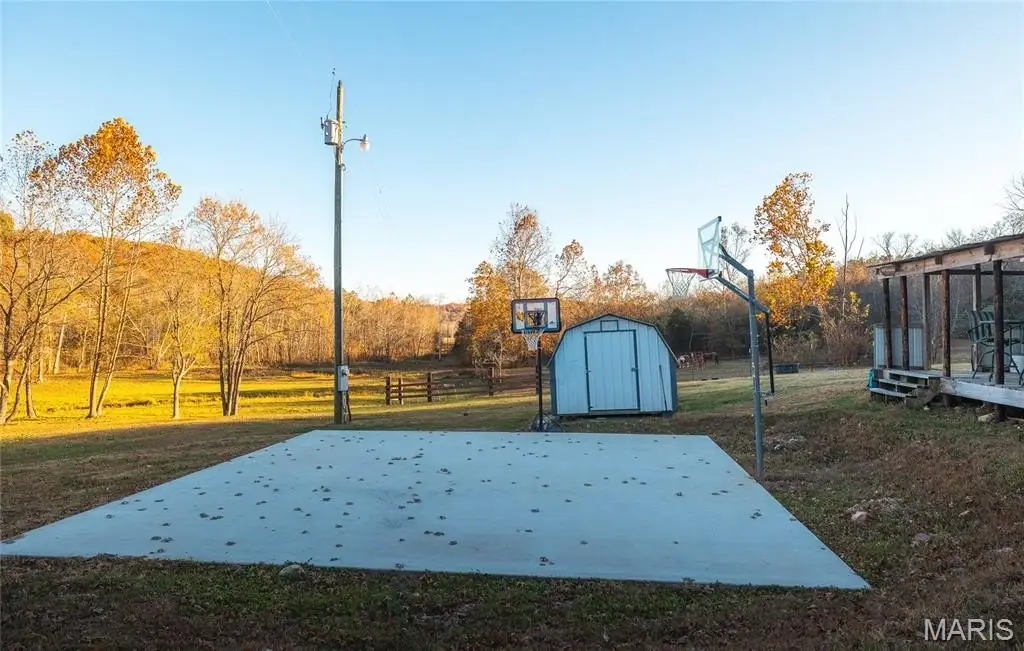
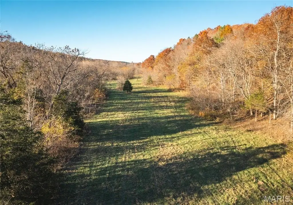
Located just outside Bunker, in the Missouri Ozarks, Spring Haven Homestead is an 80-acre property surrounded by Mark Twain National Forest. The property features a 3,300-square-foot home with 4 bedrooms, 2 full baths, and an open-concept design. The home includes concrete floors and oversized windows. A 30’ x 40’ detached garage/shop is also included. The land is gently rolling, wooded, and offers fertile soil and abundant water. A natural spring produces over 1.3 million gallons of water per day, feeding a private section of Sinking Creek with over half a mile of creek frontage. The property is suited for homesteading, livestock, gardening, or developing an eco-retreat or glamping site. It is also ideal for aquaculture, bottled water, or irrigation. The location provides direct access to thousands of acres of public forest land for outdoor recreation, including hiking, hunting, and horseback riding. This property is suitable for homesteaders, investors, retreat builders, and nature lovers.
Property Profile
Location Intelligence
Current Use by Public Records
Farms
Map
- City
- Bunker
- County
- Reynolds
- State
- Missouri
- Longitude
- -91.298755
- Latitude
- 37.487284
FAQs
What type of property is this?
Farm - 80-acre Missouri Ozarks homestead featuring a high-yield natural spring.
Where is this farm located?
The property is located at 3385 County Road 5615 Bunker, MO.
What is the asking price?
The asking price for this property is $950,000.
What are key features of this property?
This property features: Verified 900‑gallon‑per‑minute natural spring feeding into a private section of Sinking Creek, providing over half a mile of creek frontage and abundant water resources.; 80‑acre private property bordering thousands of acres of Mark Twain National Forest, offering unmatched access to outdoor recreation and solitude.; **3,300‑square‑foot home with 4 bedrooms and 2 full baths featuring an open‑concept design and scenic views.**


