20800 W US HWY 160, Durango, CO 81303
- Added:
- Feb 23, 2026
- Days on Market:
- 124
- Last Refresh:
- Jun 27 at 4:06 pm
Property Features for 20800 W US HWY 160
General Information
- Property type
- Land
- Property subtype
- Other
- Standard status
- Active
- Lot size
- 46.10 Acres

Listing agent Zane Wells (970) 317-1095
Listing office Wells Group Real Estate Durango, CO (970) 259-6680
Listing date Feb 23, 2026
Copyright © 2026 Colorado Real Estate Network Inc. All rights reserved. All information provided by the listing agent/broker is deemed reliable but is not guaranteed and should be independently verified.
HighLights
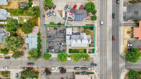
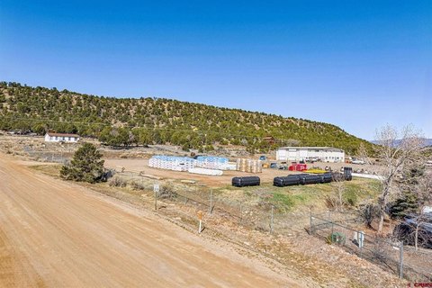
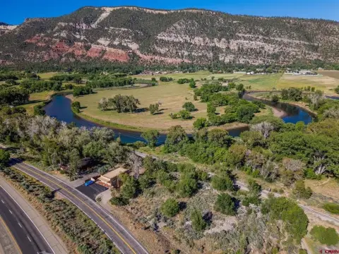
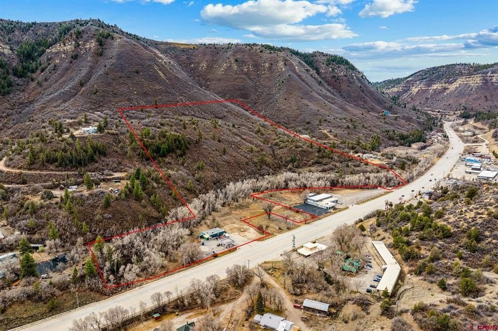
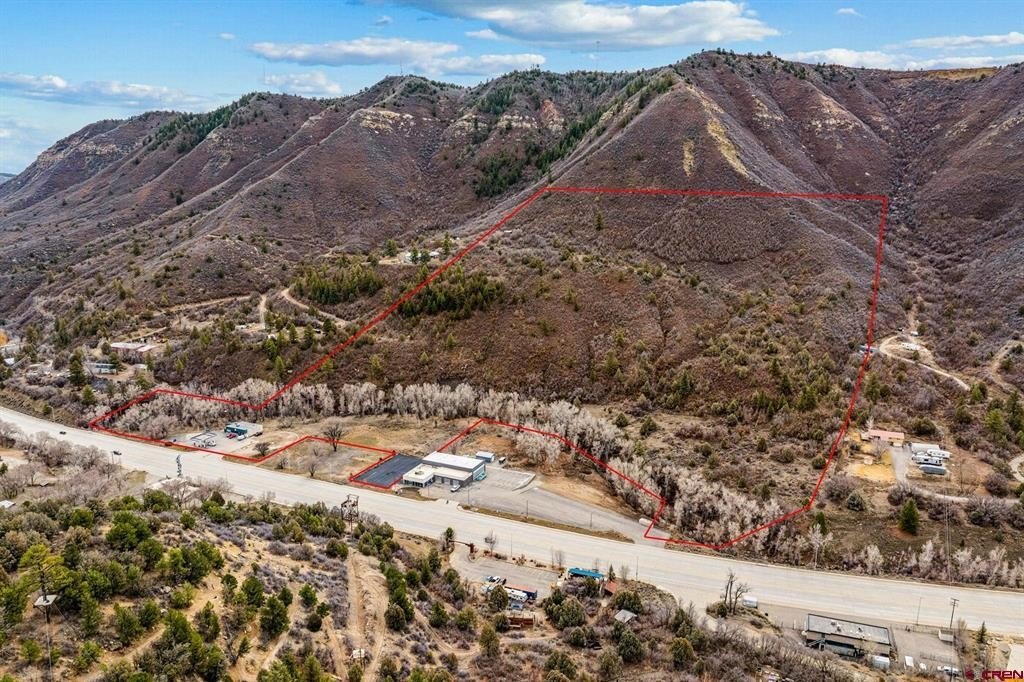
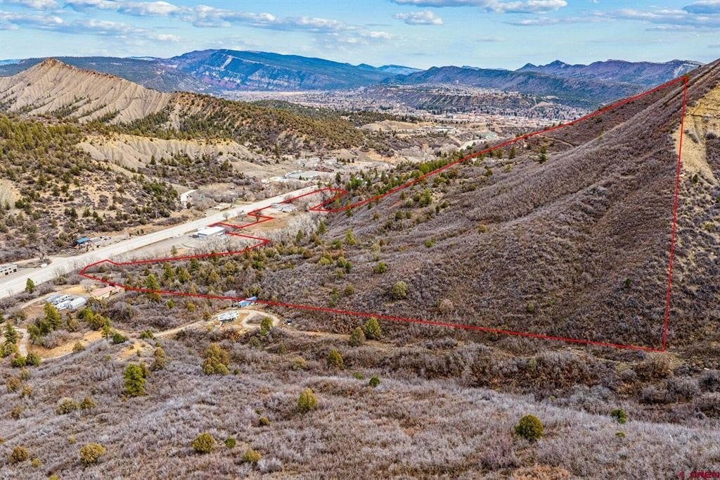
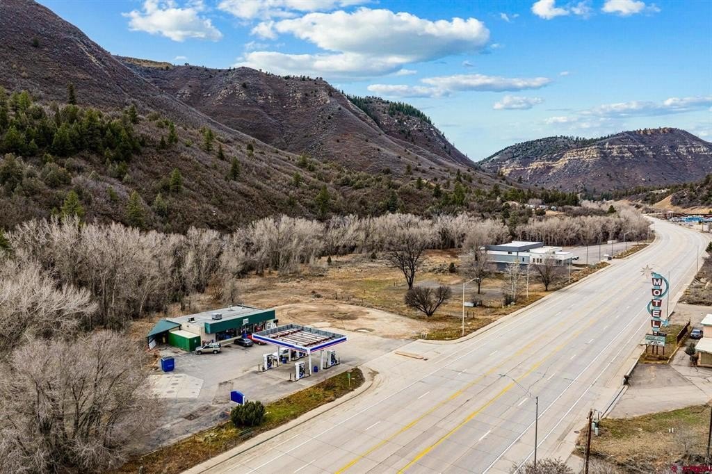
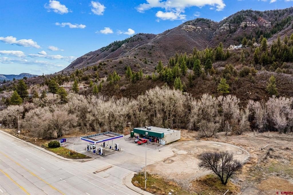
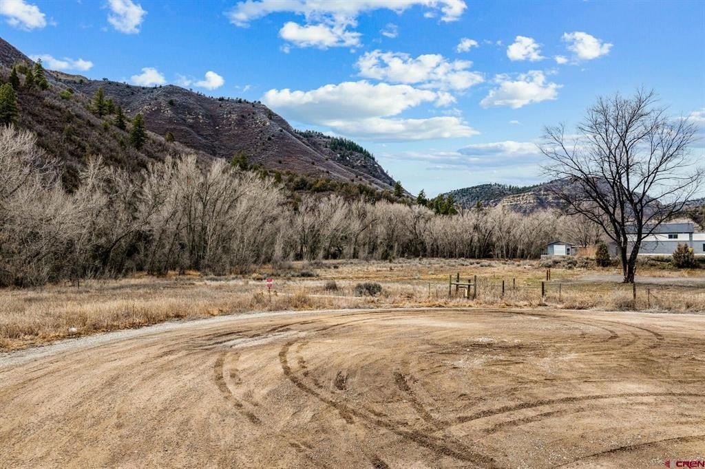
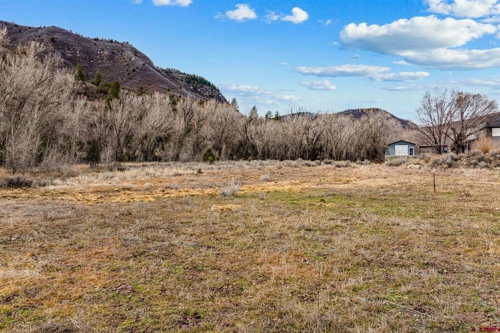
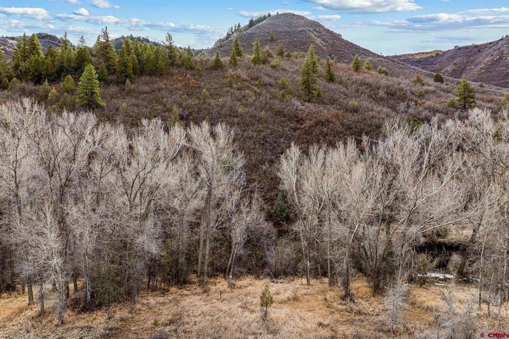
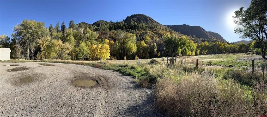
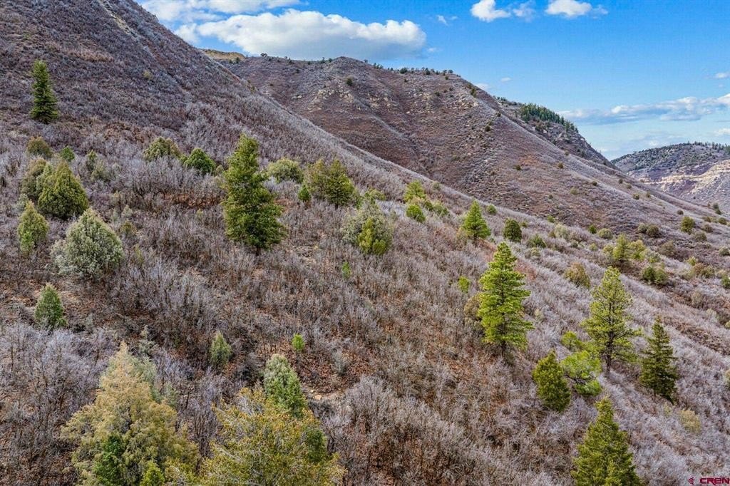
- 46.1‑acre property in Durango city limits, about 1.5 miles from Main Street
- Zoned Rural/Agricultural and Commercial General with existing entitlements for a range of commercial and limited rural uses
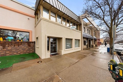
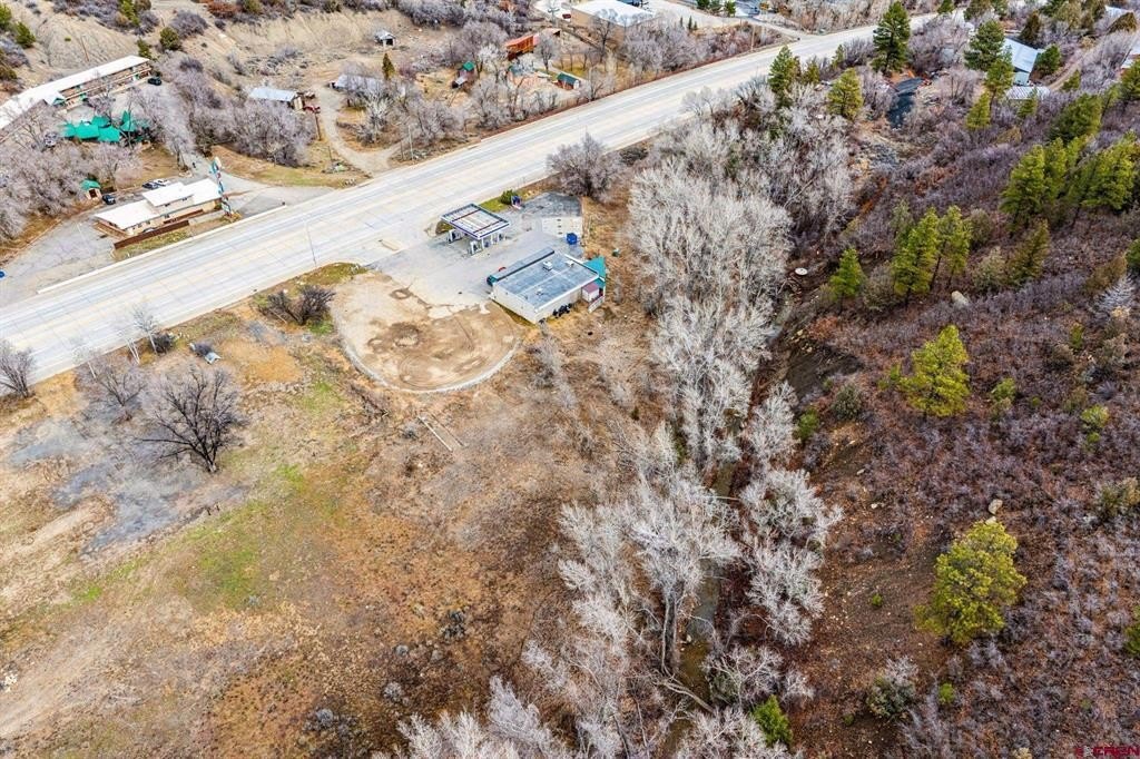
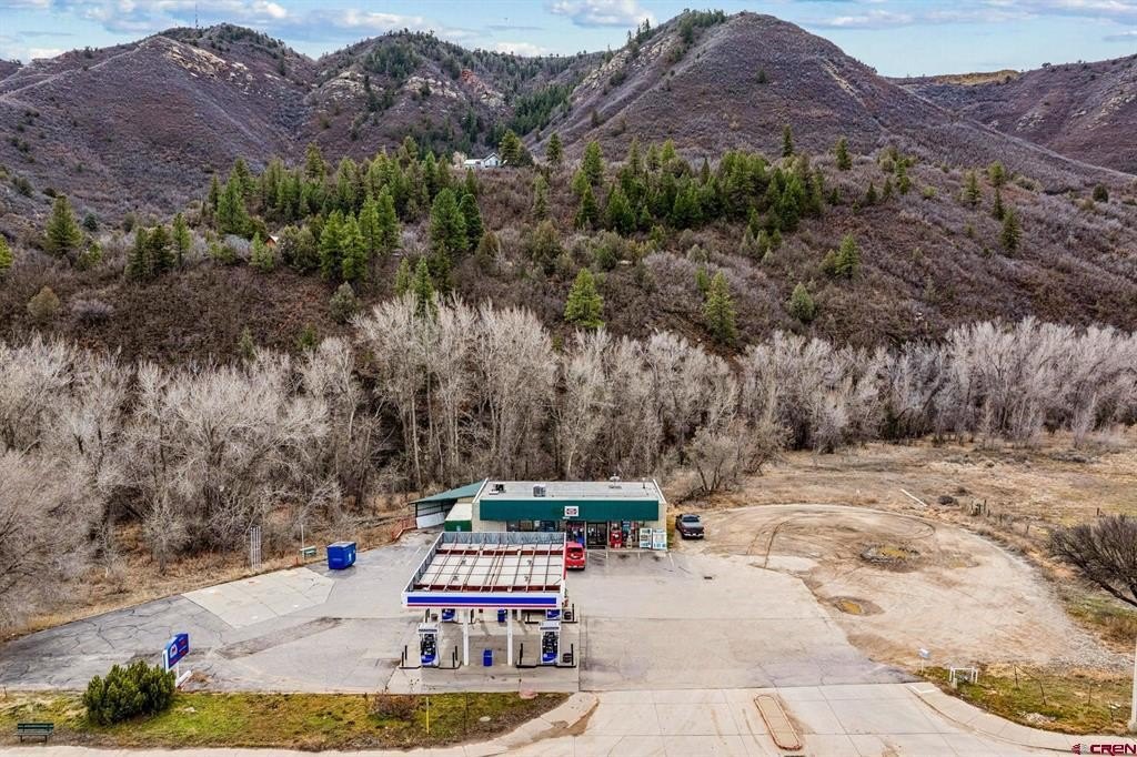
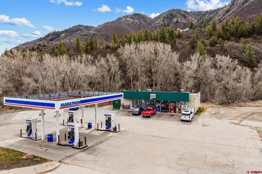
- Includes an operating gas station tenant with in‑place income; lease not long term
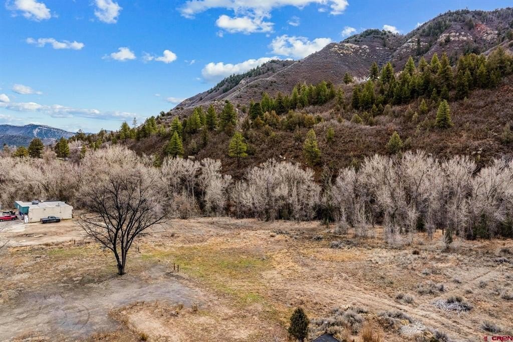
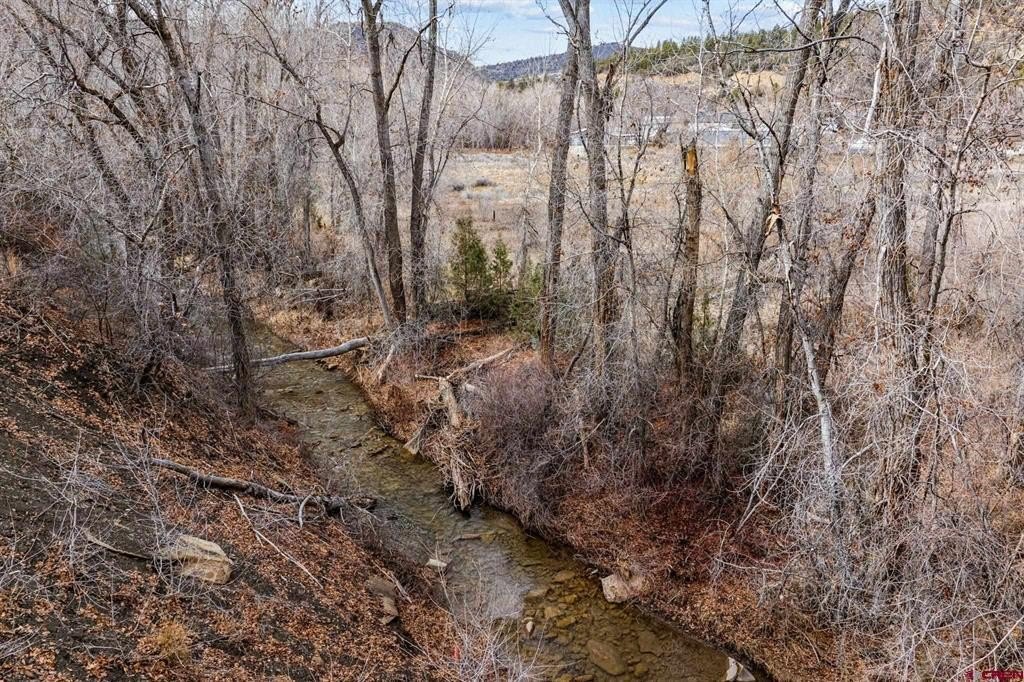
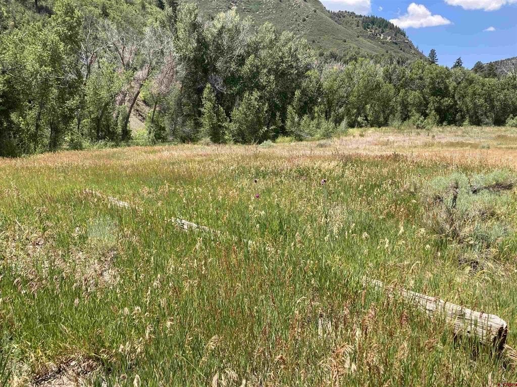
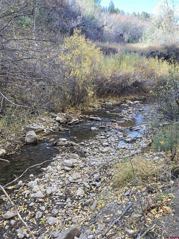
- About 2 acres of flat, creek‑side ground suitable for development (townhomes, multifamily, or mixed‑use concepts)
- Additional 2+ acres across the creek may be evaluated for future development to expand design options
- Utilities accessible; residential or multifamily development requires change of use and approval through the City of Durango planning/entitlement process
Overview
The property is reported to be approximately 1.5 miles from Main Street in Durango, Colorado. The ground includes about two acres of flat, creek-side terrain described as buildable. The listing also notes an additional 2+ acres across the creek that could be evaluated for future development; any residential or multifamily development would require a change of use and approval through the City of Durango planning and entitlement process.
For developers and land investors, the site offers a sizable footprint with multiple development pathways tied to current zoning and described entitlement allowances. Utilities are indicated as accessible, and the proximity to downtown amenities is highlighted as relevant to planning a potential phased approach that can incorporate interim income alongside longer-term entitlement and redevelopment considerations. Buyers should consult with city planning staff regarding rezoning, density allowances, infrastructure requirements, and any annexation or land use considerations as applicable.
Current Use by Public Records
Map
- City
- Durango
- County
- La Plata
- State
- Colorado
- Longitude
- -107.905553
- Latitude
- 37.269622