Carr. 156 KM 20.1 INTERIOR BO. HONDURAS, Barranquitas 00794
- Added:
- Jan 12, 2025
- Days on Market:
- 523
- Last Refresh:
- Jun 19 at 3:06 pm
Property Features for Carr. 156 KM 20.1 INTERIOR BO. HONDURAS
General Information
- Property type
- Land
- Property subtype
- Other
- Zoning
- RURAL
- Standard status
- Active
- APN
- 273-000-003-21-998
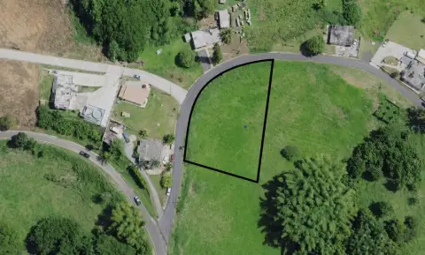
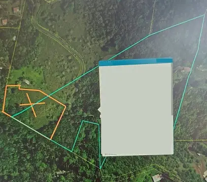
- Lot size
- 34.00 Acres
Building Details
- Architectural style
- Other
Listing agent Fernando Rodriguez License #19191 (787) 706-8400
Listing office KELLER WILLIAMS GRAND HOMES 612 Aldebaran St., San Juan (787) 706-8400
Listing date Jan 12, 2025
Copyright © 2026 Stellar MLS. All rights reserved. All information provided by the listing agent/broker is deemed reliable but is not guaranteed and should be independently verified.
HighLights
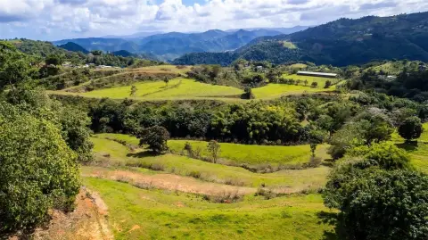
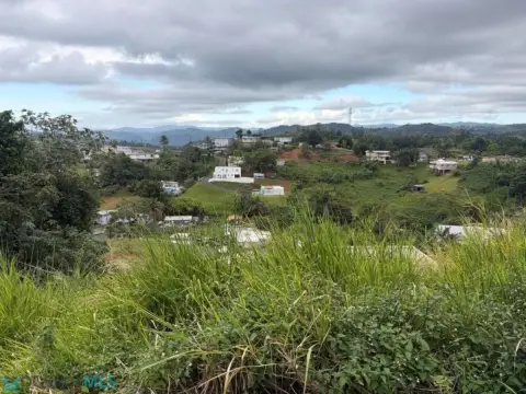
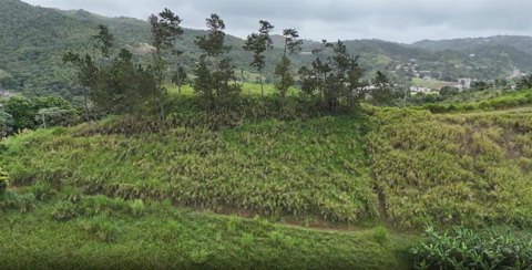
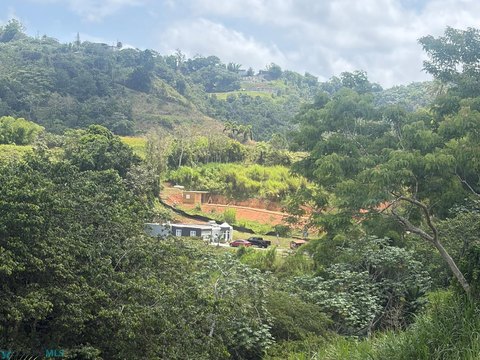
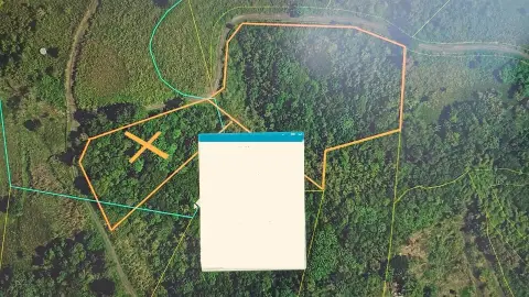
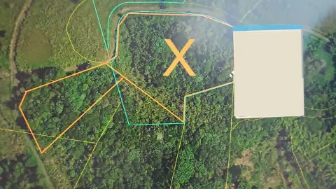
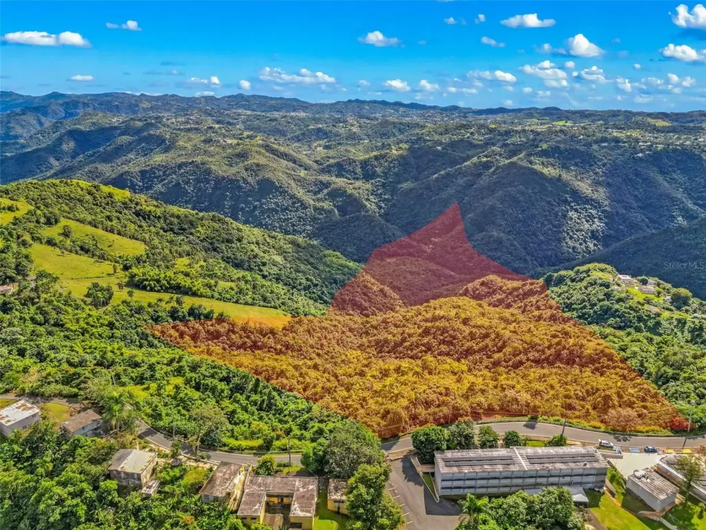
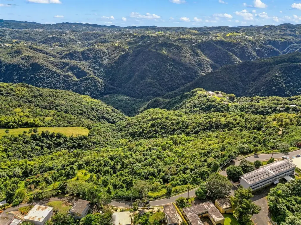
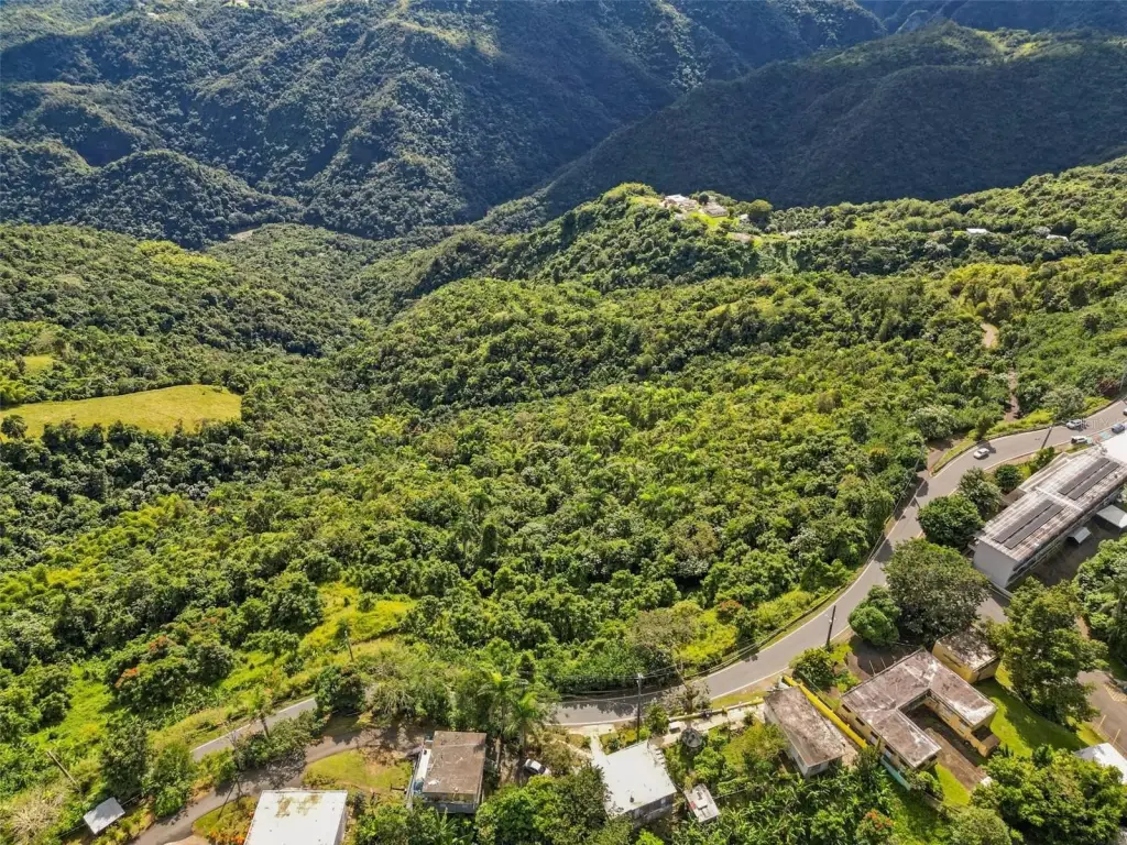
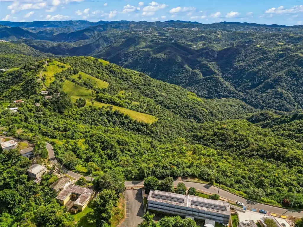
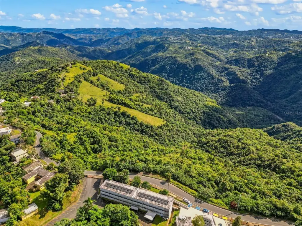
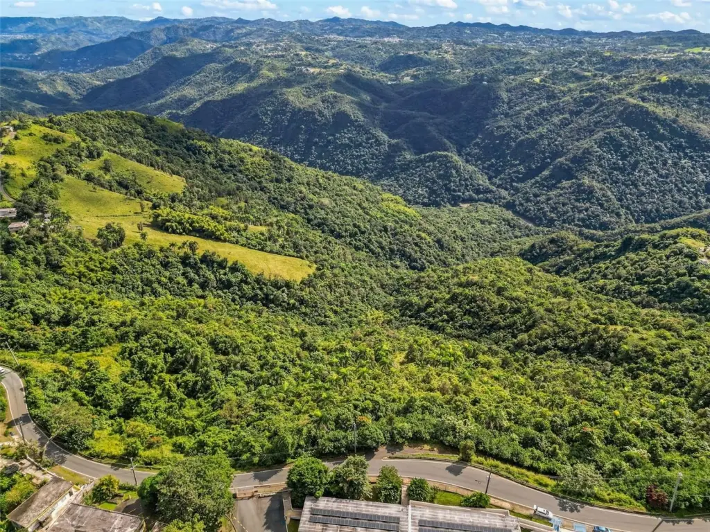
- 35‑acre agricultural farm for sale in Barrio Honduras, Barranquitas, Puerto Rico
- Land classified as SREP‑E (Specially Protected Rustic Land – Ecological) and A‑G (General Agricultural)
- Previously used for cattle, indicating historical agricultural use
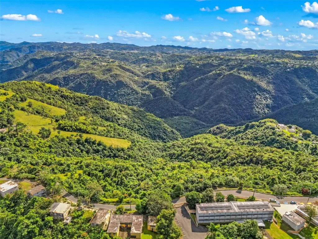
- Located in a scenic mountain area known for a cool year‑round climate and fertile soil
- No existing structures on the property
Overview
The property is situated off Carr. 156 Km 20.1 interior in Barrio Honduras, Barranquitas (coordinates 18.184172, -66.277223). It is described as a mountain area with a cool year-round climate and fertile soil, and the site is characterized by natural, scenic surroundings.
This parcel can fit buyers looking for a rural land base for agricultural activities or an eco-sustainable concept consistent with the SREP-E and A-G classifications. With no buildings currently present, it may also appeal to investors or practitioners who want to develop facilities tailored to farming, livestock, or other agricultural uses allowed under the stated land classifications. Buyers are encouraged to review applicable restrictions and permitted uses tied to the SREP-E and A-G designations before proceeding.
Current Use by Public Records
Map
- City
- Barranquitas
- County
- Guayama
- State
- Longitude
- -66.276928
- Latitude
- 18.182587