1224 S HARWOOD Way E, Francis, UT 84036

- Added:
- Jan 30, 2026
- Days on Market:
- 150
- Last Refresh:
- Jun 29 at 12:06 pm
Property Features for 1224 S HARWOOD Way E
General Information
- Property type
- Commercial Sale
- Property subtype
- Retail
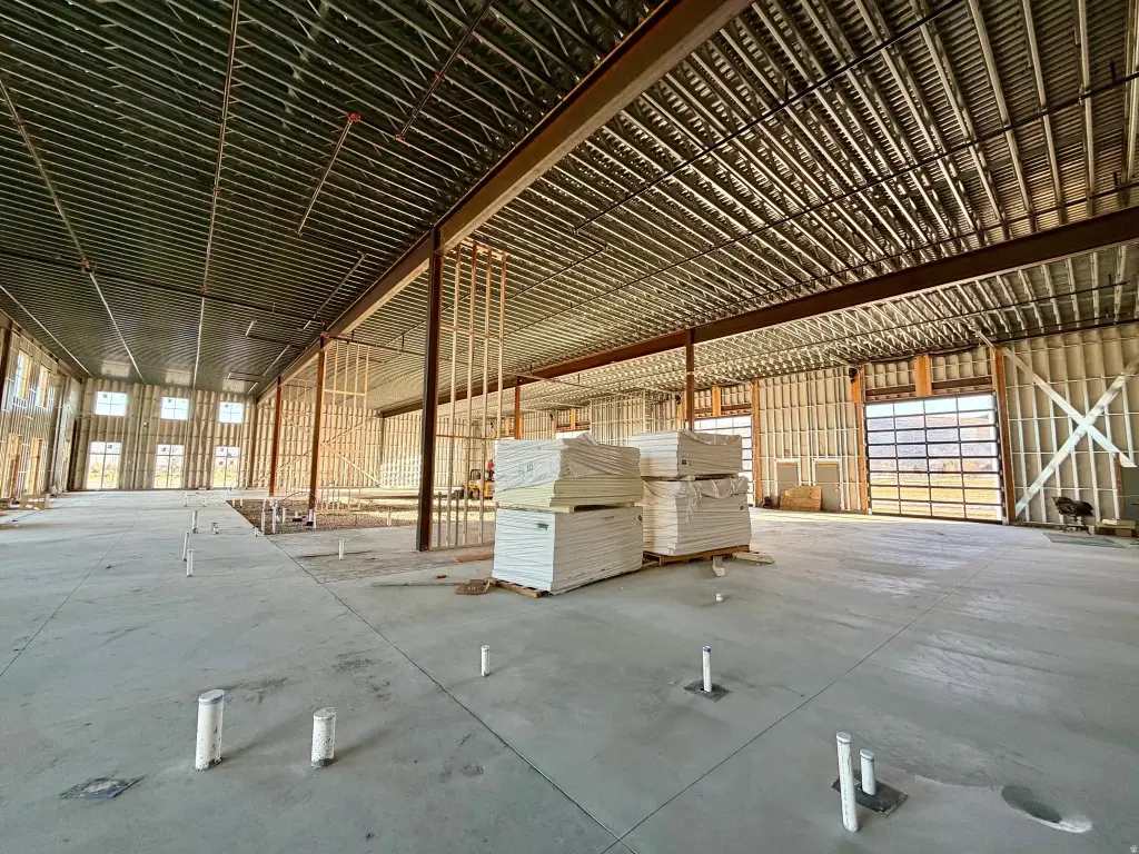
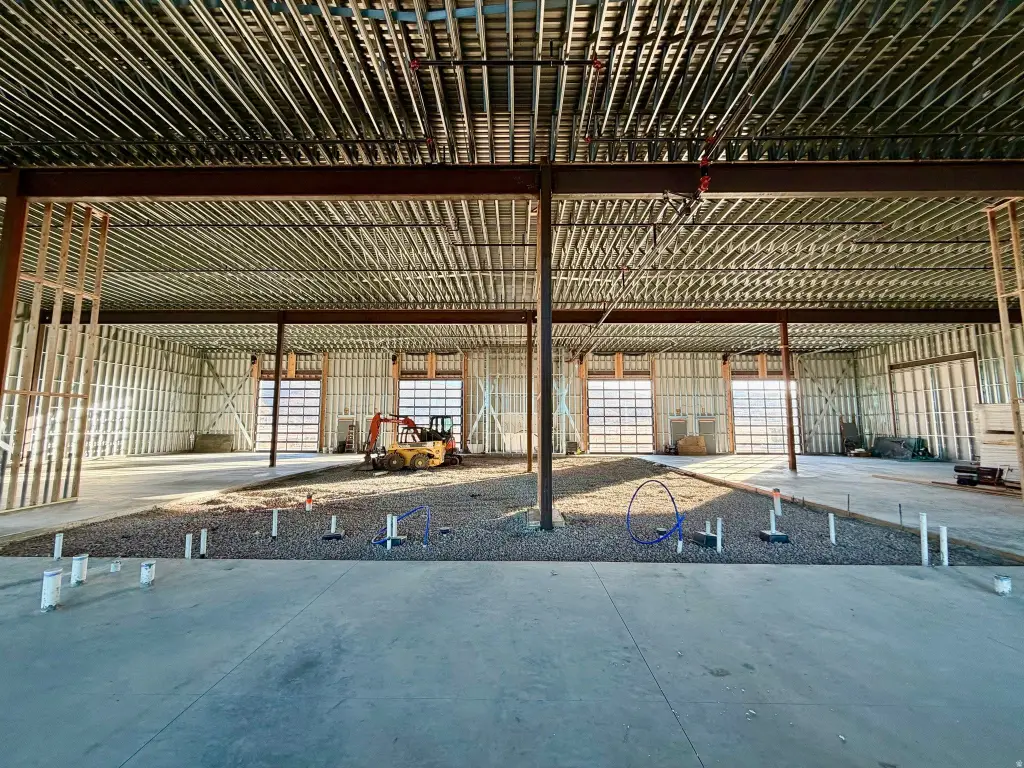
- Property condition
- Under Construction
- Standard status
- Active
- APN
- RT32-1
- Lot size
- 0.79 Acres
Building Details
- Year built
- 2026
Listing agent David Diehl (801) 750-5666
Listing office Equity Real Estate (Advantage) 1218 E 7800 S 150, Sandy, UT (801) 917-5597
Listing date Jan 30, 2026
Copyright © 2026 UtahRealEstate.com. All rights reserved. All information provided by the listing agent/broker is deemed reliable but is not guaranteed and should be independently verified.
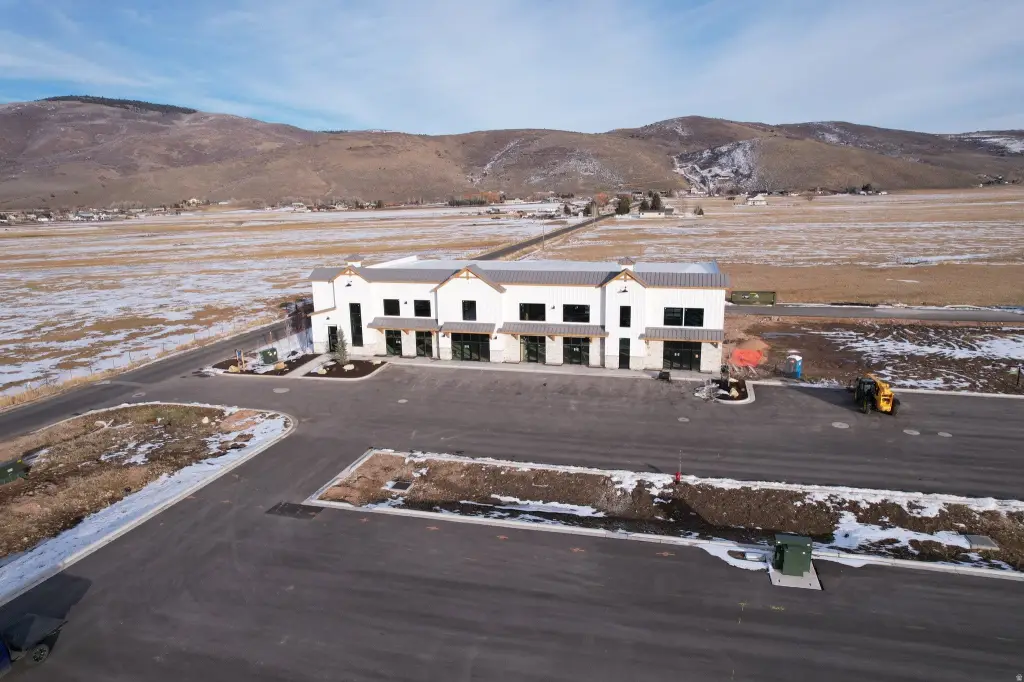
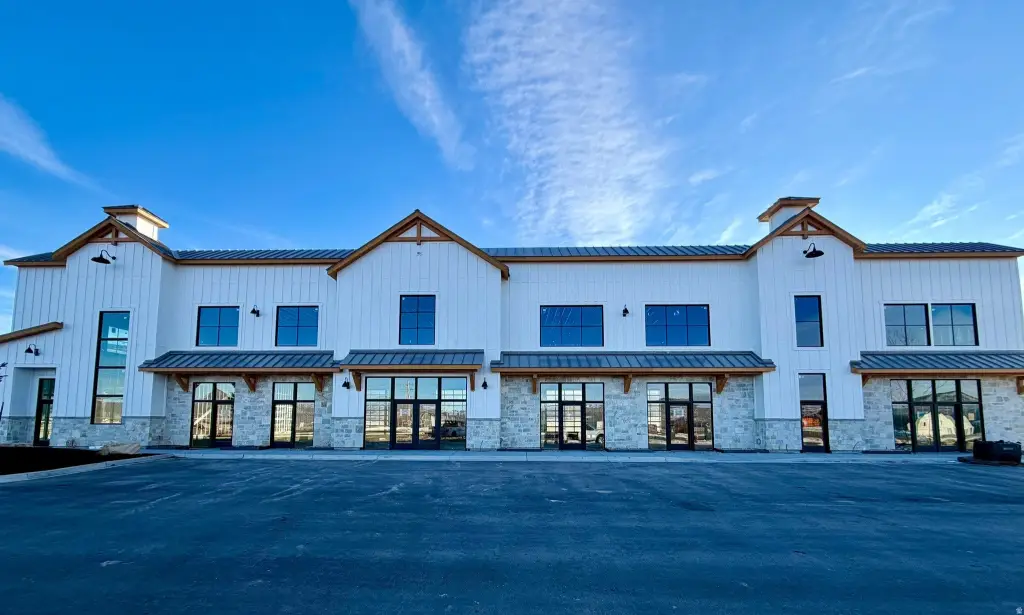
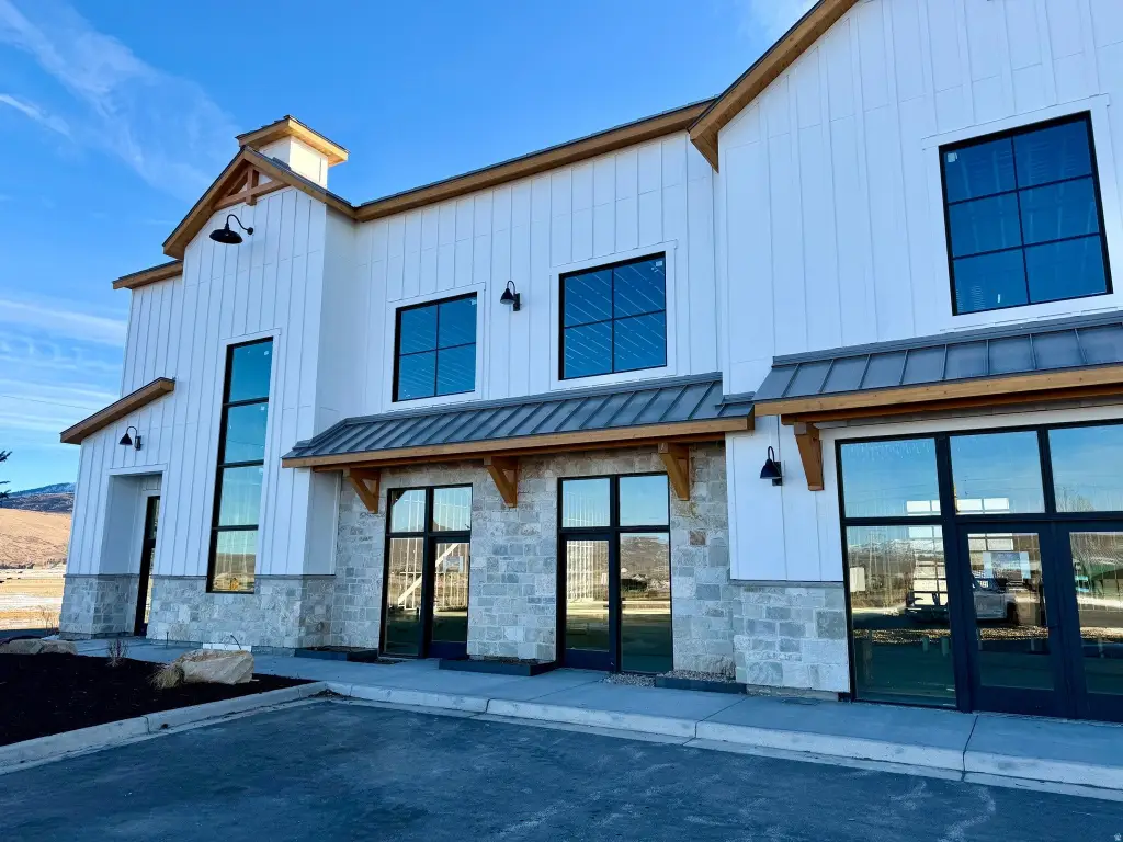
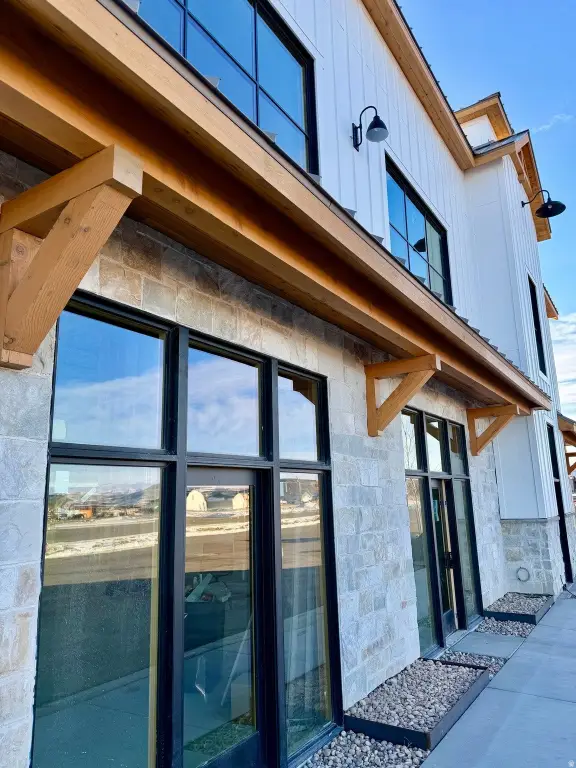
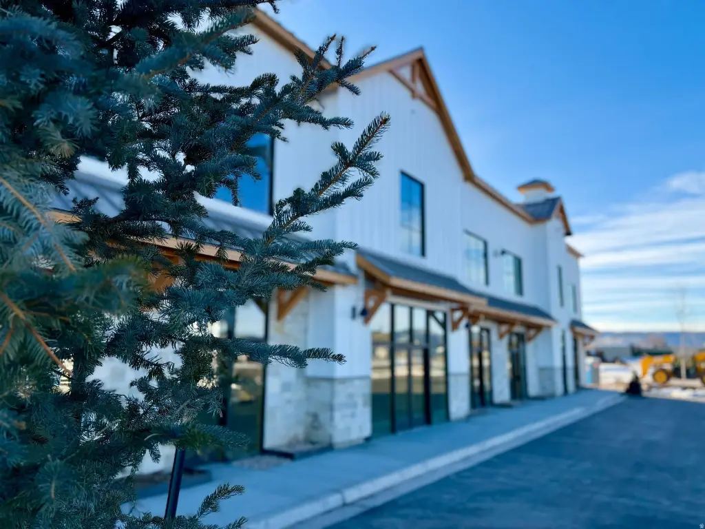
HighLights
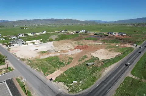
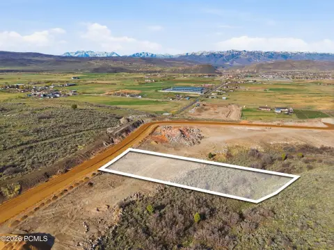
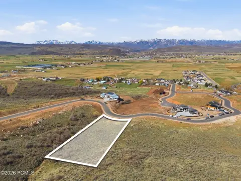
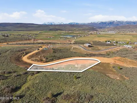
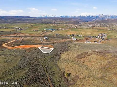
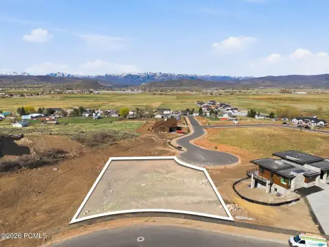
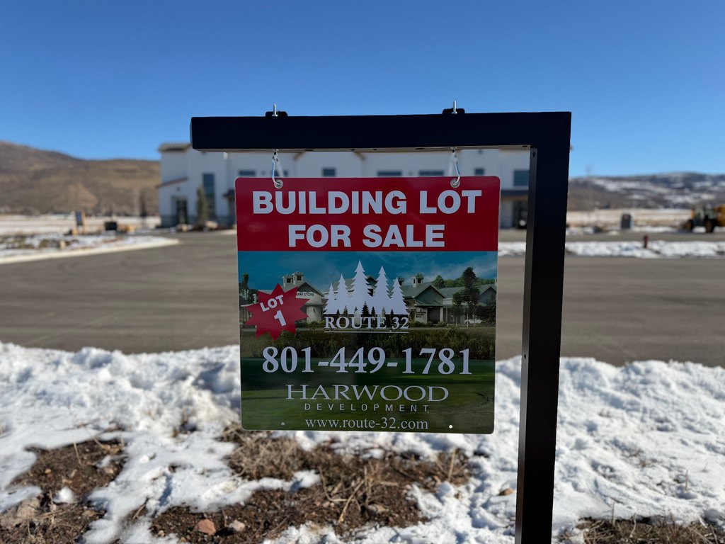
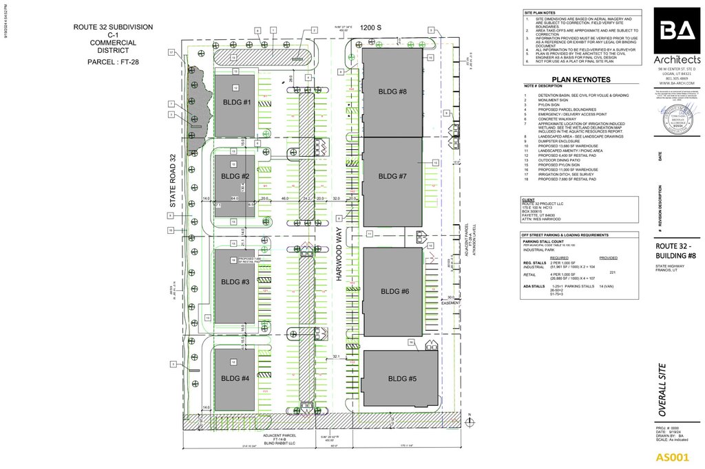
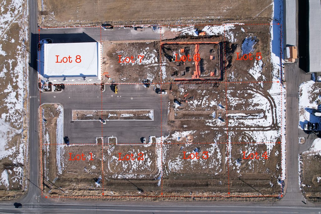
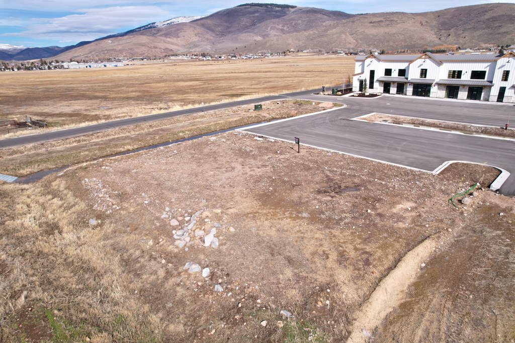
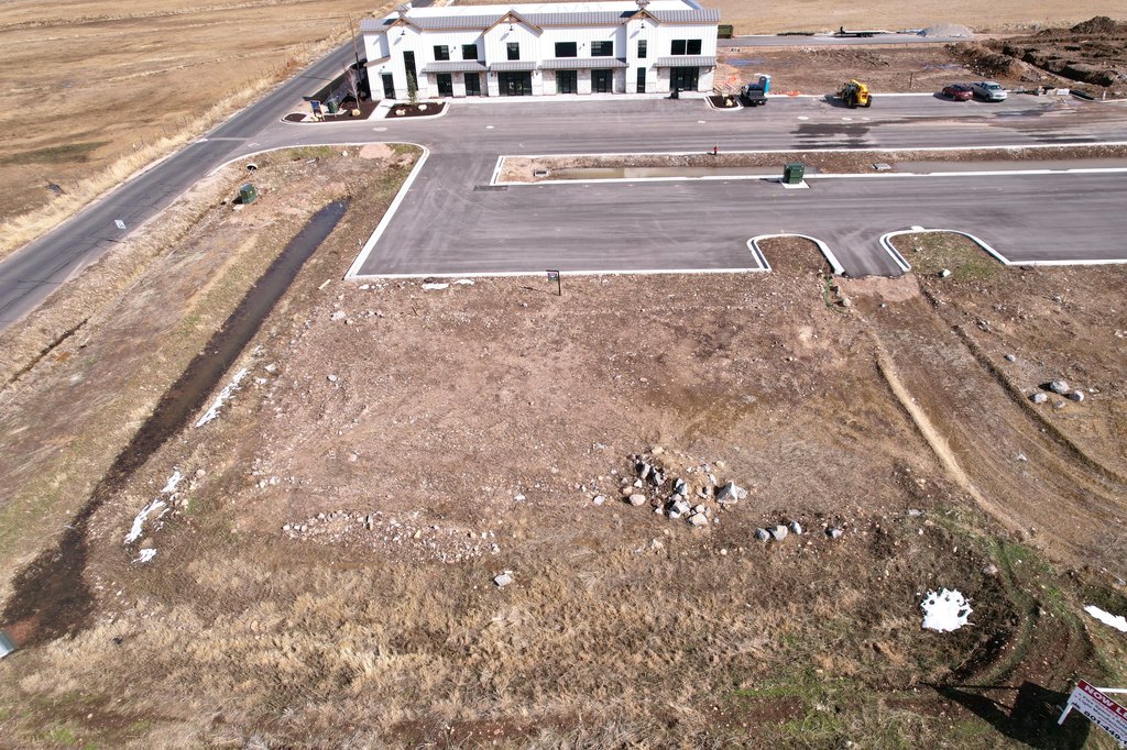
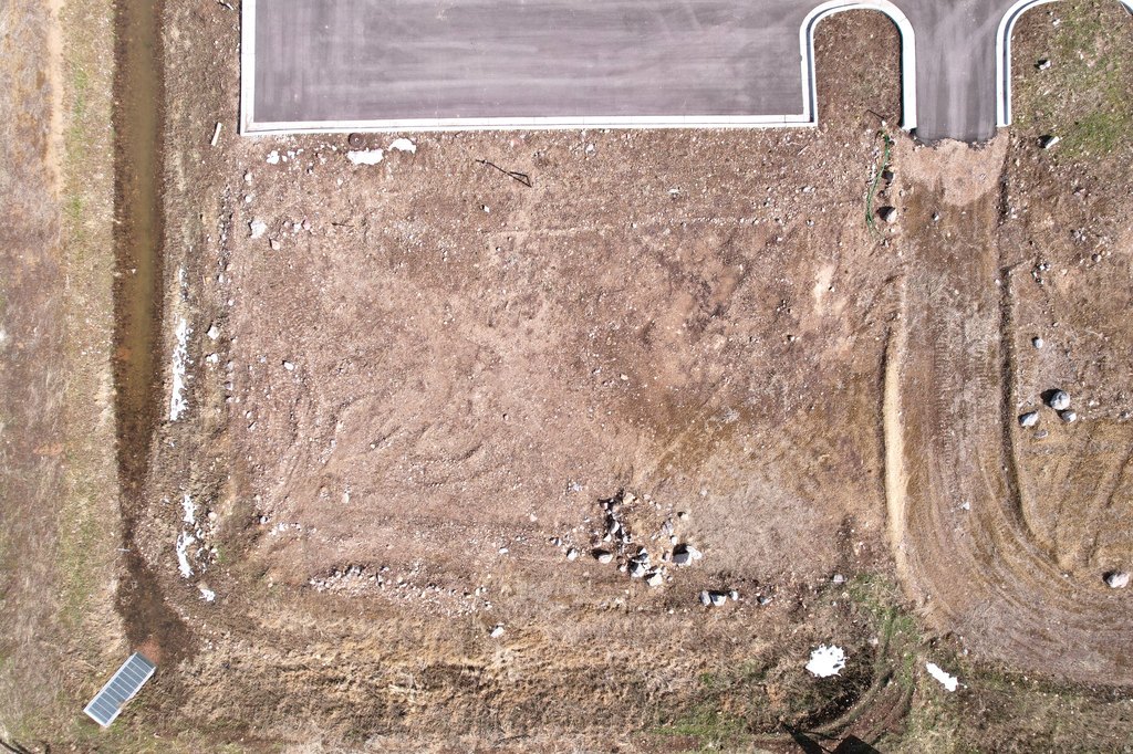
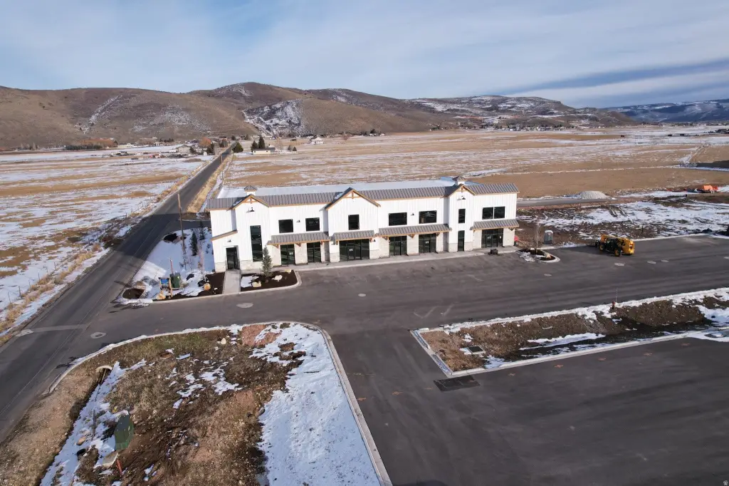
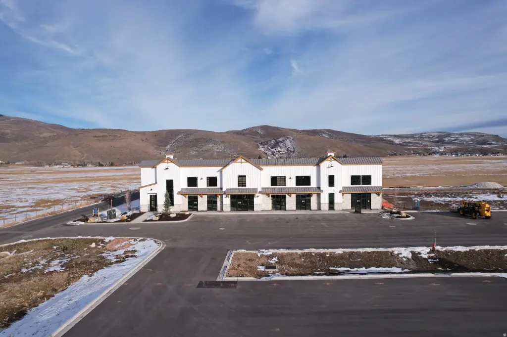
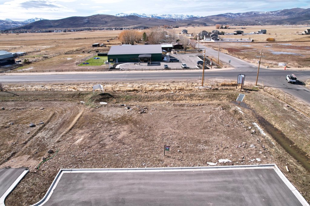
- Pad‑ready .79‑acre commercial lot in the high‑growth Route 32 Project, Kamas Valley.
- All utilities are stubbed on‑site (power, water, sewer, fiber), reducing build costs and time.
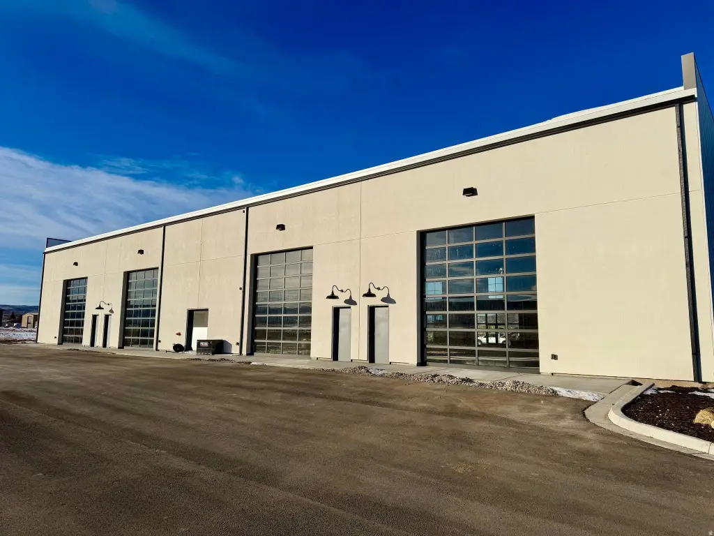
- Excellent visibility and direct access from Route 32.
- Engineered, level, and compacted soils for immediate building.
- Ideal for office, flex, retail, light commercial, or mixed‑use applications.
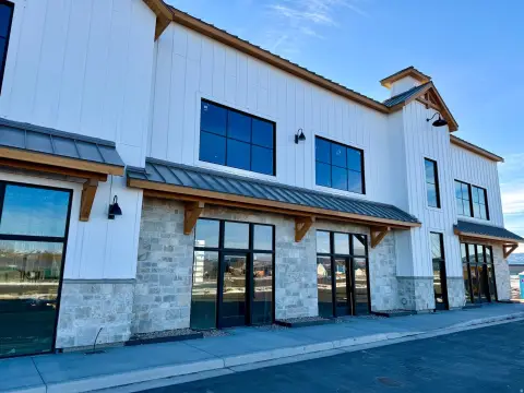
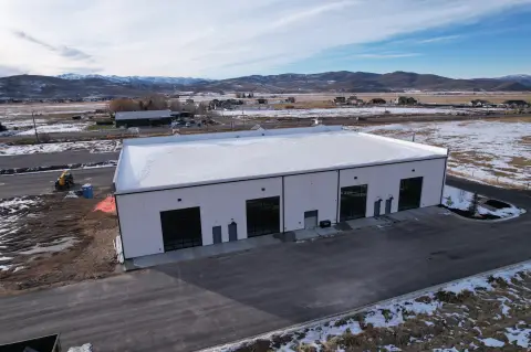
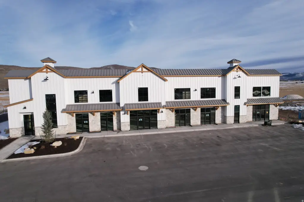
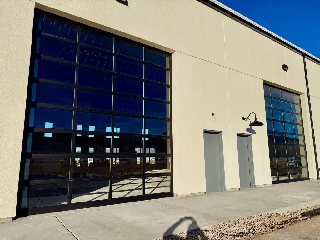
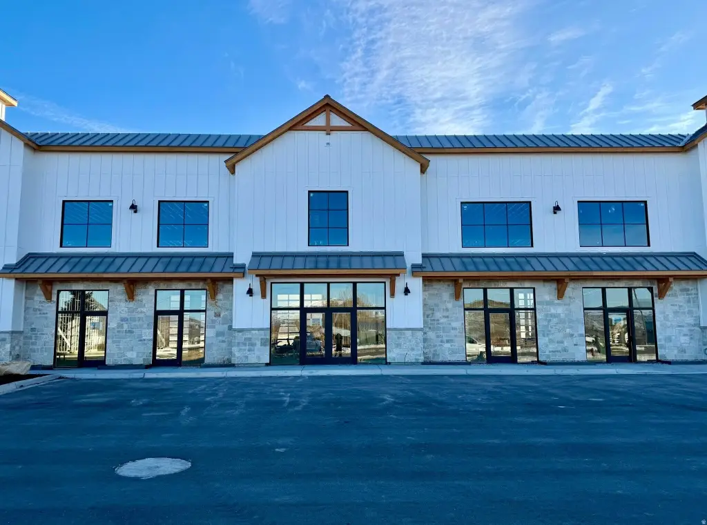
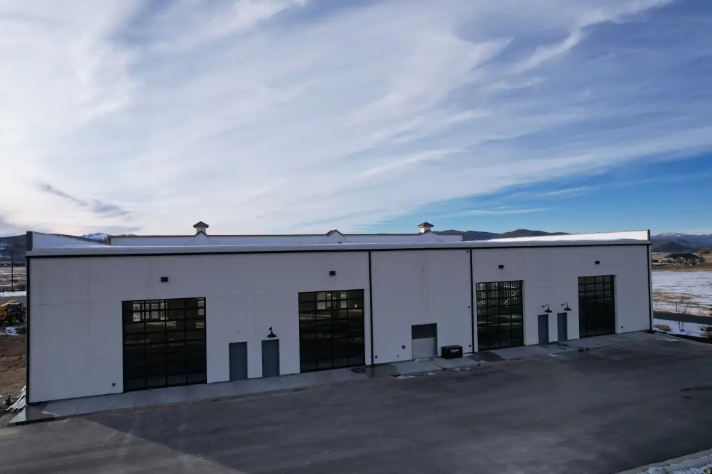
- Part of an upscale flex campus with high‑quality construction and professional businesses.
Overview
Access is described as direct from Route 32, and the property is positioned as part of the Route 32 flex campus. Utilities are stated to be onsite and stubbed, including power, water, sewer, and fiber, which can help reduce on-site utility work during initial build-out. The parcel is presented as immediately ready for development within the broader planned campus environment.
For tenants, buyers, and developers, the practical value here is the combination of a prepared, level pad and utility infrastructure already stubbed on a commercial lot with road access. The configuration fits users that want to control their own build timeline while selecting a final site plan for office, flex, retail, or light commercial programming in a planned flex-cam puse setting. Prospective buyers should confirm specific site development requirements and allowable uses with the appropriate local authorities.
Current Use by Public Records
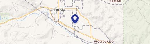
Map
- City
- Francis
- County
- Summit
- State
- Utah
- Longitude
- -110.724
- Latitude
- 40.8065