County Road 200, Alton, MO 65606

- Added:
- Jun 3, 2026
- Days on Market:
- 7
- Last Refresh:
- Jun 9 at 3:06 am
Property Features for County Road 200
General Information
- Property type
- Land
- Property subtype
- Other
- Standard status
- Active
- APN
- 17-4.0-19-0-000-0001.02000
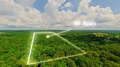
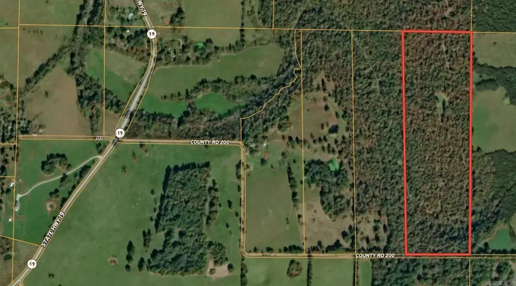
- Lot size
- 40.00 Acres
Taxes and HOA fees
- Tax Year
- 2025
- Tax Description
- 19-23N-4W
- Tax Annual Amount
- 14
Listing agent Sandy Ross (417) 270-0854
Listing office United Country - Cozort Realty, Inc. P. O. Box 92, Thayer, MO (417) 264-7288
Listing date Jun 3, 2026
Copyright © 2026 Cooperative Arkansas Realtors Multiple Listing Service. All rights reserved. All information provided by the listing agent/broker is deemed reliable but is not guaranteed and should be independently verified.
HighLights
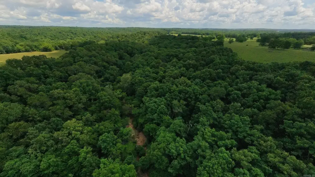
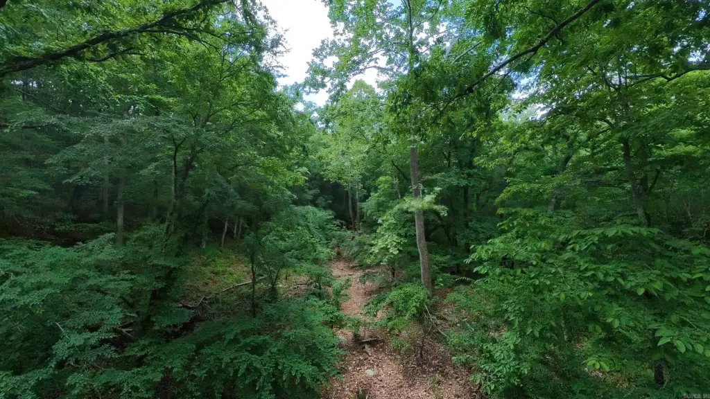
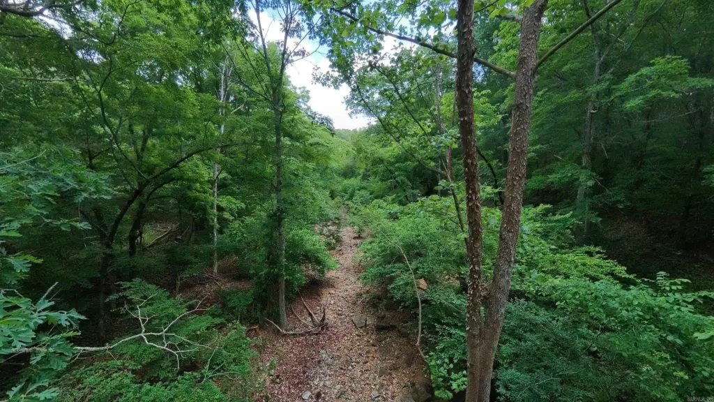
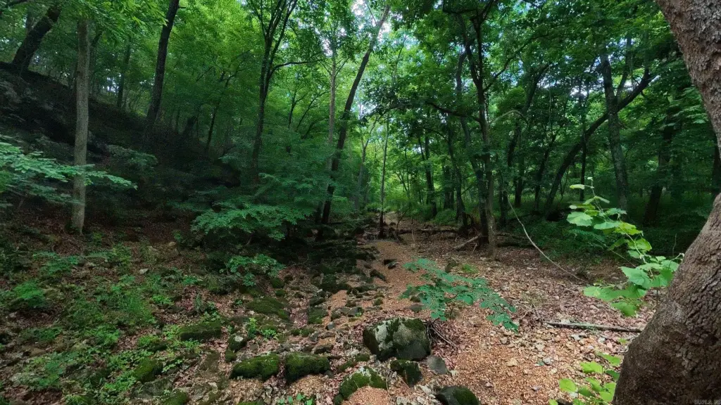
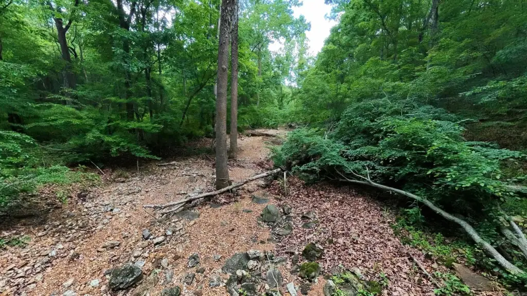
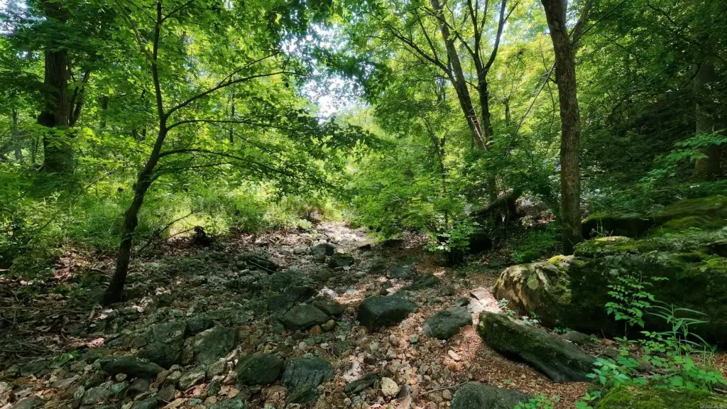
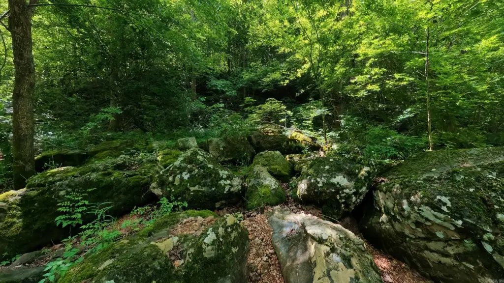
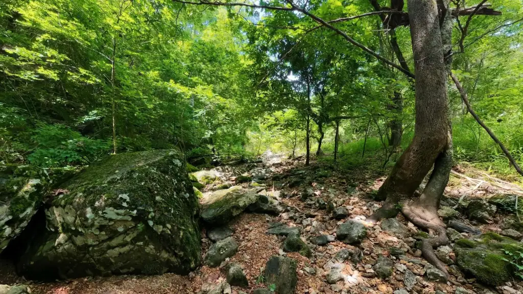
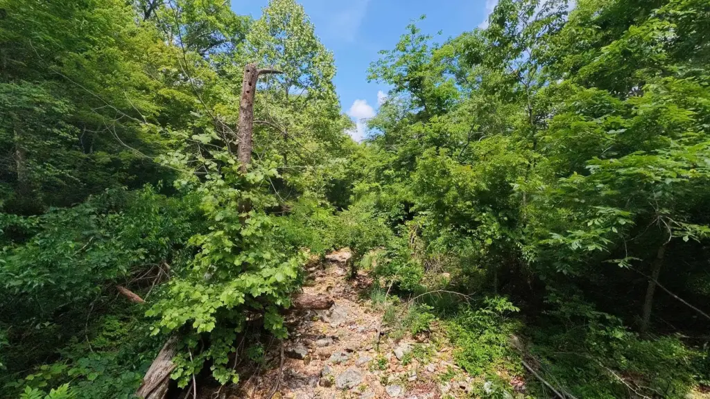
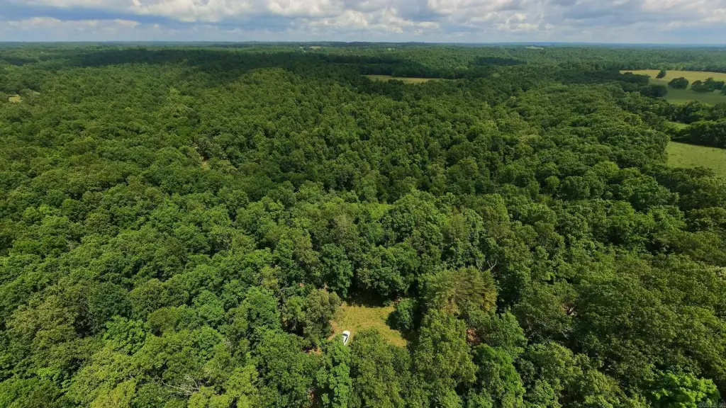
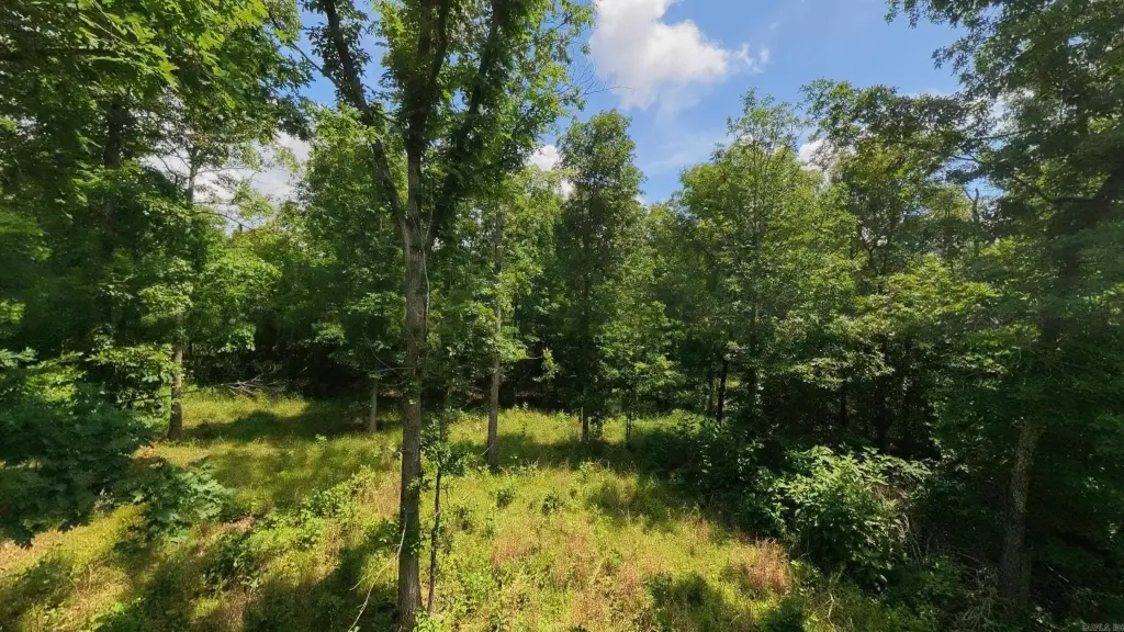
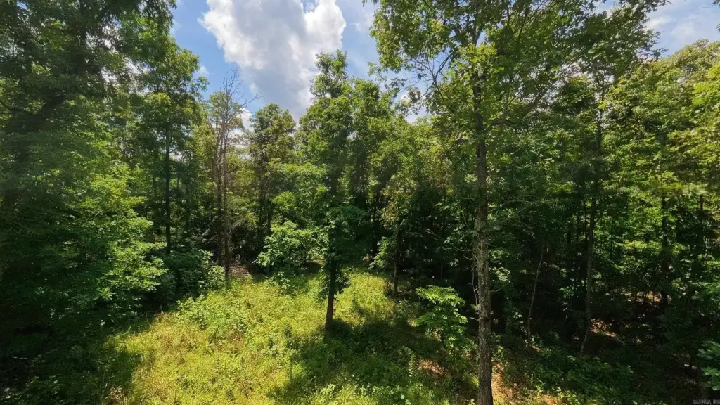
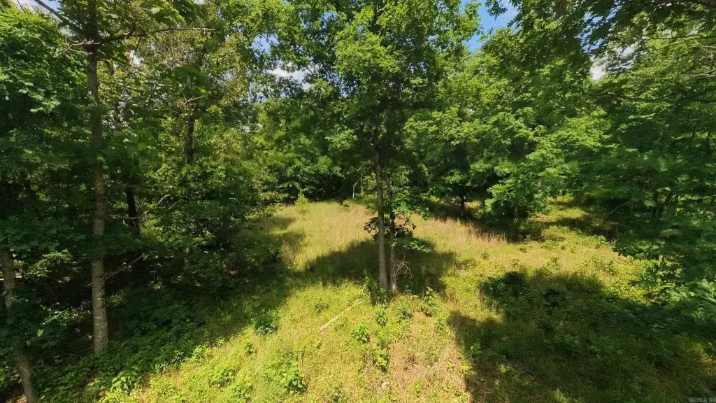
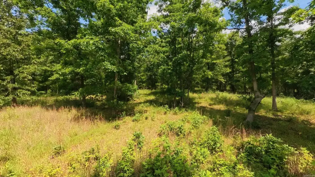
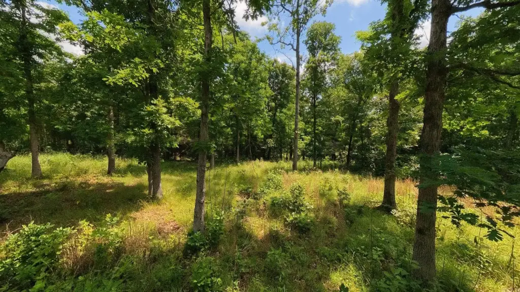
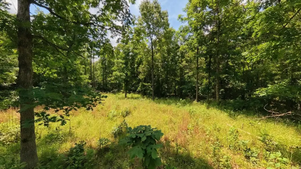
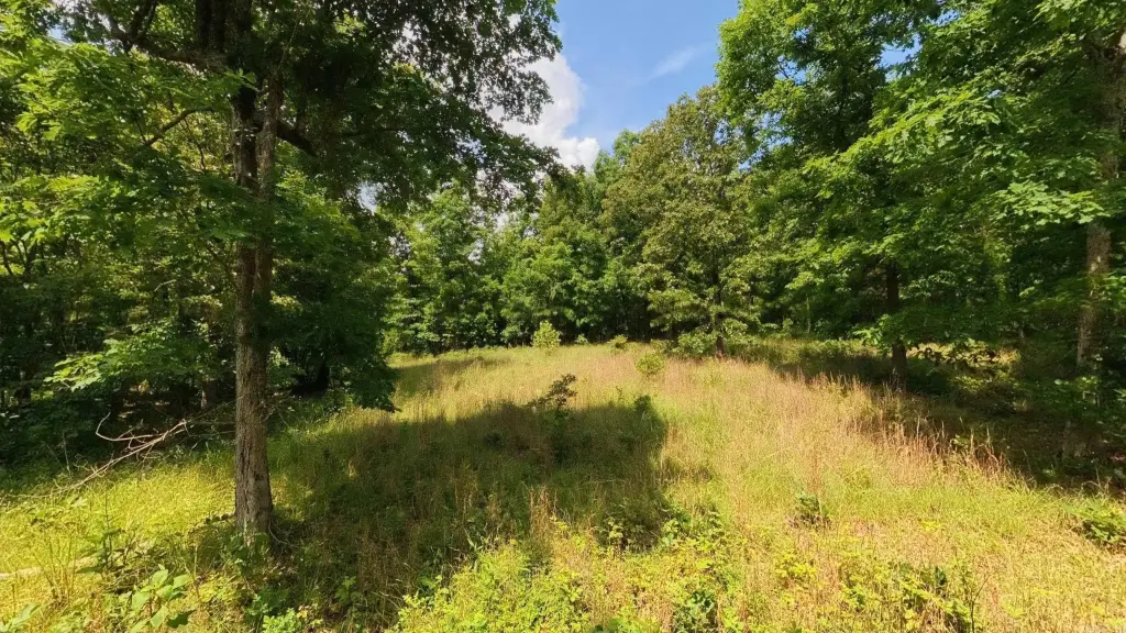
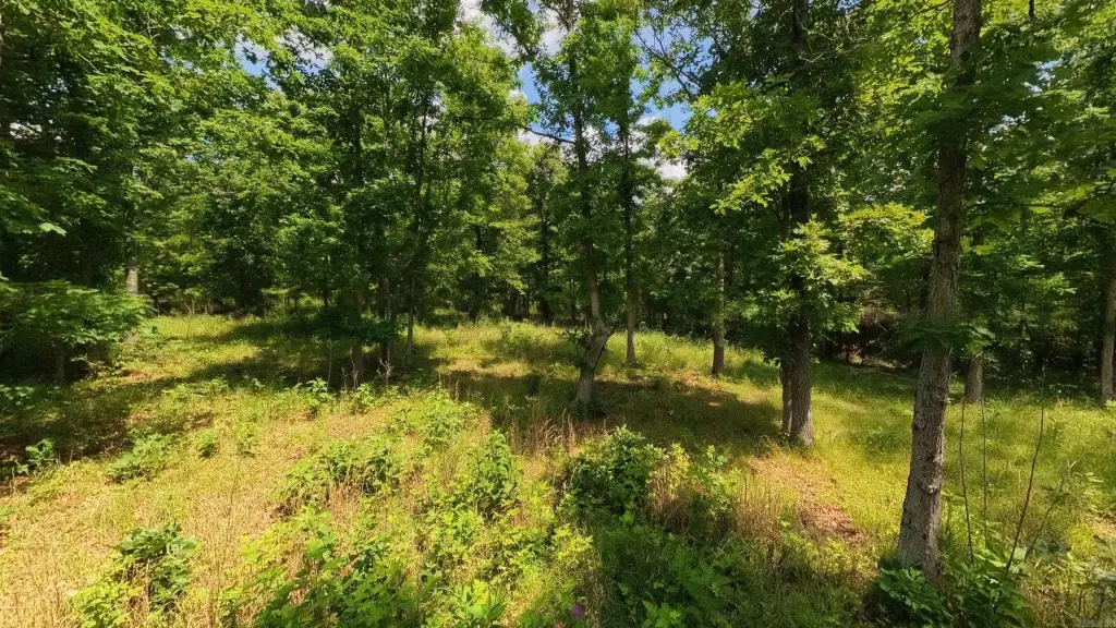
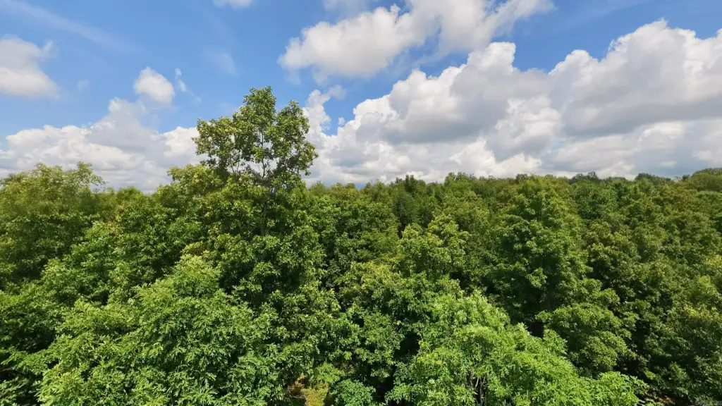
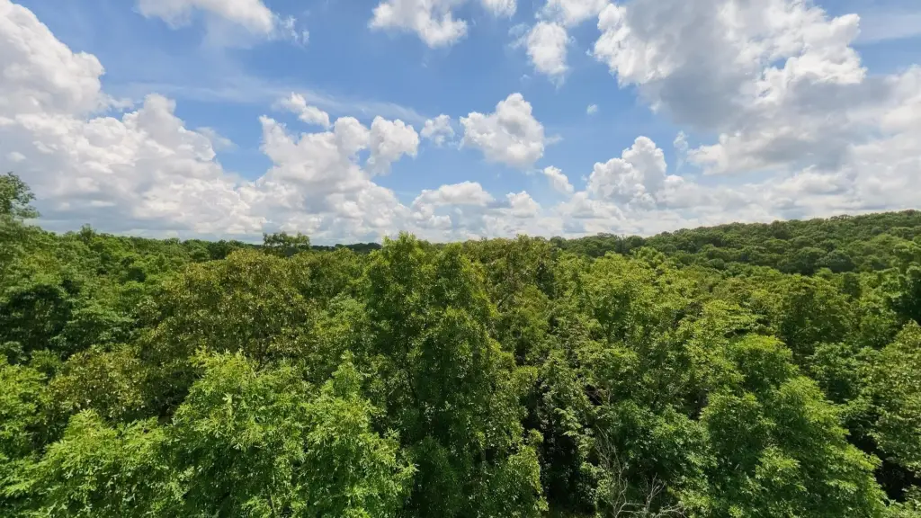
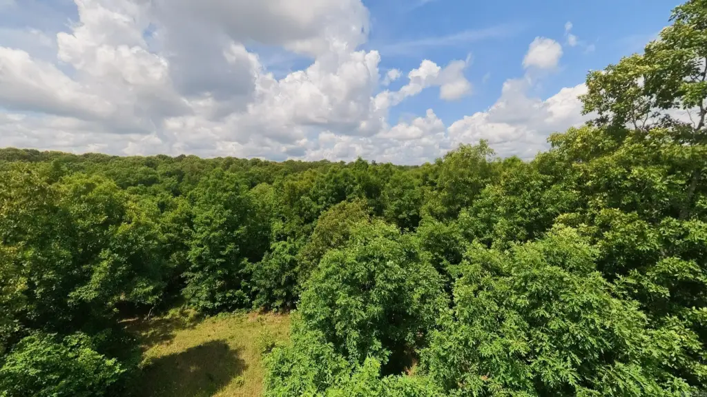
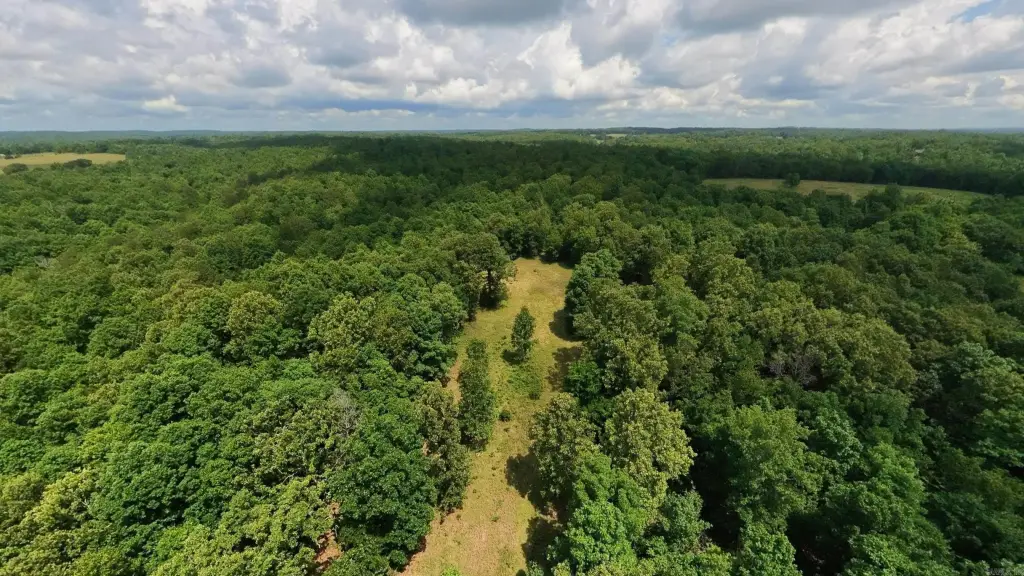
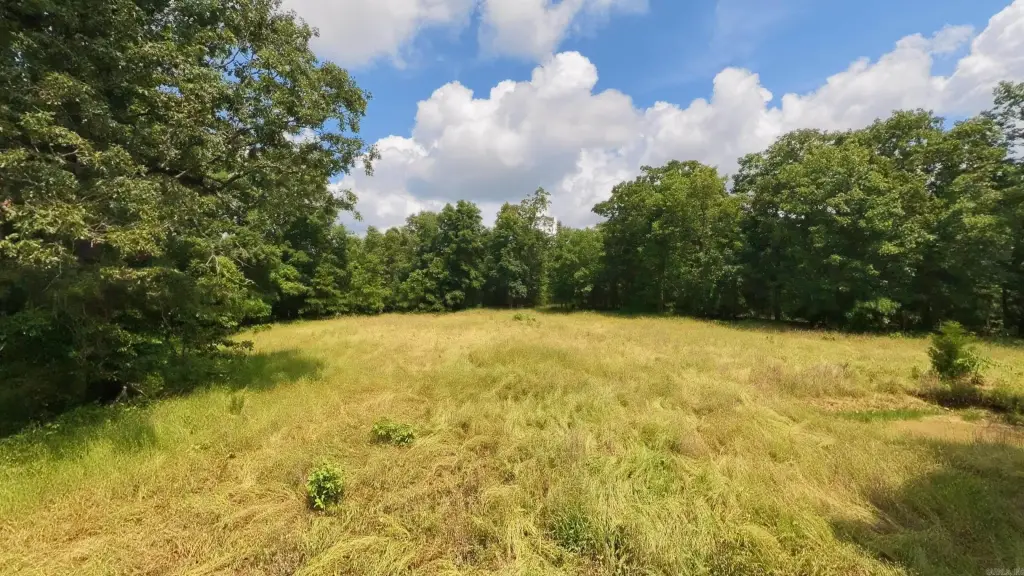
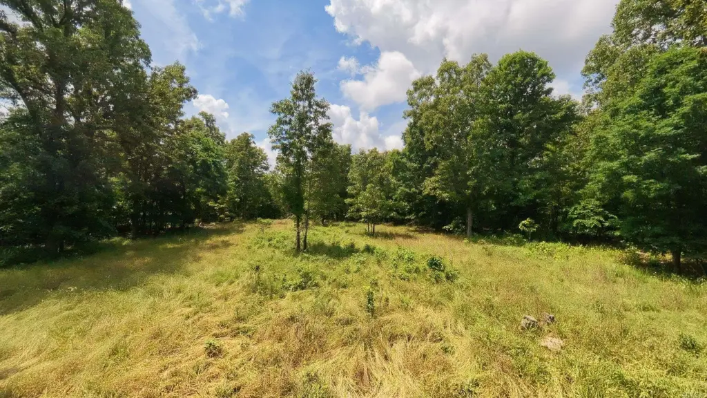
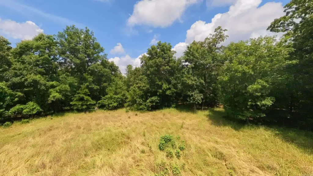
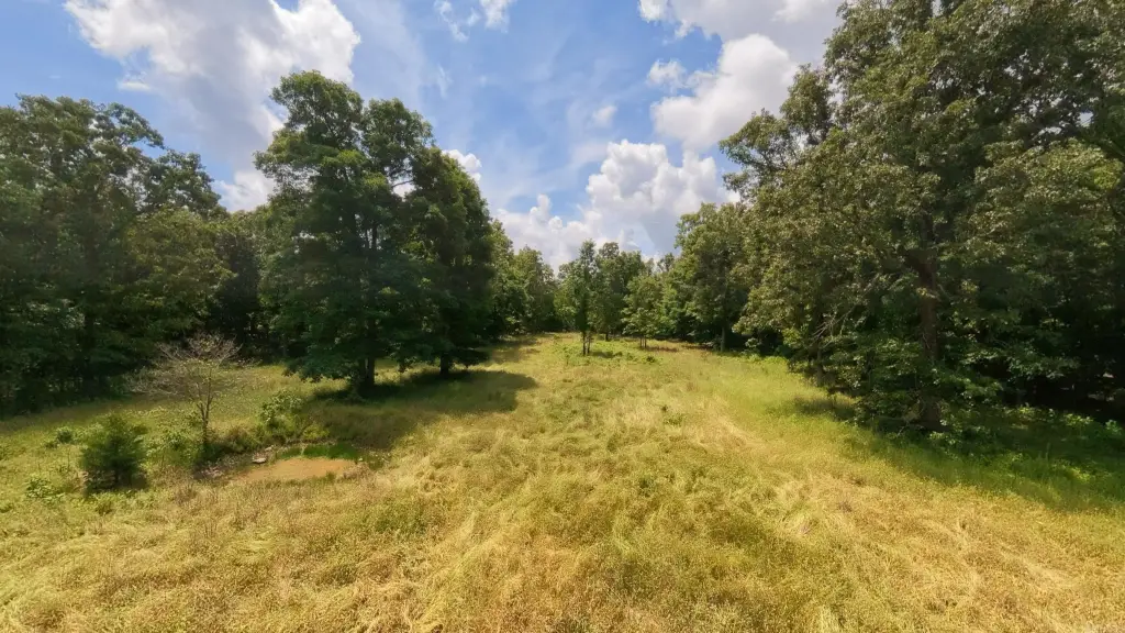
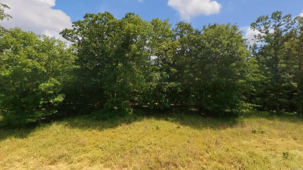
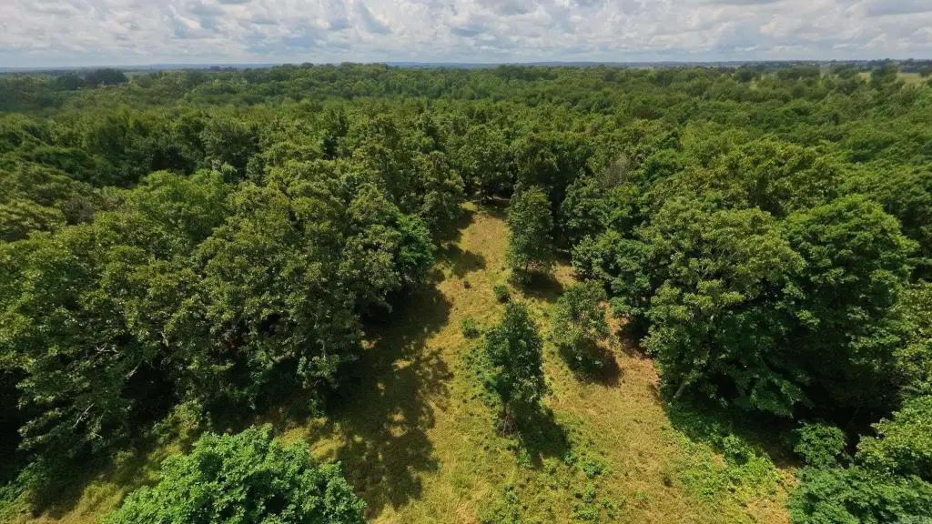
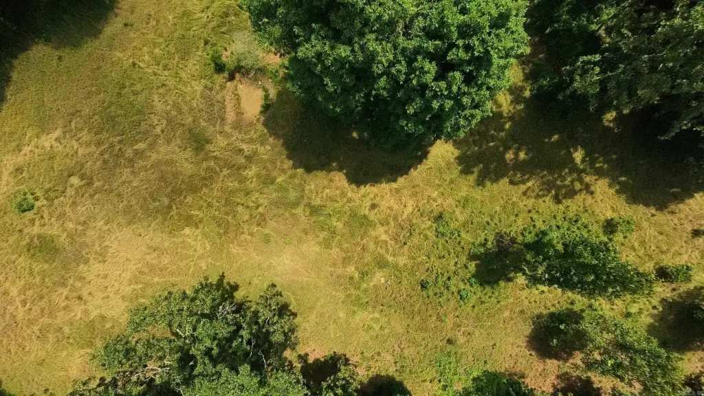
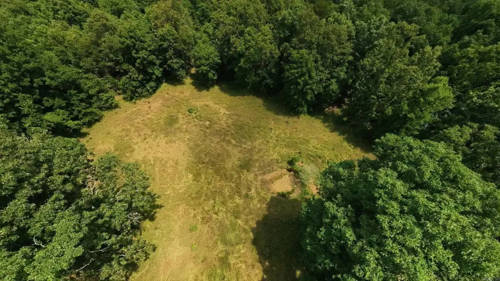
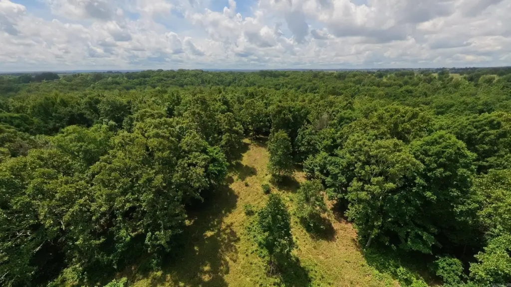
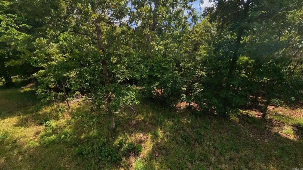
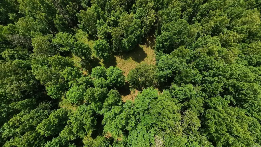
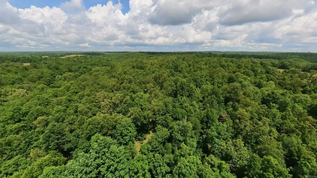
- 40 acres of hunting/recreational land near Mark Twain National Forest in Oregon County, MO
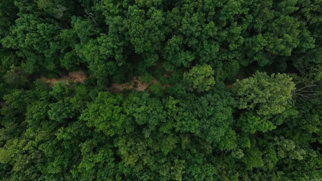
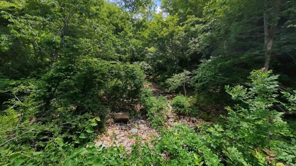
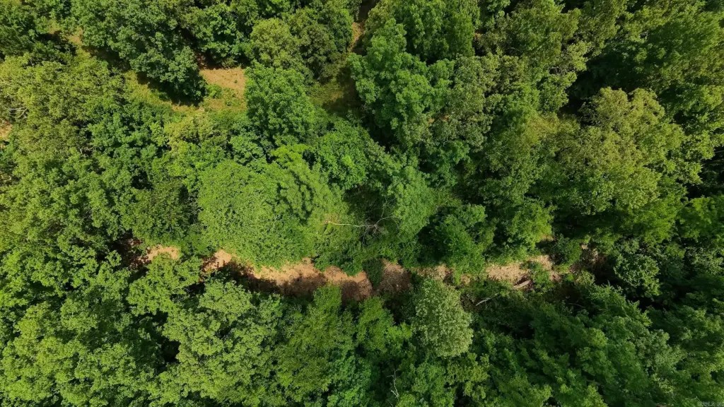
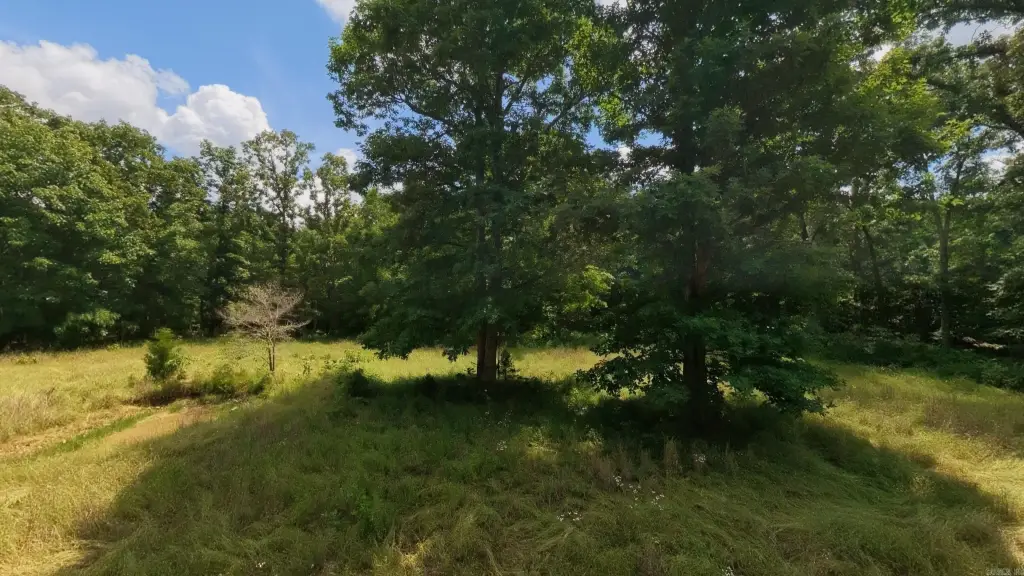
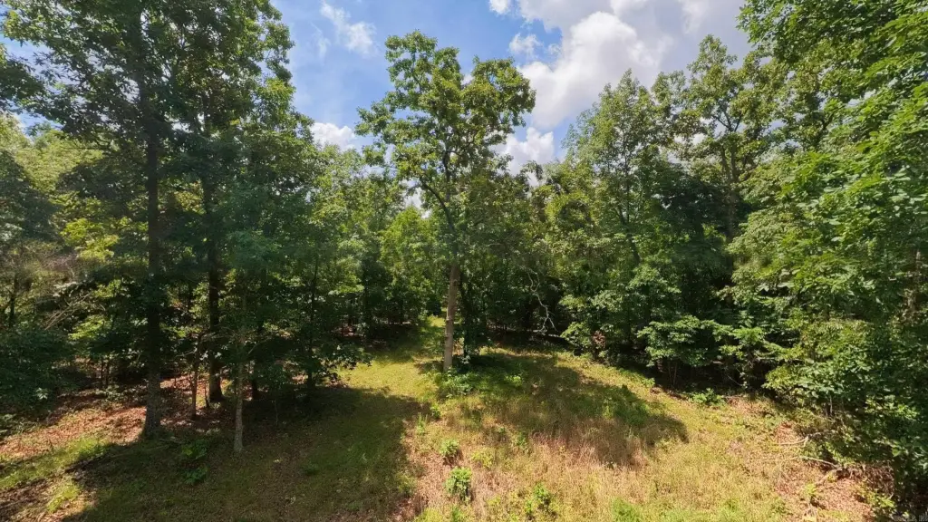
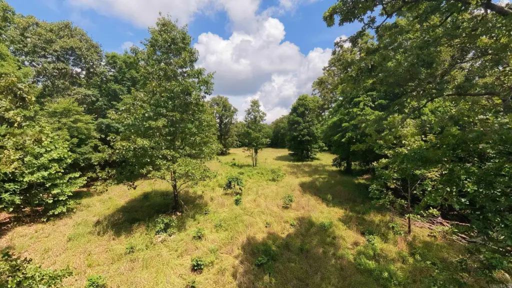
- Mostly wooded with rolling and hilly terrain
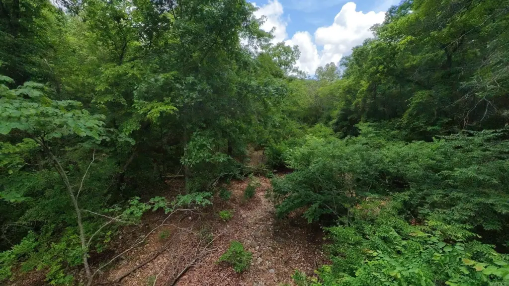
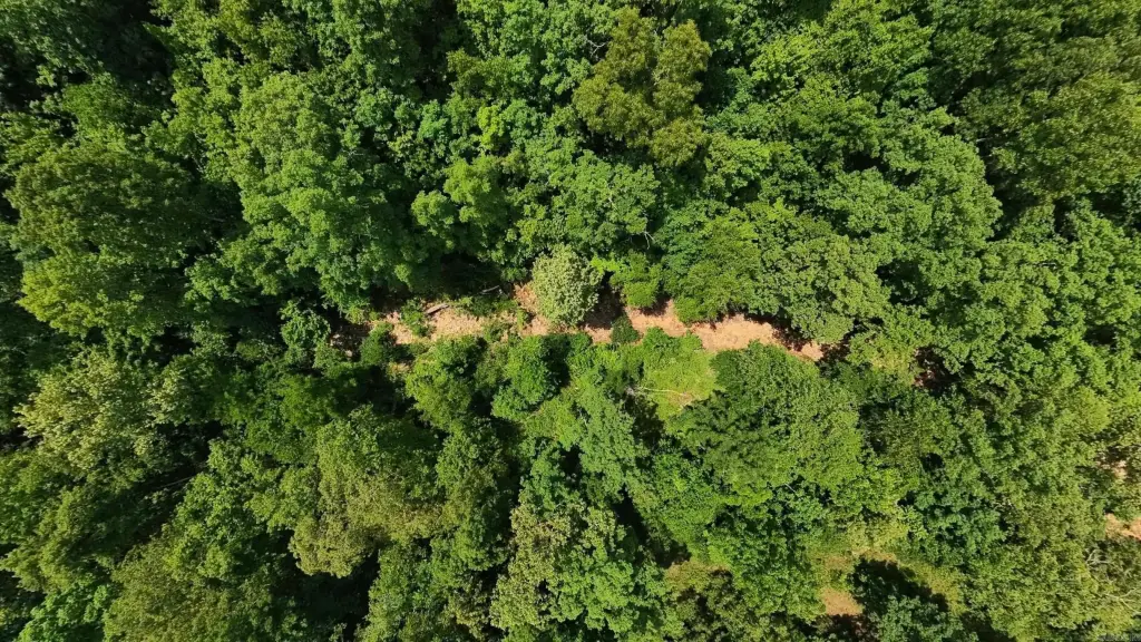
- Fredrick Creek (wet‑weather creek) runs through the property
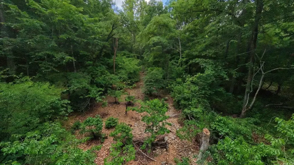
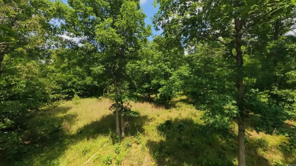
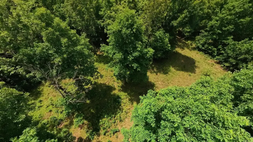
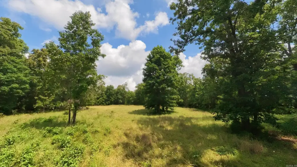
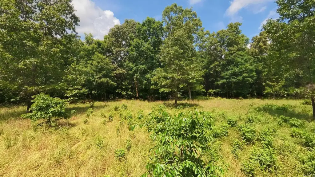
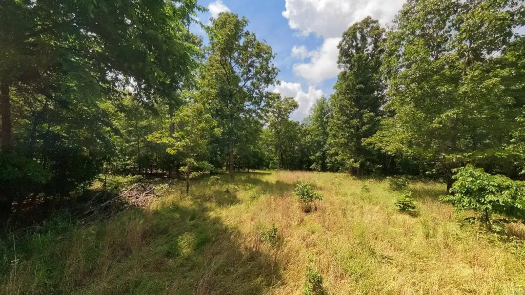
- Established food plot plus existing trails with access for side‑by‑side in some areas and walking trails in others
- Semi‑cleared area near the road suitable for a hunting camp or RV setup
- Partial fencing and electricity nearby; county road access
Overview
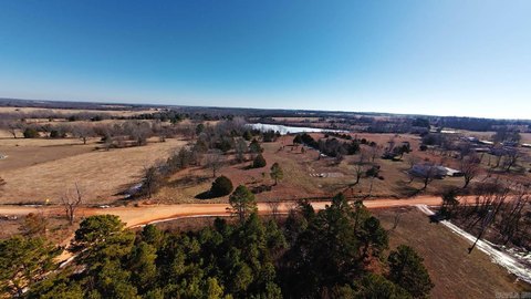
The property is located near Mark Twain National Forest in Oregon County, Missouri, approximately 6 miles from Alton. Access is described as coming from a county road, with side-by-side access in some areas and walking trails in others. The surrounding area includes proximity to public land, which may support frequent hunting and outdoor recreation.
For buyers looking for a private hunting retreat in the Missouri Ozarks, the combination of wooded cover, varied terrain, creek feature, and a ready-to-use food plot can support year-round game habitat and on-site access. Existing trails and partial fencing also reduce the work needed to begin using the property right away. The semi-cleared roadside area provides a workable starting point for developing a camp or RV-oriented weekend base, subject to whatever approvals and site planning the buyer plans for their specific use.
Current Use by Public Records
Map
- City
- Alton
- County
- Oregon
- State
- Missouri
- Longitude
- -91.4394
- Latitude
- 36.6439